<< Our Photo Pages >> Dalginross - Stone Circle in Scotland in Perth and Kinross
Submitted by BigSweetie on Thursday, 11 September 2014 Page Views: 11150
Neolithic and Bronze AgeSite Name: Dalginross Alternative Name: The Court Knoll, The Roundel, Dunmhoid (Dunvoid); MuirendCountry: Scotland
NOTE: This site is 1.219 km away from the location you searched for.
County: Perth and Kinross Type: Stone Circle
Nearest Town: Perth Nearest Village: Comrie
Map Ref: NN7802521264 Landranger Map Number: 52
Latitude: 56.367906N Longitude: 3.976224W
Condition:
| 5 | Perfect |
| 4 | Almost Perfect |
| 3 | Reasonable but with some damage |
| 2 | Ruined but still recognisable as an ancient site |
| 1 | Pretty much destroyed, possibly visible as crop marks |
| 0 | No data. |
| -1 | Completely destroyed |
| 5 | Superb |
| 4 | Good |
| 3 | Ordinary |
| 2 | Not Good |
| 1 | Awful |
| 0 | No data. |
| 5 | Can be driven to, probably with disabled access |
| 4 | Short walk on a footpath |
| 3 | Requiring a bit more of a walk |
| 2 | A long walk |
| 1 | In the middle of nowhere, a nightmare to find |
| 0 | No data. |
| 5 | co-ordinates taken by GPS or official recorded co-ordinates |
| 4 | co-ordinates scaled from a detailed map |
| 3 | co-ordinates scaled from a bad map |
| 2 | co-ordinates of the nearest village |
| 1 | co-ordinates of the nearest town |
| 0 | no data |
Internal Links:
External Links:
I have visited· I would like to visit
Uralsdaughter visited on 22nd Aug 2018 - their rating: Cond: 4 Amb: 4 Access: 5
Anne T visited on 28th Sep 2017 - their rating: Cond: 3 Amb: 4 Access: 5 Dalginross Four Poster, Near Comrie: From the Roman Stone and its companions, we headed north towards Comrie. Where the B827 takes a sharp left hand turn through Dalginross and Comrie, take the South Crieff Road towards Easter Dalginross and Muirhead Cemetery, where there is ample parking.
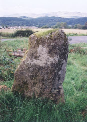
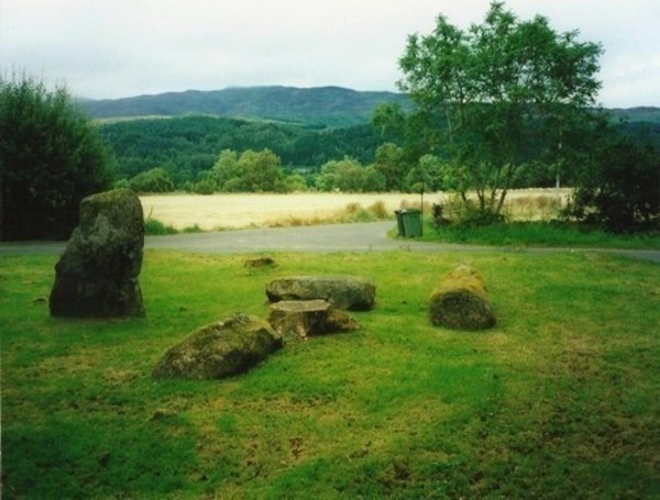
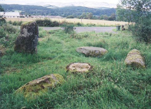
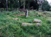
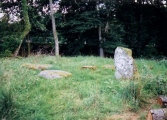
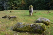
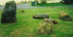
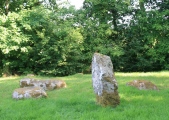
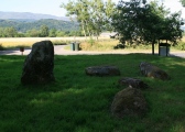
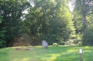
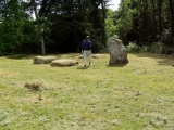
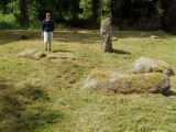
From the layby by the cemetery, we walked back to the road junction with South Crieff Road and the trck to Dalginross Muir Farm; the stone circle is nestled under the trees, with moss covered tree stumps around it.
Quite an enigmatic little stone circle, but I confess that it seemed a little like it had been recently put in here, perhaps as a landscaping feature. I had a bit of a hard time convincing myself it was Bronze Age, but Canmore confirms it is indeed.
MegalithicDania visited on 1st Jul 2011 - their rating: Cond: 4 Amb: 4 Access: 4
Average ratings for this site from all visit loggers: Condition: 3.67 Ambience: 4 Access: 4.67
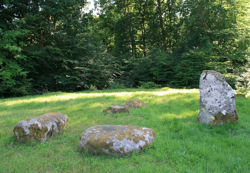
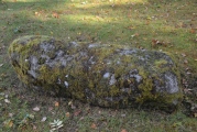
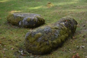
More information can be found on Canmore ID 24857, the very first entry from 1896 says: "Three of the stones were formerly prostrate and were re-erected c.1876, when a stone cist 3' 7" long was found in front of the largest slab. Within living memory an urn filled with ashes was found in the same mound. The place is called Dunmoid, or hill of judgement." A more recent entry from 1966 describes this as a 'four-poster' stone circle.
The Northern Antiquarian (TNA) also feature a page for this site - see their entry for Dunmoid, Dalginross, Comrie, Perthshire which gives directions for finding this stone circle together with a brief archaeology & history, a photograph, draings from 1911 and a 1991 plan.
Note: The Urban Prehistorian visits Dalginross / The Roundel / The Court Knoll / Dunmhoid / Dunvoid stone circle
You may be viewing yesterday's version of this page. To see the most up to date information please register for a free account.








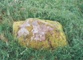
These are just the first 25 photos of Dalginross. If you log in with a free user account you will be able to see our entire collection.
Do not use the above information on other web sites or publications without permission of the contributor.
Click here to see more info for this site
Nearby sites
Key: Red: member's photo, Blue: 3rd party photo, Yellow: other image, Green: no photo - please go there and take one, Grey: site destroyed
Download sites to:
KML (Google Earth)
GPX (GPS waypoints)
CSV (Garmin/Navman)
CSV (Excel)
To unlock full downloads you need to sign up as a Contributory Member. Otherwise downloads are limited to 50 sites.
Turn off the page maps and other distractions
Nearby sites listing. In the following links * = Image available
847m SW 221° West Cowden* Stone Row / Alignment (NN7744520645)
996m SW 216° Comrie Cursus Cursus (NN77422047)
1.1km SW 223° Comrie Cursus Cursus (NN77252048)
1.2km NNW 335° Coney Hill (Comrie)* Misc. Earthwork (NN77552238)
1.3km NW 304° Tom na Chessaig Stone Circle (NN770220)
1.6km W 263° Comrie Cursus Cursus (NN76422112)
1.7km W 273° Craggish (Comrie) Standing Stones (NN763214)
1.8km WSW 250° Craggish Stone Row / Alignment (NN763207)
1.8km SSE 156° Auchingarrich Farm Standing Stone (Menhir) (NN78731958)
2.5km NE 54° Lawers* Standing Stone (Menhir) (NN80102267)
2.8km WNW 294° Tullybannocher* Stone Circle (NN75482247)
3.6km SSE 159° Craigneich Farm* Standing Stone (Menhir) (NN7922617871)
3.7km S 171° Giant's Knowe (Culloch) Cairn (NN78481762)
3.7km ENE 58° Clathick House Standing Stone (Menhir) (NN81212315)
3.9km N 3° Balmuick* Stone Circle (NN78362513)
3.9km E 95° Strowan (Crieff)* Cairn (NN819208)
4.3km SSE 164° Dunruchan C (Muthill)* Standing Stone (Menhir) (NN7910817137)
4.4km WNW 292° Cluan-Glasdale Stone Circle (NN7423)
4.5km SSE 165° Dunruchan D (Muthill)* Standing Stone (Menhir) (NN7904416881)
4.5km E 79° Samson's Stone Standing Stone (Menhir) (NN82512202)
4.5km SSE 166° Dunruchan E (Muthill)* Standing Stone (Menhir) (NN7899716819)
4.6km SSE 167° Craigneich Stones* Standing Stones (NN7894816756)
6.0km WNW 285° Loch Earn Chambered Cairn (NN723230)
6.1km WNW 287° Kindrochat Chambered Cairn (NN722232)
6.2km E 95° Rottenreoch Chambered Cairn (NN842206)
View more nearby sites and additional images


 We would like to know more about this location. Please feel free to add a brief description and any relevant information in your own language.
 Wir möchten mehr über diese Stätte erfahren. Bitte zögern Sie nicht, eine kurze Beschreibung und relevante Informationen in Deutsch hinzuzufügen.
 Nous aimerions en savoir encore un peu sur les lieux. S'il vous plaît n'hesitez pas à ajouter une courte description et tous les renseignements pertinents dans votre propre langue.
 Quisieramos informarnos un poco más de las lugares. No dude en añadir una breve descripción y otros datos relevantes en su propio idioma.