<< Our Photo Pages >> Cranbrook Castle - Hillfort in England in Devon
Submitted by vicky on Monday, 07 October 2002 Page Views: 16857
Iron Age and Later PrehistorySite Name: Cranbrook CastleCountry: England County: Devon Type: Hillfort
Nearest Town: Bovey Tracey Nearest Village: Easton
Map Ref: SX7386889010 Landranger Map Number: 191
Latitude: 50.687030N Longitude: 3.786913W
Condition:
| 5 | Perfect |
| 4 | Almost Perfect |
| 3 | Reasonable but with some damage |
| 2 | Ruined but still recognisable as an ancient site |
| 1 | Pretty much destroyed, possibly visible as crop marks |
| 0 | No data. |
| -1 | Completely destroyed |
| 5 | Superb |
| 4 | Good |
| 3 | Ordinary |
| 2 | Not Good |
| 1 | Awful |
| 0 | No data. |
| 5 | Can be driven to, probably with disabled access |
| 4 | Short walk on a footpath |
| 3 | Requiring a bit more of a walk |
| 2 | A long walk |
| 1 | In the middle of nowhere, a nightmare to find |
| 0 | No data. |
| 5 | co-ordinates taken by GPS or official recorded co-ordinates |
| 4 | co-ordinates scaled from a detailed map |
| 3 | co-ordinates scaled from a bad map |
| 2 | co-ordinates of the nearest village |
| 1 | co-ordinates of the nearest town |
| 0 | no data |
Internal Links:
External Links:
I have visited· I would like to visit
lauraaurora visited on 4th Apr 2022 - their rating: Cond: 4 Amb: 4 Access: 3
TheCaptain saw from a distance on 26th Feb 2019 Cranbrook Castle hillfort can be seen to the northwest of Butterdon Down. I decide that with it only being February, and with it getting dark by 5:00pm, I will not visit, but go for a pint in the Union Inn at Moretomhampstead before heading out to Houndtor.
graemefield visited on 6th Aug 2008 - their rating: Cond: 3 Amb: 4 Access: 3
Average ratings for this site from all visit loggers: Condition: 3.5 Ambience: 4 Access: 3

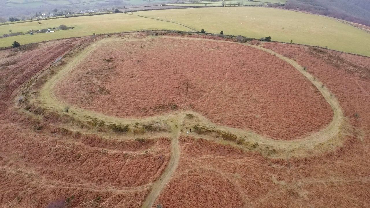
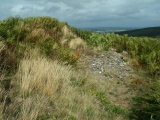
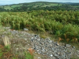
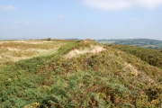
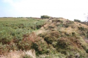
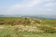
Update September 2019: This site is featured on the Prehistoric Dartmoor Walks (PDW) website - see their entry for Cranbrook Castle Fort, which includes a photograph and description. PDW tells us: "The outer rampart cuts or overlies the banks of an earlier field system. Upwards of 30 clearance cairns are visible in the interior; date unknown. The outer defences on the east and west sides are clearly incomplete. On the north side the inner rampart line is marked by 2 very low linear dumps of stone, which appear to have acted as markers for the front and rear of the rampart".
The fort is also recorded as Pastscape Monument No. 445462, which tells us this is an unfinished Iron Age multivallate hillfort. The Devon and Dartmoor HER also includes an entry: MDV8221 (Cranbrook Castle).
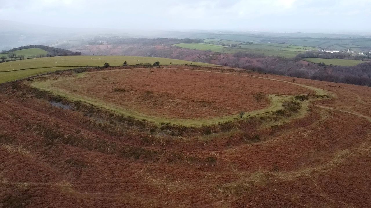
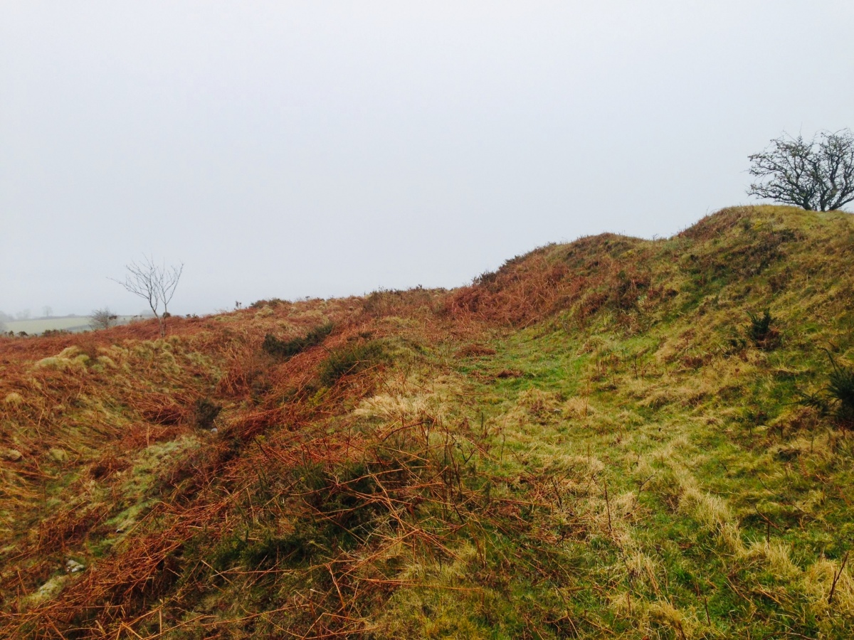
The hillfort is also scheduled as Historic England List ID 1003860 (Cranbrook Castle), which adds: "The hillfort survives as a square enclosure measuring 160m across internally. It is defined to the north by a single rampart. To the east, west and south is a substantial rampart bank with a stone core, some stone revetment and a deep outer ditch. Whilst to the south and south west only is a further ditched counterscarp bank. There are two entrances to the interior, a simple gap with causeway to the east and to the south west a causewayed gap". HE adds the cairns within the northern part of the hillfort are thought to be clearance cairns from past cultivation of the interior of the fort.
You may be viewing yesterday's version of this page. To see the most up to date information please register for a free account.





Do not use the above information on other web sites or publications without permission of the contributor.
Click here to see more info for this site
Nearby sites
Key: Red: member's photo, Blue: 3rd party photo, Yellow: other image, Green: no photo - please go there and take one, Grey: site destroyed
Download sites to:
KML (Google Earth)
GPX (GPS waypoints)
CSV (Garmin/Navman)
CSV (Excel)
To unlock full downloads you need to sign up as a Contributory Member. Otherwise downloads are limited to 50 sites.
Turn off the page maps and other distractions
Nearby sites listing. In the following links * = Image available
512m NE 39° Charles Cross* Ancient Cross (SX742894)
1.1km ESE 122° Butterdon Down West* Standing Stone (Menhir) (SX74788840)
1.3km ESE 115° Butterdon Down Cairns* Barrow Cemetery (SX75028843)
1.4km NE 40° Prestonbury Castle* Hillfort (SX7477490045)
2.5km SSW 212° Meacombe Cist* Burial Chamber or Dolmen (SX7249486904)
2.6km SSW 207° Meacombe Cist Landscape Natural Stone / Erratic / Other Natural Feature (SX726867)
2.7km E 82° Wooston Castle* Hillfort (SX76608935)
3.2km ESE 113° Mardon Down N* Stone Circle (SX76758768)
3.3km ESE 117° The Giant's Grave Mardon Down* Cairn (SX76768746)
3.3km ESE 117° Mardon Down Cairn 3* Cairn (SX7677487432)
3.3km ESE 114° Marden Down East* Ring Cairn (SX76908760)
3.3km ESE 120° Mardon Down Ring Cairn* Ring Cairn (SX7672987264)
3.4km ESE 118° Mardon Down Mortar Pit* Modern Stone Circle etc (SX76808735)
3.4km SSE 150° Moretonhampstead Cross* Ancient Cross (SX7550886039)
3.4km ESE 109° Headless Cross (Moretonhampstead)* Modern Stone Circle etc (SX77068781)
3.4km ESE 121° Mardon Down S* Stone Circle (SX76768719)
3.4km ESE 121° Mardon Down Cairn 1* Cairn (SX76768716)
3.5km SW 217° Chagford Druid's Well* Holy Well or Sacred Spring (SX71658625)
3.6km SW 223° Shorter Cross* Ancient Cross (SX7136886437)
3.7km SW 226° Week Down Cross* Ancient Cross (SX7115886534)
3.9km WSW 247° Chagford Cross* Ancient Cross (SX7020187542)
4.1km SW 233° Natterdon Common fort* Hillfort (SX70488660)
4.2km WNW 294° Spinsters' Rock* Burial Chamber or Dolmen (SX70109079)
4.3km S 173° Horspit Cross* Ancient Cross (SX7430684741)
4.3km SE 145° One Mill Bridge Cross* Ancient Cross (SX76268544)
View more nearby sites and additional images


 We would like to know more about this location. Please feel free to add a brief description and any relevant information in your own language.
 Wir möchten mehr über diese Stätte erfahren. Bitte zögern Sie nicht, eine kurze Beschreibung und relevante Informationen in Deutsch hinzuzufügen.
 Nous aimerions en savoir encore un peu sur les lieux. S'il vous plaît n'hesitez pas à ajouter une courte description et tous les renseignements pertinents dans votre propre langue.
 Quisieramos informarnos un poco más de las lugares. No dude en añadir una breve descripción y otros datos relevantes en su propio idioma.