<< Our Photo Pages >> High Banks Farm - Rock Art in Scotland in Dumfries and Galloway
Submitted by Greengirl on Thursday, 05 September 2024 Page Views: 19078
Rock ArtSite Name: High Banks FarmCountry: Scotland County: Dumfries and Galloway Type: Rock Art
Nearest Town: Kirckudbright
Map Ref: NX70914895 Landranger Map Number: 83
Latitude: 54.818719N Longitude: 4.01058W
Condition:
| 5 | Perfect |
| 4 | Almost Perfect |
| 3 | Reasonable but with some damage |
| 2 | Ruined but still recognisable as an ancient site |
| 1 | Pretty much destroyed, possibly visible as crop marks |
| 0 | No data. |
| -1 | Completely destroyed |
| 5 | Superb |
| 4 | Good |
| 3 | Ordinary |
| 2 | Not Good |
| 1 | Awful |
| 0 | No data. |
| 5 | Can be driven to, probably with disabled access |
| 4 | Short walk on a footpath |
| 3 | Requiring a bit more of a walk |
| 2 | A long walk |
| 1 | In the middle of nowhere, a nightmare to find |
| 0 | No data. |
| 5 | co-ordinates taken by GPS or official recorded co-ordinates |
| 4 | co-ordinates scaled from a detailed map |
| 3 | co-ordinates scaled from a bad map |
| 2 | co-ordinates of the nearest village |
| 1 | co-ordinates of the nearest town |
| 0 | no data |
Internal Links:
External Links:
I have visited· I would like to visit
PAB SumDoood VERITAS macd would like to visit
Greengirl visited on 22nd Jan 2020 - their rating: Cond: 4 Amb: 5 Access: 3 Not far fromKirkcudbright. The farm track requires careful driving. Walk from the farm is well signposted and easy going but 2 steep stiles to cross
emerald visited on 19th Dec 2018 - their rating: Cond: 3 Amb: 4 Access: 3
Anne T couldn't find on 19th Sep 2014 High Banks Farm Rock Art: Found the track to High Banks Farm easily enough, but husband wouldn't risk our car on the farm track, saying that we'd need a four wheel drive to attempt it. Our tight schedule of sites to visit for the rest of the afternoon didn't allow time to walk up to this rock art site, so sadly we've had to leave this until another day - a future treat!
SolarMegalith visited on 7th Sep 2013 - their rating: Cond: 4 Amb: 4 Access: 4
DrewParsons have visited here
Average ratings for this site from all visit loggers: Condition: 3.67 Ambience: 4.33 Access: 3.33
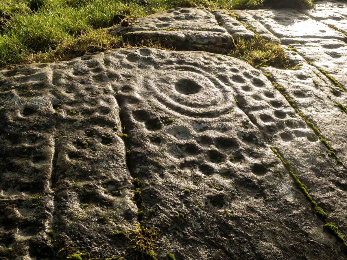
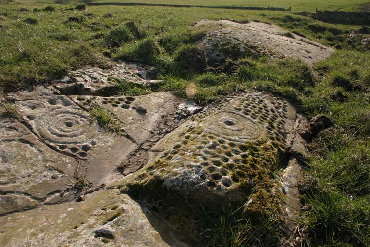
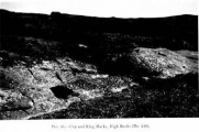
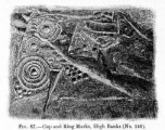
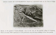
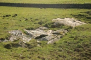
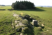
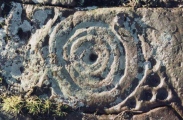
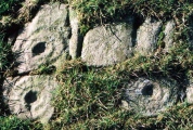
Signposts lead you across a couple of fields (very muddy in wet weather and full of livestock) to this fantastic outcrop.
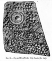
For more information see Canmore ID 64442.
Page originally by Vicky
Note: There is a pre-planning proposal to create a solar farm at High Banks Farm. We've been asked if those with academic knowledge of the significance of these carvings could involve themselves with the planning process, more in the comments on our page
You may be viewing yesterday's version of this page. To see the most up to date information please register for a free account.







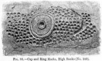
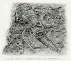
These are just the first 25 photos of High Banks Farm. If you log in with a free user account you will be able to see our entire collection.
Do not use the above information on other web sites or publications without permission of the contributor.
Click here to see more info for this site
Nearby sites
Key: Red: member's photo, Blue: 3rd party photo, Yellow: other image, Green: no photo - please go there and take one, Grey: site destroyed
Download sites to:
KML (Google Earth)
GPX (GPS waypoints)
CSV (Garmin/Navman)
CSV (Excel)
To unlock full downloads you need to sign up as a Contributory Member. Otherwise downloads are limited to 50 sites.
Turn off the page maps and other distractions
Nearby sites listing. In the following links * = Image available
627m SE 141° Galtway Hill Cairn (NX71294845)
648m NW 305° High Banks Southern Cairn* Cairn (NX70394934)
693m NW 317° High Banks Northern Cairn* Cairn (NX70454947)
1.5km ENE 77° Castlecreavie Settlement* Ancient Village or Settlement (NX72374925)
1.6km E 89° Castlecreavie Dun* Stone Fort or Dun (NX72544894)
1.6km E 89° Castlecreavie Rock Art* Rock Art (NX7255748944)
1.7km NE 53° Bombie 1 Rock Art (NX72294994)
1.8km ENE 60° Bombie 3* Rock Art (NX7250349821)
1.8km ENE 59° Bombie 2* Rock Art (NX72504985)
1.8km ENE 57° Bombie North* Rock Art (NX7249449901)
2.3km SSW 212° Townhead* Rock Art (NX69644705)
2.4km E 90° Newlaw Hill* Rock Art (NX73324887)
2.5km SW 234° Grange 3 (Dumfries and Galloway)* Rock Art (NX6883947526)
2.8km SSW 213° Blackhill Cottage* Rock Art (NX69334663)
2.8km NW 307° Kirkcudbright Standing Stones* Standing Stones (NX6870450736)
2.9km WNW 292° Butter Well (Kirkcudbright) Holy Well or Sacred Spring (NX6821250148)
3.2km NW 305° Stewartry Museum* Museum (NX68335086)
3.2km NW 309° Soaperie Gardens Well (Kirkcudbright)* Holy Well or Sacred Spring (NX6843251039)
3.4km WNW 303° Mercat Cross (Kirkcudbright)* Ancient Cross (NX6807650896)
3.5km N 357° Culdoach* Rock Art (NX70835250)
3.6km W 267° Monk's Well (Kirkcudbright) Holy Well or Sacred Spring (NX6730048892)
3.7km SSW 213° Drummore Castle* Stone Circle (NX688459)
3.7km SSW 213° Drummore* Stone Circle (NX688459)
3.8km SSW 212° Drummore Hillfort* Hillfort (NX688458)
4.2km SW 221° Torrs 2* Rock Art (NX68054586)
View more nearby sites and additional images


 We would like to know more about this location. Please feel free to add a brief description and any relevant information in your own language.
 Wir möchten mehr über diese Stätte erfahren. Bitte zögern Sie nicht, eine kurze Beschreibung und relevante Informationen in Deutsch hinzuzufügen.
 Nous aimerions en savoir encore un peu sur les lieux. S'il vous plaît n'hesitez pas à ajouter une courte description et tous les renseignements pertinents dans votre propre langue.
 Quisieramos informarnos un poco más de las lugares. No dude en añadir una breve descripción y otros datos relevantes en su propio idioma.