<< Our Photo Pages >> Wren's Egg - Standing Stones in Scotland in Dumfries and Galloway
Submitted by cosmic on Friday, 08 October 2004 Page Views: 13767
Neolithic and Bronze AgeSite Name: Wren's Egg Alternative Name: Blairbuy StoneCountry: Scotland County: Dumfries and Galloway Type: Standing Stones
Nearest Town: Stranraer
Map Ref: NX36104199 Landranger Map Number: 83
Latitude: 54.746058N Longitude: 4.547868W
Condition:
| 5 | Perfect |
| 4 | Almost Perfect |
| 3 | Reasonable but with some damage |
| 2 | Ruined but still recognisable as an ancient site |
| 1 | Pretty much destroyed, possibly visible as crop marks |
| 0 | No data. |
| -1 | Completely destroyed |
| 5 | Superb |
| 4 | Good |
| 3 | Ordinary |
| 2 | Not Good |
| 1 | Awful |
| 0 | No data. |
| 5 | Can be driven to, probably with disabled access |
| 4 | Short walk on a footpath |
| 3 | Requiring a bit more of a walk |
| 2 | A long walk |
| 1 | In the middle of nowhere, a nightmare to find |
| 0 | No data. |
| 5 | co-ordinates taken by GPS or official recorded co-ordinates |
| 4 | co-ordinates scaled from a detailed map |
| 3 | co-ordinates scaled from a bad map |
| 2 | co-ordinates of the nearest village |
| 1 | co-ordinates of the nearest town |
| 0 | no data |
Internal Links:
External Links:
I have visited· I would like to visit
Energyman would like to visit
SolarMegalith visited on 8th Sep 2013 - their rating: Cond: 3 Amb: 4 Access: 4
Richard13 visited on 1st Mar 2008 - their rating: Cond: 4 Amb: 4 Access: 4
jeniferj visited - their rating: Cond: 3 Amb: 3 Access: 4
Average ratings for this site from all visit loggers: Condition: 3.33 Ambience: 3.67 Access: 4
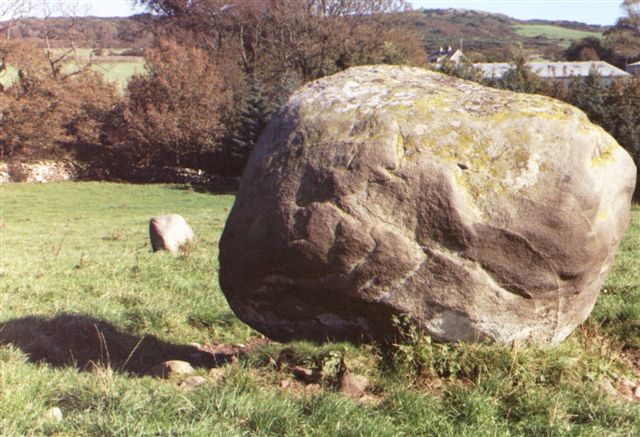
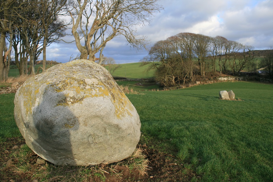
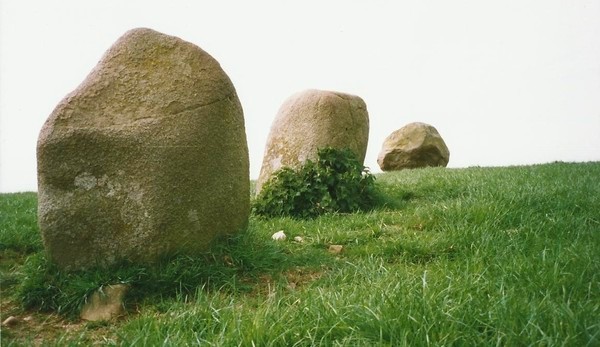
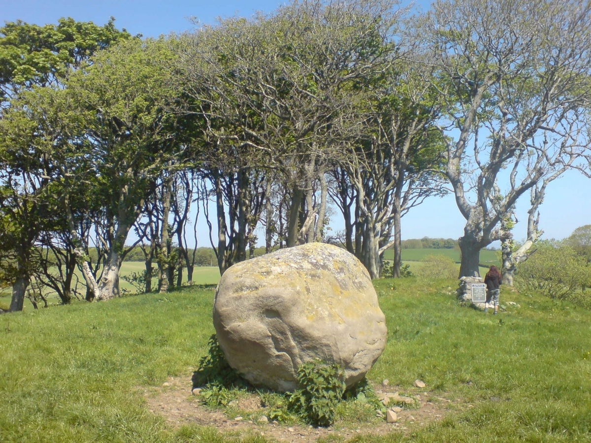
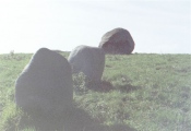
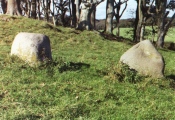
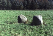
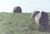
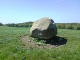
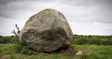
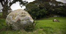
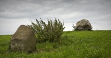
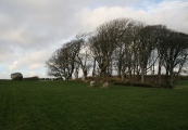
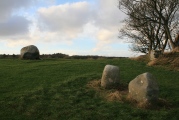
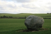
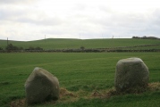
Historic Scotland names this site as Blairbuy Stone so despite the dominating presence of the Wren's Egg glacial erratic that is what it will be! The two stones are only about 2.5 to 3 feet tall so are dominated by the six feet high Wren's Egg. They don't quite line up with it though!
The nearby Milton Hill pair have roughly the same alignment.
For more information see Canmore ID 62752. An extract from their 2012 excavation report records: "The farmer had encountered a stone slab on during ploughing on 29h March 2012; this was in fact the capstone of a stone cist burial. On further investigation ... and after the removal of the plough-soil overburden under archaeological supervision, two additional stone cists were found in close proximity to the first. One cist contained skeletal remains and no artefacts; the other two cists did not contain skeletal remains or artefacts. All of the cists lay on a slight ridge leaving them at risk from further damage by agricultural practices. For this reason it was deemed necessary to record and remove the cists and any contents by archaeological excavation."
A further paragraph from a 1986 publication account reads: "This term of gentle irony is applied to a large granite boulder, a glacial erratic, which sits on the edge of a low ridge in a field north-west of Blairbuie Farmhouse. About 15m east and downhill from the boulder is a pair of smaller standing stones, 1.5m apart, whose relative positions gave rise to the belief that they were the surviving inner and outer elements of a double concentric stone circle centred on the 'Egg'. Survey and excavation have shown that a circle of any kind is unlikely to have existed here. The bases of the standing stones yielded meagre evidence oflate 3rd and 2nd millennium activity."
You may be viewing yesterday's version of this page. To see the most up to date information please register for a free account.



These are just the first 25 photos of Wren's Egg. If you log in with a free user account you will be able to see our entire collection.
Do not use the above information on other web sites or publications without permission of the contributor.
Click here to see more info for this site
Nearby sites
Key: Red: member's photo, Blue: 3rd party photo, Yellow: other image, Green: no photo - please go there and take one, Grey: site destroyed
Download sites to:
KML (Google Earth)
GPX (GPS waypoints)
CSV (Garmin/Navman)
CSV (Excel)
To unlock full downloads you need to sign up as a Contributory Member. Otherwise downloads are limited to 50 sites.
Turn off the page maps and other distractions
Nearby sites listing. In the following links * = Image available
406m SSE 168° Milton Hill* Standing Stones (NX36174159)
698m E 87° Blairbuy 4 Rock Art (NX368420)
750m NE 52° Blairbuy 6* Rock Art (NX36714243)
767m NE 53° Blairbuy 11 Carving (NX36734243)
844m N 358° Black Loch of Myrton Settlement* Crannog (NX3610442835)
1.2km N 8° Lady Well (Monreith Mains) Holy Well or Sacred Spring (NX36314315)
1.2km ESE 123° Blairbuy 1* Rock Art (NX371413)
1.3km NNW 347° White Loch of Myrton* Crannog (NX35854328)
1.4km E 93° Fell of Barhullion* Hillfort (NX37454188)
1.4km ENE 74° Blairbuy 3* Rock Art (NX37464233)
1.4km ESE 123° Blairbuy 2* Rock Art (NX37284117)
1.5km E 97° Blairbuy 5* Rock Art (NX37594175)
1.5km SSE 163° Knock Rock Art (4)* Rock Art (NX365405)
1.6km WSW 238° Barsalloch* Promontory Fort / Cliff Castle (NX3472041210)
1.9km SSE 167° Knock Rock Art (1)* Rock Art (NX36454012)
2.0km SSE 168° St Medana's Well* Holy Well or Sacred Spring (NX36454005)
2.1km SSE 165° Kirkmaiden Old Church* Ancient Cross (NX3655739968)
2.2km SSE 157° Knock 5* Carving (NX36903995)
2.3km N 7° Drumtroddan Stone Row* Stone Row / Alignment (NX36454430)
2.6km SSE 163° Boden Walls Well Holy Well or Sacred Spring (NX36773947)
2.8km N 1° Drumtroddan Cup and Ring Markings* Rock Art (NX36264474)
4.5km ENE 61° White Loch. Crannog (NX40174404)
6.0km SE 140° Laggan Camp* Hillfort (NX3976437252)
6.4km SE 134° Glasserton Mains* Rock Art (NX40613737)
6.5km NNE 17° Longcastle School House* Standing Stone (Menhir) (NX3824948105)
View more nearby sites and additional images


 We would like to know more about this location. Please feel free to add a brief description and any relevant information in your own language.
 Wir möchten mehr über diese Stätte erfahren. Bitte zögern Sie nicht, eine kurze Beschreibung und relevante Informationen in Deutsch hinzuzufügen.
 Nous aimerions en savoir encore un peu sur les lieux. S'il vous plaît n'hesitez pas à ajouter une courte description et tous les renseignements pertinents dans votre propre langue.
 Quisieramos informarnos un poco más de las lugares. No dude en añadir una breve descripción y otros datos relevantes en su propio idioma.