<< Our Photo Pages >> Trethevy Quoit - Burial Chamber or Dolmen in England in Cornwall
Submitted by stone on Thursday, 09 September 2021 Page Views: 33166
Neolithic and Bronze AgeSite Name: Trethevy Quoit Alternative Name: The Giant's HouseCountry: England County: Cornwall Type: Burial Chamber or Dolmen
Nearest Town: Liskeard Nearest Village: St Cleer
Map Ref: SX2593668813 Landranger Map Number: 201
Latitude: 50.493197N Longitude: 4.45541W
Condition:
| 5 | Perfect |
| 4 | Almost Perfect |
| 3 | Reasonable but with some damage |
| 2 | Ruined but still recognisable as an ancient site |
| 1 | Pretty much destroyed, possibly visible as crop marks |
| 0 | No data. |
| -1 | Completely destroyed |
| 5 | Superb |
| 4 | Good |
| 3 | Ordinary |
| 2 | Not Good |
| 1 | Awful |
| 0 | No data. |
| 5 | Can be driven to, probably with disabled access |
| 4 | Short walk on a footpath |
| 3 | Requiring a bit more of a walk |
| 2 | A long walk |
| 1 | In the middle of nowhere, a nightmare to find |
| 0 | No data. |
| 5 | co-ordinates taken by GPS or official recorded co-ordinates |
| 4 | co-ordinates scaled from a detailed map |
| 3 | co-ordinates scaled from a bad map |
| 2 | co-ordinates of the nearest village |
| 1 | co-ordinates of the nearest town |
| 0 | no data |
Internal Links:
External Links:
I have visited· I would like to visit
woodini254 DrewParsons SumDoood Monocular71 rrmoser would like to visit
bishop_pam visited on 7th Apr 2025 - their rating: Cond: 5 Amb: 4 Access: 5
LSEllis visited on 12th Feb 2024 - their rating: Access: 4
ajmp3003 visited on 1st Jan 2024 - their rating: Cond: 5 Amb: 3 Access: 4
Neil1911 visited on 24th Mar 2023 - their rating: Cond: 4 Amb: 4 Access: 5 Recent rain made it a bit wet underfoot but with care I managed to keep my socks dry! The lawn mowers just finishing work helped a lot.
Hodur visited on 22nd Jul 2018 - their rating: Cond: 4 Amb: 4 Access: 5
lucasn visited on 26th Oct 2017 - their rating: Cond: 5 Amb: 4 Access: 5
lichen visited on 2nd Sep 2015 - their rating: Cond: 4 Amb: 4 Access: 5
NickyD visited on 21st Aug 2015 - their rating: Cond: 4 Amb: 3 Access: 5
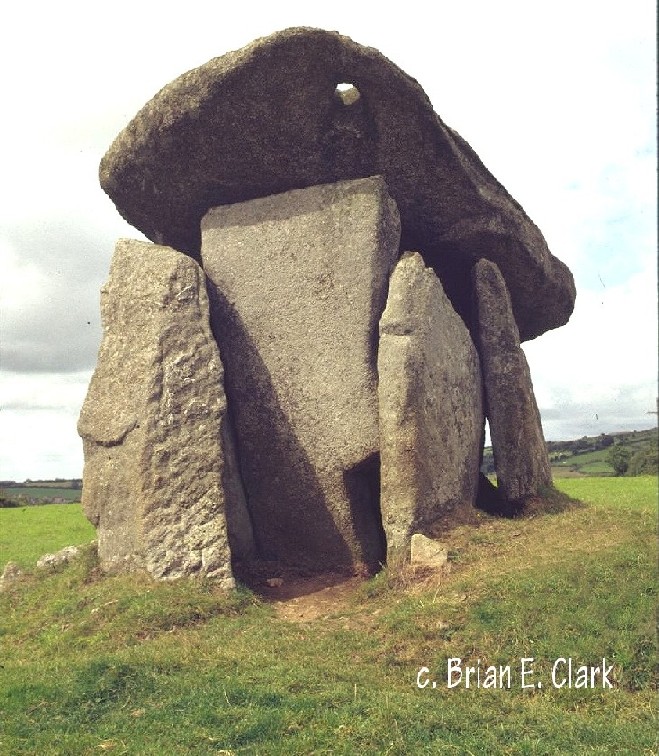
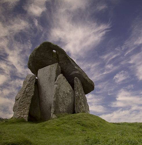
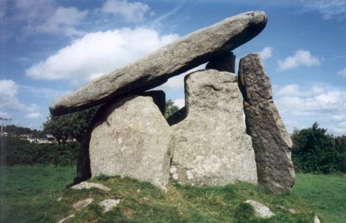
shawid visited on 19th Feb 2015 - their rating: Cond: 5 Amb: 3 Access: 5 Still astonished that the huge capstone hasn't slipped off!
ModernExplorers visited on 9th Mar 2013 - their rating: Cond: 3 Amb: 4 Access: 4 A huge sloping dolmen in a field next to a row of houses
jeffrep visited on 19th May 2011 - their rating: Cond: 4 Amb: 3 Access: 4
graemefield visited on 8th Jun 1998 - their rating: Cond: 3 Amb: 4 Access: 5
Arjessa visited on 20th Nov 1992 - their rating: Cond: 5 Amb: 5 Access: 5
Ergler slaybrook Bladup myf AngieLake TheCaptain rldixon JimChampion Arjessa ocifant TimPrevett hamish sirius_b cazzyjane ScottHK ArchAstro mark_a have visited here
Average ratings for this site from all visit loggers: Condition: 4.25 Ambience: 3.75 Access: 4.69

Access - Any reasonable time. There is a small car-parking area next to the quoit's field with information board. The site is managed by the Cornwall Heritage Trust.
Location - The quoit stands in a field next to a row of cottages, 1 mile north-east of St Cleer, near Darite. There are some signs directing you towards the quoit, the lanes are narrow and not suitable for larger vehicles.
See more on their website.
The Quoit is also scheduled as Historic England List ID 1017579 and recorded as Pastscape Monument No. 434959. The Journal of Antiquities also includes an entry for the Trethevy Quoit, Tremar, Cornwall, which includes directions for finding this site, together with a description, background information and further sources of information.
Trethevy Quoit put on Heritage at Risk Register 2017 due to past erosion by livestock and fencing damage. Now owned by Cornwall Heritage Trust and Historic England are actively monitoring the stability of the site, more details in the comments on our page.
Note: A talk from earlier this year by archaeologist Andy Jones with a summary of the 2019 excavations and ongoing research: Trethevy Quoit: In Light of Recent Work. See the comments on our page for more
You may be viewing yesterday's version of this page. To see the most up to date information please register for a free account.

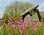


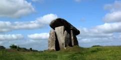
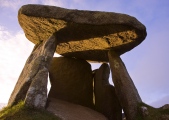


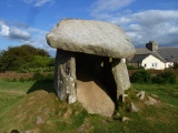
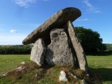

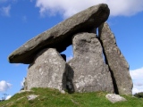
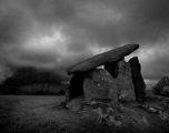

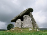
These are just the first 25 photos of Trethevy Quoit. If you log in with a free user account you will be able to see our entire collection.
Do not use the above information on other web sites or publications without permission of the contributor.
Click here to see more info for this site
Nearby sites
Key: Red: member's photo, Blue: 3rd party photo, Yellow: other image, Green: no photo - please go there and take one, Grey: site destroyed
Download sites to:
KML (Google Earth)
GPX (GPS waypoints)
CSV (Garmin/Navman)
CSV (Excel)
To unlock full downloads you need to sign up as a Contributory Member. Otherwise downloads are limited to 50 sites.
Turn off the page maps and other distractions
Nearby sites listing. In the following links * = Image available
1.2km WSW 242° St Cleer's Well* Holy Well or Sacred Spring (SX249683)
1.2km WSW 242° St Cleer Well Cross* Ancient Cross (SX249683)
1.4km WSW 238° Church of St Clarus* Early Christian Sculptured Stone (SX247681)
1.6km NNE 30° Caradon Hill stone row Stone Row / Alignment (SX26797016)
1.8km NNW 345° The Long Stone (Minions)* Standing Stone (Menhir) (SX25547055)
2.0km NNW 341° Minions Cairns Cairn (SX25357073)
2.3km NNE 32° Caradon Hill cairns* Barrow Cemetery (SX272707)
2.3km N 354° Minions Platform Round Barrow* Cairn (SX25787109)
2.3km N 360° Minions Mound* Round Barrow(s) (SX26017112)
2.3km W 269° King Doniert's Stone* Ancient Cross (SX23626885)
2.3km NNW 341° Minions Kerbed Cairn Cairn (SX25247103)
2.4km NNW 339° Minions Bronze Age round cairn. Cairn (SX25157103)
2.4km NNW 338° Trewalla Farm Settlement* Ancient Village or Settlement (SX25117106)
2.5km N 355° The Hurlers (S)* Stone Circle (SX25817133)
2.5km N 353° The Hurlers Pipers* Standing Stones (SX25717135)
2.6km NNW 340° Minions Round Cairns* Round Cairn (SX25157126)
2.6km N 356° The Hurlers (C)* Stone Circle (SX25827139)
2.6km N 356° The Hurlers* Stone Circle (SX25837140)
2.6km N 356° The Hurlers causeway* Ancient Trackway (SX25837142)
2.6km N 356° The Hurlers (N)* Stone Circle (SX25847145)
2.8km N 357° The Hurlers North* Stone Circle (SX25877159)
2.9km NW 321° Tregarrick Tor cairn* Chambered Cairn (SX24157115)
2.9km NW 322° Tregarrick Tor hillfort* Hillfort (SX242712)
3.1km N 355° The Hurlers Avenue* Multiple Stone Rows / Avenue (SX2576371864)
3.1km NNW 327° Craddock Moor Cairn Cemetery* Barrow Cemetery (SX2435071429)
View more nearby sites and additional images


 We would like to know more about this location. Please feel free to add a brief description and any relevant information in your own language.
 Wir möchten mehr über diese Stätte erfahren. Bitte zögern Sie nicht, eine kurze Beschreibung und relevante Informationen in Deutsch hinzuzufügen.
 Nous aimerions en savoir encore un peu sur les lieux. S'il vous plaît n'hesitez pas à ajouter une courte description et tous les renseignements pertinents dans votre propre langue.
 Quisieramos informarnos un poco más de las lugares. No dude en añadir una breve descripción y otros datos relevantes en su propio idioma.