<< Our Photo Pages >> Louden Hill circle - Stone Circle in England in Cornwall
Submitted by TheCaptain on Sunday, 15 March 2015 Page Views: 14977
Neolithic and Bronze AgeSite Name: Louden Hill circle Alternative Name: Louden Stone circle, Candra HillCountry: England County: Cornwall Type: Stone Circle
Nearest Town: Camelford Nearest Village: St Breward
Map Ref: SX13217950 Landranger Map Number: 200
Latitude: 50.585282N Longitude: 4.639991W
Condition:
| 5 | Perfect |
| 4 | Almost Perfect |
| 3 | Reasonable but with some damage |
| 2 | Ruined but still recognisable as an ancient site |
| 1 | Pretty much destroyed, possibly visible as crop marks |
| 0 | No data. |
| -1 | Completely destroyed |
| 5 | Superb |
| 4 | Good |
| 3 | Ordinary |
| 2 | Not Good |
| 1 | Awful |
| 0 | No data. |
| 5 | Can be driven to, probably with disabled access |
| 4 | Short walk on a footpath |
| 3 | Requiring a bit more of a walk |
| 2 | A long walk |
| 1 | In the middle of nowhere, a nightmare to find |
| 0 | No data. |
| 5 | co-ordinates taken by GPS or official recorded co-ordinates |
| 4 | co-ordinates scaled from a detailed map |
| 3 | co-ordinates scaled from a bad map |
| 2 | co-ordinates of the nearest village |
| 1 | co-ordinates of the nearest town |
| 0 | no data |
Internal Links:
External Links:
I have visited· I would like to visit
LiveAndrew visited on 26th Aug 2021 - their rating: Cond: 2 Access: 3
BolshieBoris visited on 1st Aug 1989 - their rating: Cond: 2 Amb: 3 Access: 3
lucasn visited - their rating: Cond: 2 Amb: 5 Access: 3
TheCaptain cazzyjane have visited here
Average ratings for this site from all visit loggers: Condition: 2 Ambience: 4 Access: 3

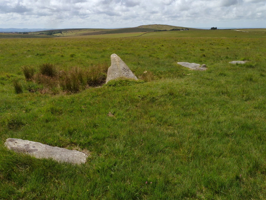
In fairly recent years a trackway (private vehicular access only) has been built across the moor from Middle Moor Cross to Fernacre Farm which makes both access to and finding of this circle much easier than it was. The circle is now just to the south of this track at about its highest point, and is easily seen by the one remaining standing stone.
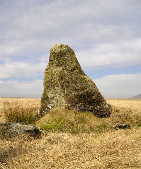
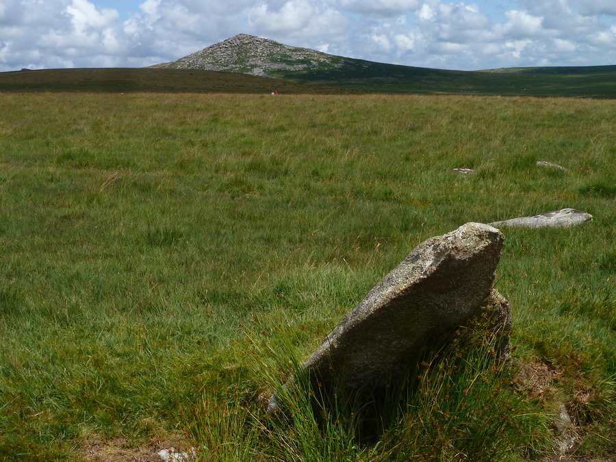
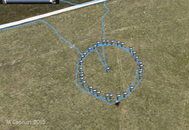
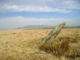
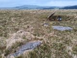
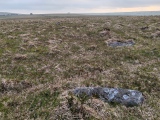
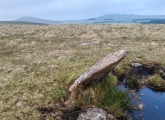
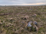
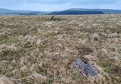
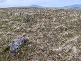
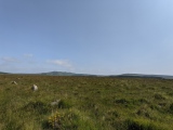
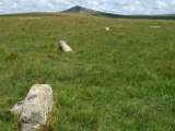
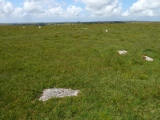
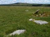
This standing stone at the southern edge of the circle is another of these Bodmin circles’ triangular slabs pointing skywards, but in this case is leaning significantly outwards. I counted remains of 21 stones, mostly flattened or stumps in the north or south arcs, and the circle has a diameter of about 45 metres.
National Monument 15287
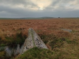
Note: Group work to carefully clean and re-expose stones at Louden Hill stone circle, see the latest photos and comments on our page. Pictured top is the stone they named 'Louden Man'
You may be viewing yesterday's version of this page. To see the most up to date information please register for a free account.







These are just the first 25 photos of Louden Hill circle. If you log in with a free user account you will be able to see our entire collection.
Do not use the above information on other web sites or publications without permission of the contributor.
Click here to see more info for this site
Nearby sites
Key: Red: member's photo, Blue: 3rd party photo, Yellow: other image, Green: no photo - please go there and take one, Grey: site destroyed
Download sites to:
KML (Google Earth)
GPX (GPS waypoints)
CSV (Garmin/Navman)
CSV (Excel)
To unlock full downloads you need to sign up as a Contributory Member. Otherwise downloads are limited to 50 sites.
Turn off the page maps and other distractions
Nearby sites listing. In the following links * = Image available
89m NNE 24° Louden Hill Cairn x* Cairn (SX13257958)
335m ENE 58° Louden Hill Cairn* Cairn (SX13507967)
346m NE 44° Louden Hill 3* Cairn (SX13467974)
375m ENE 59° Louden 1* Cairn (SX13547968)
378m N 10° Louden Hill chamber* Burial Chamber or Dolmen (SX13297987)
454m S 186° Candra Hill Cairns* Barrow Cemetery (SX13157905)
490m NW 319° Stannon cairn* Cairn (SX12907988)
500m N 357° Louden west* Ancient Village or Settlement (SX132800)
544m ENE 62° Louden menhirs* Standing Stones (SX13707974)
573m ENE 56° Louden south* Ancient Village or Settlement (SX137798)
630m ENE 65° Louden 2* Cairn (SX13797975)
647m NW 306° Stannon South* Ancient Village or Settlement (SX127799)
698m ENE 66° Louden Hill Cairn 2* Cairn (SX13867976)
707m ENE 66° Louden Hill Cists* Cairn (SX13877976)
729m WSW 251° Middle Moor Cross* Ancient Cross (SX12517929)
809m ENE 65° Louden Eastern Stones* Standing Stones (SX13967981)
823m NW 307° Stannon circle* Stone Circle (SX12578002)
901m NW 307° Stannon stone setting* Standing Stones (SX12518007)
924m W 275° Dinnever Hill Cairn* Cairn (SX12297961)
929m WSW 256° Middle Moor Cairn* Cairn (SX123793)
979m NE 34° Louden Hill Cairns* Cairn (SX13798029)
991m N 9° Stannon Quoit* Modern Stone Circle etc (SX1339280475)
1.0km NE 36° Louden Hill Long House* Ancient Village or Settlement (SX13848029)
1.0km NNE 14° Louden Hill 3 Ancient Village or Settlement (SX135805)
1.0km NE 39° Louden Hill Settlement* Ancient Village or Settlement (SX13908029)
View more nearby sites and additional images


 We would like to know more about this location. Please feel free to add a brief description and any relevant information in your own language.
 Wir möchten mehr über diese Stätte erfahren. Bitte zögern Sie nicht, eine kurze Beschreibung und relevante Informationen in Deutsch hinzuzufügen.
 Nous aimerions en savoir encore un peu sur les lieux. S'il vous plaît n'hesitez pas à ajouter une courte description et tous les renseignements pertinents dans votre propre langue.
 Quisieramos informarnos un poco más de las lugares. No dude en añadir una breve descripción y otros datos relevantes en su propio idioma.