<< Our Photo Pages >> King Arthur's Hall - Standing Stones in England in Cornwall
Submitted by Andy B on Wednesday, 06 November 2024 Page Views: 33774
Neolithic and Bronze AgeSite Name: King Arthur's HallCountry: England County: Cornwall Type: Standing Stones
Nearest Town: Bodmin Nearest Village: St. Breward
Map Ref: SX12977764 Landranger Map Number: 200
Latitude: 50.568496N Longitude: 4.642441W
Condition:
| 5 | Perfect |
| 4 | Almost Perfect |
| 3 | Reasonable but with some damage |
| 2 | Ruined but still recognisable as an ancient site |
| 1 | Pretty much destroyed, possibly visible as crop marks |
| 0 | No data. |
| -1 | Completely destroyed |
| 5 | Superb |
| 4 | Good |
| 3 | Ordinary |
| 2 | Not Good |
| 1 | Awful |
| 0 | No data. |
| 5 | Can be driven to, probably with disabled access |
| 4 | Short walk on a footpath |
| 3 | Requiring a bit more of a walk |
| 2 | A long walk |
| 1 | In the middle of nowhere, a nightmare to find |
| 0 | No data. |
| 5 | co-ordinates taken by GPS or official recorded co-ordinates |
| 4 | co-ordinates scaled from a detailed map |
| 3 | co-ordinates scaled from a bad map |
| 2 | co-ordinates of the nearest village |
| 1 | co-ordinates of the nearest town |
| 0 | no data |
Internal Links:
External Links:
I have visited· I would like to visit
tlcearth would like to visit
Catrinm visited on 13th Apr 2025 - their rating: Cond: 3 Amb: 4 Access: 4
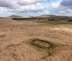
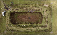
markj99 visited on 11th Sep 2022 - their rating: Cond: 3 Amb: 5 Access: 3 King Arthur's Hall is unique in my experience. It is one of the most unusual monuments I have ever visited. Henges and pounds are normally round. The isolated location amplifies the special vibe exuded by this exceptional place.
davep visited on 12th Jul 2022 - their rating: Cond: 4 Amb: 4 Access: 3
LiveAndrew visited on 2nd Sep 2021 - their rating: Cond: 4 Amb: 5 Access: 4
SandyG visited on 5th Sep 2019 - their rating: Cond: 4 Amb: 5 Access: 3
phlebas visited on 11th Apr 2019 - their rating: Cond: 3 Amb: 4 Access: 3
BolshieBoris visited on 1st Aug 1987 - their rating: Cond: 3 Amb: 4 Access: 3
lucasn visited - their rating: Cond: 4 Amb: 5 Access: 4
AngieLake TheCaptain cazzyjane have visited here
Average ratings for this site from all visit loggers: Condition: 3.5 Ambience: 4.5 Access: 3.38
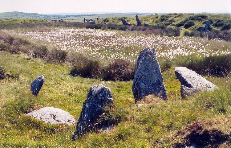
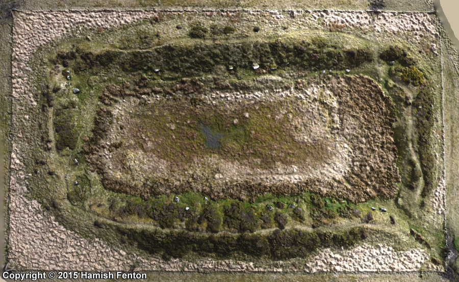
There had long been speculation the site dated back to pre-historic times because of its standing stones, but the a new survey confirmed this. Researchers working on behalf of the Cornwall Archaeological Unit (CAU) were joined by volunteers for the dig, which began in 2022.
Samples taken from the monument, including pollen, insects and parasite eggs, were radiocarbon dated, Historic England said. The results were combined with other dating techniques, such as Optically Stimulated Luminescence, to give a date of between 5,500 and 5,000 years ago.
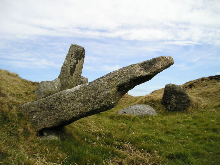
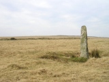
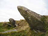
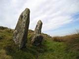
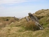
Geological examination of the standing stones suggested they came "from within 250m (820 feet) of the site and were possibly dug out from the interior rather than from a distant tor", Historic England said.
James Gossip, from the CAU, said the site had been used and upgraded at various times in its history, up to the medieval period.
"Knowing when King Arthur's Hall was built will help us understand this unique monument form better, how it might have originally been used and how it could have been used over time," he said.
He said the findings would help answer questions such as whether the stones were "placed there at the time of building or later in prehistory" and if the site was used "as an animal pound or reservoir".
More at BBC News: http://www.bbc.co.uk/news/articles/cj3mrryzr15o
Note: New dating confirms King Arthur's Hall prehistoric origin, as many of us suspected. This is amazing news but where's the credit for the amateur researchers who kicked this off and pushed for the dating to be funded? More at the Archaeology in Cornwall conference this Saturday 9th Nov, details in the comments on our page
You may be viewing yesterday's version of this page. To see the most up to date information please register for a free account.




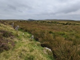
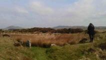
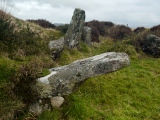
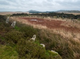


These are just the first 25 photos of King Arthur's Hall. If you log in with a free user account you will be able to see our entire collection.
Do not use the above information on other web sites or publications without permission of the contributor.
Click here to see more info for this site
Nearby sites
Key: Red: member's photo, Blue: 3rd party photo, Yellow: other image, Green: no photo - please go there and take one, Grey: site destroyed
Download sites to:
KML (Google Earth)
GPX (GPS waypoints)
CSV (Garmin/Navman)
CSV (Excel)
To unlock full downloads you need to sign up as a Contributory Member. Otherwise downloads are limited to 50 sites.
Turn off the page maps and other distractions
Nearby sites listing. In the following links * = Image available
164m W 269° King Arthur's Downs Cross* Ancient Cross (SX1280677643)
468m NW 308° Casehill Cairn* Cairn (SX12617794)
515m ESE 103° King Arthur's Down NW* Stone Circle (SX13477751)
537m ESE 103° King Arthur's Down SE* Stone Circle (SX13497750)
653m SSE 167° Leaze Cist* Cist (SX131770)
712m E 99° Emblance Down stone row* Stone Row / Alignment (SX13677750)
781m ESE 115° Leaze stone circle* Stone Circle (SX13677729)
809m SSE 154° Leaze Hut Circle* Ancient Village or Settlement (SX133769)
818m ESE 110° Leaze cairn* Cairn (SX13737733)
857m SSW 199° Bolatherick* Standing Stone (Menhir) (SX12667684)
1.0km S 176° Emblance Downs Hut Circle* Ancient Village or Settlement (SX130766)
1.2km SSW 206° Whiteheads Standing Stone* Standing Stone (Menhir) (SX1241976611)
1.2km SSE 167° Ivey Clapper Bridge* Ancient Trackway (SX1318776490)
1.3km SSW 205° Whiteheads Cist* Cist (SX12377649)
1.4km WNW 290° Treswallock Downs - Bronze Age cairn cemetery* Barrow Cemetery (SX11717816)
1.4km N 5° Candra Hill Cairns* Barrow Cemetery (SX13157905)
1.5km SE 139° Carkees Tor* Ancient Village or Settlement (SX139765)
1.5km SSW 204° Whiteheads Settlement Ancient Village or Settlement (SX123763)
1.6km ENE 75° Garrow Tor* Ancient Village or Settlement (SX145780)
1.6km SSE 166° Carkees Down Long House* Ancient Village or Settlement (SX133761)
1.6km NW 312° Alex Tor Kerbed Cairn* Cairn (SX11827873)
1.7km ENE 61° Propped stones on Garrow Tor* Natural Stone / Erratic / Other Natural Feature (SX145784)
1.7km NNW 342° Middle Moor Cross* Ancient Cross (SX12517929)
1.7km S 184° Carbilly Farmstead Ancient Village or Settlement (SX128759)
1.8km NNW 336° Middle Moor Cairn* Cairn (SX123793)
View more nearby sites and additional images


 We would like to know more about this location. Please feel free to add a brief description and any relevant information in your own language.
 Wir möchten mehr über diese Stätte erfahren. Bitte zögern Sie nicht, eine kurze Beschreibung und relevante Informationen in Deutsch hinzuzufügen.
 Nous aimerions en savoir encore un peu sur les lieux. S'il vous plaît n'hesitez pas à ajouter une courte description et tous les renseignements pertinents dans votre propre langue.
 Quisieramos informarnos un poco más de las lugares. No dude en añadir una breve descripción y otros datos relevantes en su propio idioma.