<< Our Photo Pages >> Prideaux Camp - Hillfort in England in Cornwall
Submitted by MikeAitch on Friday, 16 April 2010 Page Views: 10589
Iron Age and Later PrehistorySite Name: Prideaux Camp Alternative Name: Prideaux Rings, Prideaux Hillfort, Prideaux CastleCountry: England County: Cornwall Type: Hillfort
Nearest Town: Saint Austell Nearest Village: Prideaux
Map Ref: SX059556
Latitude: 50.368208N Longitude: 4.730723W
Condition:
| 5 | Perfect |
| 4 | Almost Perfect |
| 3 | Reasonable but with some damage |
| 2 | Ruined but still recognisable as an ancient site |
| 1 | Pretty much destroyed, possibly visible as crop marks |
| 0 | No data. |
| -1 | Completely destroyed |
| 5 | Superb |
| 4 | Good |
| 3 | Ordinary |
| 2 | Not Good |
| 1 | Awful |
| 0 | No data. |
| 5 | Can be driven to, probably with disabled access |
| 4 | Short walk on a footpath |
| 3 | Requiring a bit more of a walk |
| 2 | A long walk |
| 1 | In the middle of nowhere, a nightmare to find |
| 0 | No data. |
| 5 | co-ordinates taken by GPS or official recorded co-ordinates |
| 4 | co-ordinates scaled from a detailed map |
| 3 | co-ordinates scaled from a bad map |
| 2 | co-ordinates of the nearest village |
| 1 | co-ordinates of the nearest town |
| 0 | no data |
Internal Links:
External Links:
I have visited· I would like to visit
Talbotwoods would like to visit
lauriemayes visited on 28th Jul 2024 - their rating: Cond: 2 Amb: 3 This place appears to be private land with no public access, there is a footpath which goes quite close but I had to cross a barbed wire fence for the final approach & there are private land no trespassing signs. My visit was brief.
mikeaitch have visited here

It can be reached across farmland from the Saints’ Way footpath (ancient trade route) which passes just west of the site, the eastern side of the hillfort is woodland. Livestock graze the land, but luckily it was clear when we visited.
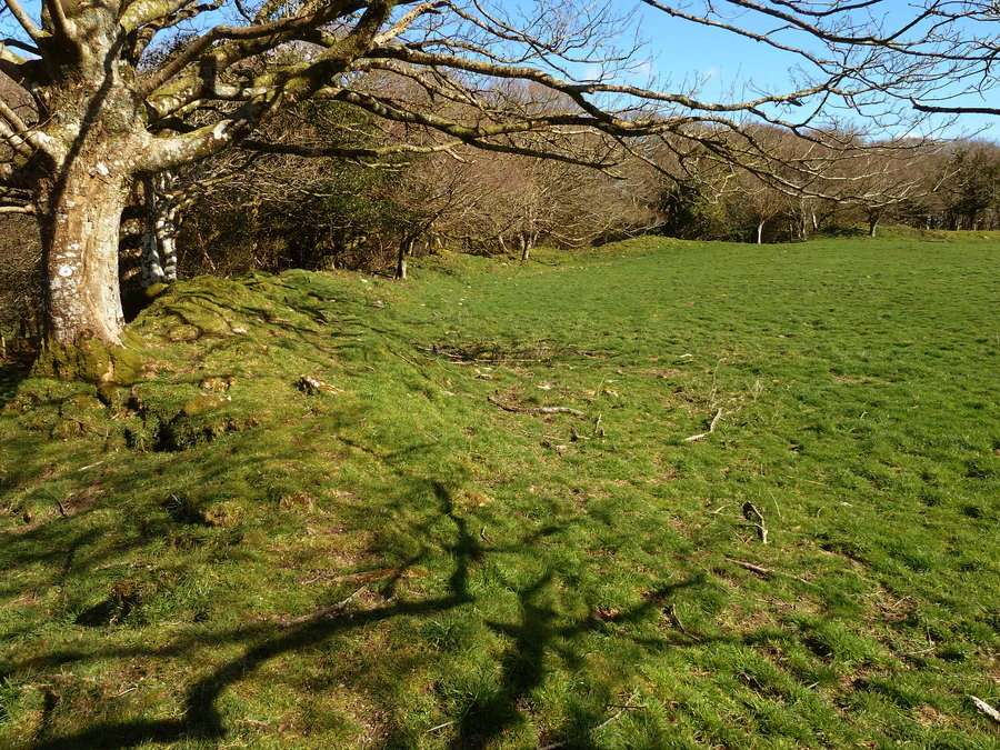
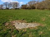
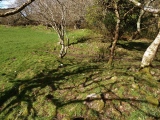
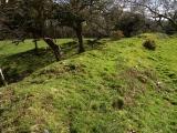
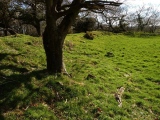
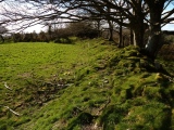
The hillfort is approximately 100m in diameter and almost circular in shape. English Heritage lists the site as having 3 banks and ditch although I counted 4 still visible in places (as do other resources). The inner ramparts are the most clearly defined although overgrown with trees; however the stone, rubble and earth banks are suffering severe erosion in many places from livestock, farm vehicles and the elements.
English Heritage has a good b&w aerial photo here, Historic-Cornwall.org has a more recent clickable colour aerial shot here, and further info can be found on the Prideaux wiki page here. Prideaux is a peaceful site just 1 mile NE from the Eden Project if you’re planning a visit to this part of Cornwall.
You may be viewing yesterday's version of this page. To see the most up to date information please register for a free account.


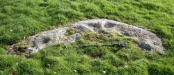
These are just the first 25 photos of Prideaux Camp. If you log in with a free user account you will be able to see our entire collection.
Do not use the above information on other web sites or publications without permission of the contributor.
Click here to see more info for this site
Nearby sites
Key: Red: member's photo, Blue: 3rd party photo, Yellow: other image, Green: no photo - please go there and take one, Grey: site destroyed
Download sites to:
KML (Google Earth)
GPX (GPS waypoints)
CSV (Garmin/Navman)
CSV (Excel)
To unlock full downloads you need to sign up as a Contributory Member. Otherwise downloads are limited to 50 sites.
Turn off the page maps and other distractions
Nearby sites listing. In the following links * = Image available
2.5km NNW 346° St Cyors's Well* Holy Well or Sacred Spring (SX054580)
2.6km NNW 342° Luxulyan Cross* Ancient Cross (SX05185806)
2.6km WSW 257° Carn Grey* Rock Outcrop (SX033551)
2.7km WSW 243° Menear* Standing Stone (Menhir) (SX0345154469)
3.3km NNW 338° Luxulyan stones* Natural Stone / Erratic / Other Natural Feature (SX0474658699)
3.5km NNE 22° Trethew Cross* Ancient Cross (SX07355881)
3.9km NNE 27° St Bryvyth's Well* Holy Well or Sacred Spring (SX078590)
4.2km W 280° Caerloggas Down longstone* Modern Stone Circle etc (SX0174756485)
4.3km W 280° Caerloggas Barrow III Timber Circle (SX017565)
4.3km W 280° Caerloggas Barrow I Timber Circle (SX017565)
4.3km W 278° Caerloggas Down Circle* Modern Stone Circle etc (SX01635635)
4.5km E 98° Castle Dore* Hillfort (SX1034454824)
4.5km SW 218° Gwallon Longstone* Standing Stone (Menhir) (SX02965212)
4.6km NE 38° Pelyn Cross* Ancient Cross (SX089591)
5.2km WSW 241° Menacuddle* Holy Well or Sacred Spring (SX0118753260)
5.3km SE 134° Tregaminion Crosses* Ancient Cross (SX096518)
5.5km SW 232° The Mengu Stone* Marker Stone (SX014524)
6.1km N 0° Helman Tor* Causewayed Enclosure (SX06166166)
6.2km E 93° St Samson's Well (Golant)* Holy Well or Sacred Spring (SX121551)
6.4km ESE 121° Tristan Stone* Early Christian Sculptured Stone (SX1123252117)
6.5km WNW 285° Hensbarrow* Round Barrow(s) (SW99685754)
6.8km SSW 206° Castle Gotha* Ancient Village or Settlement (SX027496)
7.1km N 4° Lesquite Cross* Ancient Cross (SX06666269)
7.3km N 7° Lesquite Quoit* Burial Chamber or Dolmen (SX07076276)
7.3km N 359° Fenton Pits Cross* Ancient Cross (SX061629)
View more nearby sites and additional images


 We would like to know more about this location. Please feel free to add a brief description and any relevant information in your own language.
 Wir möchten mehr über diese Stätte erfahren. Bitte zögern Sie nicht, eine kurze Beschreibung und relevante Informationen in Deutsch hinzuzufügen.
 Nous aimerions en savoir encore un peu sur les lieux. S'il vous plaît n'hesitez pas à ajouter une courte description et tous les renseignements pertinents dans votre propre langue.
 Quisieramos informarnos un poco más de las lugares. No dude en añadir una breve descripción y otros datos relevantes en su propio idioma.