<< Our Photo Pages >> Piskey’s Hall – The Fairy’s Fogou - Souterrain (Fogou, Earth House) in England in Cornwall
Submitted by AandE on Wednesday, 06 November 2013 Page Views: 21292
Iron Age and Later PrehistorySite Name: Piskey’s Hall – The Fairy’s Fogou Alternative Name: TrewardrevaCountry: England County: Cornwall Type: Souterrain (Fogou, Earth House)
Map Ref: SW72803003 Landranger Map Number: 204
Latitude: 50.126752N Longitude: 5.180121W
Condition:
| 5 | Perfect |
| 4 | Almost Perfect |
| 3 | Reasonable but with some damage |
| 2 | Ruined but still recognisable as an ancient site |
| 1 | Pretty much destroyed, possibly visible as crop marks |
| 0 | No data. |
| -1 | Completely destroyed |
| 5 | Superb |
| 4 | Good |
| 3 | Ordinary |
| 2 | Not Good |
| 1 | Awful |
| 0 | No data. |
| 5 | Can be driven to, probably with disabled access |
| 4 | Short walk on a footpath |
| 3 | Requiring a bit more of a walk |
| 2 | A long walk |
| 1 | In the middle of nowhere, a nightmare to find |
| 0 | No data. |
| 5 | co-ordinates taken by GPS or official recorded co-ordinates |
| 4 | co-ordinates scaled from a detailed map |
| 3 | co-ordinates scaled from a bad map |
| 2 | co-ordinates of the nearest village |
| 1 | co-ordinates of the nearest town |
| 0 | no data |
Internal Links:
External Links:
I have visited· I would like to visit
wirelessbone micske would like to visit
Catrinm visited on 22nd Mar 2024 - their rating: Cond: 3 Amb: 4 Access: 4 At last , got in to the fog without the cows blocking the way this time!
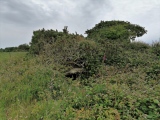
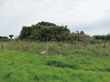
TheCaptain visited on 16th Jun 2022 - their rating: Cond: 3 Amb: 3 Access: 4 I want to stop for my pasty at the Piskeys Hall fogou, but it takes me several attempts to find it, and only then I have to climb over a gate into a thankfully empty field, but see nothing like any of the pictures I have seen. It must be over by the far edge of the field somewhere, but there's nothing obvious, just a very overgrown clump. Its all very overgrown, and at first I cannot find anything to see, but then I do see a stone lined entrance amongst the gorse and brambles which I am just about able to get to. Yes, I have found the main structure and am able to get down into it. This one seems more like a large entrance grave than the other fogous I have seen, but who am I to argue.
Catrinm visited on 10th Jul 2020 - their rating: Access: 3 After ages of hunting - did not quite get to it - field of cows and a bull blocking way.
lucasn visited on 14th Aug 2018 - their rating: Cond: 4 Amb: 3 Access: 4
ajmp3003 visited on 1st Apr 2016 - their rating: Cond: 3 Amb: 3 Access: 1 In the corner of a meadow, a sign on the gate: Beware off the bull. Fortunately the bull was not there when we visited.
Adamai visited on 13th Jan 2013 - their rating: Cond: 4 Amb: 4 Access: 4
coin Bladup have visited here
Average ratings for this site from all visit loggers: Condition: 3.4 Ambience: 3.4 Access: 3.33
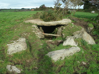
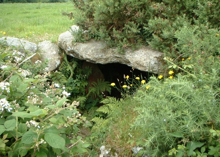
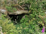
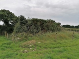
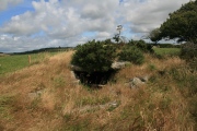
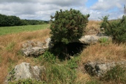
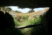
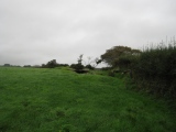
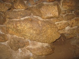
A slight, green lump in a pasture of tall, wet grass. As we got closer we saw the huge stone that formed the front of the roof. Closer still and we walked up the gentle slope of the roof and peered through the spiky round bushes above.
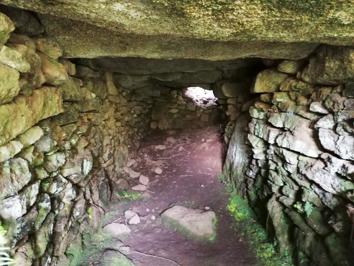
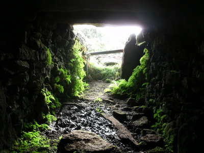
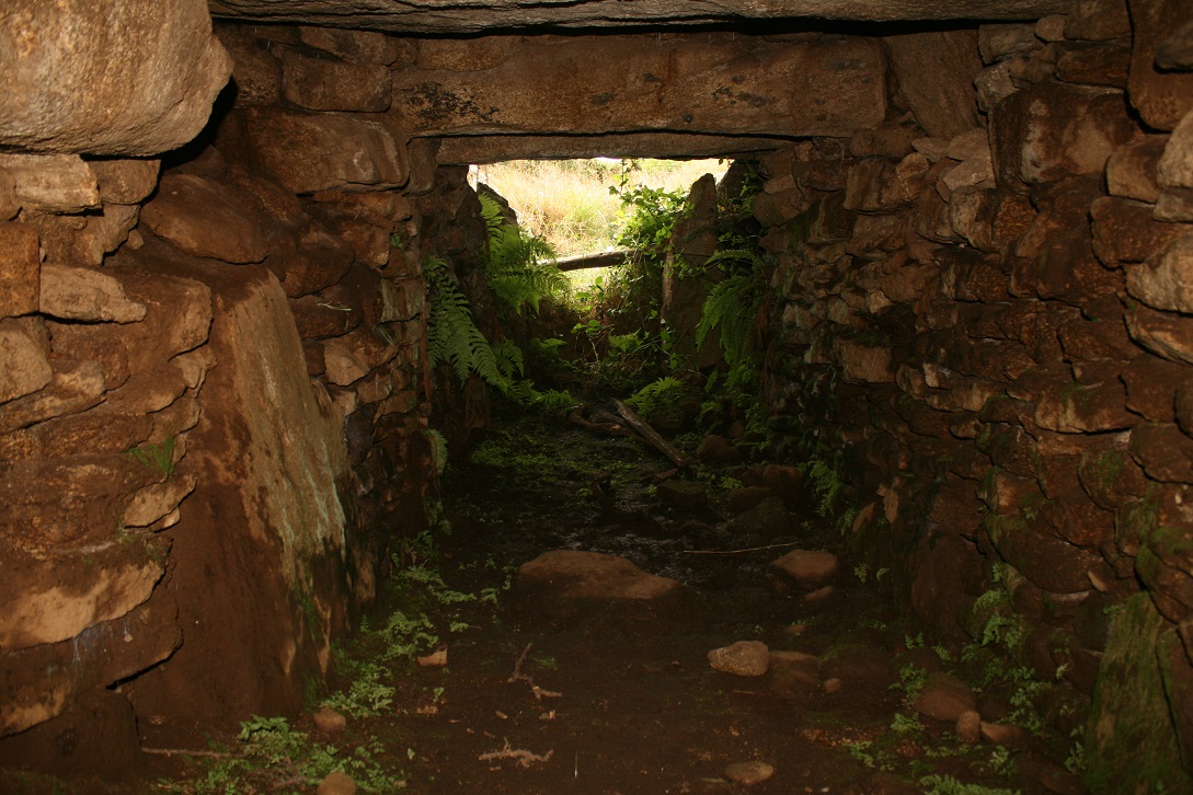
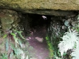
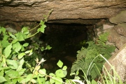
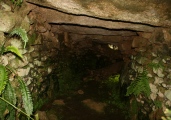
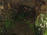
A dark hole, jagged and cobwebbed. Pushing the branches aside we drop down into the entrance space. The air from our mouths steaming as we slowly edged forwards. Our eyes began to adjust to the darkness in front, making out shapes and colours.
The familiar musky, earthy smell overwhelmed us. It got into our nostrils, eyes, hair and our clothing. Sweet but dirty, we sniffed the air as we crept forwards, the inside now fully being shown to our eyes.
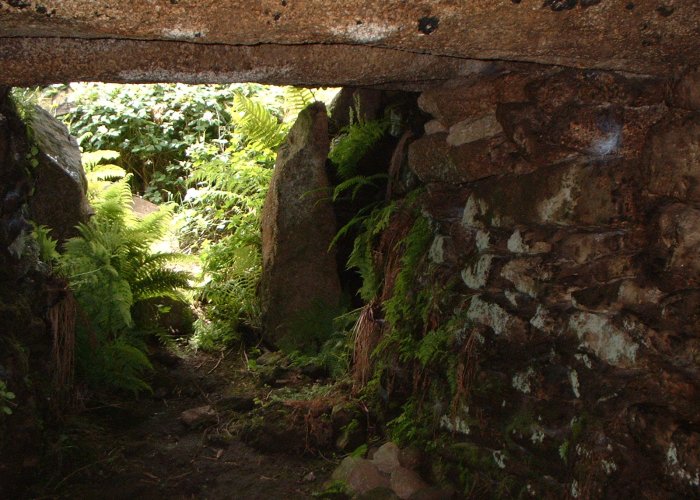
A shaft of light 8 meters away at the far end. This was all we needed to guide us down. Shuffling respectfully, completely aware of every sensation, we slowly made our way down inside this most sacred of chambers. And then we were there. Inside the fogou, as deep as we could possibly go. Calm, almost unbearable silence. For hundreds, thousands of years, this structure had held firm. The magic inside never fully draining away, still lingering for those that sought it. Time past unnoticed.
And then it was time to leave. A careful turn around, once more palming the moist walls, feeling the clammy cold of the stone. We were almost out when we made the stupid mistake. One thing to remember in a fogou, and take these words to heart my friends – NEVER look up! Those spiders meant our exit was not as graceful and respectful as our entrance. Oh, how we ran! Out into the sun, out onto the grass. We feel down as a heap onto the grass below, still wet with dew. Piskey your hall is truly magical! Thank you for our stay!
You may be viewing yesterday's version of this page. To see the most up to date information please register for a free account.



These are just the first 25 photos of Piskey’s Hall – The Fairy’s Fogou. If you log in with a free user account you will be able to see our entire collection.
Do not use the above information on other web sites or publications without permission of the contributor.
Click here to see more info for this site
Nearby sites
Key: Red: member's photo, Blue: 3rd party photo, Yellow: other image, Green: no photo - please go there and take one, Grey: site destroyed
Download sites to:
KML (Google Earth)
GPX (GPS waypoints)
CSV (Garmin/Navman)
CSV (Excel)
To unlock full downloads you need to sign up as a Contributory Member. Otherwise downloads are limited to 50 sites.
Turn off the page maps and other distractions
Nearby sites listing. In the following links * = Image available
1.1km SSE 152° Tolmen Stone (Constantine) Burial Chamber or Dolmen (SW7326429059)
1.6km NNE 23° The Maen rock (Constantine)* Natural Stone / Erratic / Other Natural Feature (SW735315)
1.6km NNW 332° Trevease Cross* Ancient Cross (SW7208631514)
2.2km NE 52° Eathorne Menhir* Standing Stone (Menhir) (SW746313)
2.5km WSW 252° Merther Euny* Holy Well or Sacred Spring (SW70422939)
2.8km ENE 58° Helland House Ancient Cornish Cross* Ancient Cross (SW752314)
3.2km SW 221° Tolvan* Holed Stone (SW70622770)
3.2km NE 48° Lower Spargo* Standing Stone (Menhir) (SW753321)
3.7km W 281° Beacon Hut* Chambered Cairn (SW692309)
3.7km WNW 293° Trewavas Round* Ancient Village or Settlement (SW69433166)
3.8km NE 47° Mabe Church* Standing Stone (Menhir) (SW757325)
4.7km WNW 287° Mortar outcrop at Poldark Mine* Rock Outcrop (SW6833931568)
5.1km W 279° Wendron Church Cornish Crosses* Ancient Cross (SW678310)
5.3km S 185° Gear Round (Helston)* Hillfort (SW7209324805)
5.3km WSW 251° St Wendronas* Holy Well or Sacred Spring (SW677285)
5.4km NNW 346° Stithians Cupmarked Stones* Rock Art (SW71713536)
5.5km NNW 338° Mt Wise Farm* Standing Stone (Menhir) (SW7092535175)
5.5km S 179° Caervallack Fort* Hillfort (SW7261624555)
5.5km S 178° Caervallack Holy Well Holy Well or Sacred Spring (SW7279724512)
5.6km SSW 200° Mawgan in Meneage* Standing Stone (Menhir) (SW7071524869)
5.9km WSW 246° Crasken Round Ancient Village or Settlement (SW67262786)
6.0km NNE 13° Trevales House Cross* Ancient Cross (SW74443582)
6.1km N 359° Tretheague Ancient Cross* Ancient Cross (SW729361)
6.2km NNW 333° Carnmenellis Crosses* Ancient Cross (SW70233567)
6.2km SE 143° Manaccan Well* Holy Well or Sacred Spring (SW763249)
View more nearby sites and additional images


 We would like to know more about this location. Please feel free to add a brief description and any relevant information in your own language.
 Wir möchten mehr über diese Stätte erfahren. Bitte zögern Sie nicht, eine kurze Beschreibung und relevante Informationen in Deutsch hinzuzufügen.
 Nous aimerions en savoir encore un peu sur les lieux. S'il vous plaît n'hesitez pas à ajouter une courte description et tous les renseignements pertinents dans votre propre langue.
 Quisieramos informarnos un poco más de las lugares. No dude en añadir una breve descripción y otros datos relevantes en su propio idioma.