<< Our Photo Pages >> Coetan Arthur Dolmen - Chambered Tomb in Wales in Pembrokeshire
Submitted by Johnny on Sunday, 29 September 2002 Page Views: 20620
Neolithic and Bronze AgeSite Name: Coetan Arthur DolmenCountry: Wales County: Pembrokeshire Type: Chambered Tomb
Nearest Town: St David's
Map Ref: SM72532806 Landranger Map Number: 157
Latitude: 51.904517N Longitude: 5.308165W
Condition:
| 5 | Perfect |
| 4 | Almost Perfect |
| 3 | Reasonable but with some damage |
| 2 | Ruined but still recognisable as an ancient site |
| 1 | Pretty much destroyed, possibly visible as crop marks |
| 0 | No data. |
| -1 | Completely destroyed |
| 5 | Superb |
| 4 | Good |
| 3 | Ordinary |
| 2 | Not Good |
| 1 | Awful |
| 0 | No data. |
| 5 | Can be driven to, probably with disabled access |
| 4 | Short walk on a footpath |
| 3 | Requiring a bit more of a walk |
| 2 | A long walk |
| 1 | In the middle of nowhere, a nightmare to find |
| 0 | No data. |
| 5 | co-ordinates taken by GPS or official recorded co-ordinates |
| 4 | co-ordinates scaled from a detailed map |
| 3 | co-ordinates scaled from a bad map |
| 2 | co-ordinates of the nearest village |
| 1 | co-ordinates of the nearest town |
| 0 | no data |
Internal Links:
External Links:
I have visited· I would like to visit
43559959 radrad KieKa would like to visit
Couplands visited on 2nd Sep 2022 - their rating: Cond: 3 Amb: 5 Access: 3
Richard13 visited on 1st Jul 2020 - their rating: Cond: 3 Amb: 5 Access: 3
ChrisHealey visited on 16th Sep 2017 - their rating: Cond: 3 Amb: 3 Access: 3
trystan_hughes visited on 26th May 2015 - their rating: Cond: 4 Amb: 5 Access: 3
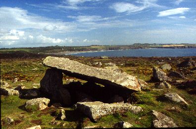
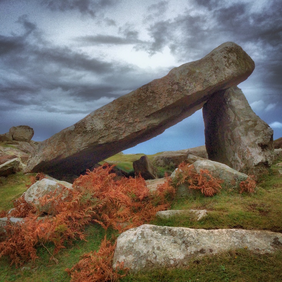
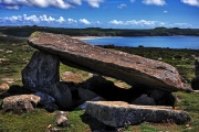
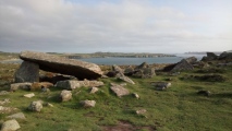
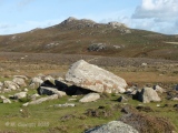
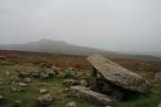
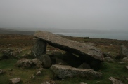
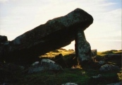
markj99 visited on 27th Jul 2014 - their rating: Cond: 3 Amb: 5 Access: 3 Coetan Arthur Dolmen is in a superb coastal setting on St David's Head. The dolmen is perfectly proportioned. The capstone lies at a pleasing 20 degrees angle from horizontal.
This site is just picture perfect.
woodini254 visited on 6th Jun 2012 - their rating: Cond: 4 Amb: 4 Access: 2 Directions
Follow the Pembrokeshire Coastal footpath north from the car park at Whitesands Bay towards St Davids Head for about 1.75Km. The capstone can be clearly seen from the path.
Description
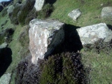
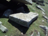
The monument is of the earth fast sub megalithic type and consists of a capstone measuring 3.6m by 2.5m and is supported by a single upright measuring 1.8m. Two further uprights have been identified lying beneath the capstone suggesting that this was a collapsed conventional form of chamber. The nearest comparison is the Kings Quoit at Manorbeir.
TheCaptain DrewParsons PAB paulcall sem Linanjohn MartinRS have visited here
Average ratings for this site from all visit loggers: Condition: 3.33 Ambience: 4.5 Access: 2.83
Additional information submitted by Drew Parsons in September 2010:
To reach the site walk north along the coastal trail from Porth Mawr (Whitesands Bay) car park and around 100 metres after the track turns west above the third bay (Porth Melgan) look for a narrow, steep, side trail which heads north up the slope of the hill - this will lead you directly to the site. You need to look carefully for Coetan Arthur as there are lots of rocks laying around the area. I approached the site from St David's Head and it was quite hard to find from that direction. The Coflein site is at: https://www.coflein.gov.uk/en/site/305375
Note: Another chambered tomb known as Coetan Arthur was once located at SN007361, but was destroyed in 1844.
You may be viewing yesterday's version of this page. To see the most up to date information please register for a free account.







These are just the first 25 photos of Coetan Arthur Dolmen. If you log in with a free user account you will be able to see our entire collection.
Do not use the above information on other web sites or publications without permission of the contributor.
Click here to see more info for this site
Nearby sites
Key: Red: member's photo, Blue: 3rd party photo, Yellow: other image, Green: no photo - please go there and take one, Grey: site destroyed
Download sites to:
KML (Google Earth)
GPX (GPS waypoints)
CSV (Garmin/Navman)
CSV (Excel)
To unlock full downloads you need to sign up as a Contributory Member. Otherwise downloads are limited to 50 sites.
Turn off the page maps and other distractions
Nearby sites listing. In the following links * = Image available
279m SW 233° St David's Head* Hillfort (SM723279)
448m ENE 66° St.David's Head* Stone Row / Alignment (SM72952822)
990m E 97° Carn Llidi* Chambered Tomb (SM73512790)
1.1km SE 142° Whitesands Bay Submerged Forest Not Known (by us) (SM7320227125)
1.6km ESE 121° Ffynnon Faiddog Holy Well or Sacred Spring (SM73842720)
2.2km SSE 163° Trelyddan Well Holy Well or Sacred Spring (SM731259)
2.7km S 181° St Justinians North* Standing Stone (Menhir) (SM7237625371)
2.8km S 177° St Justinians East* Standing Stone (Menhir) (SM7252725278)
2.8km S 169° Rhosson Well Holy Well or Sacred Spring (SM72932526)
2.8km S 180° St Justinian's Well* Holy Well or Sacred Spring (SM72402522)
3.2km SSE 155° Clegyr Boia* Hillfort (SM73732509)
3.2km ESE 118° Trefarchan* Standing Stone (Menhir) (SM7531126407)
3.2km SSE 158° Ffynnon Llygaid (Great Orme) Holy Well or Sacred Spring (SM736250)
3.4km S 180° Castell Henif* Promontory Fort / Cliff Castle (SM72362469)
3.8km SE 133° St David's Cathedral* Ancient Cross (SM75202536)
3.8km SE 130° Ffynnon-Y-Cwcwll Holy Well or Sacred Spring (SM7533725498)
4.1km SSE 158° Porth Clais well* Holy Well or Sacred Spring (SM739242)
4.1km SE 130° Cocyn Round* Misc. Earthwork (SM7559325258)
4.2km SE 130° Pembrokeshire National Park Visitors Centre* Museum (SM756252)
4.3km SSW 214° Carn Ysgubor Cairn (SM69992460)
4.4km SSW 208° Ramsay Monolith* Modern Stone Circle etc (SM70302428)
4.5km SE 143° St Non's Well (Pembrokeshire)* Holy Well or Sacred Spring (SM75102437)
4.5km SE 143° St Non's Chapel* Early Christian Sculptured Stone (SM7507524345)
4.5km S 187° Lower Treginnis Cairn (SM718236)
4.7km ESE 117° Trecenny Stone* Standing Stone (Menhir) (SM7665725755)
View more nearby sites and additional images


 We would like to know more about this location. Please feel free to add a brief description and any relevant information in your own language.
 Wir möchten mehr über diese Stätte erfahren. Bitte zögern Sie nicht, eine kurze Beschreibung und relevante Informationen in Deutsch hinzuzufügen.
 Nous aimerions en savoir encore un peu sur les lieux. S'il vous plaît n'hesitez pas à ajouter une courte description et tous les renseignements pertinents dans votre propre langue.
 Quisieramos informarnos un poco más de las lugares. No dude en añadir una breve descripción y otros datos relevantes en su propio idioma.