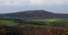
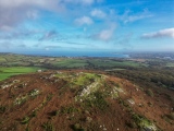
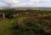
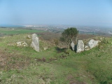
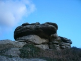
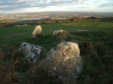
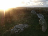
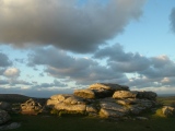
<< Our Photo Pages >> Trencrom - Hillfort in England in Cornwall
Submitted by Bladup on Friday, 22 April 2022 Page Views: 19083
Iron Age and Later PrehistorySite Name: Trencrom Alternative Name: TrecobbenCountry: England County: Cornwall Type: Hillfort
Nearest Town: St Ives Nearest Village: Lelant Downs
Map Ref: SW51803622 Landranger Map Number: 203
Latitude: 50.173908N Longitude: 5.477417W
Condition:
| 5 | Perfect |
| 4 | Almost Perfect |
| 3 | Reasonable but with some damage |
| 2 | Ruined but still recognisable as an ancient site |
| 1 | Pretty much destroyed, possibly visible as crop marks |
| 0 | No data. |
| -1 | Completely destroyed |
| 5 | Superb |
| 4 | Good |
| 3 | Ordinary |
| 2 | Not Good |
| 1 | Awful |
| 0 | No data. |
| 5 | Can be driven to, probably with disabled access |
| 4 | Short walk on a footpath |
| 3 | Requiring a bit more of a walk |
| 2 | A long walk |
| 1 | In the middle of nowhere, a nightmare to find |
| 0 | No data. |
| 5 | co-ordinates taken by GPS or official recorded co-ordinates |
| 4 | co-ordinates scaled from a detailed map |
| 3 | co-ordinates scaled from a bad map |
| 2 | co-ordinates of the nearest village |
| 1 | co-ordinates of the nearest town |
| 0 | no data |
Internal Links:
External Links:
I have visited· I would like to visit
micske visited on 1st Nov 2022 - their rating: Cond: 3 Amb: 4 Access: 4
lucasn visited on 10th Apr 2019 - their rating: Cond: 4 Amb: 4 Access: 4
LiveAndrew Bladup h_fenton AngieLake JimChampion ocifant cazzyjane have visited here
Average ratings for this site from all visit loggers: Condition: 3.5 Ambience: 4 Access: 4
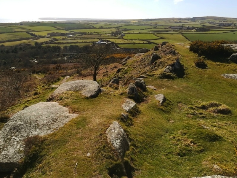
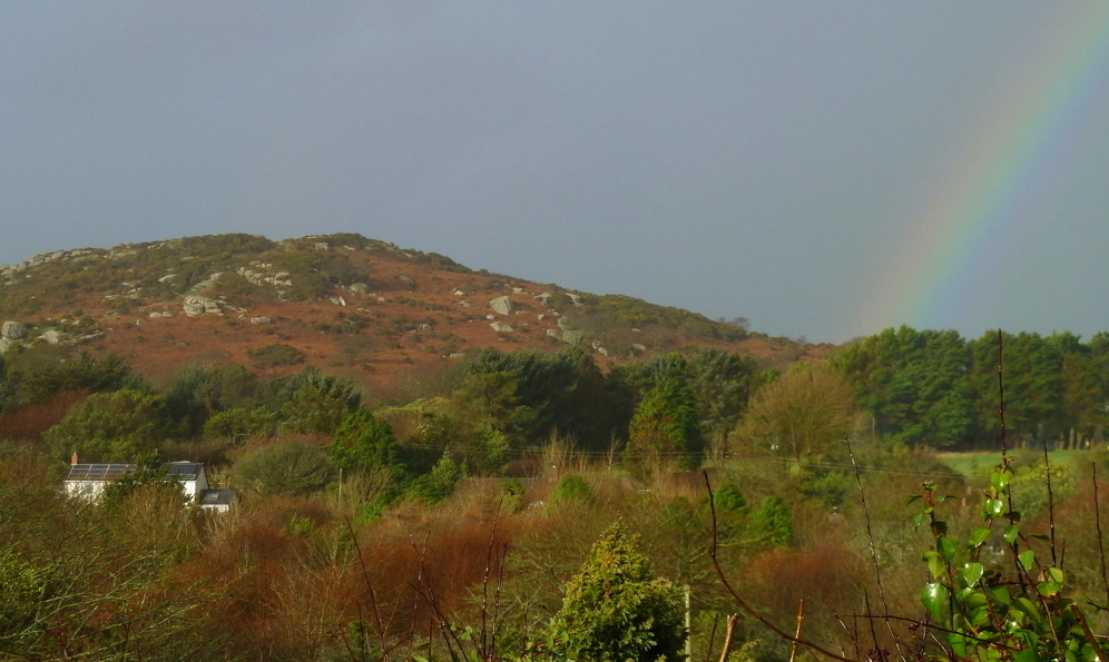
The position is notable because it is one of the few places in Britain where the sun both rises from and sets into the sea. Situated on the northeastern edge of the West Penwith granite massif.
Source: The Early Neolithic Tor Enclosures of Southwest Britain, Simon R. Davies
The University of Birmingham Ph.D Thesis (PDF)
Page originally by Vicky
Note: Dozens of new photos of this fascinating site
You may be viewing yesterday's version of this page. To see the most up to date information please register for a free account.




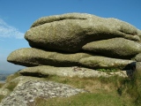
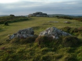
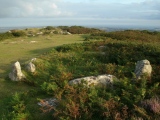

These are just the first 25 photos of Trencrom. If you log in with a free user account you will be able to see our entire collection.
Do not use the above information on other web sites or publications without permission of the contributor.
Click here to see more info for this site
Nearby sites
Key: Red: member's photo, Blue: 3rd party photo, Yellow: other image, Green: no photo - please go there and take one, Grey: site destroyed
Download sites to:
KML (Google Earth)
GPX (GPS waypoints)
CSV (Garmin/Navman)
CSV (Excel)
To unlock full downloads you need to sign up as a Contributory Member. Otherwise downloads are limited to 50 sites.
Turn off the page maps and other distractions
Nearby sites listing. In the following links * = Image available
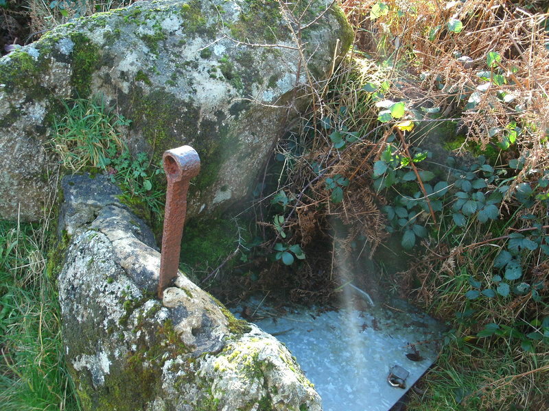
85m WNW 288° Trencrom Castle Well* Holy Well or Sacred Spring (SW51723625)
215m ENE 65° Giant's Well (Trencrom)* Holy Well or Sacred Spring (SW520363)
692m NE 43° The Bowl Rock* Rock Outcrop (SW523367)
722m SW 227° Ninnesbridge Barrow Cemetery* Barrow Cemetery (SW51253575)
1.1km NNE 24° Trevarrack Round* Ancient Village or Settlement (SW523372)
1.2km NE 36° Beersheeba* Standing Stone (Menhir) (SW5251637128)
1.4km WSW 243° Trembethow barrows Barrow Cemetery (SW50513564)
1.4km WNW 291° Cripplesease Settlement* Ancient Village or Settlement (SW505368)
1.4km WSW 259° Brunnion Cross* Ancient Cross (SW50373600)
1.6km SSE 159° Collurian Well Holy Well or Sacred Spring (SW523347)
1.6km WNW 300° Trink Hill* Round Barrow(s) (SW504371)
1.8km W 272° Cuckoo Rock (Cornwall)* Rock Outcrop (SW50003638)
1.8km WNW 296° Giew Mine* Standing Stone (Menhir) (SW502371)
1.8km S 176° Tregellas Well* Holy Well or Sacred Spring (SW5183734388)
2.0km SSE 157° Whitecross (Penwith)* Ancient Cross (SW5248534390)
2.3km SSW 200° St Michael's standing stone* Modern Stone Circle etc (SW509341)
2.3km NNE 29° Long Stone (Carbis Bay)* Standing Stone (Menhir) (SW5303838211)
2.4km ENE 78° Sea Lane Cross* Ancient Cross (SW54213661)
2.5km ENE 71° Fenton Saurus Holy Well or Sacred Spring (SW542369)
2.5km S 170° Tregender Cross* Ancient Cross (SW5212333747)
2.5km SW 235° Gear Hut Circle and Round* Ancient Village or Settlement (SW49653484)
2.9km ENE 67° Higher Lelant Cross* Ancient Cross (SW54523721)
2.9km NNW 330° Halsetown Cross* Ancient Cross (SW50463879)
3.0km NE 34° Fairy Well (Carbis Bay)* Holy Well or Sacred Spring (SW536386)
3.0km S 190° Crowlas holed stone* Holed Stone (SW51133325)
View more nearby sites and additional images


 We would like to know more about this location. Please feel free to add a brief description and any relevant information in your own language.
 Wir möchten mehr über diese Stätte erfahren. Bitte zögern Sie nicht, eine kurze Beschreibung und relevante Informationen in Deutsch hinzuzufügen.
 Nous aimerions en savoir encore un peu sur les lieux. S'il vous plaît n'hesitez pas à ajouter une courte description et tous les renseignements pertinents dans votre propre langue.
 Quisieramos informarnos un poco más de las lugares. No dude en añadir una breve descripción y otros datos relevantes en su propio idioma.