<< Our Photo Pages >> Carn Lês Boel - Promontory Fort / Cliff Castle in England in Cornwall
Submitted by JimChampion on Tuesday, 14 December 2021 Page Views: 19394
Iron Age and Later PrehistorySite Name: Carn Lês BoelCountry: England County: Cornwall Type: Promontory Fort / Cliff Castle
Nearest Town: Penzance Nearest Village: Porthgwarra
Map Ref: SW35642323
Latitude: 50.050334N Longitude: 5.694262W
Condition:
| 5 | Perfect |
| 4 | Almost Perfect |
| 3 | Reasonable but with some damage |
| 2 | Ruined but still recognisable as an ancient site |
| 1 | Pretty much destroyed, possibly visible as crop marks |
| 0 | No data. |
| -1 | Completely destroyed |
| 5 | Superb |
| 4 | Good |
| 3 | Ordinary |
| 2 | Not Good |
| 1 | Awful |
| 0 | No data. |
| 5 | Can be driven to, probably with disabled access |
| 4 | Short walk on a footpath |
| 3 | Requiring a bit more of a walk |
| 2 | A long walk |
| 1 | In the middle of nowhere, a nightmare to find |
| 0 | No data. |
| 5 | co-ordinates taken by GPS or official recorded co-ordinates |
| 4 | co-ordinates scaled from a detailed map |
| 3 | co-ordinates scaled from a bad map |
| 2 | co-ordinates of the nearest village |
| 1 | co-ordinates of the nearest town |
| 0 | no data |
Internal Links:
External Links:
I have visited· I would like to visit
AnnabelleStar would like to visit
TheCaptain saw from a distance on 14th Jun 2023 Walk from St Levan along the coast path, through Porthgwarra and out to Gwennap Head. Keep going right round to Carn Barra where I stop for my pasty, overlooking Zawn Kellys to Carn Lês Boel and Lands End. I spend ages watching the flocks of seabirds on the sea, no doubt all above shoals of fish, fulmars soaring around in the coves and their nests on the cliffs, and lots of choughs busying themselves between feeding on the clifftops and taking food to their nests on the cliffs. Its great to see the choughs back here again. Fabulous.
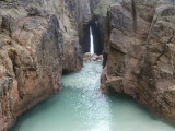
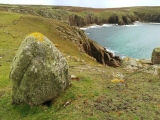
Catrinm visited on 15th Jul 2020 - their rating: Cond: 5 Amb: 5 Access: 3 never can find the rock where the Mary line exits land
Catrinm visited on 15th Jul 2020 - their rating: Cond: 5 Access: 3 Recreating TS&TS pic
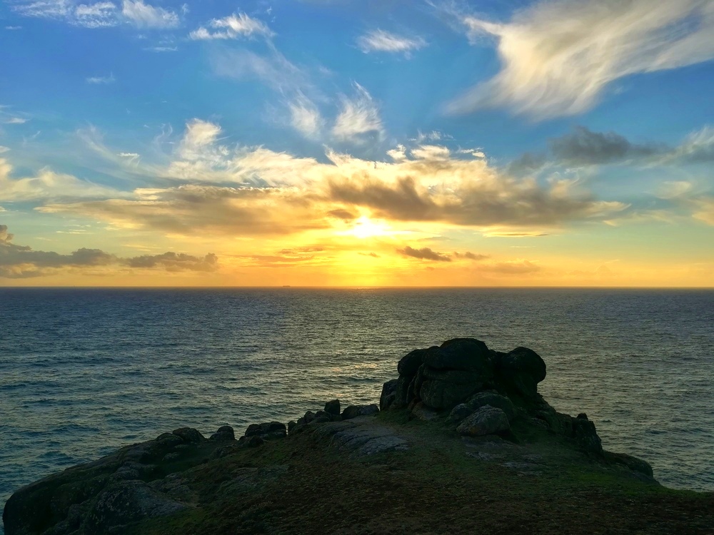
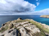
Catrinm visited on 15th Jul 2020 - their rating: Cond: 4 Amb: 5 Access: 3 End of the Michael line - good ambience
lucasn visited on 18th Jul 2019 - their rating: Cond: 1 Amb: 4 Access: 3
ColletteWalsh visited on 1st Jan 0523 - their rating: Cond: 4 Amb: 4 Access: 3 Well worth a visit. First time visit after failed attempt to reach last year in November when a storm hit the coastal path turning it into a mud slide (stretch from Lands End is very narrow and sheer at some parts). This time it was a clear, sunny day and no problems. Great ambiance.
Bladup JimChampion have visited here
Average ratings for this site from all visit loggers: Condition: 3.8 Ambience: 4.5 Access: 3
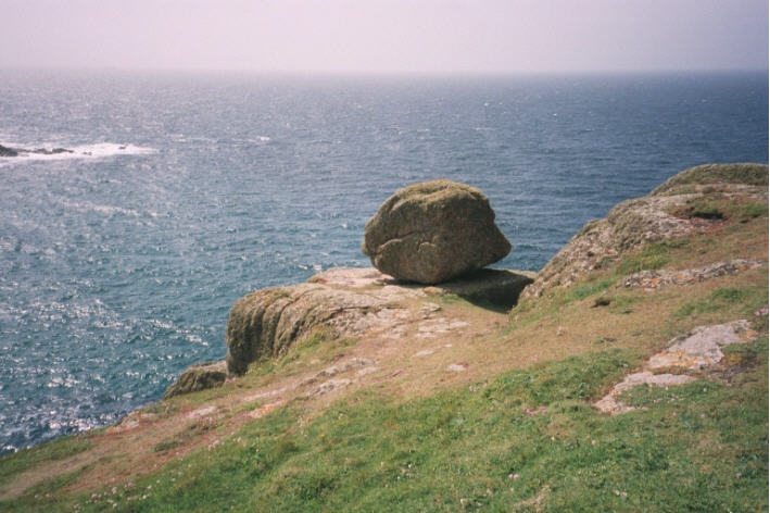
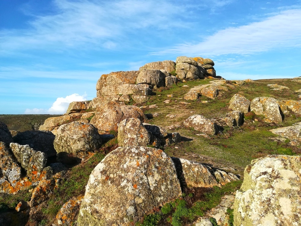
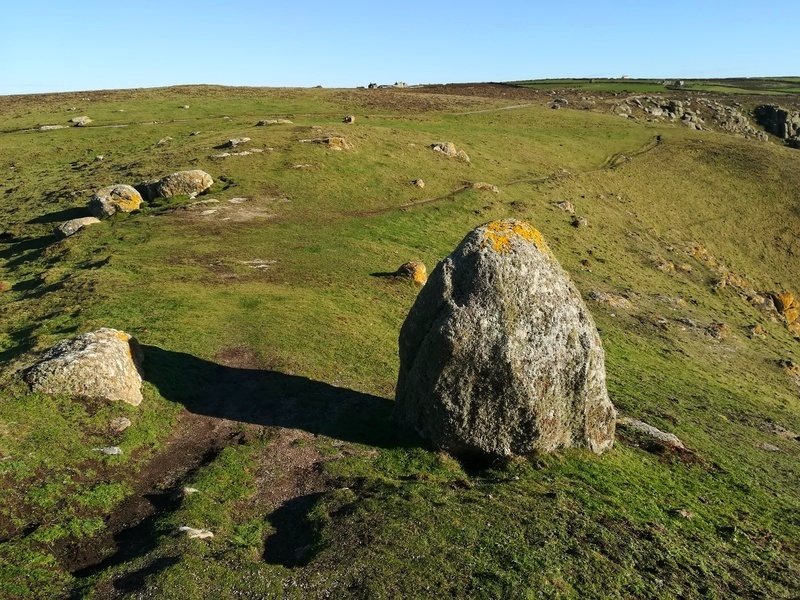
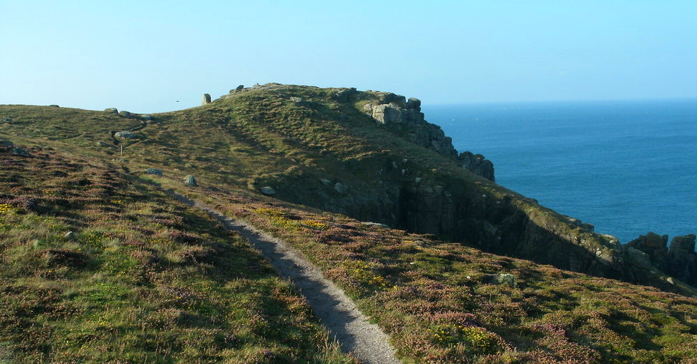
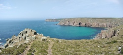
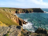
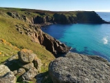
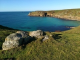
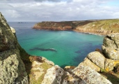
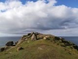
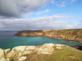
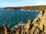
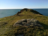
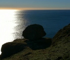
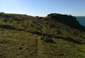
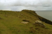
Access The cliff castle is on a headland on the rugged granite coast between Porthgwarra and Land's End, on the southern side of Nanjizal or Mill Bay. Car parking is available at Land's End (expensive and tacky) and Porthgwarra (down a very small and twisting lane), then follow the waymarked coastal path on foot.
You may be viewing yesterday's version of this page. To see the most up to date information please register for a free account.


These are just the first 25 photos of Carn Lês Boel. If you log in with a free user account you will be able to see our entire collection.
Do not use the above information on other web sites or publications without permission of the contributor.
Click here to see more info for this site
Nearby sites
Key: Red: member's photo, Blue: 3rd party photo, Yellow: other image, Green: no photo - please go there and take one, Grey: site destroyed
Download sites to:
KML (Google Earth)
GPX (GPS waypoints)
CSV (Garmin/Navman)
CSV (Excel)
To unlock full downloads you need to sign up as a Contributory Member. Otherwise downloads are limited to 50 sites.
Turn off the page maps and other distractions
Nearby sites listing. In the following links * = Image available
165m ENE 62° Higher Bosistow Cliff Tumulus* Round Barrow(s) (SW35792330)
473m N 4° Lower Bosistow Cliff Cave Cave or Rock Shelter (SW357237)
899m ENE 78° Higher Bosistow Menhir* Standing Stone (Menhir) (SW36532338)
1.1km NW 320° Mushroom Rock* Rock Outcrop (SW34952415)
1.3km NW 312° Trevilley Cliff Tumuli* Barrow Cemetery (SW34682417)
1.4km N 359° Trevilley Cross* Early Christian Sculptured Stone (SW3569524648)
1.4km NW 316° Pordenack Point* Promontory Fort / Cliff Castle (SW347243)
1.9km N 357° Trevescan Cross* Early Christian Sculptured Stone (SW3563425178)
2.3km N 359° Sennen Church* Ancient Cross (SW357255)
2.3km ENE 59° Trebehor Cross* Early Christian Sculptured Stone (SW3763824319)
2.3km ESE 109° Lower Roskestal Cross* Early Christian Sculptured Stone (SW37792235)
2.4km N 354° Sennen Hedge* Standing Stone (Menhir) (SW355256)
2.4km NW 323° Land’s End Iron Age Settlement* Hillfort (SW343252)
2.5km N 7° Mayon Farm Cross* Early Christian Sculptured Stone (SW3607625653)
2.5km NNE 17° Brew Cross Ancient Cross (SW36462556)
2.6km N 3° Table Maen* Natural Stone / Erratic / Other Natural Feature (SW359258)
2.6km ESE 111° Churchyard Cross St Levan* Ancient Cross (SW38032220)
2.6km ESE 110° St Levan's Stone* Natural Stone / Erratic / Other Natural Feature (SW38042220)
2.7km NNW 338° Maen Castle* Promontory Fort / Cliff Castle (SW34762576)
2.7km ESE 107° Rospletha cross* Ancient Cross (SW38202233)
2.7km N 0° Mayon menhir* Standing Stone (Menhir) (SW3578625948)
2.8km ESE 115° St Levan's Well* Holy Well or Sacred Spring (SW38082193)
2.8km NNW 344° Whitesand Bay Stone Circle (SW350260)
2.9km NNW 341° Mayon Cliff cairn* Cairn (SW34812602)
3.0km NNE 22° Trevear Sennen* Standing Stone (Menhir) (SW369260)
View more nearby sites and additional images


 We would like to know more about this location. Please feel free to add a brief description and any relevant information in your own language.
 Wir möchten mehr über diese Stätte erfahren. Bitte zögern Sie nicht, eine kurze Beschreibung und relevante Informationen in Deutsch hinzuzufügen.
 Nous aimerions en savoir encore un peu sur les lieux. S'il vous plaît n'hesitez pas à ajouter une courte description et tous les renseignements pertinents dans votre propre langue.
 Quisieramos informarnos un poco más de las lugares. No dude en añadir una breve descripción y otros datos relevantes en su propio idioma.