Contributory members are able to log private notes and comments about each site
Sites theCAptain has logged. View this log as a table or view the most recent logs from everyone
White Ridge cairn
Date Added: 4th Jun 2022
Site Type: Round Cairn
Country: England (Devon)
Visited: Yes on 3rd May 2022. My rating: Condition 2 Ambience 4 Access 2
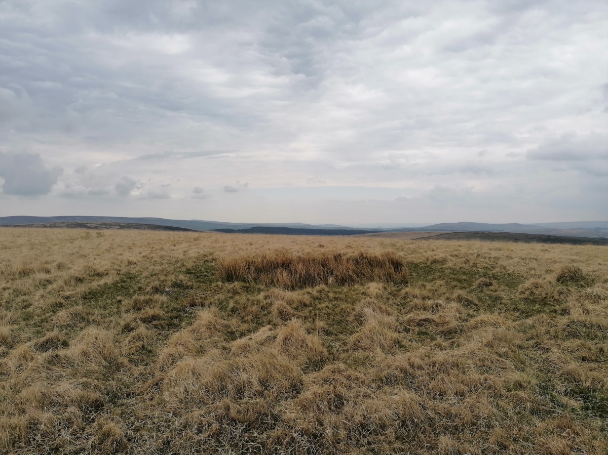
White Ridge cairn submitted by TheCaptain on 30th May 2022. There is clearly a cairn up on top of White Ridge, given away not only by the green stony circle amongst all the pale strawgrass which is everywhere else, but it also has a hollow in the centre, where it has clearly been dug in the past.
There are all around views, here looking southeast.
(View photo, vote or add a comment)
Log Text: After a quick drink on the cairn of the stone row, I head up onto the top of White Ridge for lunch with views all around. There are a few storms blowing in, but thankfully they all avoided me. There is clearly a cairn up here, given away not only by the green stony circle amongst all the pale strawgrass which is everywhere else, but it also has a hollow in the centre, where it has clearly been dug in the past.
White Ridge stone row
Date Added: 4th Jun 2022
Site Type: Stone Row / Alignment
Country: England (Devon)
Visited: Yes on 3rd May 2022. My rating: Condition 2 Ambience 3 Access 2

White Ridge stone row submitted by Brian Byng on 7th Feb 2002. White Ridge.
A double row @ SX 6541 8165 167m lg descending the hill from a ruined 8m dia
cairn. 41 stones still show. The cairn is on the skyline when viewed from the
bottom of the row. The end of the row has no obvious termination. The
elevation of the cairn from the bottom of the row is 3 degrees. The true
azimuth of the row is 7 degrees giving a declination of 42. A trawl through
astronomical objects around Bronze Age times suggests that the star Arcturus
would graze the cair...
(View photo, vote or add a comment)
Log Text: From the Stannon Newtake cairn with cist, I head north to the boundary wall where it is indicated on the map that the south end of White Ridge stone row is to be found (before it was discovered to run much further down the hill, which I didn't know at the time). Using my GPS I found the correct spot, and saw a couple of possible stones, then looking back south into the newtake, I could see s cleared strip of land going right down to where the cairn I couldn't get to is situated. Walking northwards, I noticed a sort of pathway which I followed, and found a few small stones, then saw a couple standing out against the horizon, confirming I was walking along the line of the stone row. I followed this north up to the top cairn, which is very denuded, but has several stones which can be made out. I have seen the stone row described as "one of the least impressive stone rows on the moor", but it has a few decent sections, and I have visited much worse.
Stannon Newtake West Cairn and row
Date Added: 4th Jun 2022
Site Type: Multiple Stone Rows / Avenue
Country: England (Devon)
Visited: Yes on 3rd May 2022. My rating: Condition 2 Ambience 3 Access 2
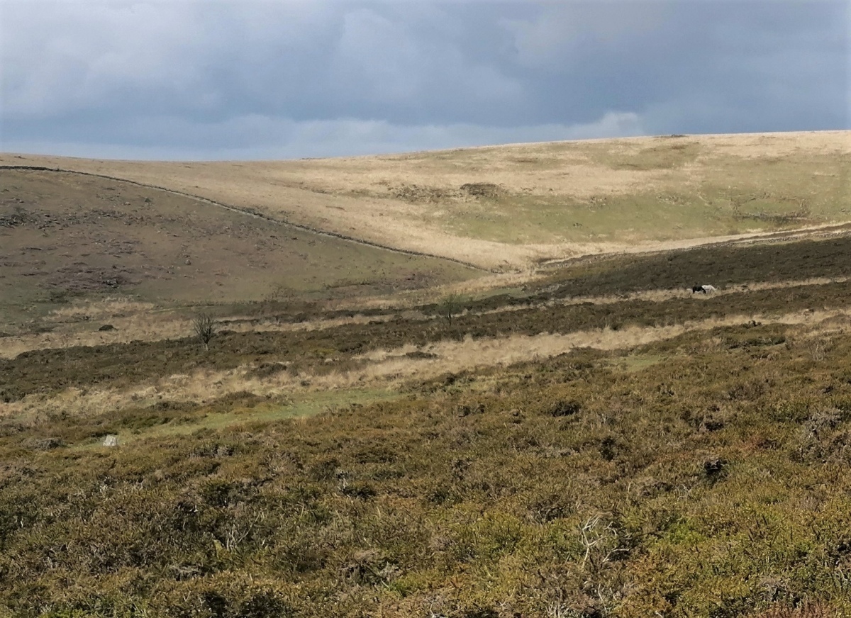
Stannon Newtake West Cairn and row submitted by TheCaptain on 8th May 2022. From the Stannon Newtake cairn with cist, I tried to get to the cairn with possible small stone row which is nearby down the hill. However, I could not get through all the chest height gorse and heather to find it. I think I saw the cairn and a couple of the larger stones further down, situated in a cleared area, lower left of this picture
(View photo, vote or add a comment)
Log Text: From the Stannon Newtake cairn with cist, I tried to get to the cairn with possible small stone row which is nearby down the hill. However, I could not get through all the chest height gorse and heather to find it. I do think that I saw a couple of the larger stones further down, standing in a cleared area. I later find out that the whole length of the White Ridge stone row has been cleared and links up with these stones, which are possibly the end of that long row.
Stannon Newtake cist
Date Added: 4th Jun 2022
Site Type: Cist
Country: England (Devon)
Visited: Yes on 3rd May 2022. My rating: Condition 3 Ambience 3 Access 2
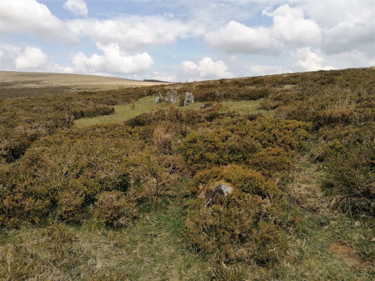
Stannon Newtake cist submitted by TheCaptain on 8th May 2022. Is this an outlier ?
(View photo, vote or add a comment)
Log Text: Walk north over Merripit Hill and on via Stannon Newtake to look for this cairn with cist, which is easily found. The cist is a bit overgrown and I can only see one side of it, but the surrounding semi circle of large stones is in fine condition.
Southmead Barrow
Date Added: 2nd Jun 2022
Site Type: Round Barrow(s)
Country: England (Gloucestershire)
Visited: Yes on 2nd Jun 2022. My rating: Condition 4 Ambience 3 Access 4
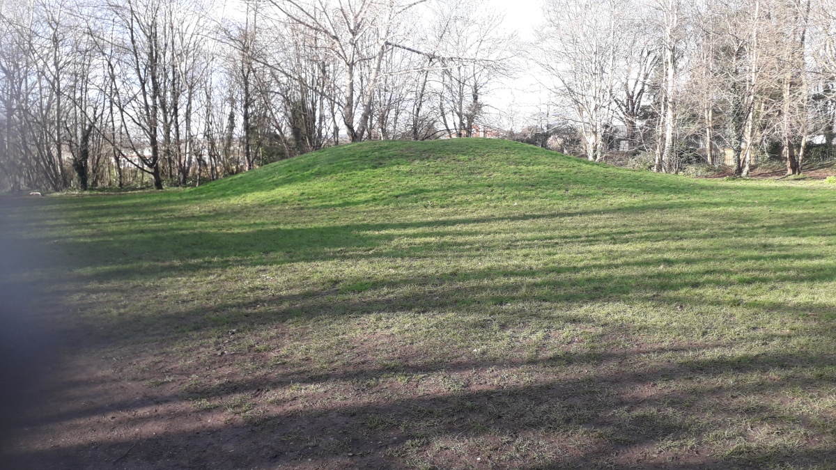
Southmead Barrow submitted by dooclay on 10th Feb 2022. The Tumulus from approx NE
(View photo, vote or add a comment)
Log Text: Remarkably well preserved round barrow now a part of the recently created Badock's Wood nature reserve
Challacombe rows
Date Added: 28th Apr 2022
Site Type: Multiple Stone Rows / Avenue
Country: England (Devon)
Visited: Yes on 3rd Apr 1988

Challacombe rows submitted by thecaptain on 21st Oct 2004. Challacome Multiple Stone Rows.
A fairly old view from Brian Byng looking up the hill along this triple stone row.
This is how I remember the place many years ago - all very overgrown. I must go back sometime to see if its any clearer now.
(View photo, vote or add a comment)
Log Text: None
Burderop Down Disc Barrow
Date Added: 24th Apr 2022
Site Type: Round Barrow(s)
Country: England (Wiltshire)
Visited: Yes on 17th Apr 2022. My rating: Condition 4 Ambience 4 Access 3

Burderop Down Disc Barrow submitted by HarryTwenty on 4th Jan 2019. Looking NE at the barrow across the ditch. The trees on the right are growing along the top of the bank. The shadow of the nearest one falls down into the ditch and up the other side onto the barrow showing you the slope.
(View photo, vote or add a comment)
Log Text: Eventually finding my way back west and up the hill through the recently diverted and fenced pathways, I pass by the large circular ring barrow, now getting a bit overgrown from the other pictures I have seen. Up to the top of the hill and a good view over the site is had.
Draycot Foliat Bowl Barrow
Date Added: 24th Apr 2022
Site Type: Round Barrow(s)
Country: England (Wiltshire)
Visited: Yes on 17th Apr 2022. My rating: Condition 3 Ambience 3 Access 3
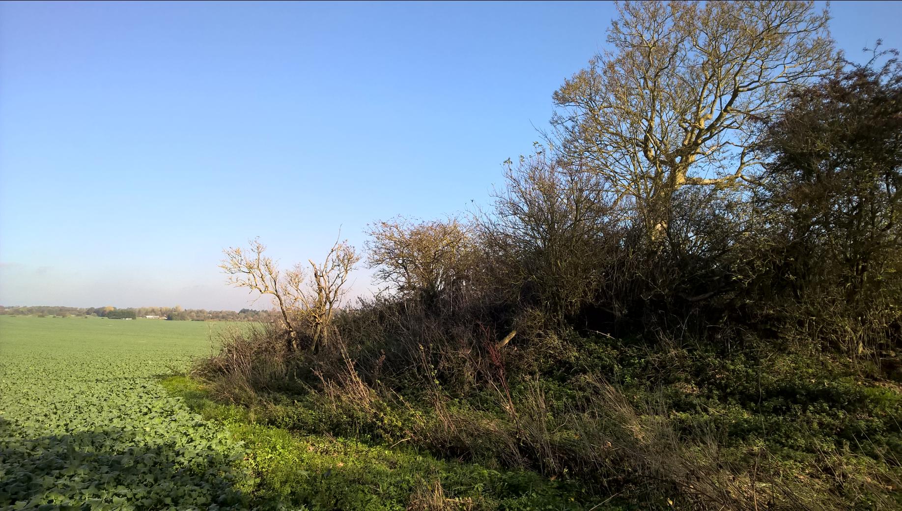
Draycot Foliat Bowl Barrow submitted by HarryTwenty on 7th Jan 2019. The barrow is buried under trees. Looking NE.
(View photo, vote or add a comment)
Log Text: Not the nicest of walks along the old Ridgeway which is now a dusty/muddy/rutted gravel farm track, with several bits fenced and rerouted, I eventually get to the first of two barrows marked. On the north of the track is a large overgrown mound, which is well dug by badgers. A bit further east and to the south of the track where the other barrow is marked, there is nothing to see other than a difference in the growth of the yellow flowering rapeseed.
Barbury Castle Barrows
Date Added: 24th Apr 2022
Site Type: Barrow Cemetery
Country: England (Wiltshire)
Visited: Yes on 17th Apr 2022. My rating: Condition 2 Ambience 3 Access 4
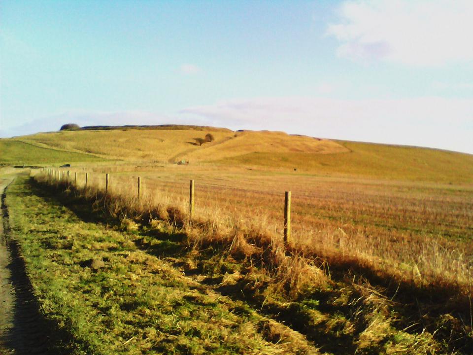
Barbury Castle Barrows submitted by custer on 30th Jan 2011. On left hand side of the path leading up to the Barbury castle hill fort can be seen a disc shape in the grass. A low mound is also just below this.
(View photo, vote or add a comment)
Log Text: Around Barbury Castle are several other circular features and pits, some of which may be the remains of ancient barrows alond with some relatively modern flint pits. Following the Ridgeway west, there is a clear disc barrow on the slopes down from the castle, and some round barrows in the saddle below the hills.
Barbury Castle
Date Added: 18th Apr 2022
Site Type: Hillfort
Country: England (Wiltshire)
Visited: Yes on 17th Apr 2022. My rating: Condition 4 Ambience 4 Access 4
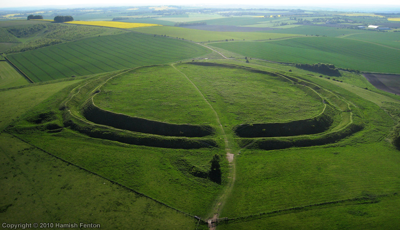
Barbury Castle submitted by h_fenton on 24th May 2010. Barbury Castle (hillfort), an Aerial Photograph taken from the east.
May 2010
(View photo, vote or add a comment)
Log Text: Easter visit to Barbury Castle and a walk on bits of The Ridgeway. This is a lovely well defined hillfort with full double ramparts and good views all around. Several other circular features and pits which may be the remains of ancient barrows and relatively modern flint pits. Interesting to see the views north from the ramparts, the old Wroughton airfield now covered with a solar farm.
Memorial stone to Richard Jefferies and Alfred Williams
Date Added: 18th Apr 2022
Site Type: Modern Stone Circle etc
Country: England (Wiltshire)
Visited: Yes on 17th Apr 2022. My rating: Condition 4 Ambience 4 Access 4

Memorial stone to Richard Jefferies and Alfred Williams submitted by TheCaptain on 18th Apr 2022. On the northern slopes of Burderop Down, Just to the east of Barbury Castle, stands this monument to two local authors, with great views over Swindon and the plains to the north.
Seen here looking east
(View photo, vote or add a comment)
Log Text: To the east of Barbury Castle, just below the ridge of Burderop Down, on the northern slopes below the wood and with great views over the plains to the north of the downs, is seen a stone standing. Closer inspection shows it to be concreted in place, and with two plaques mounted on it, as a memorial to Richard Jefferies and Alfred Williams, two local authors, and erected in 1939.
North Stoke Promontory Fort
Date Added: 11th Apr 2022
Site Type: Promontory Fort / Cliff Castle
Country: England (Somerset)
Visited: Yes on 10th Apr 2022. My rating: Condition 3 Ambience 4 Access 3

North Stoke Promontory Fort submitted by Bladup on 10th Jan 2015. The bank and ditch at the eastern entrance of North Stoke Promontory Fort.
(View photo, vote or add a comment)
Log Text: A walk round Lansdown battlefields and around the racecourse, making sure to check out the hillfort defences this time, which are more substantial than I remember. Lovely views to south and west, overlooking the Avon valley and watch the birds.
North Stoke Promontory Fort
Date Added: 11th Apr 2022
Site Type: Promontory Fort / Cliff Castle
Country: England (Somerset)
Visited: Yes on 4th Jul 2015. My rating: Condition 2 Ambience 4 Access 3
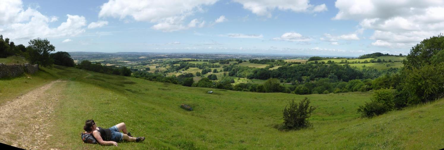
North Stoke Promontory Fort submitted by TheCaptain on 30th Jul 2015. Panorama from the north western slopes of the promontory fort. The fort itself on the top of the plateau behind. The scarp of the hill has been shaped.
(View photo, vote or add a comment)
Log Text: Having a walk round Lansdown, passed through this hillfort. Didn't notice too much of the internal banks and ditches, but must have walked alongside them for a while! The hilltop edge is very steep, and the views to south and west are supreme. A lovely place to stand and stare!
Offa's Dyke at Tidenham Chase
Date Added: 7th Apr 2022
Site Type: Misc. Earthwork
Country: England (Gloucestershire)
Visited: Yes on 3rd Apr 2022. My rating: Condition 3 Ambience 4 Access 4
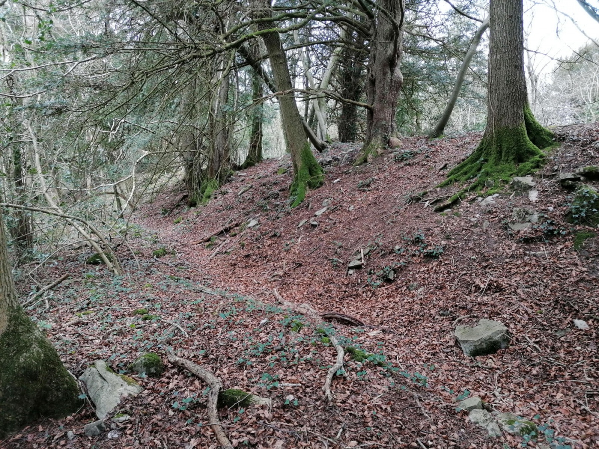
Offa's Dyke at Tidenham Chase submitted by TheCaptain on 7th Apr 2022. A walk up Offas Dyke from Chepstow to Brockweir, and not hammering down with rain this time, so I got a few snaps. The banks are not built as big as further north, but there is a lot of stone in the construction here, looking more like a wall in places.
(View photo, vote or add a comment)
Log Text: A walk up Offas Dyke from Chepstow to Brockweir, and not hammering down with rain this time, so I got a few snaps. The banks are not built as big as further north, but there is a lot of stone in the construction here, looking more like a wall in places.
Sudbrook Camp
Date Added: 31st Mar 2022
Site Type: Hillfort
Country: Wales (Monmouthshire)
Visited: Yes on 26th Mar 2022. My rating: Condition 3 Ambience 3 Access 4
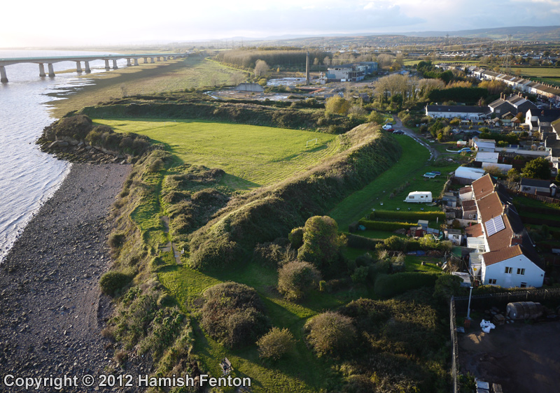
Sudbrook Camp submitted by h_fenton on 13th Nov 2012. Sudbrook Camp, viewed from the east.
Kite Aerial Photograph
10 November 2012
(View photo, vote or add a comment)
Log Text: Walking the Welsh Coast Path from Chepstow to Caldicot. Remains of iron age fortifications on the banks of the Severn estuary at Sudbrook, beside the railway tunnel pumping station and the landfall of the M4 Severn Crossing on the Welsh side. Lovely looking out to sea when the tide is in, not so lovely looking inland with the houses built so near.
Thornwell Farm
Date Added: 31st Mar 2022
Site Type: Chambered Tomb
Country: Wales (Monmouthshire)
Visited: Yes on 26th Mar 2022. My rating: Condition 3 Ambience 3 Access 5
Thornwell Farm submitted by thecaptain on 15th Nov 2006. On a housing estate to the south of Chepstow, are to be found the sad remains of a once major neolithic chambered tomb.
It is on a green space between the houses of Fountains Way, and has a very large old oak tree growing on top of it.
Under the tree can be seen remains of a large mound with various rocks sticking out, particularly on the northern side.
(View photo, vote or add a comment)
Log Text: Walking the Welsh Coast Path from Chepstow to Caldicot. Remains of a chambered longbarrow on a green area in the housing estate of Thornwell, near to the motorway junction south of Chepstow. Remains of two slab sided chambers can still be seen when the undergrowth is low.
Thornwell Round Barrow
Date Added: 31st Mar 2022
Site Type: Round Barrow(s)
Country: Wales (Monmouthshire)
Visited: Yes on 11th Nov 2006. My rating: Condition 2 Ambience 2 Access 5
Thornwell Round Barrow submitted by thecaptain on 15th Nov 2006. About 100 metres to the east of the chambered tomb, the remains of a bronze age round barrow can be found in another green grassy area left between the houses.
The large oak tree growing in the chambered tomb can be seen above the rooftops to the left of centre.
(View photo, vote or add a comment)
Log Text: About 100 metres to the east of the chambered tomb, following a footpath up between the houses, the remains of a bronze age round barrow can be found in another green grassy area left between the houses. Its about 10 metres in diameter, and in a few places an occasional stone can be seen to be sticking through the grass.
Thornwell Farm
Date Added: 31st Mar 2022
Site Type: Chambered Tomb
Country: Wales (Monmouthshire)
Visited: Yes on 11th Nov 2006. My rating: Condition 2 Ambience 2 Access 5
Thornwell Round Barrow submitted by thecaptain on 15th Nov 2006. About 100 metres to the east of the chambered tomb, the remains of a bronze age round barrow can be found in another green grassy area left between the houses.
The large oak tree growing in the chambered tomb can be seen above the rooftops to the left of centre.
(View photo, vote or add a comment)
Log Text: On a housing estate to the south of Chepstow, right beside the Severn Bridge motorway junction from where it can be seen, are to be found the sad remains of a once major neolithic chambered tomb. It is to be found on a green space between the houses of Fountains Way and the back of a shopping area, and has a very large old oak tree growing on top of it. Under the tree can be seen remains of a large mound with various rocks sticking out, particularly on the northern side. Closer inspection of the high ground beside the tree reveals what looks to be the remains of a tomb chamber. Several edge set stones are to be seen sticking out of the ground, forming a rectangular structure about 3 metres by 2 metres, with a right angle incorporated – perhaps remains of an entrance and side chamber ? Below the tree the ground drops away quite steeply, and indeed may be the remains of the edge of the tomb, which has been shown to have once consisted of a large drystone wall surrounded structure. Within the rubble in this bank are several large stone slabs, which may once have been part of a side chamber. The stones are the local hard puddingstone type conglomerate of sandstone with gravel in it. When I was visiting, I was not sure whether this was the right place for this tomb, and so asked a local lady. She told me that although she did not know what was there, she had been told that her views would never be spoiled because no new building would ever be allowed on the green space because of some historical site. Excavations here in the past have revealed drystone walling, one main and two side chambers (one with a porthole) plus human bones, pottery, flints etc.
The Bulwarks (Monmouthshire)
Date Added: 31st Mar 2022
Site Type: Hillfort
Country: Wales (Monmouthshire)
Visited: Yes on 26th Mar 2022. My rating: Condition 3 Ambience 3 Access 5
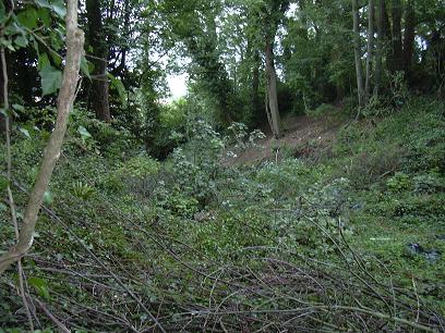
The Bulwarks (Monmouthshire) submitted by byll on 16th Aug 2010. Ditch/slope to the south of the Bulwarks
(View photo, vote or add a comment)
Log Text: Walking the Welsh Coast Path route from Chepstow to Caldicot. Remains of a hillfort / camp built by the Silures in the late Iron Age, overlooking the river Wye just to the south of Chepstow. Good views from the corner where the trees are cut back
Giant's Caves
Date Added: 6th Mar 2022
Site Type: Chambered Cairn
Country: England (Wiltshire)
Visited: Yes on 6th Mar 2022. My rating: Condition 3 Ambience 3 Access 4
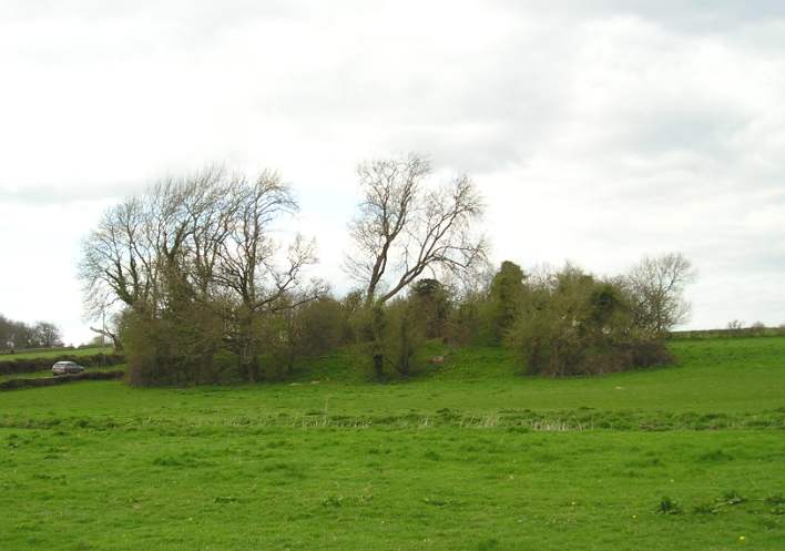
Giant's Caves submitted by thecaptain on 16th Apr 2004. Giant’s Caves, Chambered Tomb, Luckington, Wiltshire, ST820830
Overall view from the south of this fantastic long barrow, which lies on an east west axis, in a field just to the north of a little stream on the edge of the Badminton estate. The initial impression is that it is fairly ruinous, but closer inspection reveals that there is much left here. Although the ends of the barrow appear to have been removed at sometime in the past, the remaining central part show what a large structure th...
(View photo, vote or add a comment)
Log Text: A lot of the large trees and overgrowth has gone since I was last here 19 years ago, but its still overrun with brambles etc, and not in a good condition. The remains of three chambers are easily found with large side slabs still in place, but there is also a worrying heap of large slabs piled nearby, no doubt once part of the structures. I didn't do too much delving to see what else I could find.
