Contributory members are able to log private notes and comments about each site
Sites markj99 has logged. View this log as a table or view the most recent logs from everyone
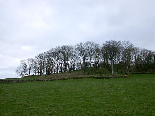
Drummore Hillfort
Date Added: 26th Jan 2019
Site Type: Hillfort
Country: Scotland (Dumfries and Galloway)
Visited: Yes on 17th Jan 2019. My rating: Condition 3 Ambience 3 Access 3

Drummore submitted by nicoladidsbury on 13th Apr 2004. Grid Ref: NX688458
County: Dumfriesshire
(View photo, vote or add a comment)
Log Text: Drummore Castle is in a commanding defensive location with a view to the coast. The trees are blurring the edges of the double ditch and rampart defences. There is no evidence of occupation on the enclosure. The fort is 300m South of Drummore Stone Circle, up the slope and obscured by trees.
Caulside Burn Cairn North
Date Added: 19th Nov 2018
Site Type: Cairn
Country: Scotland (Dumfries and Galloway)
Visited: Yes on 5th Nov 2018. My rating: Condition 2 Ambience 4 Access 3

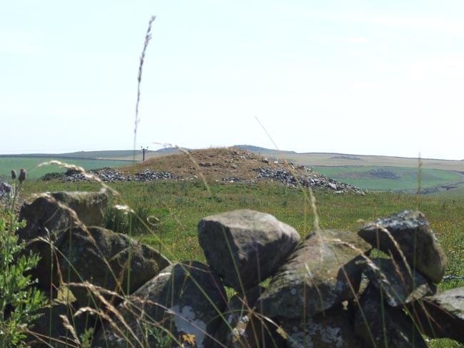
Caulside Burn Cairn North submitted by markj99 on 13th Nov 2018. Cauldside Cairn North from N, in line with Cauldside Cairn South & Cairnharrow Summit.
(View photo, vote or add a comment)
Log Text: This ruined cairn can be found by parking at Cambret Hill just above the cattle grid on the road to the Cambret Hill mast. Head downhill towards the summit of Cairnharrow opposite. Cauldside Cairn South, a large well preserved cairn will be visible half way up Cairnharrow across the valley. Cross the fence at the bottom of Cambret Hill and line up the summit of Cairnharrow with Cauldside Cairn South.
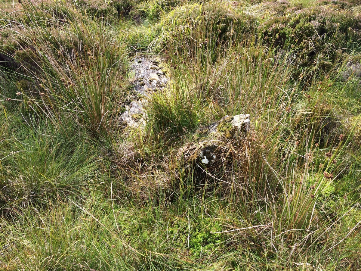
You should see a green area, a reed bank, stand out from the brown moorland around 100 yards straight ahead. The ground is boggy up to the cairn. The ruined cist is surrounded by reeds and an earth bank.
Caulside Burn Stone Setting
Date Added: 13th Nov 2018
Site Type: Stone Row / Alignment
Country: Scotland (Dumfries and Galloway)
Visited: Yes on 5th Nov 2018. My rating: Access 3
Log Text: While visiting the Cauldside Burn Cairn North I looked for the two stones first using GPS, then by grid searching the area S of the cairn. This was difficult due to tussocks of heather and uneven ground. I found no substantial stones in a 30 yards by 30 yards area.
Machermore Cairns
Date Added: 21st Oct 2018
Site Type: Cairn
Country: Scotland (Dumfries and Galloway)
Visited: Yes on 14th Oct 2018. My rating: Condition 4 Ambience 5 Access 4

Culroy Cairn 1 submitted by andy_h on 14th Aug 2006. Nearest cairn to the single track road. One of five cairns.
(View photo, vote or add a comment)
Log Text: The Machermore cairn should be called Culroy Cairn as it is on Culroy farmland. A Canmore search for Culroy will find these cairns.
The cairn is almost perfectly preserved except for some exposed stones on the E flank. It's location in a flat field elevates this cairn into my top 10.
I found the cairn to the E, however it is covered by whins and in a poor condition.
Culroy White Cairn lies 100 yards of the Y junction at Culroy farm around 1/2 mile up the road.
I have plans to revisit to sort out the remaining cairns. Canmore's 1911 visit seems to have been over enthusiastic in it's cairn nominations.
Birsay
Date Added: 2nd May 2025
Site Type: Ancient Village or Settlement
Country: Scotland (Orkney)
Visited: Saw from a distance on 10th Aug 2012. My rating: Access 4
Birsay submitted by howar on 23rd Jan 2013. Earl's place and some of the longhouses outlined by snow.
(View photo, vote or add a comment)
Log Text: When I visited Point of Buckquoy on the NW of Orkney Mainland, the causeway to Brough of Birsay was under water so I had to settle for a distant view.
Water of Deugh
Date Added: 9th Jun 2021
Site Type: Chambered Cairn
Country: Scotland (Dumfries and Galloway)
Visited: Couldn't find on 6th Jun 2021
Water of Deugh submitted by markj99 on 22nd Nov 2020. Water of Deugh S Chamber
(View photo, vote or add a comment)
Log Text: Water of Deugh cairn is inside a restricted access construction zone for a wind farm. There was no completion date posted so it may be some time before Water of Deugh is accessible. Having been denied access by Red Tape I decided to approach Water of Deugh from another angle. It is possible to approach Water of Deugh by parking up in a passing place at NS 55614 01036 on the dead-end lane. Water of Deugh Cairn lies c. 250 yards WNW from this point. Unfortunately it is a stiff walk up a tree felled No Man's Land slope to reach the edge of the forest. On reaching the forest edge to look for a suitable forest ride I found multiple fallen trees forming an impenetrable barrier. At this point I took the hint and gave up.
Glac A` Charraigh
Date Added: 5th Sep 2019
Site Type: Standing Stone (Menhir)
Country: Scotland (Isle of Islay)
Visited: Would like to visit

Glac A` Charraigh submitted by markj99 on 5th Sep 2019. Glac A’ Charraigh choke stone
(View photo, vote or add a comment)
