Contributory members are able to log private notes and comments about each site
Sites markj99 has logged. View this log as a table or view the most recent logs from everyone
Er Lannic
Date Added: 26th Sep 2023
Site Type: Stone Circle
Country: France (Bretagne:Morbihan (56))
Visited: Yes on 15th Sep 2023. My rating: Ambience 3
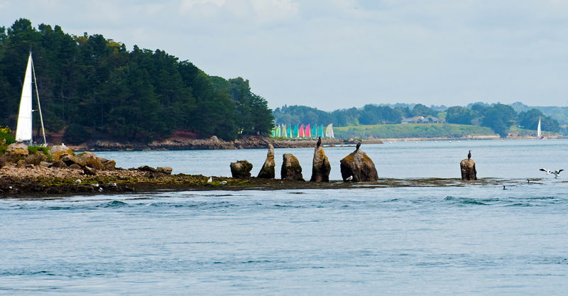
Er Lannic submitted by 43559959 on 15th May 2014. Er Lannic and it's birds.
(View photo, vote or add a comment)
Log Text: I sailed past Er Lannic on the way to Isle de Gavrinis so I suppose that counts. However I was on the starboard of the boat (right-side) so I wasn't able to get a good picture.
Er Vil Dolmen
Date Added: 3rd Oct 2023
Site Type: Burial Chamber or Dolmen
Country: France (Bretagne:Morbihan (56))
Visited: Yes on 17th Sep 2023. My rating: Condition 3 Ambience 4 Access 3
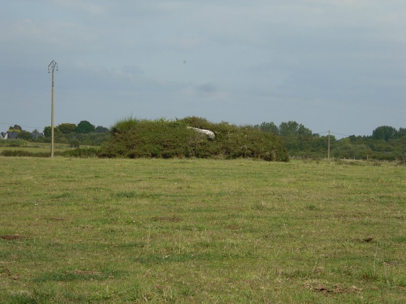
Er Vil dolmen submitted by regina on 26th Oct 2014. Walking on a footpath along the coast it was not possible to get near to the dolmen.
(View photo, vote or add a comment)
Log Text: Dolmen de St Pierre Loperec is in a grass field on the edge of the coast. It is located on a mound in the centre of the field.
Take the Pointe er Ville turn off the Route de Saint-Pierre just after passing through Kerguérec. Park up after c. 300m. The road is restricted to authorised vehicles after this point. Walk S for c. 200m. Take a path heading S for c. 100m. Dolmen de St Pierre Loperec is c. 120m SE in the centre of a grassy field.
Er-Grah tumulus
Date Added: 24th Sep 2023
Site Type: Chambered Tomb
Country: France (Bretagne:Morbihan (56))
Visited: Yes on 14th Sep 2023. My rating: Condition 3 Ambience 4 Access 4
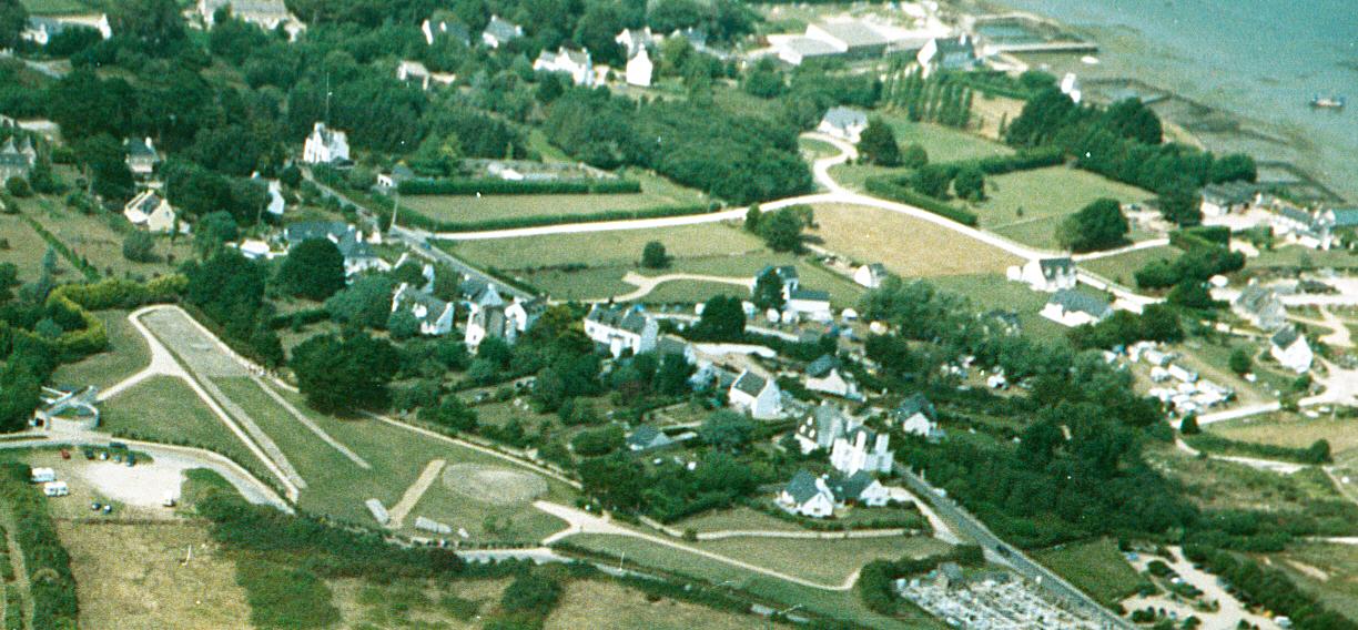
Er-Grah tumulus submitted by JJ on 8th Oct 2003. Er Grah tumulus, Grand Menhir Brisé, and La Table des Marchands, Locmariaquer.
Aerial photo copyright JJ Evendon
(View photo, vote or add a comment)
Log Text: Er-Grah Tumulus is one of Locmariaquer's big three sites. It is only accessible via the Site des Megalithes Visitor Centre for 6 euros. To be fair, there are three impressive monuments, unrestricted visiting time and free parking so what's not to like?
Er-Grah Tumulus has gravitas but it's long thin footprint make it difficult to capture a definitive image. The undoubted focus is the central tomb with its massive capstone, the cherry on the cake. I decided to walk slowly round Er-Grah Tumulus absorbing its antiquity as I strolled.
Fairies Chest (Embsay Moor)
Date Added: 22nd Jul 2025
Site Type: Natural Stone / Erratic / Other Natural Feature
Country: England (Yorkshire (North))
Visited: Yes on 17th Apr 2009. My rating: Condition 5 Ambience 5 Access 3
Fairies Chest (Embsay Moor) submitted by markj99 on 17th May 2020. The Fairies Chest close up, viewed from NW.
(View photo, vote or add a comment)
Log Text: The Fairy's Chest is a large cuboid boulder which measures c. 10m x 3m x 3m and has unusually flat surfaces. It is c. 20 yards W of the path between the wood and the moor, located c. 1.4 miles along my walking route from Embsay Reservoir Car Park. My walking route is viewable on Fairy's Chest (Embsay Moor).
Fauldinchie E
Date Added: 12th May 2022
Site Type: Misc. Earthwork
Country: Scotland (Dumfries and Galloway)
Visited: Yes on 8th May 2022. My rating: Condition 3 Ambience 4 Access 3
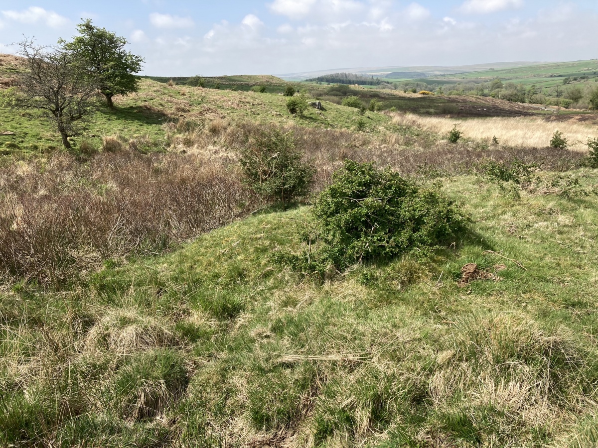
Fauldinchie E submitted by markj99 on 10th May 2022. Fauldinchie E Burnt Mound viewed from E.
(View photo, vote or add a comment)
Log Text: The Southern Upland Way is usually muddy so wellies are recommended. The location of the burnt mound in marshy ground make wellies essential.
Fauldinchie W
Date Added: 10th May 2022
Site Type: Misc. Earthwork
Country: Scotland (Dumfries and Galloway)
Visited: Yes on 5th May 2022. My rating: Condition 3 Ambience 4 Access 3
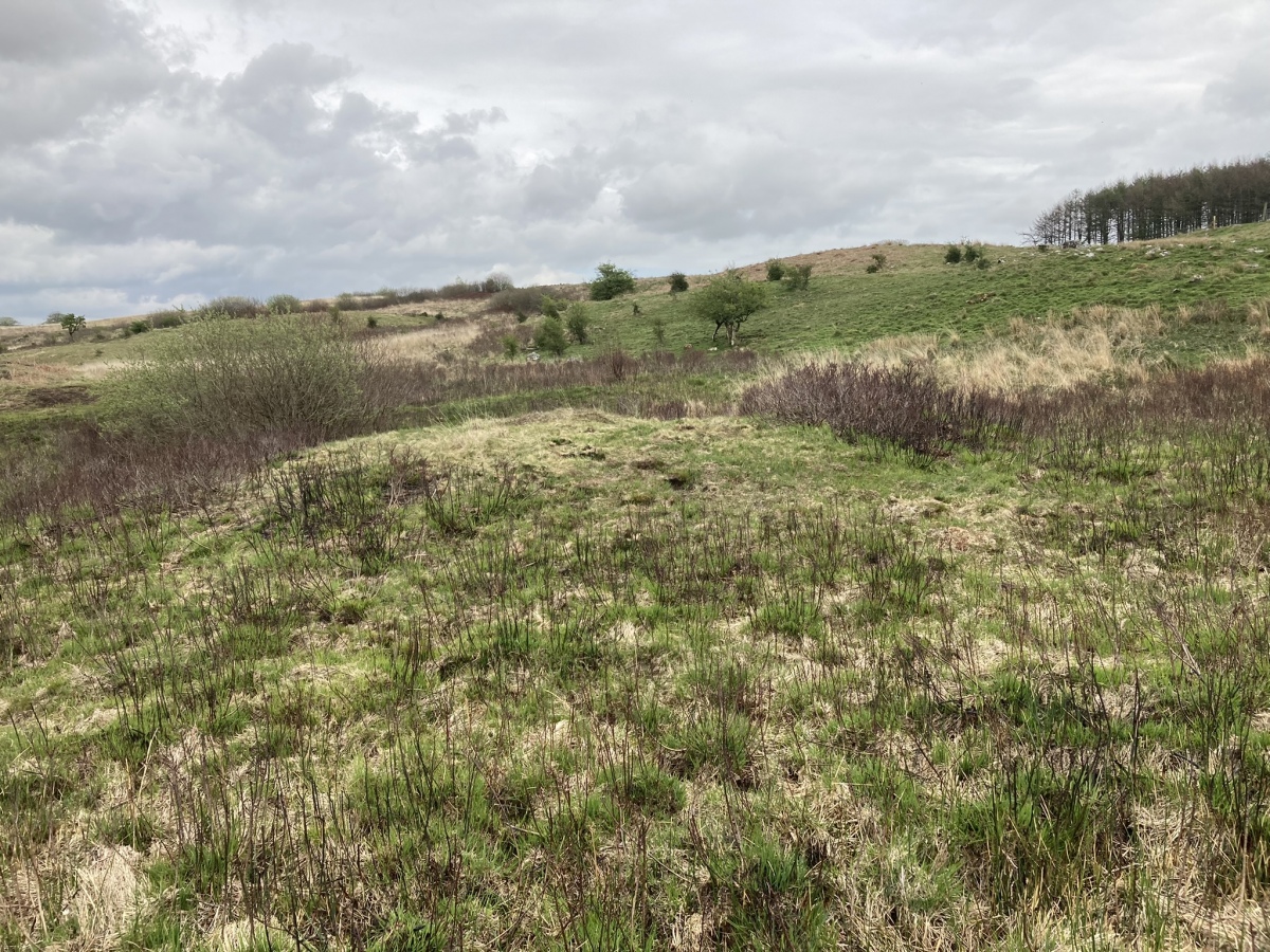
Fauldinchie W submitted by markj99 on 10th May 2022. Fauldinchie W Burnt Mound viewed from W.
(View photo, vote or add a comment)
Log Text: The Southern Upland Way is usually muddy so wellies are recommended. The location of the burnt mound in marshy ground make wellies essential.
Fell of Barhullion
Date Added: 11th Jun 2025
Site Type: Hillfort
Country: Scotland (Dumfries and Galloway)
Visited: Yes on 3rd Jun 2025. My rating: Condition 3 Ambience 4 Access 3
Fell of Barhullion submitted by SolarMegalith on 11th Sep 2013. Fell of Barhullion hillfort - view from the south (photo taken on September 2013).
(View photo, vote or add a comment)
Log Text: Fell of Barhullion Hillfort occupies the summit of the Fell of Barhullion. The ruined fort has an original entrance on the S flank and a prominent modern cairn and OS trig point on the N flank. Canmore ID 62757 suggests there was a construction of randomly positioned vertically embedded stones on the N and E flanks known as a Cheveux de Frise. Several vertical stones survive on the N flank.
Fell of Loch Ronald
Date Added: 8th Oct 2024
Site Type: Cairn
Country: Scotland (Dumfries and Galloway)
Visited: Yes on 3rd Oct 2024. My rating: Condition 1 Ambience 4 Access 3

Fell of Loch Ronald submitted by markj99 on 7th Oct 2024. Moss Covered Stones in E Quadrant of Fell of Loch Ronald Cairn.
(View photo, vote or add a comment)
Log Text: Fell of Loch Ronald Cairn is not easy to find but the route to it is a wide track until the last 200 yards on rough terrain. The cairn has been badly mauled by forest ploughing however an excavated cist with six large stones has survived. GPS navigation is essential to locate the hidden cist.
Fenterleigh
Date Added: 14th Nov 2023
Site Type: Ancient Cross
Country: England (Cornwall)
Visited: Yes on 5th Jun 2023. My rating: Condition 4 Ambience 4 Access 5
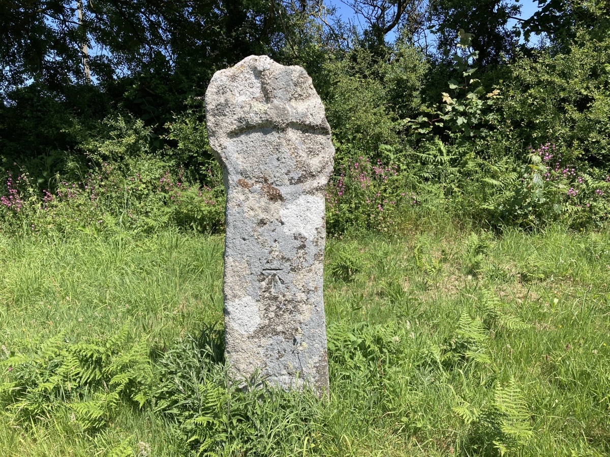
Fenterleigh submitted by markj99 on 15th Jun 2023. South Face of Fenterleigh Cross.
(View photo, vote or add a comment)
Log Text: Take the Davidstow road in the centre of Bossinay at SX 0656 8882. Follow the road for c. 0.5 mile to a crossroads. Turn left onto a minor road for c. 50 yards to park up in a passing place. Walk back up to the the crossroads. The ancient cross is on your left adjacent to the road.
Finnarts Hill
Date Added: 5th Nov 2022
Site Type: Standing Stones
Country: Scotland (South Ayrshire)
Visited: Yes on 14th Jun 2019. My rating: Condition 3 Ambience 4 Access 2
Finnarts Hill submitted by markj99 on 18th Oct 2020. Finnarts Hill Standing Stone A
(View photo, vote or add a comment)
Log Text: These small stones are not spectacular however if you are visiting Finnarts Hill Cairn the extra half mile extension is worthwhile.
Finnarts Hill Cairn
Date Added: 4th Nov 2022
Site Type: Cairn
Country: Scotland (South Ayrshire)
Visited: Yes on 25th Oct 2022. My rating: Condition 2 Ambience 4 Access 3
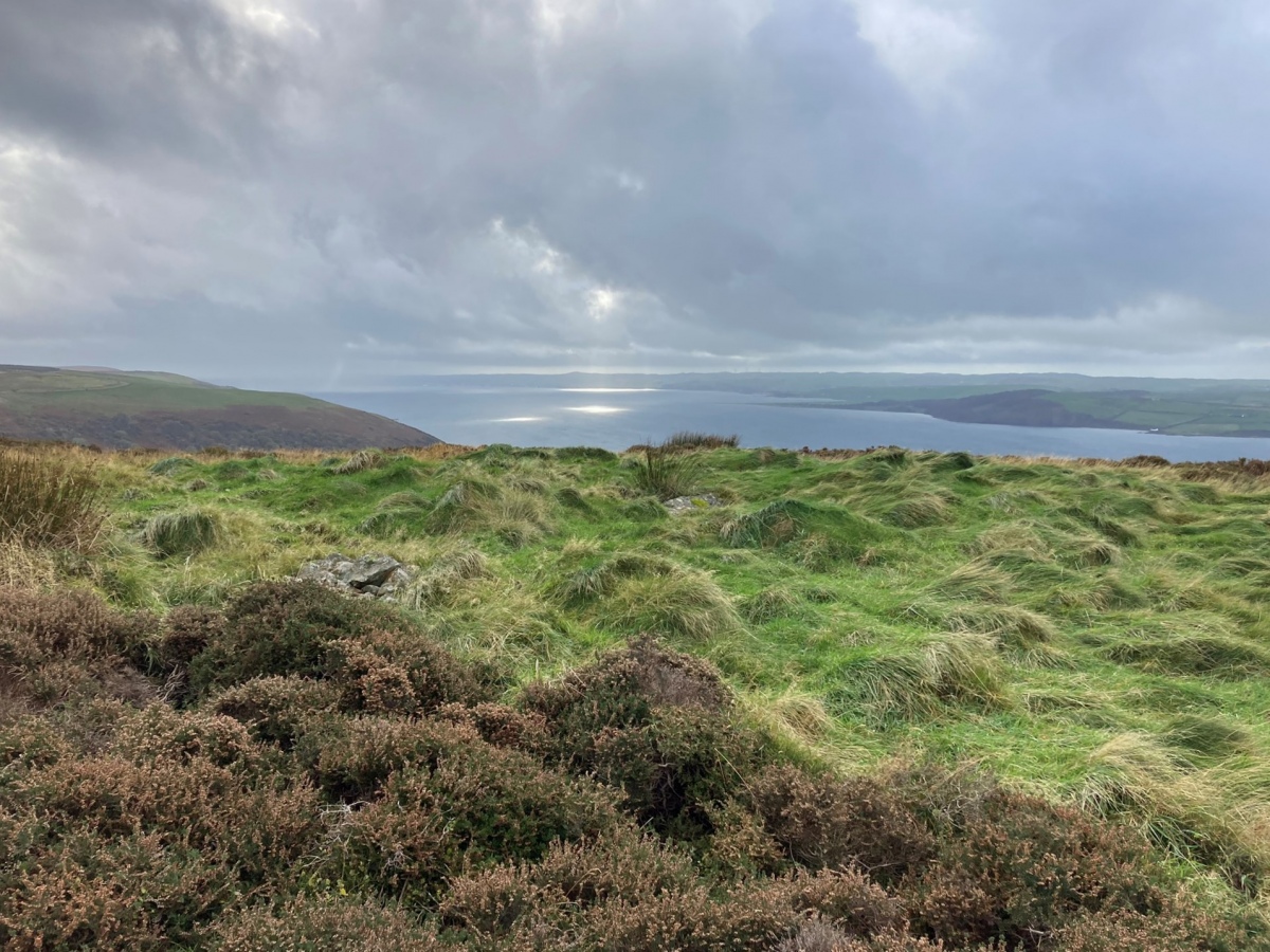
Finnarts Hill Cairn submitted by markj99 on 27th Oct 2022. Finnarts Hill Cairn viewed from N.
(View photo, vote or add a comment)
Log Text: Finnarts Hill Cairn is a verdant isle in a sea of heather with a fine view of Loch Ryan to the West. The large capstone in the centre of the cairn is an impressive remnant.
Finnarts Hill Enclosure
Date Added: 4th Nov 2022
Site Type: Causewayed Enclosure
Country: Scotland (South Ayrshire)
Visited: Yes on 25th Oct 2022. My rating: Condition 2 Ambience 4 Access 3
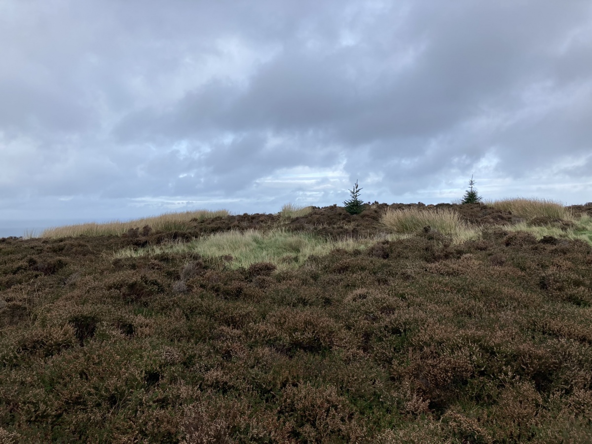
Finnarts Hill Enclosure submitted by markj99 on 27th Oct 2022. Finnarts Hill Enclosure viewed from S.
(View photo, vote or add a comment)
Log Text: Finnarts Hill Enclosure is located in heather moorland on the summit of Finnarts Hill. Reeds have largely obscured the ditch surrounding the enclosure and the irregular surface of the cairn is covered in grass tussocks. As with nearby Finnarts Hill Cairn, the W view of Loch Ryan is its most impressive aspect.
Four Parishes Rock
Date Added: 31st Mar 2023
Site Type: Sculptured Stone
Country: England (Cornwall)
Visited: Yes on 15th Oct 2012. My rating: Condition 3 Ambience 4 Access 3
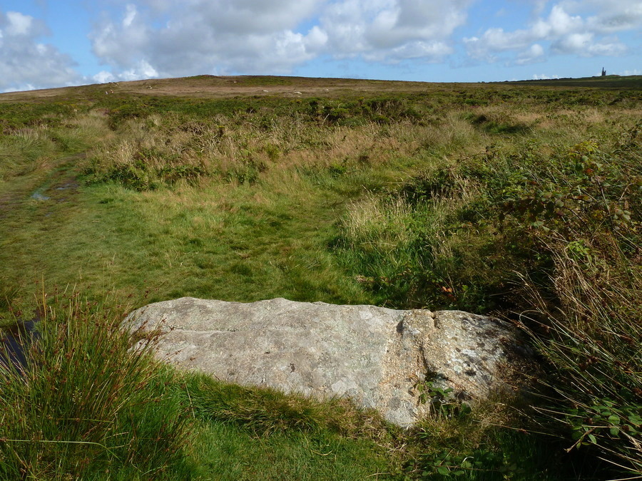
Four Parishes Rock submitted by Bladup on 4th Dec 2017. Four Parishes Rock, I believe the right hand side of this stone is a slightly different colour because it was once in the ground (for a long time), therefore making this a former Standing Stone. The weathering at the other end (left) is also going in the right direction if made when stood up. Ding Dong mine is visible on the right.
(View photo, vote or add a comment)
Log Text: The Four Parishes Rock is obviously a recumbent standing with two crosses and indecipherable script inscribed on the stone. It is located at a crossroads in an area rich in megalithic remains. Worth a look in passing.
Friar's Kirk NW
Date Added: 27th Feb 2024
Site Type: Cairn
Country: Scotland (Dumfries and Galloway)
Visited: Yes on 11th Feb 2024. My rating: Condition 2 Ambience 4 Access 1
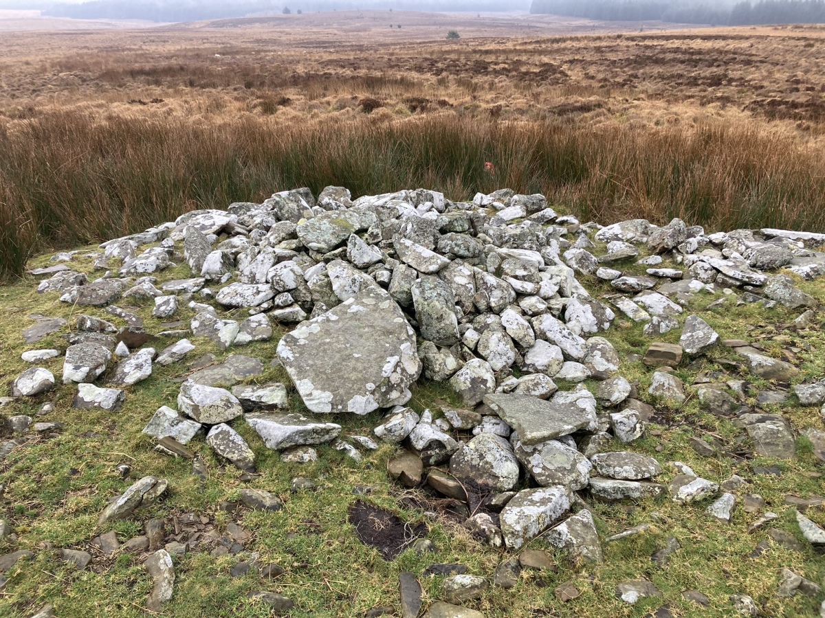
Friar's Kirk NW submitted by markj99 on 16th Feb 2024. S Half of Friar's Kirk NW Cairn
(View photo, vote or add a comment)
Log Text: Friar's Kirk ruin is located c. 0.6 miles NNW of Drumanwherran Moor in open moorland. Friar's Kirk SE and NW cairns are located NW of the ruined enclosure. The route to the cairns crosses two streams and boggy land: wellies are recommended. GPS navigation is necessary to find the isolated cairns.
Friar's Kirk SE
Date Added: 14th May 2024
Site Type: Cairn
Country: Scotland (Dumfries and Galloway)
Visited: Yes on 11th Feb 2024. My rating: Condition 2 Ambience 4 Access 1

Friar's Kirk SE submitted by markj99 on 16th Feb 2024. Centre of Friar's Kirk SE Cairn viewed from W.
(View photo, vote or add a comment)
Log Text: Friar's Kirk ruin is located c. 0.6 miles NNW of Drumanwherran Moor in open moorland. Friar's Kirk SE and NW cairns are located NW of the ruined enclosure. The route to the cairns crosses two streams and boggy land: wellies are recommended. GPS navigation is necessary to find the isolated cairns.
Galabraes
Date Added: 25th Apr 2023
Site Type: Standing Stone (Menhir)
Country: Scotland (West Lothian)
Visited: Yes on 22nd Apr 2023. My rating: Condition 3 Ambience 4 Access 3
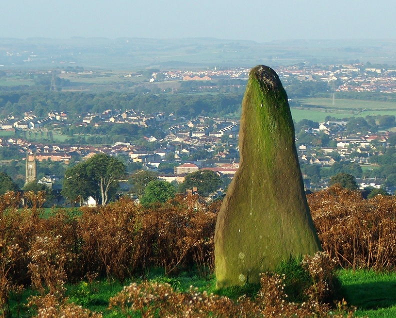
Galabraes submitted by postman on 11th Nov 2012. Site in West Lothian Scotland
Galabraes standing stone, it's not far from Cairnpapple and very close to the road, how com no-ones posted on here before
(View photo, vote or add a comment)
Log Text: Galabraes E Standing Stone is on the left side of the narrow road approaching Cairnpapple Hill. I resolved to visit it on the way back. To paraphrase Charles Dickens, Galabraes is "A Tale of Two Stones": the E Standing Stone is a tall erect slab and the W broken stump on the edge of gorse bushes is a sad remnant of a standing stone. In fact, the gorse bushes are encroaching on W Galabraes stone so don't leave it too long. The condition rating of Galabraes E is 4 and Galabraes W is 2, hence the average rating of 3.
Galachlaw Cairn
Date Added: 2nd Sep 2023
Site Type: Cairn
Country: Scotland (Midlothian)
Visited: Yes on 21st Apr 2023. My rating: Condition 2 Ambience 4 Access 4
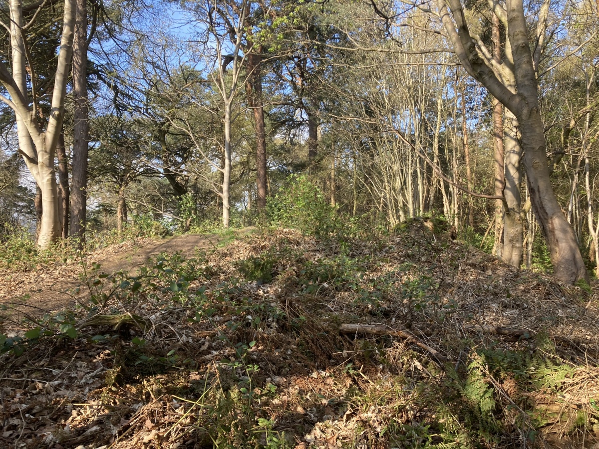
Galachlaw Cairn submitted by markj99 on 25th Apr 2023. Galachlaw Cairn viewed from E.
(View photo, vote or add a comment)
Log Text: There is room to park at the end of Galachlawside cul-de sac. A vague path leads SW into the woods on the edge of the Fairmilehead housing estate. A short clamber up a grassy slope leads to the badly preserved remains of Galachlaw cairn, which lies on a busy woodland path running E-W.
Galla Hill
Date Added: 18th Oct 2022
Site Type: Misc. Earthwork
Country: Scotland (Dumfries and Galloway)
Visited: Yes on 16th Oct 2022. My rating: Condition 1 Ambience 3 Access 3
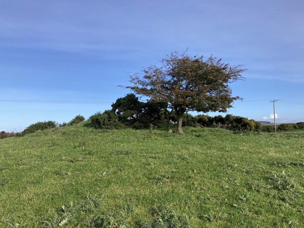
Galla Hill submitted by markj99 on 17th Oct 2022. Galla Hill Mound viewed from S.
(View photo, vote or add a comment)
Log Text: It is probably easier to park at the junction to Culhorn House rather than take your car down a rough single-track farm road. Galla Hill Mound is not spectacular in its current state, but it is a worthwhile trip nonetheless.
Gallop Hole
Date Added: 10th Jan 2023
Site Type: Cairn
Country: Scotland (South Ayrshire)
Visited: Yes on 7th Jan 2023. My rating: Condition 2 Ambience 3 Access 3
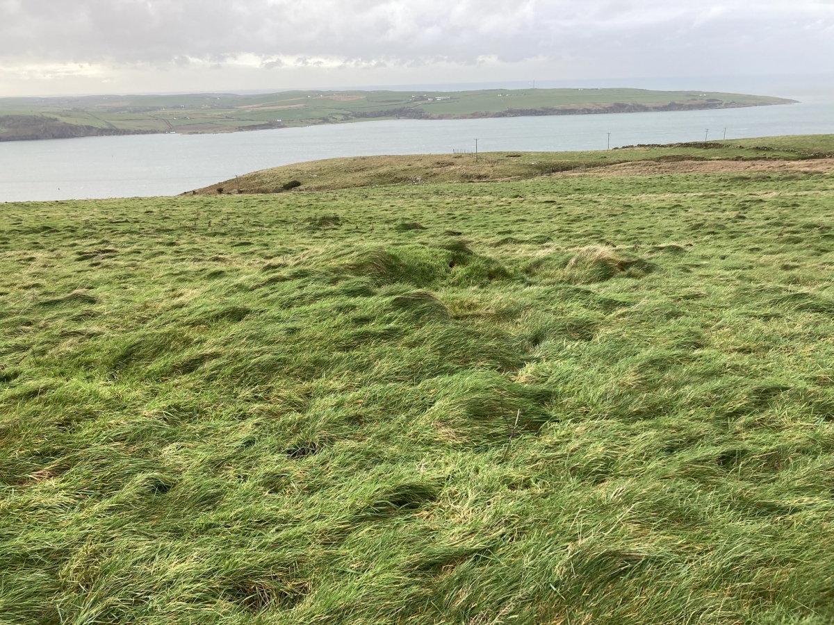
Gallop Hole submitted by markj99 on 8th Jan 2023. Gallop Hole Cairn viewed from E.
(View photo, vote or add a comment)
Log Text: Gallop Hole Cairn is located c. 400 yards S of Haggstone Moor Kerb Cairn. It is in a rough pasture field accessed via a sheepfold adjacent to the Loch Ryan Coastal Path.
Gamelands
Date Added: 20th Jul 2022
Site Type: Stone Circle
Country: England (Cumbria)
Visited: Yes on 1st Mar 2014. My rating: Condition 3 Ambience 4 Access 4
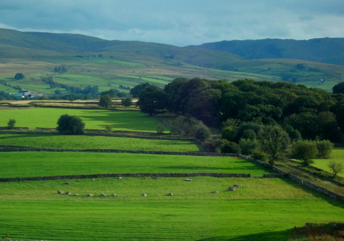
Gamelands submitted by drolaf on 15th Aug 2020. View of Gamelands from just up the hill. From here you can also still see the cairns at Raisbeck.
(View photo, vote or add a comment)
Log Text: This ruined stone circle has a presence greater than its physical footprint. It has no typical standing stones but the N half is well delineated as is the S Arc. The location reminded me of Drummore Stone Circle near Kirkudbright however the remains of Gamelands Stone Circle are more impressive.
