Contributory members are able to log private notes and comments about each site
Sites markj99 has logged. View this log as a table or view the most recent logs from everyone
Fauldinchie E
Date Added: 12th May 2022
Site Type: Misc. Earthwork
Country: Scotland (Dumfries and Galloway)
Visited: Yes on 8th May 2022. My rating: Condition 3 Ambience 4 Access 3
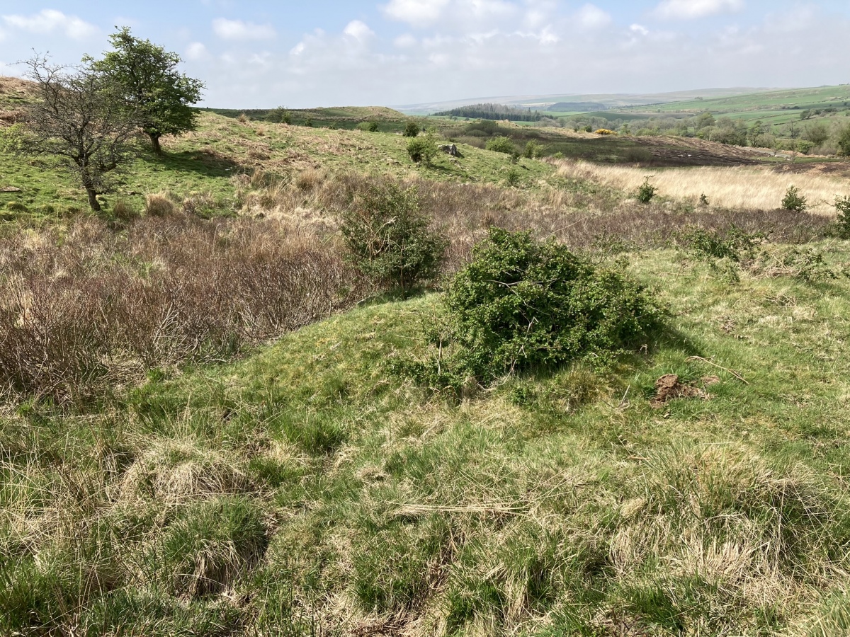
Fauldinchie E submitted by markj99 on 10th May 2022. Fauldinchie E Burnt Mound viewed from E.
(View photo, vote or add a comment)
Log Text: The Southern Upland Way is usually muddy so wellies are recommended. The location of the burnt mound in marshy ground make wellies essential.
Fairies Chest (Embsay Moor)
Date Added: 22nd Jul 2025
Site Type: Natural Stone / Erratic / Other Natural Feature
Country: England (Yorkshire (North))
Visited: Yes on 17th Apr 2009. My rating: Condition 5 Ambience 5 Access 3
Fairies Chest (Embsay Moor) submitted by markj99 on 17th May 2020. The Fairies Chest close up, viewed from NW.
(View photo, vote or add a comment)
Log Text: The Fairy's Chest is a large cuboid boulder which measures c. 10m x 3m x 3m and has unusually flat surfaces. It is c. 20 yards W of the path between the wood and the moor, located c. 1.4 miles along my walking route from Embsay Reservoir Car Park. My walking route is viewable on Fairy's Chest (Embsay Moor).
Er-Grah tumulus
Date Added: 24th Sep 2023
Site Type: Chambered Tomb
Country: France (Bretagne:Morbihan (56))
Visited: Yes on 14th Sep 2023. My rating: Condition 3 Ambience 4 Access 4
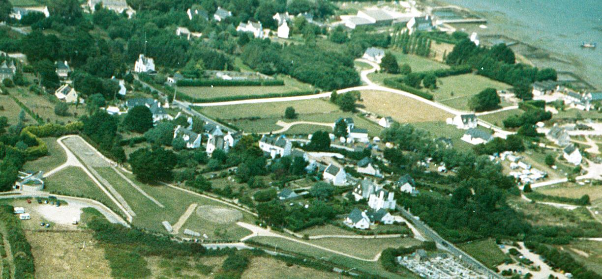
Er-Grah tumulus submitted by JJ on 8th Oct 2003. Er Grah tumulus, Grand Menhir Brisé, and La Table des Marchands, Locmariaquer.
Aerial photo copyright JJ Evendon
(View photo, vote or add a comment)
Log Text: Er-Grah Tumulus is one of Locmariaquer's big three sites. It is only accessible via the Site des Megalithes Visitor Centre for 6 euros. To be fair, there are three impressive monuments, unrestricted visiting time and free parking so what's not to like?
Er-Grah Tumulus has gravitas but it's long thin footprint make it difficult to capture a definitive image. The undoubted focus is the central tomb with its massive capstone, the cherry on the cake. I decided to walk slowly round Er-Grah Tumulus absorbing its antiquity as I strolled.
Er Vil Dolmen
Date Added: 3rd Oct 2023
Site Type: Burial Chamber or Dolmen
Country: France (Bretagne:Morbihan (56))
Visited: Yes on 17th Sep 2023. My rating: Condition 3 Ambience 4 Access 3
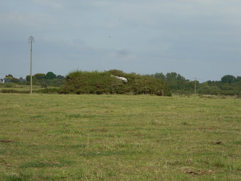
Er Vil dolmen submitted by regina on 26th Oct 2014. Walking on a footpath along the coast it was not possible to get near to the dolmen.
(View photo, vote or add a comment)
Log Text: Dolmen de St Pierre Loperec is in a grass field on the edge of the coast. It is located on a mound in the centre of the field.
Take the Pointe er Ville turn off the Route de Saint-Pierre just after passing through Kerguérec. Park up after c. 300m. The road is restricted to authorised vehicles after this point. Walk S for c. 200m. Take a path heading S for c. 100m. Dolmen de St Pierre Loperec is c. 120m SE in the centre of a grassy field.
Er Lannic
Date Added: 26th Sep 2023
Site Type: Stone Circle
Country: France (Bretagne:Morbihan (56))
Visited: Yes on 15th Sep 2023. My rating: Ambience 3
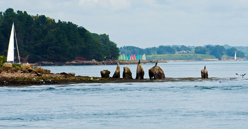
Er Lannic submitted by 43559959 on 15th May 2014. Er Lannic and it's birds.
(View photo, vote or add a comment)
Log Text: I sailed past Er Lannic on the way to Isle de Gavrinis so I suppose that counts. However I was on the starboard of the boat (right-side) so I wasn't able to get a good picture.
Elrig Loch
Date Added: 22nd Apr 2025
Site Type: Crannog
Country: Scotland (Dumfries and Galloway)
Visited: Yes on 21st Apr 2025. My rating: Condition 2 Ambience 3 Access 5
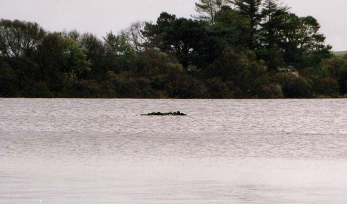
Elrig Loch submitted by vicky on 31st Dec 2002. The Remains of the Crannog in Loch Elrig.
(View photo, vote or add a comment)
Log Text: The car park at the NE end of Elrig Loch has been closed off by a line of boulders but it is possible to park beside them. The crannog is visible as a pile of stones rising 1 foot above the water level. It is not a spectacular site but you can walk to Carlin Stone and Loch Head Cairn from here.
Elrig Cairn
Date Added: 23rd Oct 2023
Site Type: Cairn
Country: Scotland (Dumfries and Galloway)
Visited: Yes on 6th Aug 2023. My rating: Condition 2 Ambience 4 Access 3

Elrig Cairn submitted by markj99 on 6th Aug 2023. Large field clearance stones dumped in northern half of Elrig Cairn.
(View photo, vote or add a comment)
Log Text: Directions to Elrig Cairn: Take the Elrig turn off the A747 Portwilliam road. Follow the road for c. 1.3 miles to a junction with Elrig Farm road at the edge of the village. There is room to park at the junction. Walk c. 400 yards up the road to reach a gate on your left. Follow a winding path N through the field to a gate. Elrig Cairn is c. 100 yards WNW in the adjacent field.
Elburton Cross
Date Added: 14th Nov 2023
Site Type: Ancient Cross
Country: England (Devon)
Visited: Yes on 9th Jun 2023. My rating: Condition 3 Ambience 4 Access 5
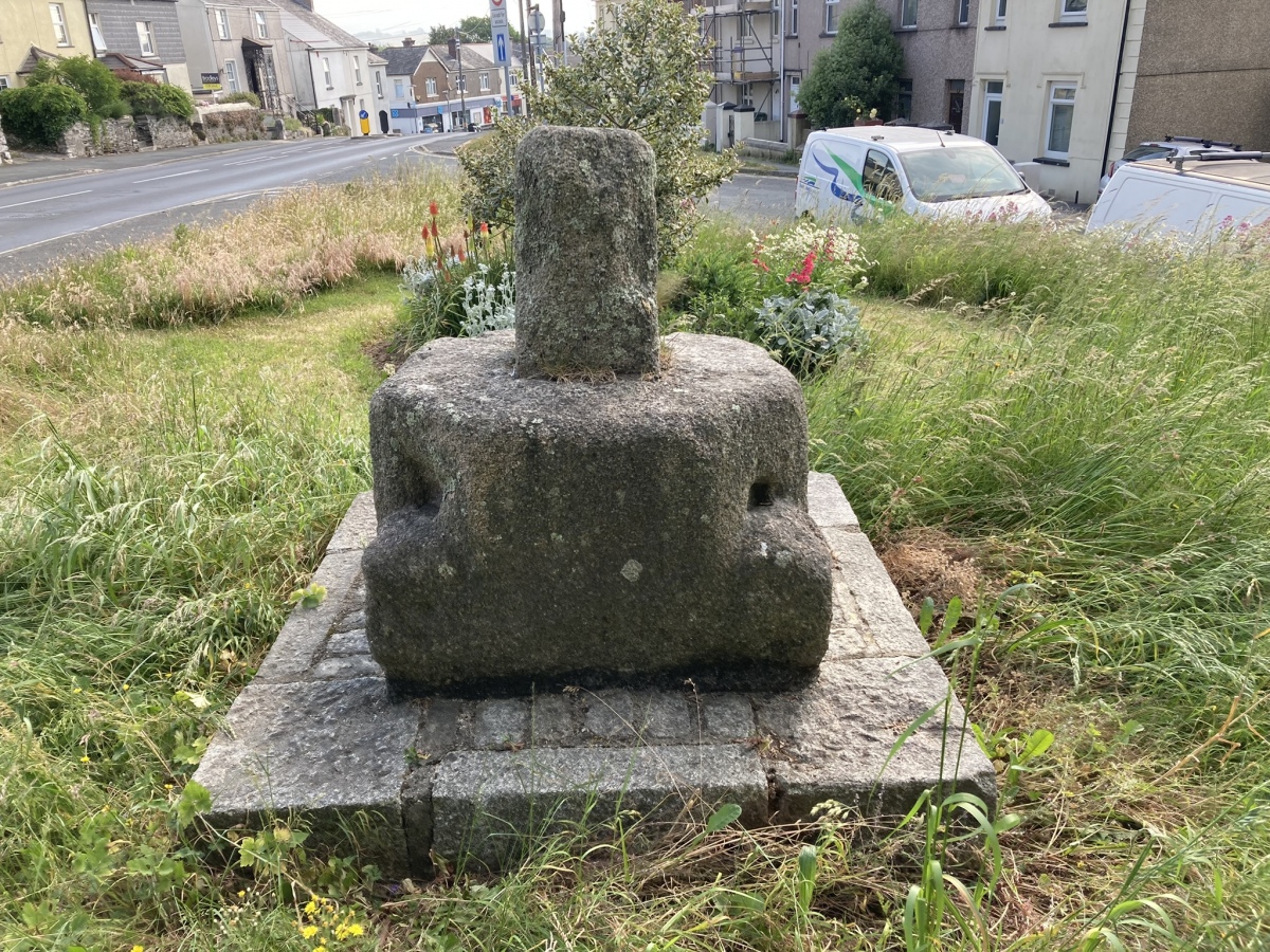
Elburton Cross submitted by markj99 on 18th Jun 2023. Elburton Cross viewed from WSW.
(View photo, vote or add a comment)
Log Text: It is easy to park up and visit this anomalous remnant of a cross in Elburton. Progress has destroyed most of these ancient crosses.
Edderton 1
Date Added: 24th Jun 2025
Site Type: Class I Pictish Symbol Stone
Country: Scotland (Highlands)
Visited: Yes on 26th Apr 2012. My rating: Condition 3 Ambience 4 Access 4
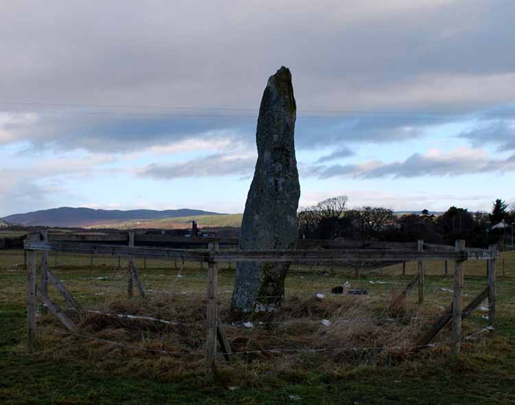
Edderton 1 submitted by NickiMacRae on 19th Sep 2011. The stone in Winter, within it's protective fencing.
(View photo, vote or add a comment)
Log Text: Edderton Pictish Symbol Stone has a boldly carved salmon above a traditional double disc & Z rod carving. The standing stone which bears the carvings is thought to date to the Bronze Age according to Canmore ID 14653.
East Threave
Date Added: 6th Nov 2023
Site Type: Cairn
Country: Scotland (South Ayrshire)
Visited: Yes on 2nd Jul 2023. My rating: Condition 2 Ambience 4 Access 3
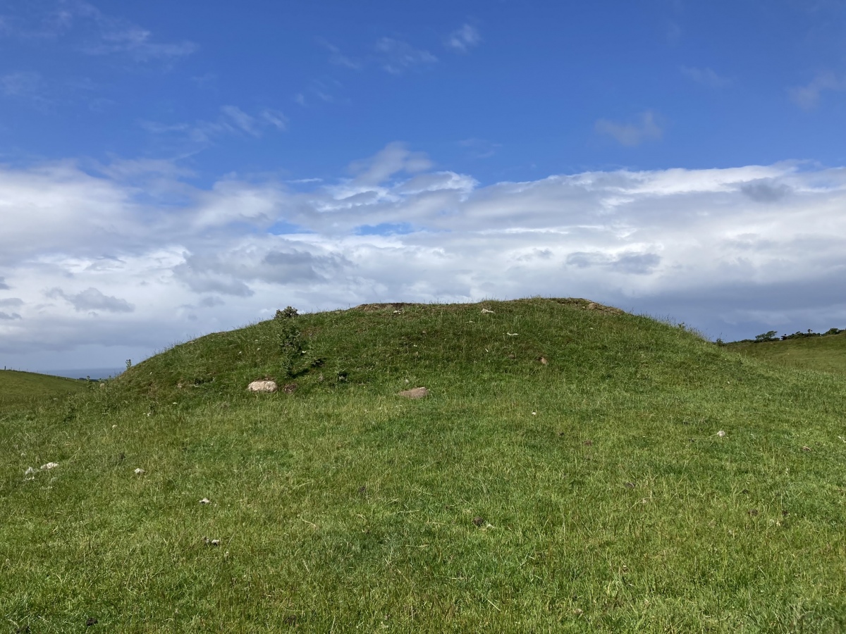
East Threave submitted by markj99 on 6th Jul 2023. East Threave Cairn viewed from E.
(View photo, vote or add a comment)
Log Text: Directions to East Threave: Take the B741 Dailly road off the A77, N of Girvan. After c. 5 miles stay straight on for Maybole at the Dailly junction. Continue towards Maybole for c. 1 mile to a minor road on the left, signed to Kirkoswald. Take this single track road for c. 1.2 miles to a sharp left at a farm road with a cattle grid. After c. 0.3 miles on this farm road bear right onto a rough track. Follow this muddy pot holed track for c. 0.6 miles to a gateway on your left at NS 25887 04226. There is room to park on the right. Make your way though the gate towards East Threave Cairn in the grassy field.
Eagle Cairn (Cardryne)
Date Added: 5th Jul 2024
Site Type: Cairn
Country: Scotland (Dumfries and Galloway)
Visited: Yes on 12th Jun 2024. My rating: Condition 1 Ambience 4 Access 3

Eagle Cairn (Cardryne) submitted by markj99 on 1st Jul 2024. W Half of Eagle Cairn (Cardryne) viewed from NNE.
(View photo, vote or add a comment)
Log Text: The story of Eagle Cairn (Cardryne) is a familiar one: an impressive ancient monument destroyed by farming. The cairn stones were used to build dry stane dykes and the land to grow crops. The site is still impressive and worth a visit. See comments for directions.
Duniewick
Date Added: 1st Aug 2024
Site Type: Hillfort
Country: Scotland (South Ayrshire)
Visited: Yes on 17th Jul 2024. My rating: Condition 2 Ambience 5 Access 3
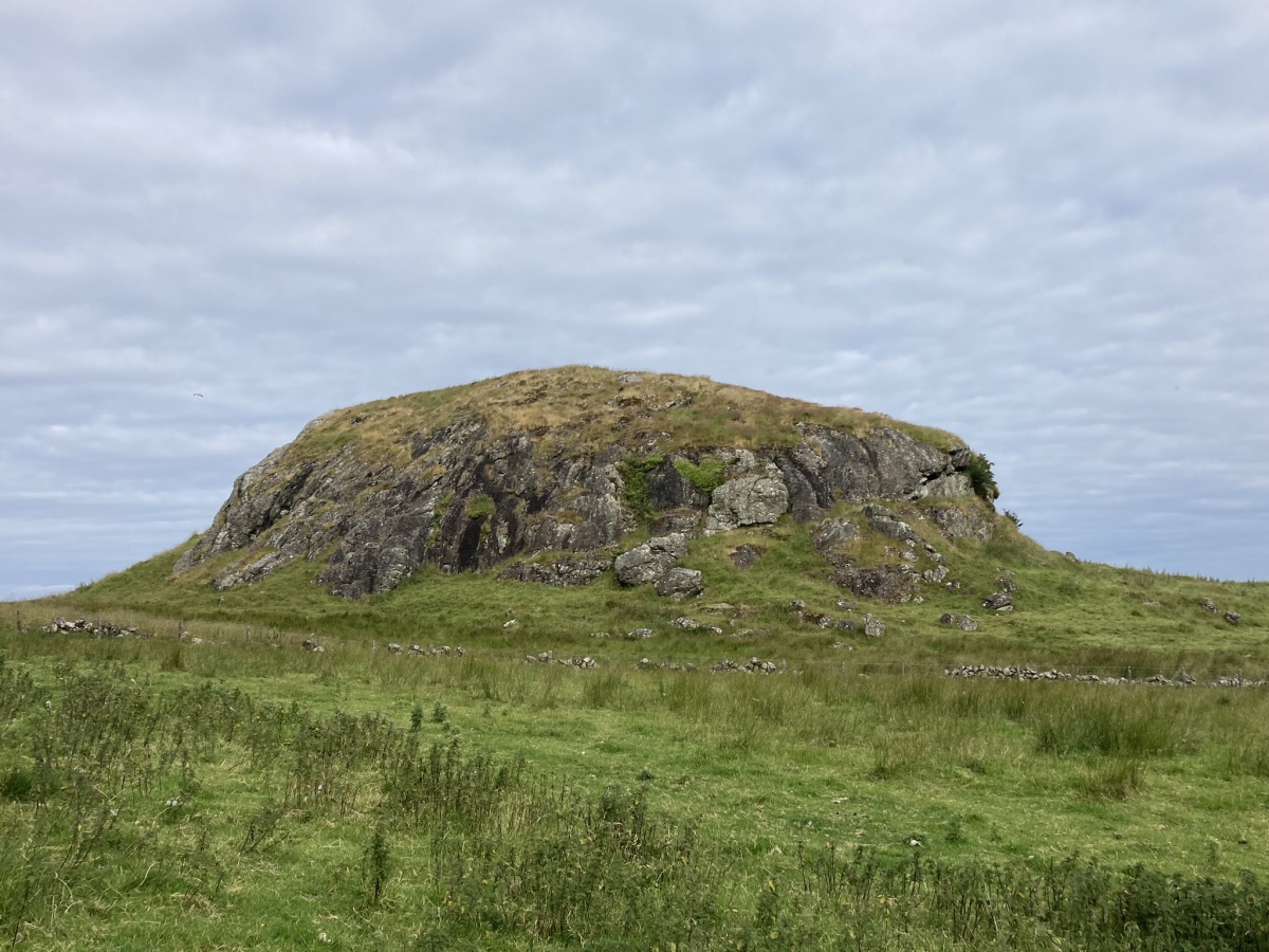
Duniewick submitted by markj99 on 25th Jul 2024. Duniewick Crag viewed from SE.
(View photo, vote or add a comment)
Log Text: Duniewick Hillfort is sited on Duniewick Crag, a large natural knoll on the NW slope of Knockdolian. It is possible to visit Knockdolian Cairn, given enough time and energy.
Dun Mor Vaul
Date Added: 26th Nov 2022
Site Type: Broch or Nuraghe
Country: Scotland (Isle of Tiree)
Visited: Yes on 28th Aug 2018. My rating: Condition 3 Ambience 5 Access 3
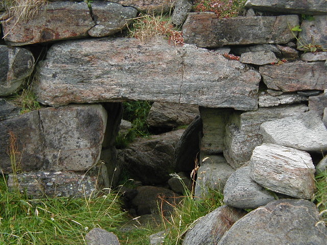
Dun Mor Vaul submitted by Creative Commons on 20th Dec 2011. Entrance to Dun Mor Vaul broch. Copyright Sue Jackson (http://www.geograph.org.uk/profile/259), re-used on Creative Commons licence.
(View photo, vote or add a comment)
Log Text: I visited Dun Mor (Vaul) on the way to Tiree Ringing Stone. Both sites are unmissable!
Dun Ibrig
Date Added: 26th Nov 2022
Site Type: Stone Fort or Dun
Country: Scotland (Isle of Tiree)
Visited: Yes on 29th Aug 2018. My rating: Condition 2 Ambience 4 Access 3
Dun Ibrig submitted by markj99 on 9th Oct 2020. Approaching Dun Ibrig there is more water than land.
(View photo, vote or add a comment)
Log Text: It is ironic that Dun Ibrig is so close to civilisation (Scarinish) and so difficult to access. On my visit the marshland approach was waterlogged and Dun Ibrig was surrounded by a moat of deep water.
Dun Hiader
Date Added: 26th Nov 2022
Site Type: Stone Fort or Dun
Country: Scotland (Isle of Tiree)
Visited: Yes on 27th Aug 2018. My rating: Condition 2 Ambience 4 Access 4
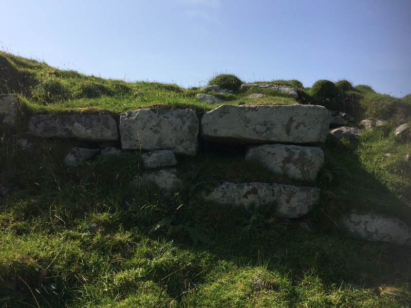
Dun Hiader submitted by markj99 on 6th Sep 2018. Site in Isle of Tiree Scotland
(View photo, vote or add a comment)
Log Text: The stone remains on Dun Hiader are difficult to interpret but, there is no doubt that the steep-sided dun would provide an excellent defensive location.
Dun Heanish
Date Added: 26th Nov 2022
Site Type: Stone Fort or Dun
Country: Scotland (Isle of Tiree)
Visited: Yes on 29th Aug 2018. My rating: Condition 1 Ambience 4 Access 4
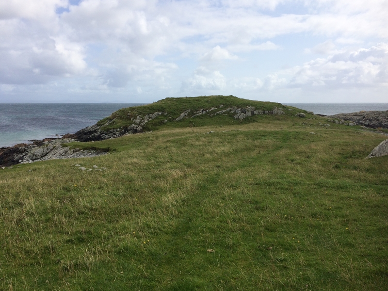
Dun Heanish submitted by markj99 on 10th Sep 2018. Approaching Dun Heanish from W
(View photo, vote or add a comment)
Log Text: There are scant stone remains on Dun Heanish, however the defensive qualities of the mound are obvious.
Dun Bornaskitaig
Date Added: 28th May 2021
Site Type: Broch or Nuraghe
Country: Scotland (Isle of Skye)
Visited: Yes on 27th Jan 2012. My rating: Condition 2 Ambience 4 Access 3
Dun Bornaskitaig submitted by hamilton on 17th Sep 2014. The scant remnants of Dun Bornaskitaig sit atop this eminence, less then 100 metres east of the coastline at Kilmuir on the Trotternish peninsula.
(View photo, vote or add a comment)
Log Text: The remains of the broch on Dun Bornaskitaig are mostly hidden under a grassy bank up to c. 4 feet high round the perimeter of the dun. There are several building constructed from the broch's stones in the vicinity of the dun.
Dun Boraige Moire
Date Added: 26th Nov 2022
Site Type: Broch or Nuraghe
Country: Scotland (Isle of Tiree)
Visited: Yes on 29th Aug 2018. My rating: Condition 2 Ambience 4 Access 3
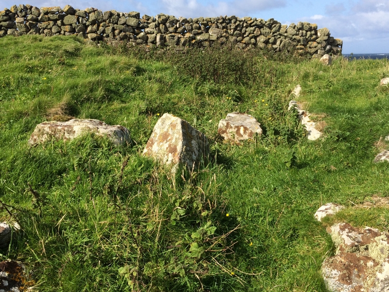
Dun Boraige Moire submitted by markj99 on 12th Sep 2018. Site in Isle of Tiree Scotland
Dun Boraige Moire looking W.
(View photo, vote or add a comment)
Log Text: Dun Boraige Moire is constructed on a natural mound c. 100 yards from the N coast of Tiree. The dun is bisected by a modern stone wall.
Dun Boraige Beag
Date Added: 26th Nov 2022
Site Type: Stone Fort or Dun
Country: Scotland (Isle of Tiree)
Visited: Yes on 29th Aug 2018. My rating: Condition 2 Ambience 4 Access 4
Dun Boraige Beag submitted by markj99 on 13th Oct 2020. Dun Boraige Beag viewed from coastal path looking N.
(View photo, vote or add a comment)
Log Text: Dun Boraige Beag is a low mound with scattered stones on the tidal edge of the N coast of Tiree.
Dun Beag (Vaul)
Date Added: 26th Nov 2022
Site Type: Stone Fort or Dun
Country: Scotland (Isle of Tiree)
Visited: Yes on 28th Aug 2018. My rating: Condition 2 Ambience 4 Access 4
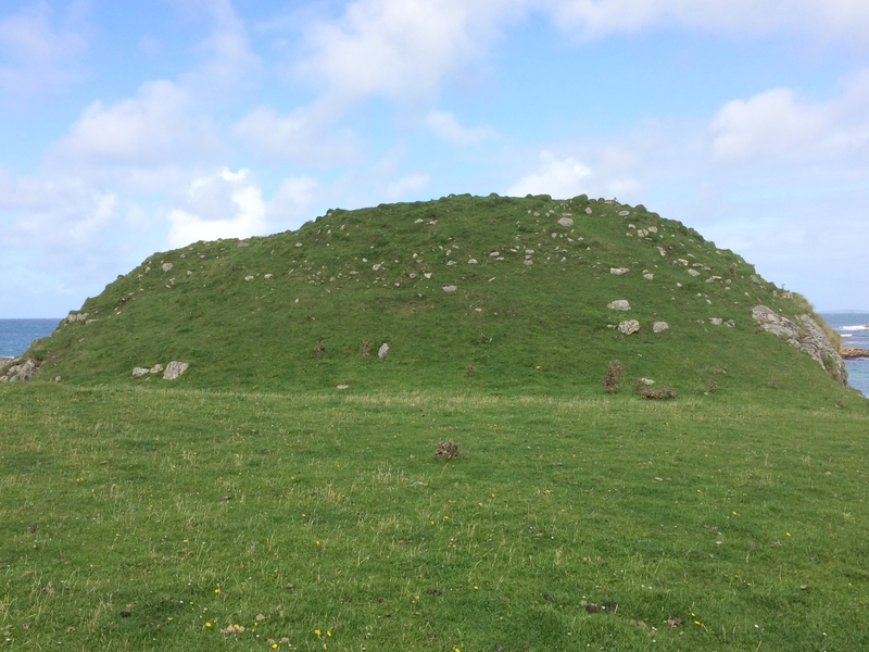
Dun Beag (Vaul) submitted by markj99 on 9th Sep 2018. Dun An Cnap, (Dun Mor, Vaul) N View
(View photo, vote or add a comment)
Log Text: Dun Beag (Vaul) is a nice example of a small, defended settlement, taking advantage of natural contours. It was a bonus along with Tiree Ringing Stone and Dun Mor (Vaul).
