Contributory members are able to log private notes and comments about each site
Sites markj99 has logged. View this log as a table or view the most recent logs from everyone
Barnsallie Fell
Date Added: 17th Nov 2023
Site Type: Cairn
Country: Scotland (Dumfries and Galloway)
Visited: Yes on 9th May 2023. My rating: Condition 2 Ambience 4 Access 3
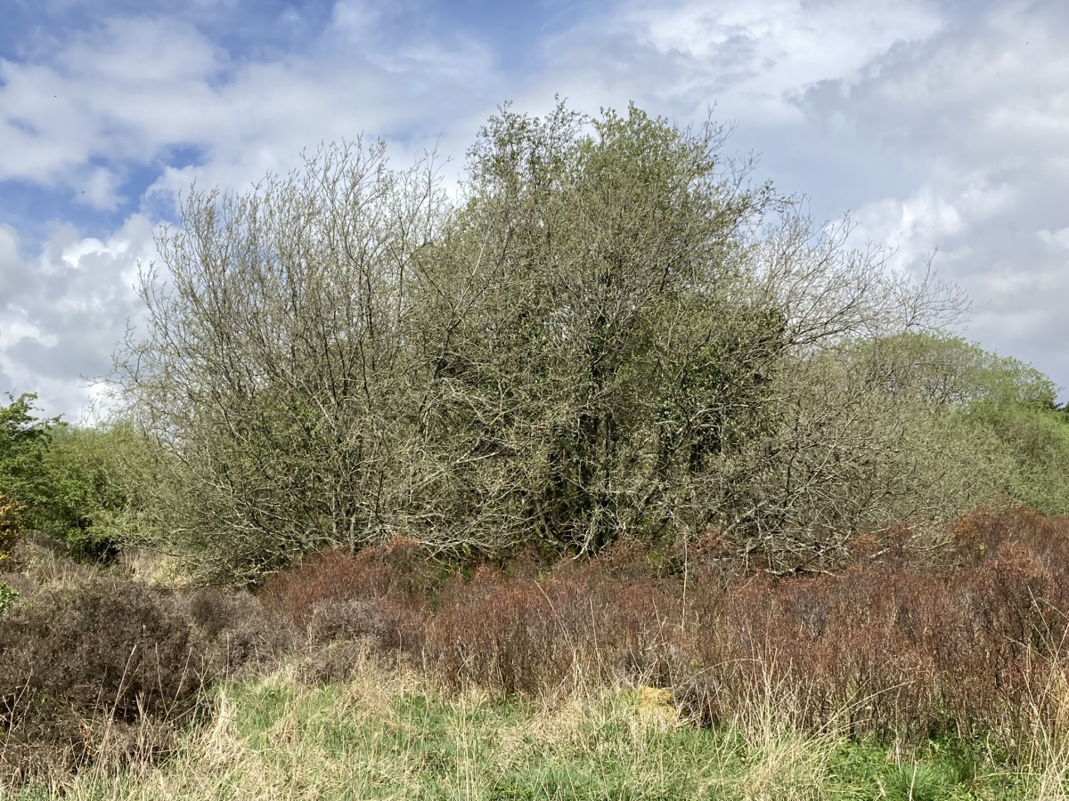
Barnsallie Fell submitted by markj99 on 14th May 2023. Barnsallie Fell Cairn viewed from S.
(View photo, vote or add a comment)
Log Text: Take the A747 Portwilliam turn off the A75 at Glenluce. Follow the road for c. 1.8 miles to reach a left turn signed for Whithorn Way. Stay on this single track road for c. 1 mile to reach a left turn signed for Craigenveoch via a forest track. There is a lay-by on the edge of the loch after c. 100 yards if you want to park up. Continue on foot or by car for c. 0.2 miles to reach a parking place at Knock of Luce Wood. Walk c. 200 yards W along a grass track leading to a dead-end. Take the loch side path for on the left for c. 200 yards to reach NSF Scotland Woodland Garden. Take a path NW starting at the NSF Scotland info board. Head W towards an obvious gap in the stone wall. Wellies are required from this point. Cross a stream then head N parallel to the stone wall through boggy shrubby ground for c. 100 yards to reach Barnsallie Fell Cairn, shrouded in small trees.
Lochrutton Loch
Date Added: 18th Dec 2023
Site Type: Crannog
Country: Scotland (Dumfries and Galloway)
Visited: Yes on 24th May 2023. My rating: Condition 2 Ambience 4 Access 4
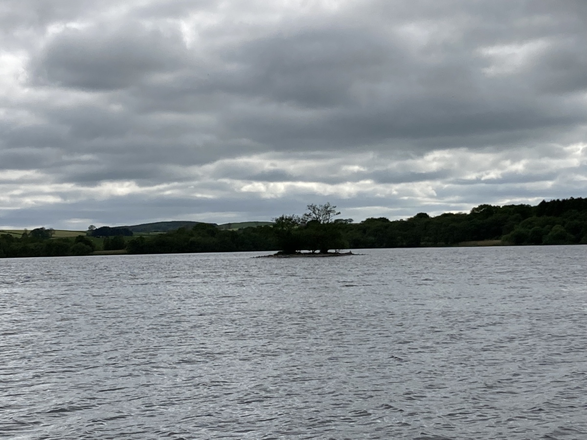
Lochrutton Loch submitted by markj99 on 25th May 2023. Lochrutton Loch Crannog viewed from NE.
(View photo, vote or add a comment)
Log Text: Lochrutton Loch Crannog is not spectacular, however, it is an easy walk on a path to view the crannog from the E bank of the loch.
Directions: Take the Lochfoot turn off the A75 at the Drummore Roundabout c. 3 miles W of Dumfries. After c. 0.7 mile you will reach a crossroads. Continue straight onto an unsigned narrow road for c. 0.3 miles to reach a lay-by on the left. A path for Lochrutton Loch starts here, heading W along a fence. As the path heads through a dry stane dyke turn left, heading S through the field towards a wooded promontory on the loch edge. The path continues W along the promontory for c. 100 yards to the water's edge. The crannog is a small isle in the middle of the loch, populated by several small trees, SW of the promontory. My walk can be viewed on Lochrutton Loch.
Milton Loch SE
Date Added: 18th Dec 2023
Site Type: Crannog
Country: Scotland (Dumfries and Galloway)
Visited: Yes on 22nd Jun 2023. My rating: Condition 2 Ambience 3 Access 3
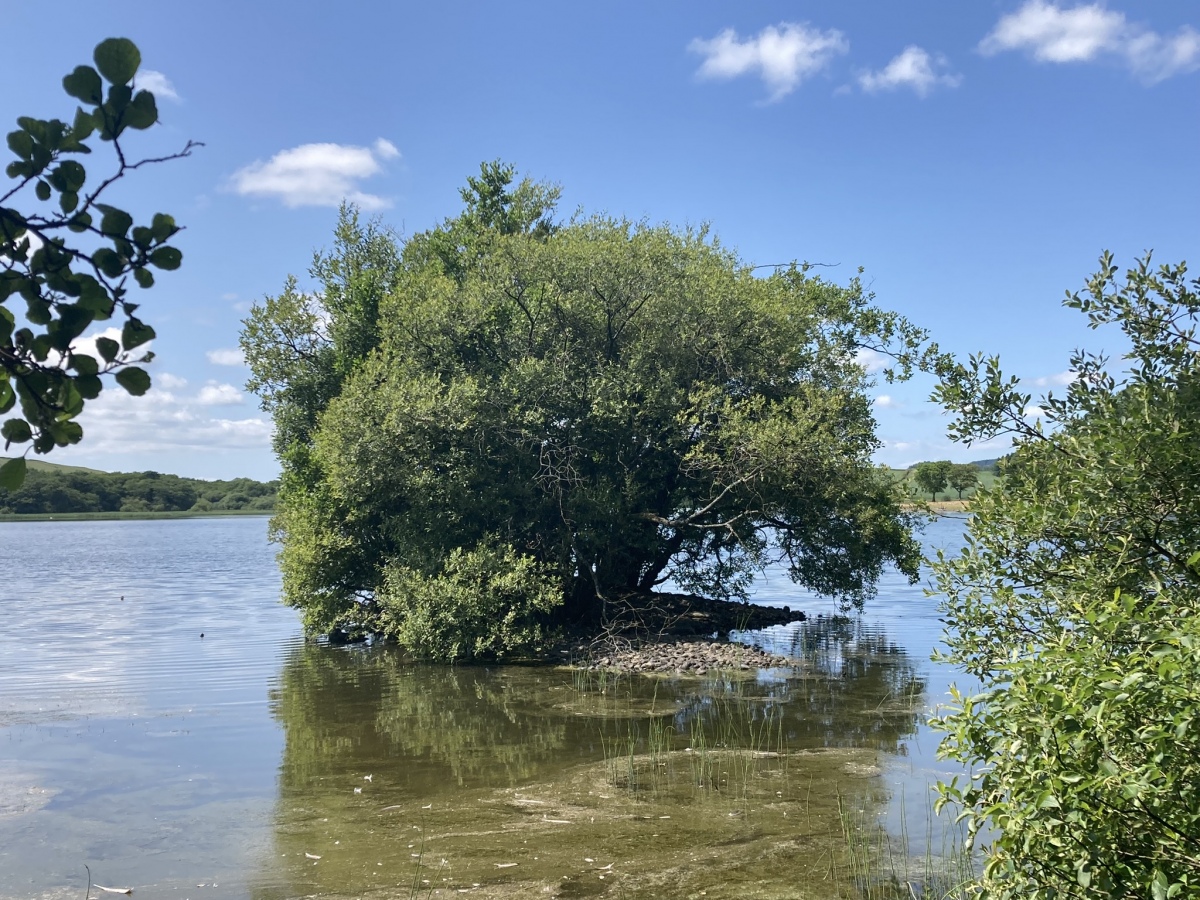
Milton Loch SE submitted by markj99 on 27th Jun 2023. Milton Loch SE Crannog viewed from the east.
(View photo, vote or add a comment)
Log Text: Directions: Take the Park of Brandedleys turn off the A75 on the SW edge of Crocketford. Follow the road for c. 0.8 mile to Auchengibbert Farm. Bear left to Kirkgungeon for c. 0.8 mile to a lay-by at the junction with Little Milton farm road on the left. Park up and walk for c. 250 yards down the farm road to a large lay-by on the left. Head W through the trees to the loch's edge. Milton Loch SE Crannog is c. 20 yards off the E bank. My route is viewable on Milton Loch SE Crannog.
Torhousekie East
Date Added: 24th Dec 2023
Site Type: Stone Row / Alignment
Country: Scotland (Dumfries and Galloway)
Visited: Yes on 7th Feb 2009. My rating: Condition 3 Ambience 4 Access 3
Torhouskie East submitted by DrewParsons on 19th Oct 2010. PID
(View photo, vote or add a comment)
Log Text: Torhousekie Stone Row is located c. 150 yards E of Torhousekie Stone Circle. It consists of three boulders similar in character to those found in Torhousekie Stone Circle. The tallest stone is c. 4 feet high and the row measures c. 15 feet long on a NE-SW axis.
Walk c. 50 yards E from the Torhousekie Stone Circle Parking to a gateway. Torhousekie Stone Row is c. 100 yards NE in the field from here.
Torhousekie Stones East
Date Added: 24th Dec 2023
Site Type: Standing Stones
Country: Scotland (Dumfries and Galloway)
Visited: Yes on 7th Feb 2009. My rating: Condition 1 Ambience 3 Access 3
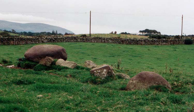
Torhousekie Stones East submitted by vicky on 29th Oct 2002. The ruined stone row near Torhousekie stone circle.
(View photo, vote or add a comment)
Log Text: I am incline to agree with Sandy G's interpretation of this dubious stone row. The scale and random nature of the stones make me interpret this as field clearance stones.
Torhousekie stone circle
Date Added: 24th Dec 2023
Site Type: Stone Circle
Country: Scotland (Dumfries and Galloway)
Visited: Yes on 7th Feb 2009. My rating: Condition 4 Ambience 4 Access 5
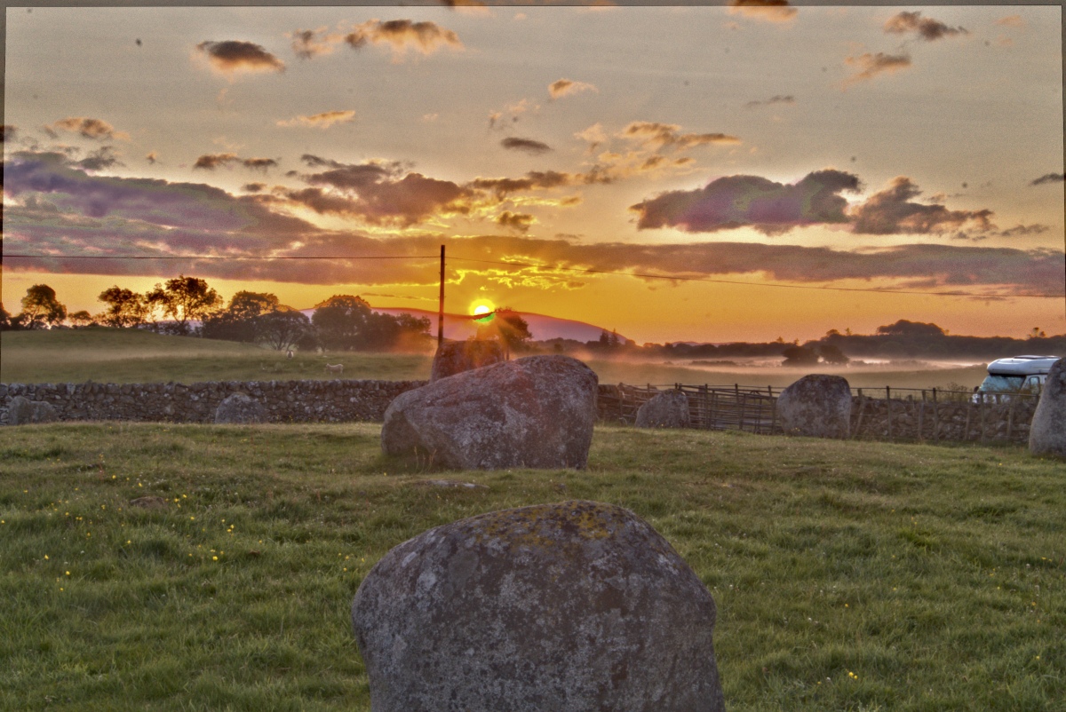
Torhousekie stone circle submitted by Energyman on 27th Jul 2019. First Gleam on the 7th July 04:10 an alignment with 3 stones. On processing this image, I hadn't noticed the 'fairy ring' of mist to the right
(View photo, vote or add a comment)
Log Text: I have visited this stone circle more times than any other ancient site. It was my first glimpse of ancient remains, leading ultimately to my obsession with megalithic sites. My first available digital photos were taken on 07/02/09 though I lost earlier photos due to a hard drive crash.
Torhouseskie South West Standing Stones
Date Added: 24th Dec 2023
Site Type: Standing Stones
Country: Scotland (Dumfries and Galloway)
Visited: Yes on 20th Feb 2020. My rating: Condition 1 Ambience 3 Access 3
Torhouseskie South West Standing Stones submitted by markj99 on 21st Feb 2020. Candidates for Torhosekie Stones SW?
(View photo, vote or add a comment)
Log Text: I conducted a field walk around the Grid Reference given by Canmore but found only flat pasture land. However I noticed two stones around 100 yards SW. They are on a natural knoll with a feed trough. The larger stone is around 5 feet with an irregular X or cross visible on the exposed top surface. The OSGR is NX 38117 56372, approximately 200 yards SW of the circle.
Torhousekie N
Date Added: 25th Dec 2023
Site Type: Cairn
Country: Scotland (Dumfries and Galloway)
Visited: Yes on 30th Jul 2011. My rating: Condition -1 Ambience 3 Access 4
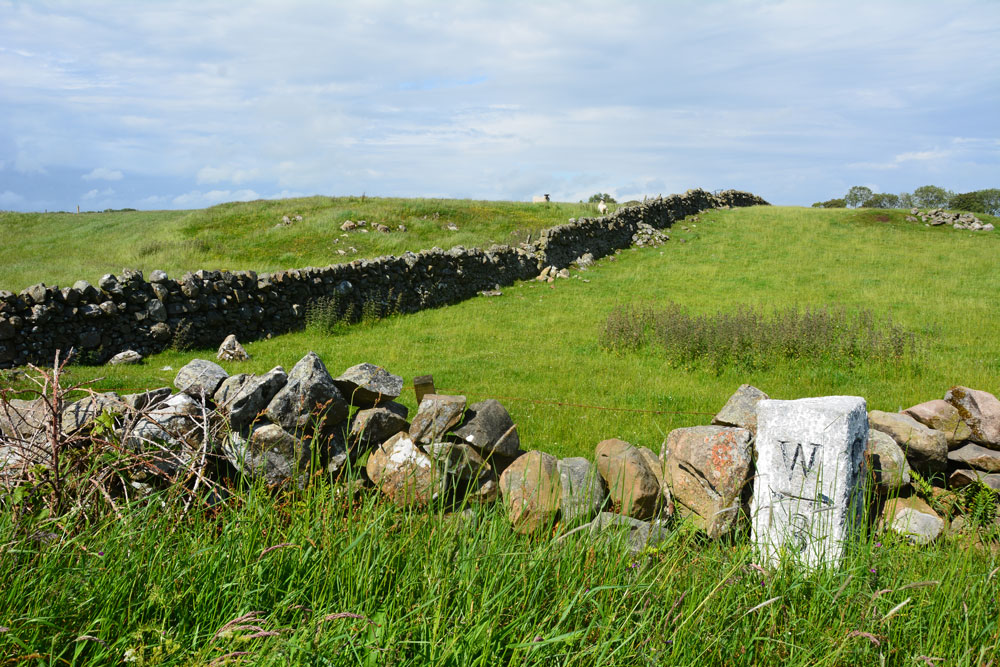
Torhousekie N submitted by Anne T on 25th Jun 2019. Part of this 240ft diameter cairn appears over the dry stone wall as you walk west from the stone circle, on the northern part of the road. Canmore tells us that most of it has been removed to build walls, but it is still a reasonably substantial mound. It lies some 60m north of the milestone. I was left wondering if the area to the centre right was field clearance, or the eastern side of the 240ft circumference cairn.
(View photo, vote or add a comment)
Log Text: I looked for this cairn adjacent to the stone circle. The remains of the stone robbed mound may be bisected by the dry stane dyke, constructed using the cairn stones. I thought the E cluster of stones were field clearance stones.
Torhouse North Side Cairn
Date Added: 25th Dec 2023
Site Type: Cairn
Country: Scotland (Dumfries and Galloway)
Visited: Yes on 30th Jul 2011. My rating: Condition -1 Ambience 3 Access 4
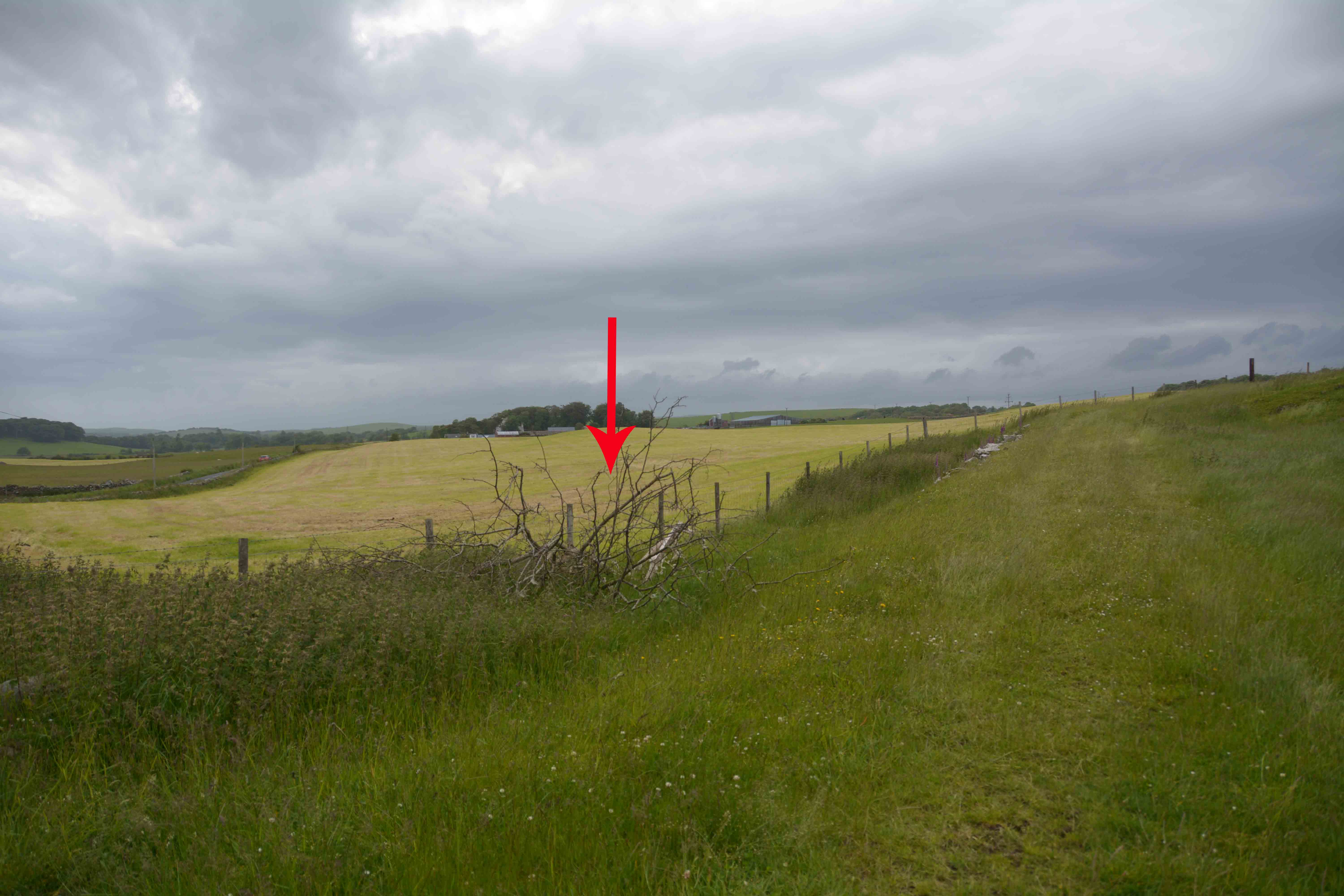
Torhouse North Side Cairn submitted by Anne T on 25th Jun 2019. Armed with the GPS, the location is exactly as described by SumDoood, although we couldn't find any trace of field clearance stones in this field - it appeared to be improved pasture land. The red arrow marks the spot where the cairn should be (although there is a brighter green central 'button' just to its left, behind the fence line which might possibly be it?)
(View photo, vote or add a comment)
Log Text: I scanned the area indicated by the grid reference but like Anne T, I failed to discern the shape of a cairn. Perhaps I need to revisit in twilight like SumDoood.
Torhouse North Cairn
Date Added: 25th Dec 2023
Site Type: Cairn
Country: Scotland (Dumfries and Galloway)
Visited: Yes on 30th Jul 2011. My rating: Condition -1 Ambience 3 Access 4
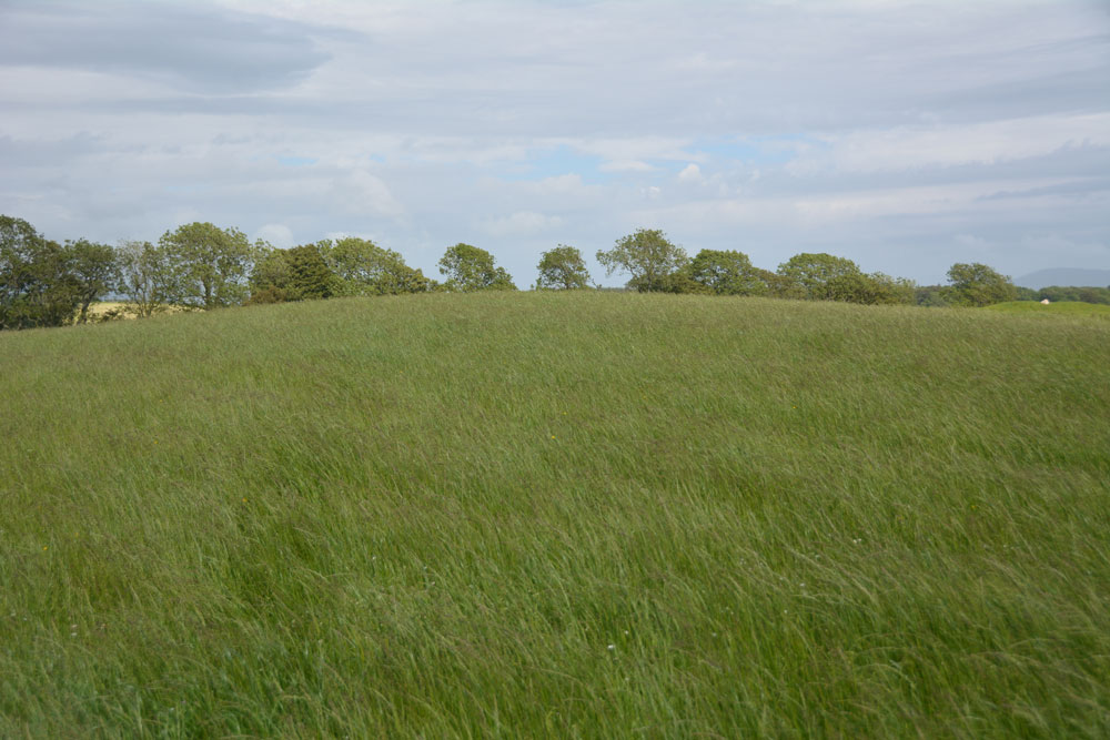
Torhouse North Cairn submitted by Anne T on 26th Jun 2019. Nothing to see now, but the site of the cairn, now destroyed, would have been at the top of the 'hump' of this natural knoll. The stone row is 200m to the north east and the stone circle 180m to the south.
(View photo, vote or add a comment)
Log Text: While visiting Torhouse Stone Circle on a fine day I resolved to investigate the speculative destroyed cairns NW of the circle. I followed a grass track towards the northernmost cairn. The site is now a grassy round hill with no trace of any stones. It is such a shame that this area rich in antiquities has been altered by modern farming.
Torhousekie Farm Cairn
Date Added: 25th Dec 2023
Site Type: Cairn
Country: Scotland (Dumfries and Galloway)
Visited: Yes on 30th Jul 2011. My rating: Condition 3 Ambience 4 Access 3
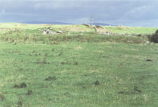
Torhousekie Farm Cairn submitted by cosmic on 17th Oct 2004. Remains of Cairn near Torhousekie Farm
(View photo, vote or add a comment)
Log Text: Torhousekie Farm Cairn has survived in better condition than the E cairns which have been erased from the landscape. The overall footprint of the cairn is intact and there are original stones scattered on the centre of the low mound.
It is possible to park in a gateway on the B733 at NX 3790 5669. Head N across the field for c. 130 yards to a gate in the dry stane dyke. Torhousekie Farm Cairn is c. 70 yards SW of here parallel to the dry stane dyke. My route is viewable on Torhouse Farm Cairn.
Grey Hill (Shennas)
Date Added: 5th Feb 2024
Site Type: Cairn
Country: Scotland (Dumfries and Galloway)
Visited: Yes on 18th Jan 2024. My rating: Condition 2 Ambience 4 Access 1
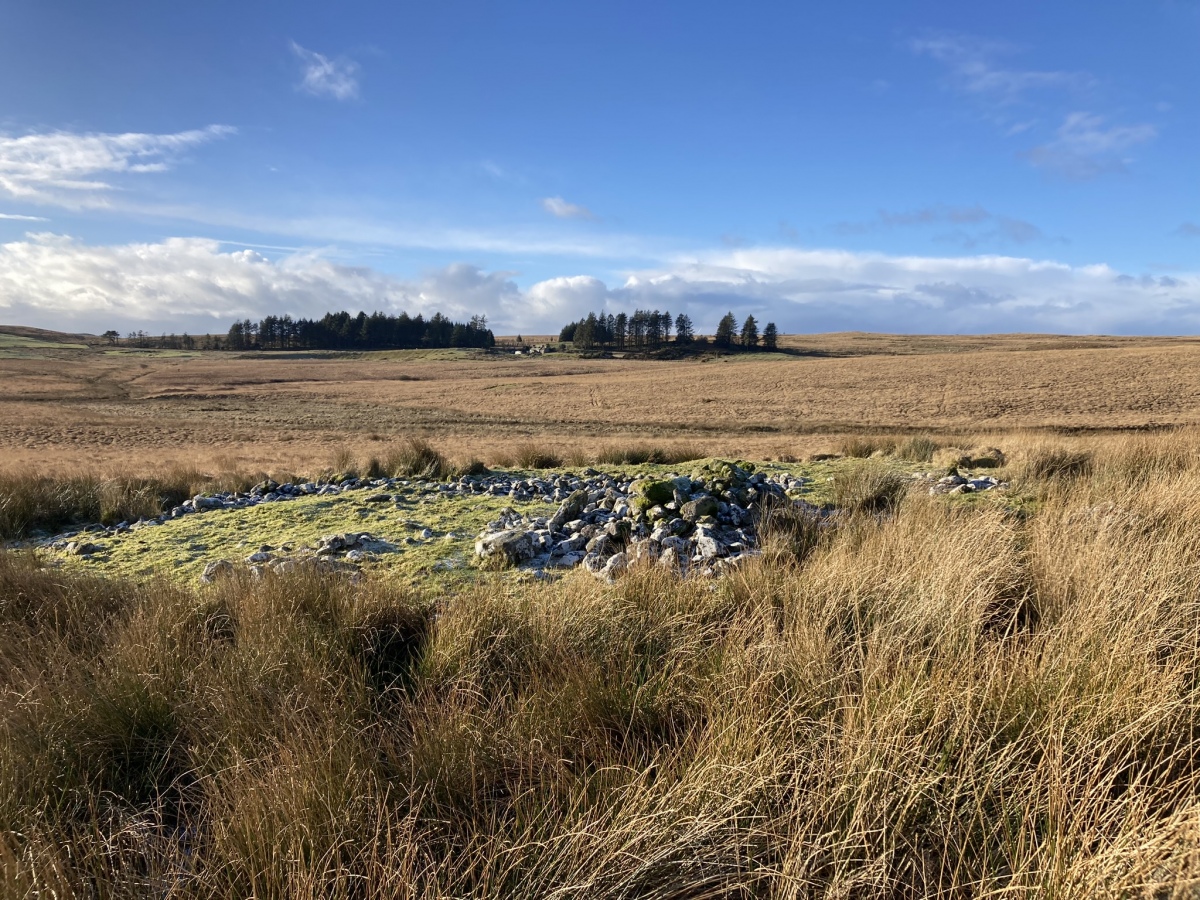
Grey Hill (Shennas) submitted by markj99 on 5th Feb 2024. Grey Hill (Shennas) Cairn viewed from E.
(View photo, vote or add a comment)
Log Text: Grey Hill (Shennas) is not obvious from the narrow lane leading to Lagafatar Lodge. I found the cairn on Canmore Search Map. It is not easy to get to but that only that only made me more determined to find it. My directions are posted in comments on the main page.
Brockloch Fell
Date Added: 9th Feb 2024
Site Type: Cairn
Country: Scotland (Dumfries and Galloway)
Visited: Yes on 28th Jan 2024. My rating: Condition 3 Ambience 4 Access 1
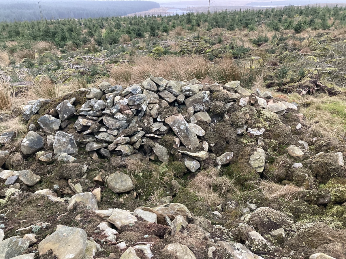
Brockloch Fell submitted by markj99 on 8th Feb 2024. SE Half of Brockloch Fell Cairn.
(View photo, vote or add a comment)
Log Text: It may be only a 4 mile walk there and back to the Brockloch Fell Cairn, however its location in an isolated forest surrounded by difficult terrain make this a nightmare to find. Wellies are essential for a burn crossing and GPS navigation strongly recommended. There were several trees partially blocking access on the forest track and narrow forest lane on my visit. My route can be followed on Brockloch Fell Cairn.
Kilfeddar Farm
Date Added: 9th Feb 2024
Site Type: Cairn
Country: Scotland (Dumfries and Galloway)
Visited: Yes on 1st Feb 2024. My rating: Condition 2 Ambience 4 Access 3
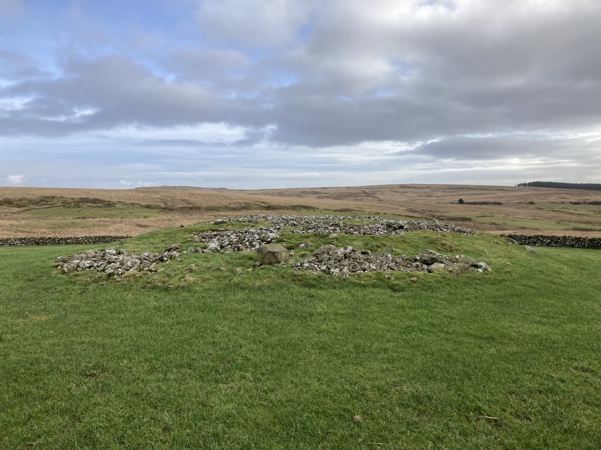
Kilfeddar Farm submitted by markj99 on 9th Feb 2024. Kilfeddar Farm Cairn viewed from W.
(View photo, vote or add a comment)
Log Text: There are three cairns accessed via the path to Kilfeddar Farm: Barlure Cairn, Altigoukie Burn Cairn and Kilfeddar Farm Cairn. See individual site pages for details. The path is muddy so wellies are recommended.
Drumanwherran S Cairn Cemetery
Date Added: 18th Feb 2024
Site Type: Cairn
Country: Scotland (Dumfries and Galloway)
Visited: Yes on 28th Jan 2024. My rating: Condition 2 Ambience 4 Access 1
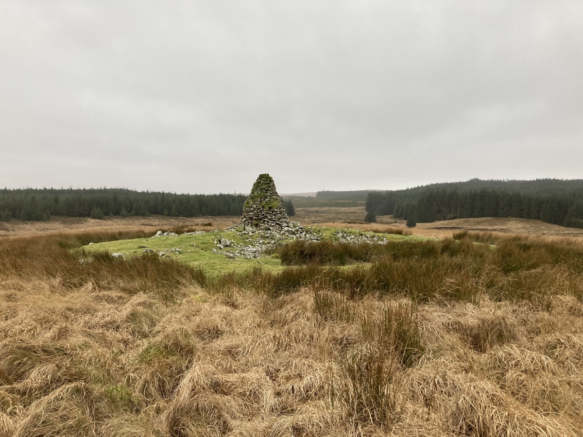
Drumanwherran S Cairn Cemetery submitted by markj99 on 14th Feb 2024. Drumanwherran S Cairn (Canmore ID 61935) viewed from N.
(View photo, vote or add a comment)
Log Text: I started my exploration of Drumanwherran S Cairns on 28/01/24 following a forest track onto Drumanwherran Moor. I found Canmore ID 61893, a small hollow covered in rushes then heading N to the obvious Shepherds Cairn at Canmore ID 61935. I then headed S over difficult boggy ground to Brockloch Cairn.
Drumanwherran S Cairn Cemetery
Date Added: 18th Feb 2024
Site Type: Cairn
Country: Scotland (Dumfries and Galloway)
Visited: Yes on 10th Feb 2024. My rating: Condition 2 Ambience 4 Access 1

Drumanwherran S Cairn Cemetery submitted by markj99 on 14th Feb 2024. Drumanwherran S Cairn (Canmore ID 61935) viewed from N.
(View photo, vote or add a comment)
Log Text: My second visit to Drumwherran S Cairn Cemetery was informed by further research on Canmore. I found Canmore ID 61892 and Canmore ID 61894 by following directions given on Canmore. I have posted my route on the main page.
Altigoukie Burn Cairn
Date Added: 24th Feb 2024
Site Type: Cairn
Country: Scotland (Dumfries and Galloway)
Visited: Yes on 1st Feb 2024. My rating: Condition 2 Ambience 4 Access 1
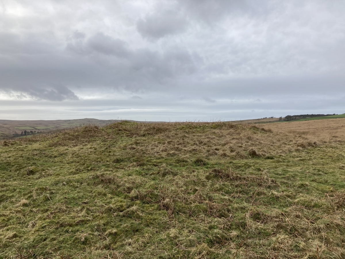
Altigoukie Burn Cairn submitted by markj99 on 10th Feb 2024. Altigoukie Burn Cairn viewed from E.
(View photo, vote or add a comment)
Log Text: I saw Altigoukie Burn Cairn on OS Mapping, however, actually reaching the cairn was no picnic. The cairn is a green spot in open moorland, accessed via a muddy track through Barlure farm. Wellies and GPS Navigation are required to follow my route on Altigoukie Burn Cairn and Burnt Mound.
Altigoukie Burn Burnt Mound
Date Added: 24th Feb 2024
Site Type: Misc. Earthwork
Country: Scotland (Dumfries and Galloway)
Visited: Yes on 1st Feb 2024. My rating: Condition 1 Ambience 3 Access 1

Altigoukie Burn Burnt Mound submitted by markj99 on 10th Feb 2024. Altigoukie Burn Burnt Mound viewed from NE.
(View photo, vote or add a comment)
Log Text: If you are going to visit Altigoukie Burn Cairn it is possible to visit Altigoukie Burn Burnt Mound. The grassy mound on the S bank of Altigoukie Burn is difficult to discern in situ. My route can be viewed on Altigoukie Burn Cairn and Burnt Mound.
Claywarnies Cairn
Date Added: 26th Feb 2024
Site Type: Cairn
Country: Scotland (Dumfries and Galloway)
Visited: Yes on 10th Feb 2024. My rating: Condition 2 Ambience 4 Access 1

Claywarnies Cairn submitted by markj99 on 14th Feb 2024. Stone Structure in W Half of Claywarnies Cairn.
(View photo, vote or add a comment)
Log Text: Claywarnies cairn is secreted in forestry c. 1.5 miles NW of Penwhirn Reservoir. The first mile is a forest track suitable for a mountain bike. The second half of the journey involves forest rides, stream crossings and boggy moorland. Wellies and GPS Navigation are strongly recommended.
Friar's Kirk NW
Date Added: 27th Feb 2024
Site Type: Cairn
Country: Scotland (Dumfries and Galloway)
Visited: Yes on 11th Feb 2024. My rating: Condition 2 Ambience 4 Access 1
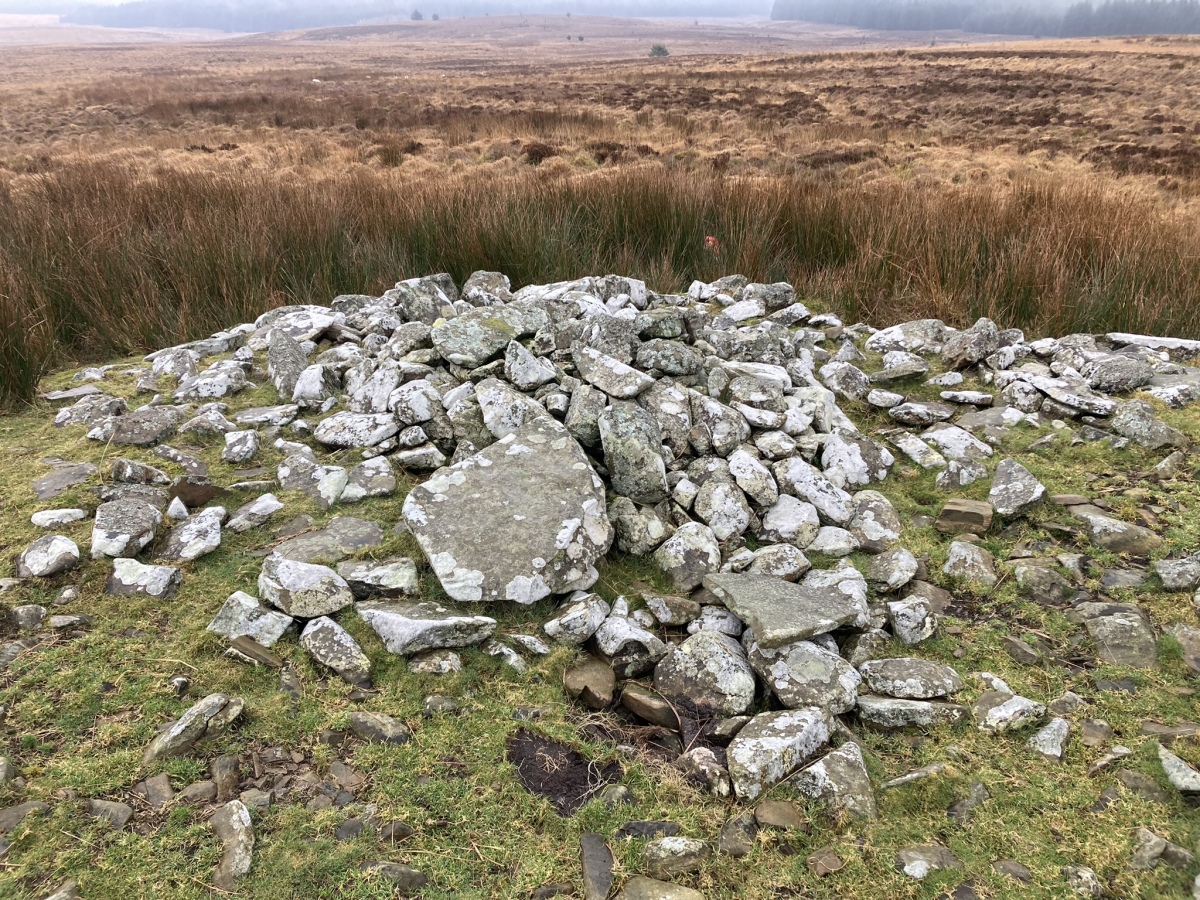
Friar's Kirk NW submitted by markj99 on 16th Feb 2024. S Half of Friar's Kirk NW Cairn
(View photo, vote or add a comment)
Log Text: Friar's Kirk ruin is located c. 0.6 miles NNW of Drumanwherran Moor in open moorland. Friar's Kirk SE and NW cairns are located NW of the ruined enclosure. The route to the cairns crosses two streams and boggy land: wellies are recommended. GPS navigation is necessary to find the isolated cairns.
