Contributory members are able to log private notes and comments about each site
Sites markj99 has logged. View this log as a table or view the most recent logs from everyone
Elrig Cairn
Date Added: 23rd Oct 2023
Site Type: Cairn
Country: Scotland (Dumfries and Galloway)
Visited: Yes on 6th Aug 2023. My rating: Condition 2 Ambience 4 Access 3

Elrig Cairn submitted by markj99 on 6th Aug 2023. Large field clearance stones dumped in northern half of Elrig Cairn.
(View photo, vote or add a comment)
Log Text: Directions to Elrig Cairn: Take the Elrig turn off the A747 Portwilliam road. Follow the road for c. 1.3 miles to a junction with Elrig Farm road at the edge of the village. There is room to park at the junction. Walk c. 400 yards up the road to reach a gate on your left. Follow a winding path N through the field to a gate. Elrig Cairn is c. 100 yards WNW in the adjacent field.
Cairnhouse W
Date Added: 23rd Oct 2023
Site Type: Cairn
Country: Scotland (Dumfries and Galloway)
Visited: Yes on 11th Aug 2023. My rating: Condition 3 Ambience 4 Access 3

Cairnhouse W submitted by markj99 on 12th Aug 2023. Centre of Cairnhouse W Cairn viewed from south.
(View photo, vote or add a comment)
Log Text: It is tricky to exactly define my route to Cairnhouse W Cairn. I parked in a lay-by at NX 41787 57920. I walked W across the field to a track running SW on the other side of the stone wall. Follow this track to the cairn.
Mochrum Fell (Elrig)
Date Added: 24th Oct 2023
Site Type: Cairn
Country: Scotland (Dumfries and Galloway)
Visited: Yes on 4th Aug 2023. My rating: Condition 3 Ambience 5 Access 3
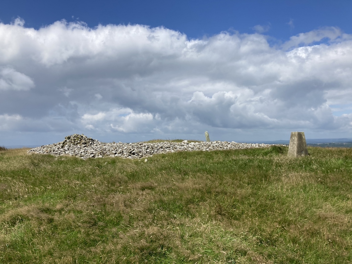
Mochrum Fell (Elrig) submitted by markj99 on 5th Aug 2023. Mochrum Fell (Elrig) Cairn viewed from east.
(View photo, vote or add a comment)
Log Text: Directions to Mochrum Fell (Elrig): Take the A747 Port William turn off the A75 at Glenluce. Stay on the A747 for c. 6.6 miles to an unsigned left turn onto the B7005 at NX 27136 49953. Travel on the B7005 for c. 2.2 miles to reach a minor road signed for Kirkcowan. Continue on the B7005 for c. 300 yards to a track opposite Culshabbin Schoolhouse at NX 30667 51023. There is room to park up here. Follow the track S for c. 0.5 mile. Turn right at NX 3104 5036 onto a vague path heading W through rough ground. Stay on this path heading uphill to the obvious summit of Mochrum Fell. The cairn is on the summit of Mochrum Fell. My route is viewable on Mochrum Fell (Elrig) Cairn.
Barnshangan W
Date Added: 28th Oct 2023
Site Type: Cairn
Country: Scotland (Dumfries and Galloway)
Visited: Yes on 25th Oct 2023. My rating: Condition 1 Ambience 3 Access 3
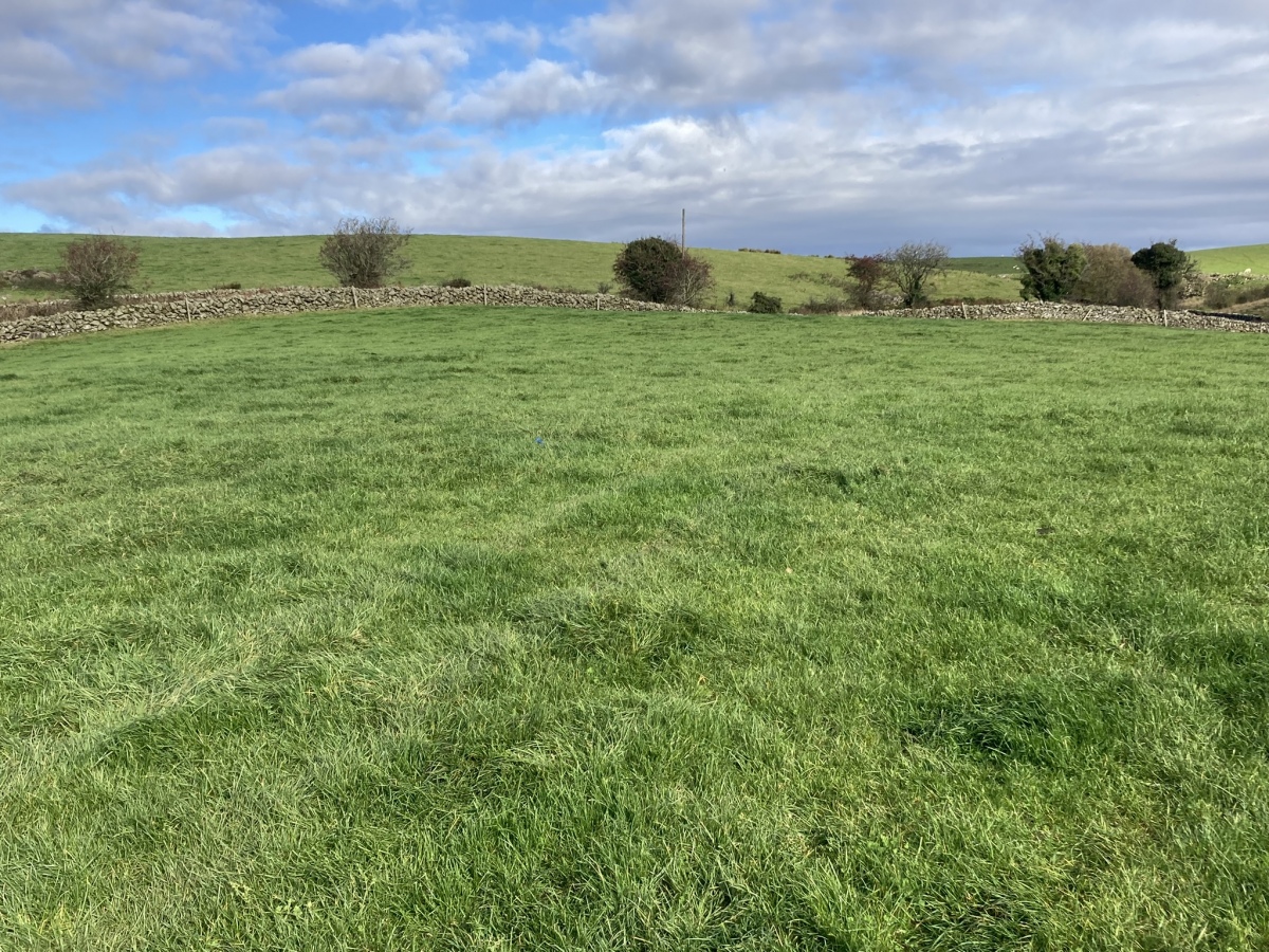
Barnshangan W submitted by markj99 on 26th Oct 2023. Barnshangan W Cairn viewed from S.
(View photo, vote or add a comment)
Log Text: Take the W turn to Glenluce off the A75. Turn left for New Luce after 0.2 mile. Stay on this road for c. 5 miles to reach New Luce. Park on Main Street. Walk straight on at the top of Main Street for c. 300 yards to reach Barnshangan Farm track. Follow the farm track for c. 0.6 mile to a gate on the right at NX 18156 65377. Head S into the field for 75 yards then SE towards a gate into an adjacent field. Barnshangan W Cairn is c. 75 yards NE from here. Return to the farm track then walk c. 400 yards E to NX 18429 65423. Barnshangan E Cairn is c. 50 yards to the right, next to a dry stane dyke.
Court Cairn, The May
Date Added: 13th Jul 2025
Site Type: Cairn
Country: Scotland (Dumfries and Galloway)
Visited: Yes on 27th Sep 2020. My rating: Condition 1 Ambience 3 Access 3
Court Cairn, The May submitted by markj99 on 4th Oct 2020. Court Cairn, The May in situ.
(View photo, vote or add a comment)
Log Text: Directions to Court Cairn (The May): Take the A747 Port William turn off the A75 at Glenluce. Stay on the A747 for c. 6.6 miles to an unsigned left turn onto the B7005 at NX 27136 49953. Travel on the B7005 for c. 2.2 miles to reach a minor road signed for Kirkcowan. Court Cairn (The May) is 0.4 miles on the left at The May farm. There is room to park in a gateway adjacent to the field.
Lang Riggs (The May)
Date Added: 3rd Nov 2023
Site Type: Cairn
Country: Scotland (Dumfries and Galloway)
Visited: Yes on 16th Jul 2023. My rating: Condition 2 Ambience 4 Access 3

Lang Riggs (The May) submitted by markj99 on 19th Jul 2023. Lang Riggs (The May) Cairn viewed from the east.
(View photo, vote or add a comment)
Log Text: There are often Beef Cattle in the field which surrounds Lang Riggs Cairn. It took several visits before I was able to access the cairn.
Lang Riggs (The May)
Date Added: 3rd Nov 2023
Site Type: Cairn
Country: Scotland (Dumfries and Galloway)
Visited: Yes on 16th Jul 2023. My rating: Condition 2 Ambience 4 Access 3

Lang Riggs (The May) submitted by markj99 on 19th Jul 2023. Lang Riggs (The May) Cairn viewed from the east.
(View photo, vote or add a comment)
Log Text: There are often Beef Cattle in the field which surrounds Lang Riggs Cairn. It took several visits before I was able to access the cairn.
The May Cairn
Date Added: 3rd Nov 2023
Site Type: Cairn
Country: Scotland (Dumfries and Galloway)
Visited: Yes on 16th Jul 2023. My rating: Condition 2 Ambience 3 Access 3
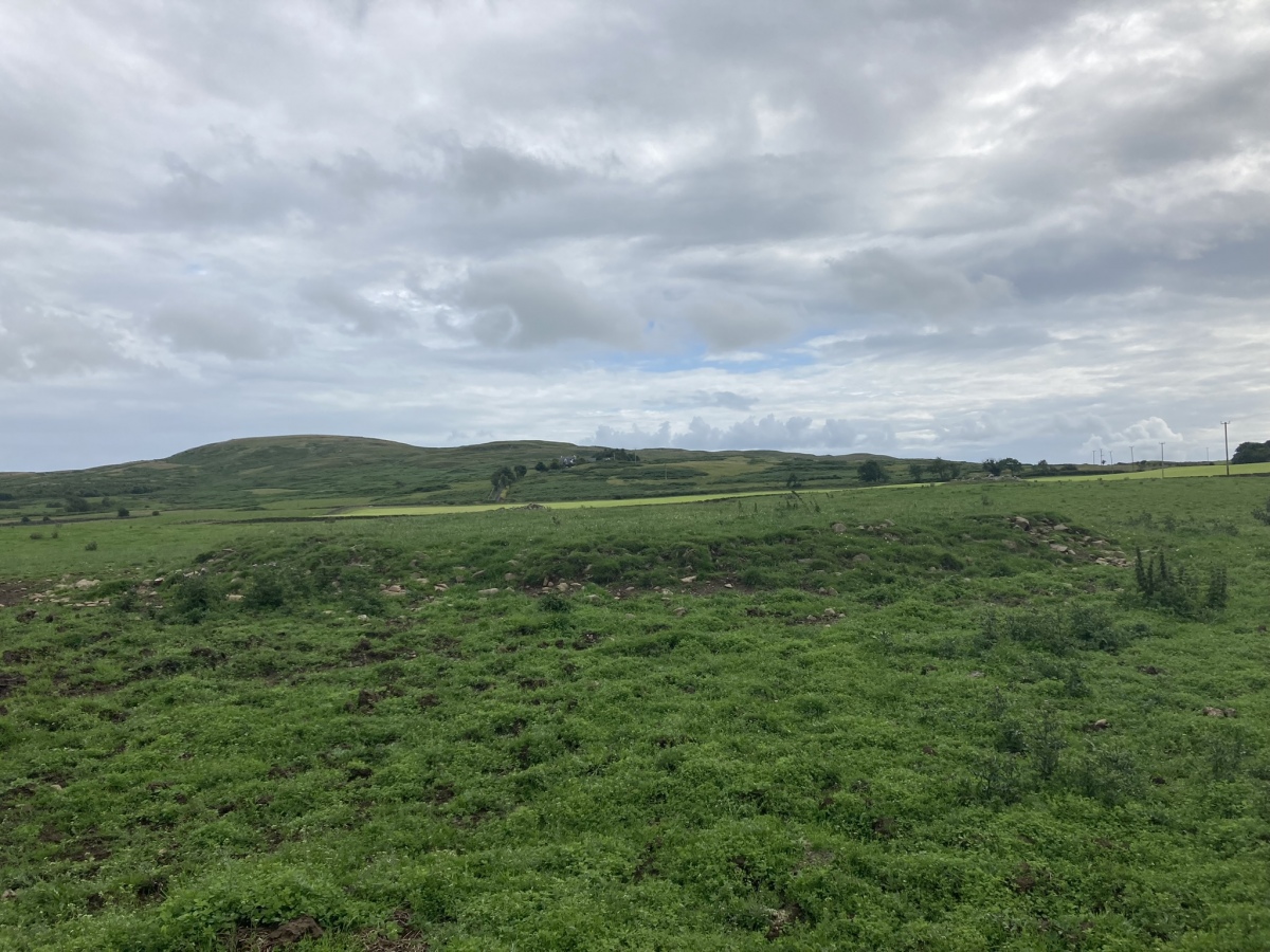
The May Cairn submitted by markj99 on 20th Jul 2023. The May Cairn viewed from the north.
(View photo, vote or add a comment)
Log Text: There are often Beef Cattle in the field which surrounds The May Cairn. It took several visits before I was able to access the cairn.
Airyolland W Cairn
Date Added: 28th Oct 2024
Site Type: Cairn
Country: Scotland (Dumfries and Galloway)
Visited: Yes on 3rd Dec 2022. My rating: Condition 3 Ambience 5 Access 4
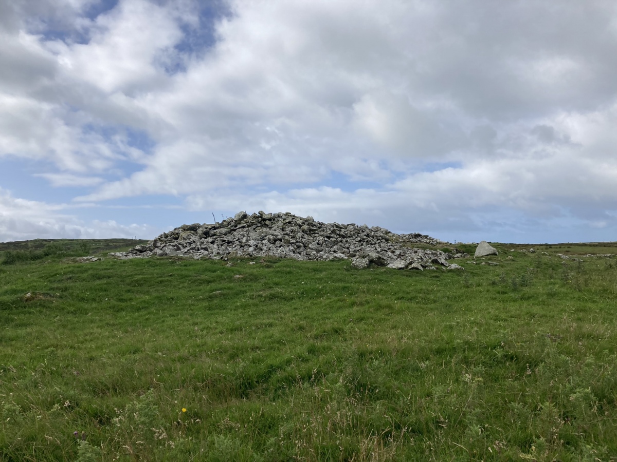
Airyolland W Cairn submitted by markj99 on 1st Aug 2023. Airyolland W Cairn viewed from north.
(View photo, vote or add a comment)
Log Text: Directions to Airyolland W Cairn: Take the Elrig turn off the A747. Follow the road through Elrig for c. 1.9 miles to reach a left turn onto a dead-end lane signed for Barhobble Church Site. Travel c. 140 yards down the lane to a concrete lay-by on the left. Walk c. 400 yards NW to a gateway on the left. A green lane heading W starts here. Follow the green lane for c. 400 yards to reach a gate. Continue on the lane for c. 130 yards to a double gateway on the left. Go through the SW gate. Follow the stone wall S for c. 370 yards to reach Airyolland E Cairn, 15 yards W of the wall. Airyolland W Cairn is c. 50 yards SW of Airyolland E Cairn. My walking route is viewable on Airyolland Cairns.
Airyolland E Cairn
Date Added: 28th Oct 2024
Site Type: Cairn
Country: Scotland (Dumfries and Galloway)
Visited: Yes on 3rd Dec 2022. My rating: Condition 2 Ambience 5 Access 3

Airyolland E Cairn submitted by markj99 on 31st Jul 2023. Airyolland E Cairn viewed from north.
(View photo, vote or add a comment)
Log Text: Directions to Airyolland W Cairn: Take the Elrig turn off the A747. Follow the road through Elrig for c. 1.9 miles to reach a left turn onto a dead-end lane signed for Barhobble Church Site. Travel c. 140 yards down the lane to a concrete lay-by on the left. Walk c. 400 yards NW to a gateway on the left. A green lane heading W starts here. Follow the green lane for c. 400 yards to reach a gate. Continue on the lane for c. 130 yards to a double gateway on the left. Go through the SW gate. Follow the stone wall S for c. 370 yards to reach Airyolland E Cairn, 15 yards W of the wall. Airyolland W Cairn is c. 50 yards SW of Airyolland E Cairn. My walking route is viewable on Airyolland Cairns.
Corwall E
Date Added: 30th Oct 2023
Site Type: Cairn
Country: Scotland (Dumfries and Galloway)
Visited: Yes on 24th Jul 2023. My rating: Condition 2 Ambience 4 Access 3

Corwall E submitted by markj99 on 25th Jul 2023. Corwall E Cairn viewed from the south.
(View photo, vote or add a comment)
Log Text: An old farm track winds up from the coastal road, A747 to Port William, at Chapel Finian. There is a large grassy car park at NX 2794 4876, on the right of the A747. Walk NE along the road for c. 175 yards to reach a wooden gate on your right, c. 40 yards SE of Chapel Finian, at NX 2786 4887. A vague farm track starts here. The track is overgrown at first but clears into a wide grassy track as it nears Corwall Farm. Two cairns can be accessed from this track. After c. 1 mile there is a gateway into open moor at NX 2855 4915. Corwall S Cairn is c. 270 yards ESE of this location. Retrace your steps WNW to return to the track. Continue N through semi-derelict Corwall Farm to reach a gateway at NX 2897 4946, just before a ruined cottage on your right. Corwall E Cairn is c. 275 yards ENE from here in a grassy field. There is a marker cairn on the cairn to guide you to it. My route can be viewed on Corwall Cairns.
Corwall S
Date Added: 30th Oct 2023
Site Type: Cairn
Country: Scotland (Dumfries and Galloway)
Visited: Yes on 24th Jul 2023. My rating: Condition 3 Ambience 4 Access 3

Corwall S submitted by markj99 on 25th Jul 2023. Corwall S Cairn viewed from east.
(View photo, vote or add a comment)
Log Text: An old farm track winds up from the coastal road, A747 to Port William, at Chapel Finian. There is a large grassy car park at NX 2794 4876, on the right of the A747. Walk NE along the road for c. 175 yards to reach a wooden gate on your right, c. 40 yards SE of Chapel Finian, at NX 2786 4887. A vague farm track starts here. The track is overgrown at first but clears into a wide grassy track as it nears Corwall Farm. Two cairns can be accessed from this track. After c. 1 mile there is a gateway into open moor at NX 2855 4915. Corwall S Cairn is c. 270 yards ESE of this location. Retrace your steps WNW to return to the track. Continue N through semi-derelict Corwall Farm to reach a gateway at NX 2897 4946, just before a ruined cottage on your right. Corwall E Cairn is c. 275 yards ENE from here in a grassy field. There is a marker cairn on the cairn to guide you to it. My route can be viewed on Corwall Cairns.
White Loch of Myrton
Date Added: 3rd Nov 2023
Site Type: Crannog
Country: Scotland (Dumfries and Galloway)
Visited: Yes on 16th Jul 2023. My rating: Condition 2 Ambience 3 Access 4

White Loch of Myrton submitted by markj99 on 18th Jul 2023. White Loch of Myrton Crannog viewed from west.
(View photo, vote or add a comment)
Log Text: Take the A747 Port William turn off the A75 at Glenluce. Take the first exit to Wigtown off the small roundabout in the centre of Port William. Follow the B7085 for 0.8 miles to reach an unsigned sharp right turn towards Monreith. Follow the lane for c. 0.2 miles to the gates of Monreith Estate. It is possible to park at the estate gate. A muddy track is followed for c. 0.4 mile past the private road to Monreith House to a Y-junction. Take the right turn for c. 400 yards to reach a path heading N into the wood surrounding the loch. Follow the winding path for c. 200 yards to the crannog in the SE corner of White Loch of Myrton. If you want to see the crannog from the W, return to the Y-junction, take the left path for c. 400 yards. My route is viewable on White Loch of Myrton.
Green Island (Milton Loch)
Date Added: 18th Dec 2023
Site Type: Misc. Earthwork
Country: Scotland (Dumfries and Galloway)
Visited: Yes on 22nd Jun 2023. My rating: Condition 3 Ambience 4 Access 3

Green Island (Milton Loch) submitted by markj99 on 28th Jun 2023. E Flank of Green Island (Milton Loch) Earthwork.
(View photo, vote or add a comment)
Log Text: Directions: Take the Park of Brandedleys turn off the A75 on the SW edge of Crocketford. Follow the road for c. 0.8 mile to Auchengibbert Farm. Bear left to Kirkgungeon for c. 0.2 mile to a passing place on the left. Park up and follow a vague path along the margin of the field to the W bank of Milton Loch. My route is viewable on Milton Loch Crannogs.
Cairnsmore of Fleet
Date Added: 4th Nov 2023
Site Type: Cairn
Country: Scotland (Dumfries and Galloway)
Visited: Yes on 9th Jul 2023. My rating: Condition 2 Ambience 4 Access 2

Cairnsmore of Fleet submitted by markj99 on 13th Jul 2023. Cairnsmore of Fleet Summit Cairn viewed from the east.
(View photo, vote or add a comment)
Log Text: Travel E along the A75 for c. 3 miles from the roundabout at Newton Stewart. to reach the Kirroughtree /Palnure junction. Continue E for c. 0.4 mile to an unsigned left turn. Follow this narrow lane for c. 0.4 mile to reach Cairnsmore Estate. Bear left for c. 0.2 miles to a right turn into Graddoch Bridge Parking Lane. Walk to the end of the lane, turn right and follow the signs for Cairnmore of Fleet. The walk is a 10 mile ascent and descent of Cairnsmore of Fleet taking in three cairns. My route is viewable on Cairnsmore of Fleet Cairns.
Knee of Cairnsmore
Date Added: 4th Nov 2023
Site Type: Cairn
Country: Scotland (Dumfries and Galloway)
Visited: Yes on 9th Jul 2023. My rating: Condition 2 Ambience 4 Access 2

Knee of Cairnsmore submitted by markj99 on 13th Jul 2023. Centre of Knee of Cairnsmore Cairn viewed from W.
(View photo, vote or add a comment)
Log Text: Travel E along the A75 for c. 3 miles from the roundabout at Newton Stewart. to reach the Kirroughtree /Palnure junction. Continue E for c. 0.4 mile to an unsigned left turn. Follow this narrow lane for c. 0.4 mile to reach Cairnsmore Estate. Bear left for c. 0.2 miles to a right turn into Graddoch Bridge Parking Lane. Walk to the end of the lane, turn right and follow the signs for Cairnmore of Fleet. The walk is a 10 mile ascent and descent of Cairnsmore of Fleet taking in three cairns. My route is viewable on Cairnsmore of Fleet Cairns.
Milton Loch Central
Date Added: 12th Nov 2023
Site Type: Crannog
Country: Scotland (Dumfries and Galloway)
Visited: Yes on 22nd Jun 2023. My rating: Condition 2 Ambience 3 Access 3
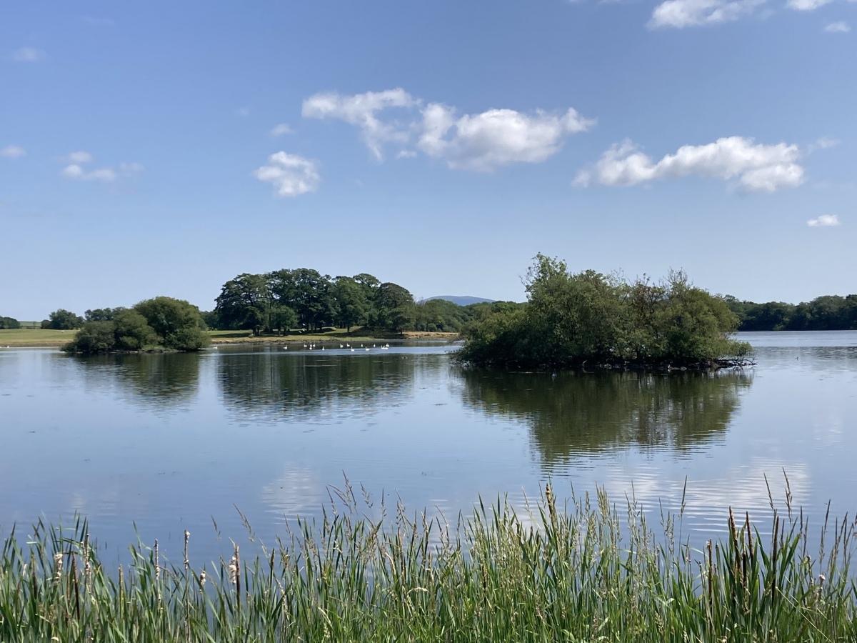
Milton Loch Central submitted by markj99 on 26th Jun 2023. Milton Loch Central Crannog (left background) viewed from NW.
(View photo, vote or add a comment)
Log Text: Directions to Green Island, Milton Loch: Take the Park of Brandedleys turn off the A75 on the SW edge of Crocketford. Follow the road for c. 0.8 mile to Auchengibbert Farm. Bear left to Kirkgunzeon for c. 0.2 mile to a passing place on the left. Park up and follow a vague path along the margin of the field to the W bank of Milton Loch. My route is viewable on Milton Loch Crannogs.
Milton Loch NW
Date Added: 12th Nov 2023
Site Type: Crannog
Country: Scotland (Dumfries and Galloway)
Visited: Yes on 22nd Jun 2023. My rating: Condition 2 Ambience 3 Access 3
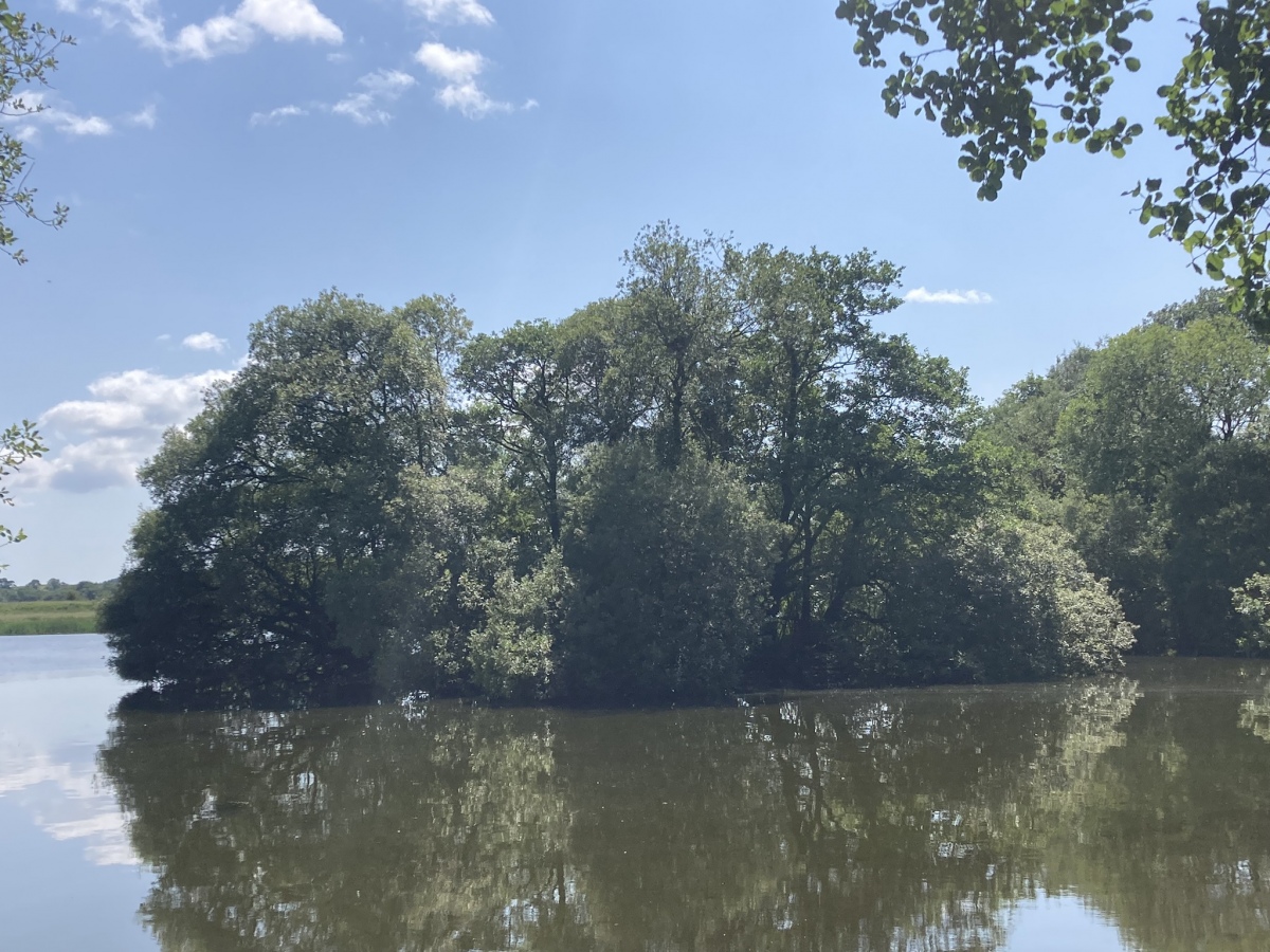
Milton Loch NW submitted by markj99 on 26th Jun 2023. Milton Loch NW Crannog viewed from NNE.
(View photo, vote or add a comment)
Log Text: Directions to Green Island, Milton Loch: Take the Park of Brandedleys turn off the A75 on the SW edge of Crocketford. Follow the road for c. 0.8 mile to Auchengibbert Farm. Bear left to Kirkgunzeon for c. 0.2 mile to a passing place on the left. Park up and follow a vague path along the margin of the field to the W bank of Milton Loch. My route is viewable on Milton Loch Crannogs.
Loch Heron
Date Added: 24th Nov 2023
Site Type: Crannog
Country: Scotland (Dumfries and Galloway)
Visited: Yes on 12th May 2023. My rating: Condition 2 Ambience 3 Access 5
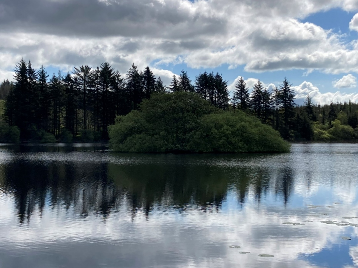
Loch Heron submitted by markj99 on 13th May 2023. Loch Heron NW Crannog viewed from W.
(View photo, vote or add a comment)
Log Text: Directions to Loch Heron Crannog: Take the North Street turn (signed for Whitecairn Farm Caravan Park) off Main Street in Glenluce. Follow this narrow road for c. 7 miles to reach a minor crossroads at Three Lochs Holiday Park. Take the right turn opposite the holiday park entrance onto a single track road. Follow the road for c. 0.25 mile to a lay-by on the right. The crannog can be viewed from here.
Cults Loch
Date Added: 15th Nov 2023
Site Type: Crannog
Country: Scotland (Dumfries and Galloway)
Visited: Yes on 15th May 2023. My rating: Condition 2 Ambience 4 Access 3
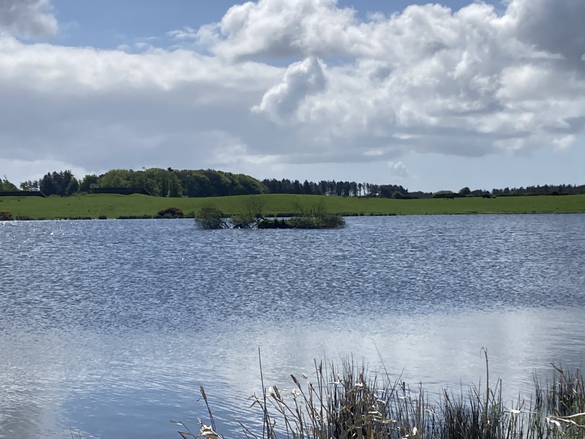
Cults Loch submitted by markj99 on 16th May 2023. Cults Loch Central Crannog viewed from N.
(View photo, vote or add a comment)
Log Text: Directions to Cults Loch Crannogs: Take the New Luce turn off the A75 at the petrol station on the SE edge of Castle Kennedy. After c. 0.5 mile take the right turn signed for Nivens Yard. Follow this potholed gravel track for c. 75 yards to a gate on the left. There is room to park at the gate. Walk E through the gate for c. 350 yards to reach a gate into a field on the left. Follow a track NE towards Cults Loch. The Central Crannog can be viewed from the W bank of the loch. The NW Crannog is located on a circular promontory in the NW corner of the loch. My route is viewable on Cults Loch Crannogs. On a cautionary note, there are often beef cattle in the field beside Cults Loch.
