Contributory members are able to log private notes and comments about each site
Sites markj99 has logged. View this log as a table or view the most recent logs from everyone
Bryn Celli Ddu
Date Added: 7th Jun 2021
Site Type: Passage Grave
Country: Wales (Anglesey)
Visited: Yes on 20th Apr 2011. My rating: Condition 4 Ambience 5 Access 4
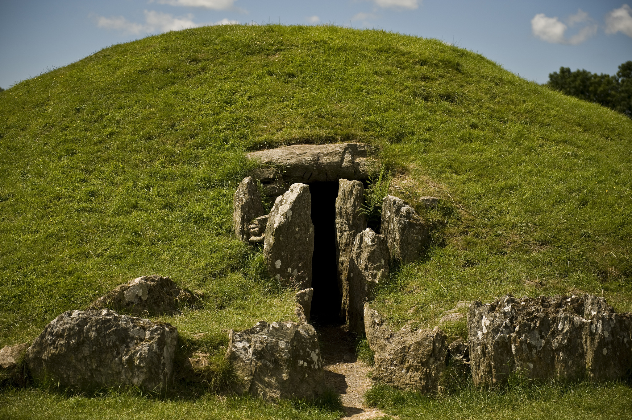
Bryn Celli Ddu submitted by ericgrindle on 22nd Feb 2015. The Site is clearly signposted and only a short walk from the road. It is considered to be one of the finest passage tombs in Wales, The series of photographs will show the entrance, the main passage and chamber. The access to the main chamber being via a tunnel, the sides of which consist of large vertical slabs topped by substantial stone lintels.
Eric. Image copyright: Eric Grindle (Eric Grindle), hosted on Flickr and displayed under the terms of their API.
(View photo, vote or add a comment)
Log Text: There is a balance to be struck in restoring an ancient site. Sites such as Newgrange seem in my eyes to be over-restored losing some of their original character. The restoration of Bryn Celli Ddu on the other hand has been sympathetic allowing it to retain an air of antiquity.
Bryn Glas Cairns (Pontsticill)
Date Added: 31st Dec 2023
Site Type: Barrow Cemetery
Country: Wales (Mid Glamorgan)
Visited: Yes on 21st Nov 2012. My rating: Condition 2 Ambience 4 Access 3
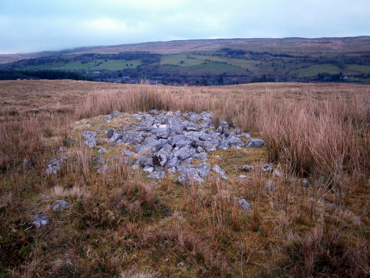
Bryn Glas Cairns (Pontsticill) submitted by markj99 on 27th Dec 2022. Bryn Glas Cairn III viewed from W.
(View photo, vote or add a comment)
Log Text: Take the turn onto Dan-Y-Coed, a residential dead-end street on the S edge of Pontsticill. There is room to park at the end of the cul-de-sac. Follow a grass track N for c. 200 yards to reach a sheepfold. Walk NW for c. 300 yards to a small stone covered cairn, Bryn Glas III. Walk c. 30 yards N to Bryn Glas IV, then c. 85 yards N to Pontsticill Ring Cairn and its small satellite cairn Bryn Glas V. My route is viewable on Pontsticill Cairns.
The Bryn Glas cairns are difficult to locate in open moorland due to their low stature. GPS navigation would be advantageous.
Buldoo
Date Added: 19th May 2024
Site Type: Standing Stone (Menhir)
Country: Scotland (Caithness)
Visited: Yes on 5th Sep 2021. My rating: Condition 4 Ambience 4 Access 3
Buldoo submitted by cosmic on 3rd Oct 2007. Buldoo from East
(View photo, vote or add a comment)
Log Text: Buldoo Standing Stone is a massive slab erected in a field NE of Latheron. A large recumbent slab is located SW on the field edge. There may be a relationship between these stones and the nearby Latheron Standing Stone.
Burford Down (Tristis Rock)
Date Added: 2nd May 2025
Site Type: Cairn
Country: England (Devon)
Visited: Yes on 2nd Sep 2020. My rating: Condition 2 Ambience 4 Access 3
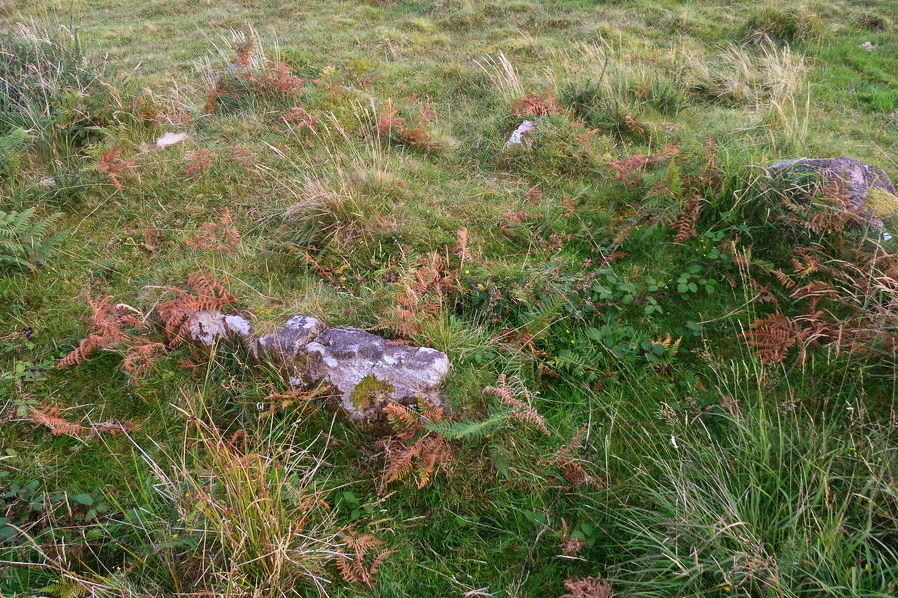
Burford Down (Tristis Rock) submitted by Bladup on 9th Dec 2017. Burford Down (Tristis Rock) cairn circle and cist, showing the remaining sideslab of the cist.
(View photo, vote or add a comment)
Log Text: There is likely to be a relationship between this ruined cairn with a central cist and the stone row which starts c. 100 yards W with a cairn circle.
Burford Down Cairn Circle
Date Added: 9th Jun 2021
Site Type: Stone Circle
Country: England (Devon)
Visited: Yes on 2nd Sep 2020. My rating: Condition 2 Ambience 4 Access 3
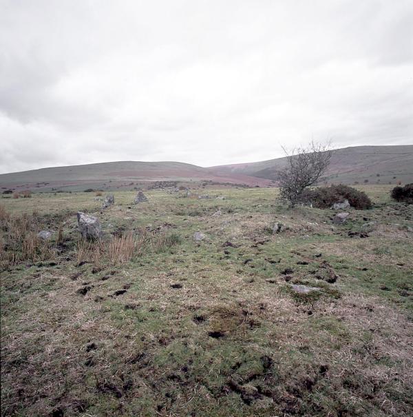
Burford Down Stone Row submitted by Tom_Bullock on 9th Jul 2002. The Burford Down stone row, one of the finest in
Dartmoor, shows evidence of recent damage by whatever farmer is running
huge tractors across the fields. S(he) has been driving right through
the rows (perpendicular to them) along several tracks. I saw evidence of
at least 3 stones that had been dislodged and pushed aside by the wheels
of the tractor. I don't know if there is a procedure for reporting such
damage, or even if the farmer is liable for such damage. I have never, in my 12 year...
(View photo, vote or add a comment)
Log Text: Burford Down Cairn Circle is partially hidden by gorse but the two upright kerb stones identified it as an ancient site. In the middle of the cairn there is an open chamber with one lining stone remaining.
Burford Down Stone Row
Date Added: 9th Jun 2021
Site Type: Stone Row / Alignment
Country: England (Devon)
Visited: Yes on 2nd Sep 2020. My rating: Condition 3 Ambience 5 Access 3

Burford Down Stone Row submitted by Tom_Bullock on 9th Jul 2002. The Burford Down stone row, one of the finest in
Dartmoor, shows evidence of recent damage by whatever farmer is running
huge tractors across the fields. S(he) has been driving right through
the rows (perpendicular to them) along several tracks. I saw evidence of
at least 3 stones that had been dislodged and pushed aside by the wheels
of the tractor. I don't know if there is a procedure for reporting such
damage, or even if the farmer is liable for such damage. I have never, in my 12 year...
(View photo, vote or add a comment)
Log Text: The small stones which largely make up Burford Down Stone Row are not visually impressive but the length of the stone row is extensive. It was interesting to investigate gaps in the row for buried stones.
Bwlch y Ddeufaen
Date Added: 11th Jun 2021
Site Type: Standing Stones
Country: Wales (Conwy)
Visited: Yes on 20th Apr 2011. My rating: Condition 4 Ambience 5 Access 3
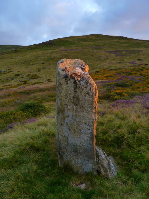
Bwlch y Ddeufaen submitted by Bladup on 8th Nov 2016. Bwlch y Ddeufaen. One of the most beautiful lights I've ever seen at the western stone.
(View photo, vote or add a comment)
Log Text: A narrow road winds up into the Welsh hills from Tal-y-bont (Conwy) on the B5106 signed for Llanbedr-y-cennin. Stay straight on this narrow lane for c. 4 miles to reach a Car Park at SH 7206 7153.
Bwlch y Ddeufaen standing stones are c. 0.5 miles from here along the Roman Road. Both stones are impressive however the distance between them and the dissimilarity of shape suggests to me that they are individual way markers rather than paired stones. There are several cairns nearby which lend weight to this theory.
Bwlch y Ddeufaen N
Date Added: 2nd May 2025
Site Type: Standing Stone (Menhir)
Country: Wales (Conwy)
Visited: Yes on 20th Apr 2011. My rating: Condition 4 Ambience 5 Access 3
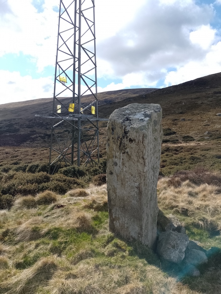
Bwlch y Ddeufaen N submitted by Supersequin on 15th Mar 2025. View looking south in which the pylon is clearly visible.
(View photo, vote or add a comment)
Log Text: A narrow road winds up into the Welsh hills from Tal-y-bont (Conwy) on the B5106 signed for Llanbedr-y-cennin. Stay straight on this narrow lane for c. 4 miles to reach a Car Park at SH 7206 7153.
Bwlch y Ddeufaen standing stones are c. 0.5 miles from here along the Roman Road. Both stones are impressive however the distance between them and the dissimilarity of shape suggests to me that they are individual way markers rather than paired stones. There are several cairns nearby which lend weight to this theory.
Bwlch y Ddeufaen S
Date Added: 2nd May 2025
Site Type: Standing Stone (Menhir)
Country: Wales (Conwy)
Visited: Yes on 20th Apr 2011. My rating: Condition 4 Ambience 5 Access 3
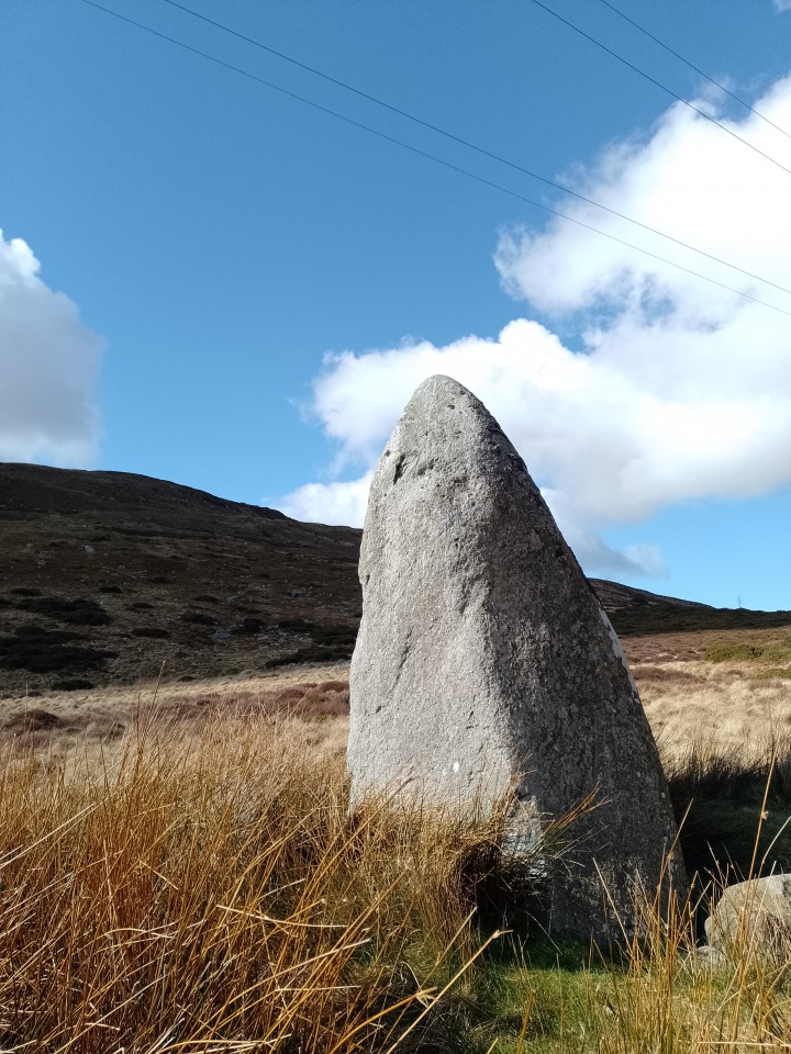
Bwlch y Ddeufaen S submitted by Supersequin on 15th Mar 2025. This is the stone to the left of the path as you travel from Rowen.
(View photo, vote or add a comment)
Log Text: A narrow road winds up into the Welsh hills from Tal-y-bont (Conwy) on the B5106 signed for Llanbedr-y-cennin. Stay straight on this narrow lane for c. 4 miles to reach a Car Park at SH 7206 7153.
Bwlch y Ddeufaen standing stones are c. 0.5 miles from here along the Roman Road. Both stones are impressive however the distance between them and the dissimilarity of shape suggests to me that they are individual way markers rather than paired stones. There are several cairns nearby which lend weight to this theory.
Cae Coch
Date Added: 9th Jun 2021
Site Type: Standing Stone (Menhir)
Country: Wales (Conwy)
Visited: Yes on 20th Apr 2011. My rating: Condition 4 Ambience 5 Access 4
Cae Coch submitted by TimPrevett on 9th Apr 2004. A composite of the spectacular back drop to the south west of Cae Coch standing stone, a short walk from the Rowen Youth Hostel, along with numerous other ancient monuments.
(View photo, vote or add a comment)
Log Text: A narrow road winds up into the Welsh hills from Tal-y-bont (Conwy) on the B5106 signed for Llanbedr-y-cennin. Stay straight on this narrow lane for c. 3 miles to reach a 90 degree bend at Cae Coch. It is possible to park on the corner otherwise walk back from the nearest passing place. Follow the track E for c. 0.33 miles to see Cae Coch Standing Stone in the field on the L.
This c. 7 foot stone is one of many ancient sites in the area.
Caerhun Chambered Tomb
Date Added: 10th Jan 2023
Site Type: Chambered Tomb
Country: Wales (Conwy)
Visited: Yes on 20th Apr 2011. My rating: Condition 2 Ambience 4 Access 3
Caerhun Chambered Tomb submitted by TimPrevett on 30th Jul 2004. The view west - notice the curve of stones in front of the chamber; Maen y Bardd visible to the far left.
(View photo, vote or add a comment)
Log Text: Caerhun Chambered Tomb blends into the landscape. It is best to look for a twisted hawthorn tree beside a large rock. The subterranean chamber is located c. 20 yards NW of the tree.
Caerketton Hill
Date Added: 26th Nov 2023
Site Type: Cairn
Country: Scotland (Midlothian)
Visited: Yes on 21st Apr 2023. My rating: Condition 2 Ambience 5 Access 3
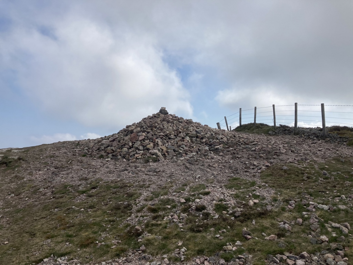
Caerketton Hill submitted by markj99 on 25th Apr 2023. Caerketton Hill Cairn viewed from W.
(View photo, vote or add a comment)
Log Text: I parked at NT 24954 66968, a car park at the Hillend Ski Centre junction with the A702 on the S edge of Edinburgh. A path leading W starts here, before it turns to the SW. This path leads up to an elevated ridge which commands impressive views of Edinburgh. Caerketton Fort and Cairn are accessed by this moderately steep route. My route can be viewed on Caerketton Hill Cairn.
Cairn Avel
Date Added: 6th May 2025
Site Type: Cairn
Country: Scotland (Dumfries and Galloway)
Visited: Yes on 17th Sep 2020. My rating: Condition 3 Ambience 4 Access 4
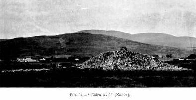
Cairn Avel submitted by durhamnature on 8th Oct 2012. Photo of the cairn from "Report of Commission on Monuments...Galloway" via archive.org
(View photo, vote or add a comment)
Log Text: Cairn Avel can be visited as a short detour from the route to Braidenoch Cross Slabs above Carasphairn.
Cairn Buy
Date Added: 5th May 2025
Site Type: Cairn
Country: Scotland (Dumfries and Galloway)
Visited: Yes on 26th Sep 2020. My rating: Condition 3 Ambience 5 Access 3
Cairn Buy submitted by markj99 on 3rd Oct 2020. Cairn Buy viewed from S.
(View photo, vote or add a comment)
Log Text: Despite its proximity to the coast Cairn Buy has a sense of isolation, on a patch of moorland with a sea view.
Cairn Fell
Date Added: 10th Oct 2022
Site Type: Cairn
Country: Scotland (Dumfries and Galloway)
Visited: Yes on 8th Oct 2022. My rating: Condition 3 Ambience 4 Access 3
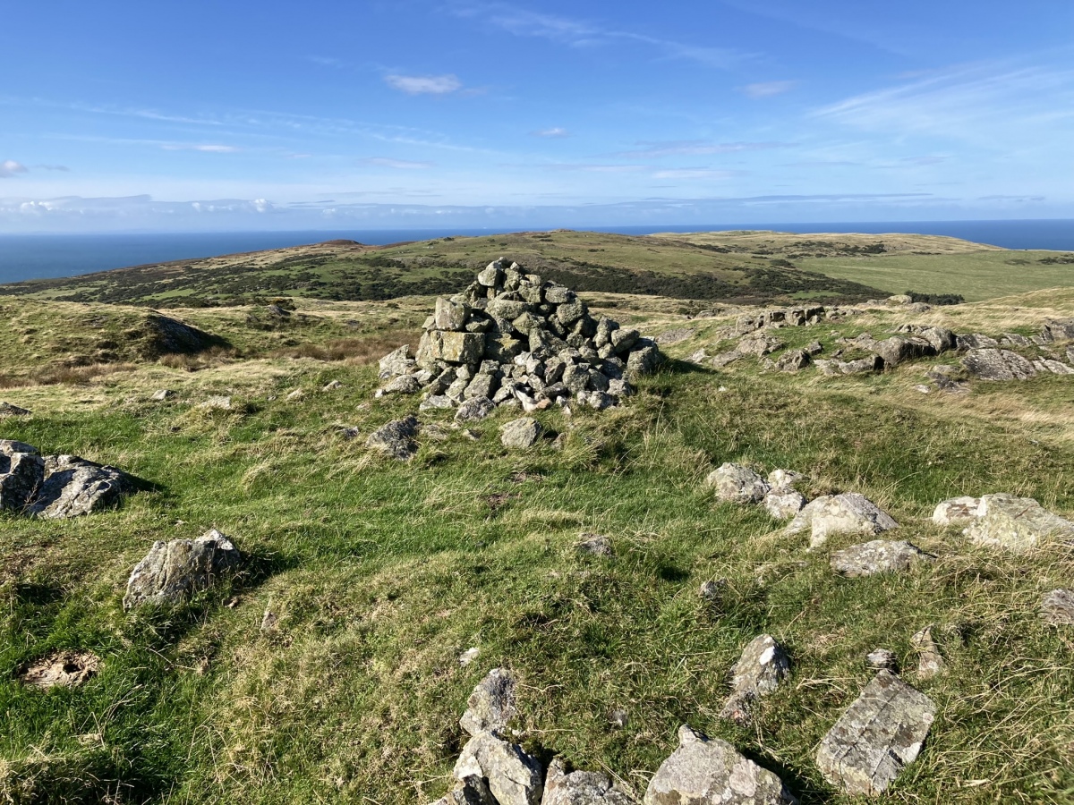
Cairn Fell submitted by markj99 on 9th Oct 2022. Cairn Fell Summit Cairn viewed from Centre of Cairn Fell Cairn.
(View photo, vote or add a comment)
Log Text: There are no obvious routes to the summit of Cairn Fell so I devised a cross country route (see Listing). The cairn has been extensively robbed however has a significant presence.
Cairn Hill (Barraer)
Date Added: 21st Oct 2023
Site Type: Cairn
Country: Scotland (Dumfries and Galloway)
Visited: Yes on 11th Aug 2023. My rating: Condition 2 Ambience 4 Access 3

Cairn Hill (Barraer) submitted by markj99 on 13th Aug 2023. Field clearance stones in NW Arc of Cairn Hill (Barraer) Cairn.
(View photo, vote or add a comment)
Log Text: Directions to Cairn Hill (Barraer): Take the narrow unsigned road starting at NX 3953 6427 on the A75, c. 1.2 miles W of the A75 roundabout at Newton Stewart. Follow the winding lane for c. 2 miles to reach a lay-by at NX 38464 61246. Follow a rocky track heading W into a field then head uphill to Cairn Hill (Barraer). My route is viewable on Cairn Hill (Barraer).
Cairn Hill (Cairnryan)
Date Added: 6th Jul 2024
Site Type: Cairn
Country: Scotland (Dumfries and Galloway)
Visited: Yes on 23rd Jun 2024. My rating: Condition 1 Ambience 3 Access 3
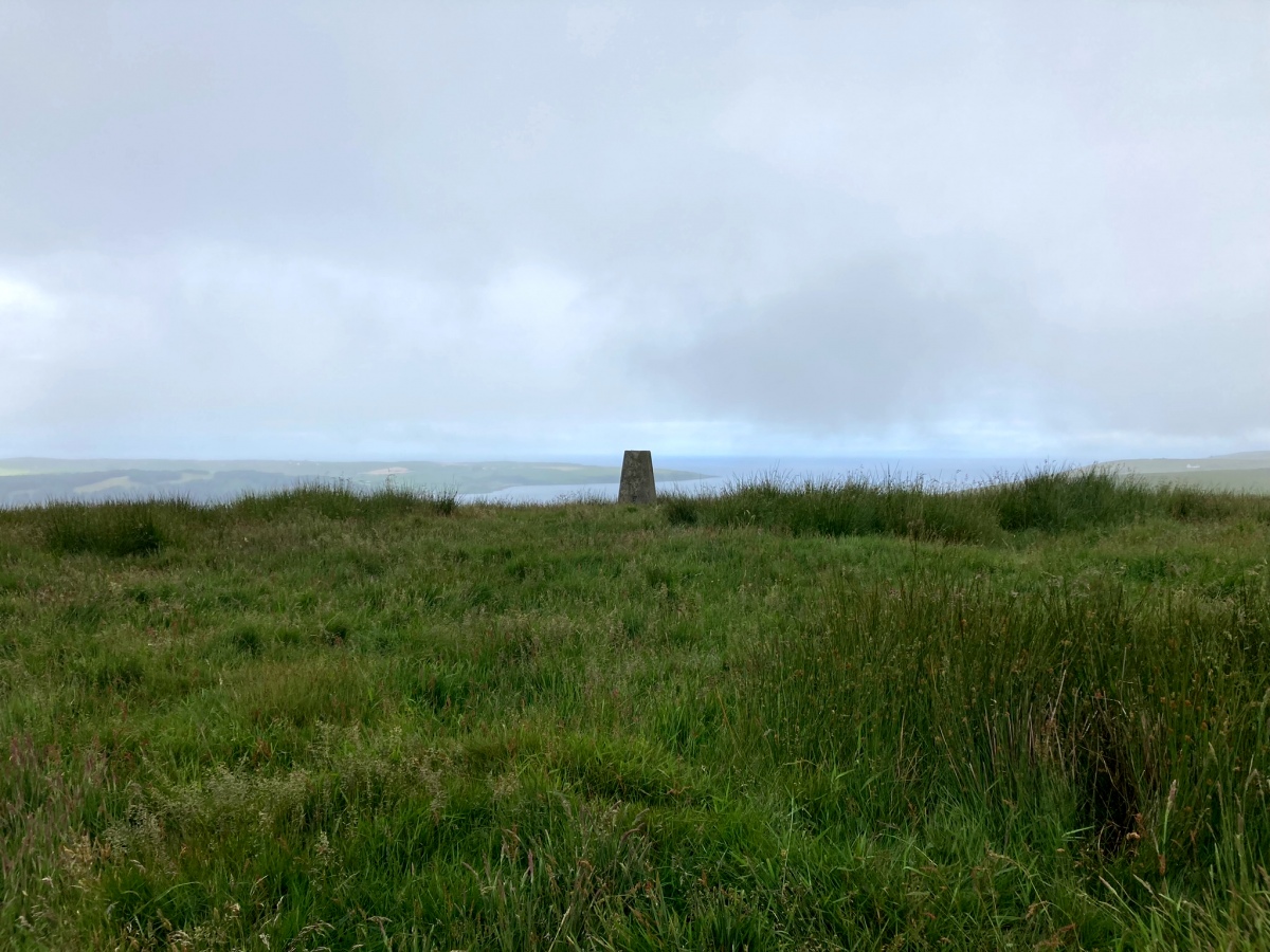
Cairn Hill (Cairnryan) submitted by markj99 on 4th Jul 2024. Cairn Hill (Cairnryan) Cairn viewed from ESE.
(View photo, vote or add a comment)
Log Text: Having read the Canmore description, I expected to see a rough circle of scattered stones on the summit of Cairn Hill. The current state of the cairn is a barely perceptible low grassy mound. I suppose nearby dry stane dykes could account for the disappearance of the cairn stones. On the plus side, there are extensive views from the summit trig point.
Cairn Hill (Dalquharran)
Date Added: 6th Nov 2023
Site Type: Cairn
Country: Scotland (South Ayrshire)
Visited: Yes on 1st Aug 2023. My rating: Condition 1 Ambience 3 Access 4
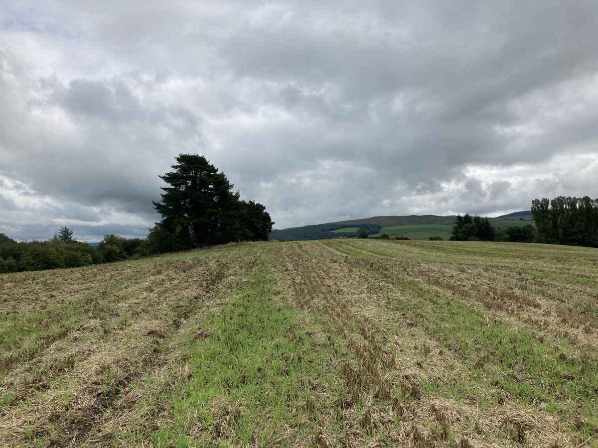
Cairn Hill (Dalquharran) submitted by markj99 on 1st Aug 2023. Cairn Hill (Dalquharran) Cairn viewed from west.
(View photo, vote or add a comment)
Log Text: Directions to Cairn Hill (Dalquharran) : Take the B741 Dailly road off the A77, N of Girvan. After c. 5 miles stay straight on for Maybole at the Dailly junction. Continue for 75 yards to park up in estate gates on the right. Walk c. 100 yards S into the estate to reach a path heading E into a wood. Follow the path E for c. 150 yards then head S for c. 50 yards along a path heading into a field. The cairn is c. 130 yards SE of the entrance into the field.
