
Draw a straight line between any two of the 65,000 ancient sites mapped on the Portal, and see what else sits along it. Pick one of the published lines below, or choose your own two end points. Once you have your two points you can extend the line outwards with a click, or by pressing E.
Lines to try
Cranborne Chase
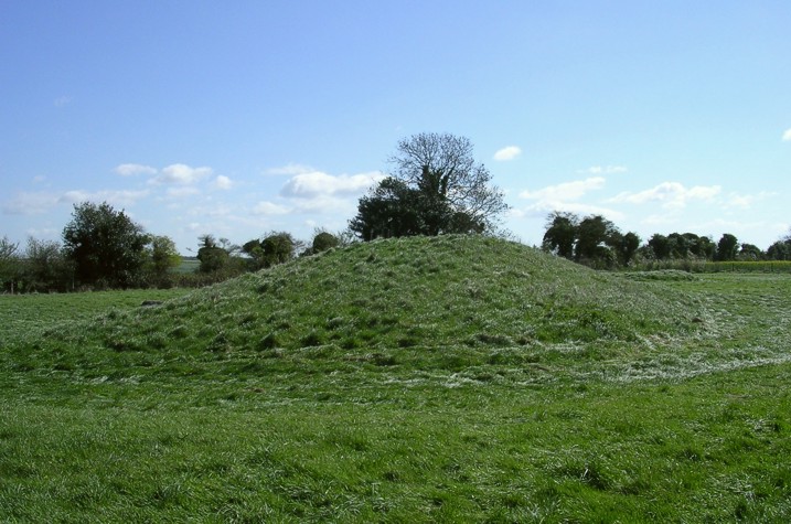
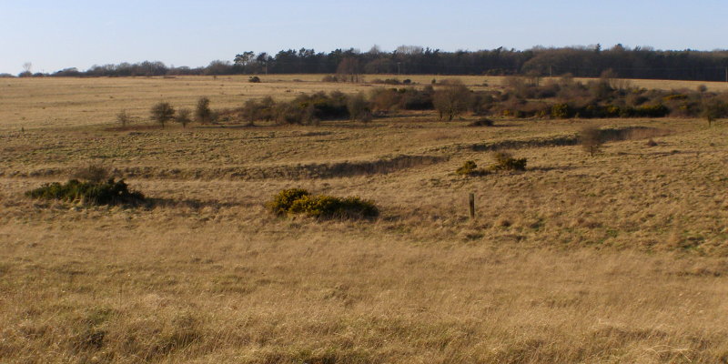
The Dorset Cursus: twin parallel banks and ditches running north-east across Cranborne Chase, built around 3300 BCE and one of the longest prehistoric alignments in Europe. At 250m with the prehistoric filter on, six intermediate features fall along it, the Oakley Down barrow cemetery among them at one metre off the line.
11km longwithin 250m of the linePrehistoric sites onlyGreat circle
Or choose your own two sites
Ley lines, and what a straight line can and cannot tell you
Alfred Watkins was a Herefordshire brewer and photographer with a good eye for landscape. In 1921 he noticed that a number of old sites in his county appeared to fall into straight lines. He called them leys, and set the idea out four years later in his classic book The Old Straight Track, now a hundred years old. Watkins was not proposing anything mystical. His leys were sightlines and trading routes, marked by mounds, moats, ponds, notches in hills and later by churches, and surveyed with a straight line drawn on the one-inch Ordnance Survey sheets of the day. A pencil line on a map at that scale covers about 100 metres of ground, which is where the Watkins-faithful setting in the Finder comes from.
In the 1960s the idea developed. John Michell, in The View Over Atlantis (1969), recast leys as channels of earth energy, and drew the best known of them: the St Michael Line, running north-east from St Michael's Mount in Cornwall on the May Day sunrise azimuth; taking in Brent Tor, Burrow Mump, Glastonbury Tor and Avebury. Twenty years on, Hamish Miller and Paul Broadhurst dowsed the same corridor in The Sun and the Serpent (1989) and reported two winding currents rather than one straight line, which is a different claim altogether and not one this tool can test.
The statistical objection arrived early and has never really been answered. Given enough points on a map, some of them will fall into a straight line by chance alone. Tom Williamson and Liz Bellamy made the argument at length in Ley Lines in Question (1983), and it is why the Finder can also show you all the sites in the area around a line, not only the ones on it. Tick Show All sites within 10km of the line, or press A, and every site within ten kilometres of the bearing appears. That is the number a straight-line hit has to be judged against: one site within 100 metres means little if a thousand were within reach of the pencil. That is what our Ley Line Finder is for. It will tell you what sits along any line between two of the sites in our database, at the width you set.
Read the full article about our Ley Line Finder · Possible Alignments lists every two-site visit log on the Portal, and lets you draw a line to check for possible alignments.
The Ley Line Finder is a conceptual art project that finds what alignments our data holds at the line width you choose. Any possible conclusions are yours to draw.