<< Our Photo Pages >> Leskernick NW - Stone Circle in England in Cornwall
Submitted by TheCaptain on Wednesday, 25 May 2016 Page Views: 9206
Neolithic and Bronze AgeSite Name: Leskernick NW Alternative Name: Lesternick 2Country: England County: Cornwall Type: Stone Circle
Nearest Town: Launceston Nearest Village: Bolventor
Map Ref: SX18587992 Landranger Map Number: 201
Latitude: 50.590749N Longitude: 4.56442W
Condition:
| 5 | Perfect |
| 4 | Almost Perfect |
| 3 | Reasonable but with some damage |
| 2 | Ruined but still recognisable as an ancient site |
| 1 | Pretty much destroyed, possibly visible as crop marks |
| 0 | No data. |
| -1 | Completely destroyed |
| 5 | Superb |
| 4 | Good |
| 3 | Ordinary |
| 2 | Not Good |
| 1 | Awful |
| 0 | No data. |
| 5 | Can be driven to, probably with disabled access |
| 4 | Short walk on a footpath |
| 3 | Requiring a bit more of a walk |
| 2 | A long walk |
| 1 | In the middle of nowhere, a nightmare to find |
| 0 | No data. |
| 5 | co-ordinates taken by GPS or official recorded co-ordinates |
| 4 | co-ordinates scaled from a detailed map |
| 3 | co-ordinates scaled from a bad map |
| 2 | co-ordinates of the nearest village |
| 1 | co-ordinates of the nearest town |
| 0 | no data |
Internal Links:
External Links:
I have visited· I would like to visit
LordMureth visited on 30th Mar 2017 - their rating: Cond: 2 Amb: 5 Access: 2
TheCaptain have visited here
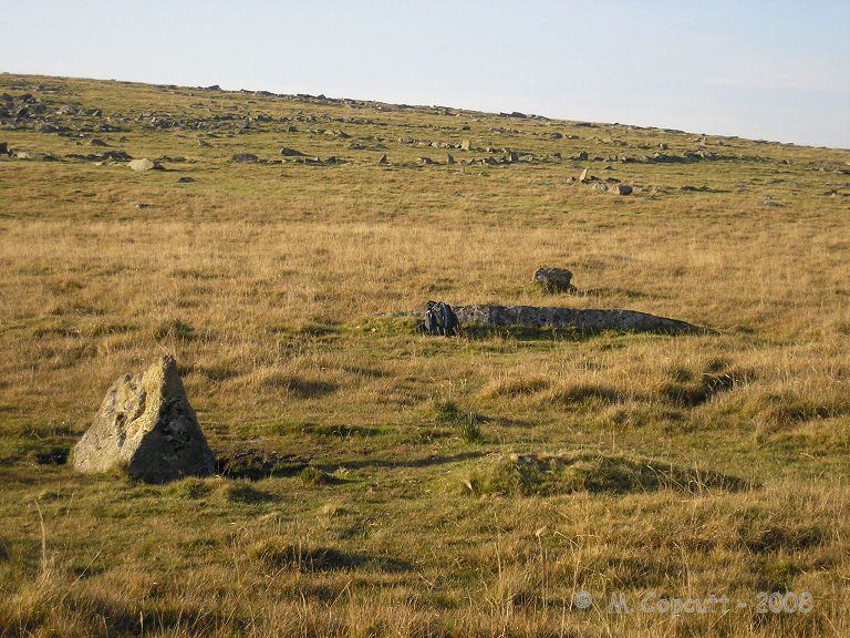
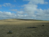
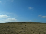
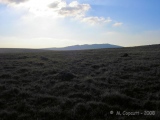
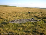
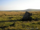
Once the first, southern, circle had been found, it was relatively simple to find the second, northern circle, which is about half a kilometre to the north, across the saddle towards Leskernick Hill, and look for the obvious standing stones, of which there are two, before you get to the remains of the ancient village.
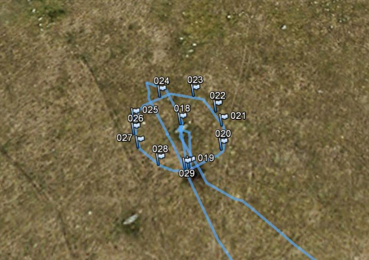
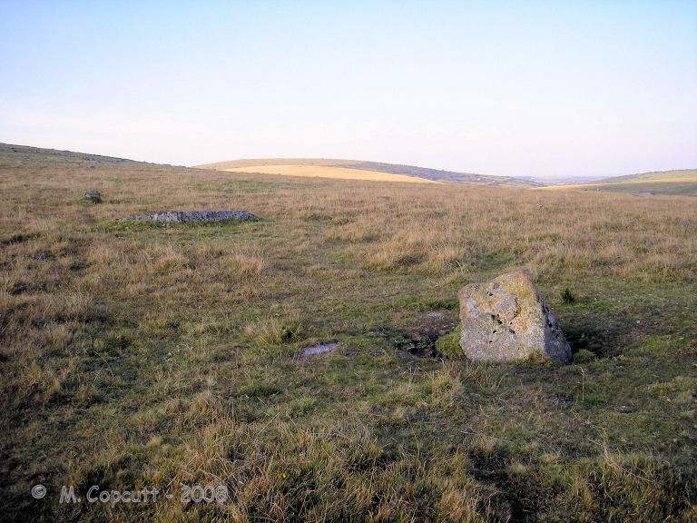
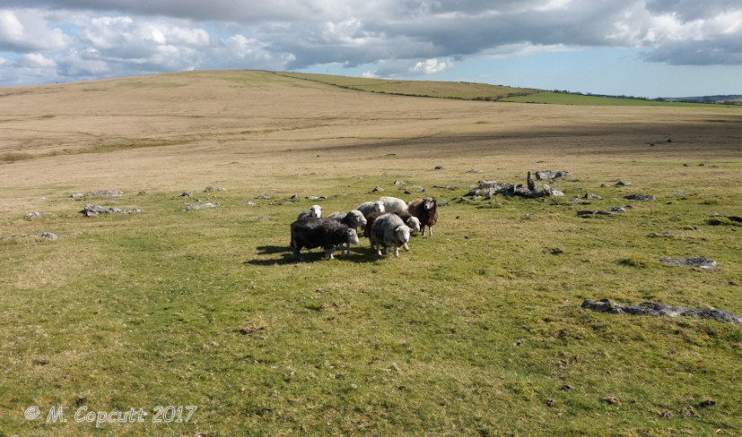
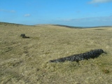
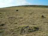
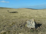
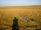
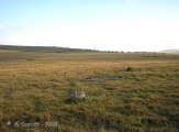
I counted 11 stones remaining in the circle, and paced out a diameter of 23 metres, which going by today's paces, would make it more like 25 metres. The two standing stones are pretty much opposite to each other and about a metre high. The rest of the stones are fallen and buried, and again about a metre in length, but much more blocky than the slab stones of circle 1. In the middle of the circle is a large fallen slab, three to four metres in length, which if it was originally standing here would have been impressive.
It is said that this circle was only discovered in the 1980's or 1990s. Quite remarkable really, as it seemed fairly clear to me. What else is there out here, waiting to be found.
Note: Roy G and TimeSeekers to clear and re-expose the Leskernick Hill circles and row, see the most recent comment on our page
You may be viewing yesterday's version of this page. To see the most up to date information please register for a free account.

Do not use the above information on other web sites or publications without permission of the contributor.
Click here to see more info for this site
Nearby sites
Key: Red: member's photo, Blue: 3rd party photo, Yellow: other image, Green: no photo - please go there and take one, Grey: site destroyed
Download sites to:
KML (Google Earth)
GPX (GPS waypoints)
CSV (Garmin/Navman)
CSV (Excel)
To unlock full downloads you need to sign up as a Contributory Member. Otherwise downloads are limited to 50 sites.
Turn off the page maps and other distractions
Nearby sites listing. In the following links * = Image available
141m SE 133° Leskernick cairn* Cairn (SX18687982)
177m SE 131° Leskernick* Ancient Village or Settlement (SX18717980)
243m WNW 287° Leskernick Hill Settlement* Ancient Village or Settlement (SX18358000)
270m E 95° Leskernick Hill Row* Stone Row / Alignment (SX1884979885)
293m WSW 250° Leskernick cist* Cist (SX18307983)
348m NW 304° Leskernick 2* Natural Stone / Erratic / Other Natural Feature (SX1829880125)
368m SE 137° Leskernick SE* Stone Circle (SX18827964)
412m NW 311° Leskernick Quoit* Natural Stone / Erratic / Other Natural Feature (SX1827980202)
502m NNW 327° Leskernick Hill cairn* Cairn (SX18328035)
977m NE 35° Westmoor Cairns* Cairn (SX19178070)
1.1km SSE 163° Trezelland stone setting* Standing Stones (SX18857889)
1.2km ESE 112° The Beacon Cist* Cist (SX19667944)
1.3km ESE 119° The Beacon Cairns* Cairn (SX19677928)
1.3km SE 130° Elephant Rock* Natural Stone / Erratic / Other Natural Feature (SX19557905)
1.7km NE 46° West Moor Possible Menhir* Standing Stone (Menhir) (SX1987081077)
1.9km ENE 62° Westmoorgate circle* Stone Circle (SX20258073)
1.9km ENE 58° Westmoorgate cairn* Cairn (SX2020680866)
1.9km SW 223° Catshole Quoit* Chambered Tomb (SX17227856)
2.1km NW 326° Buttern Hill Cairns* Cairn (SX17478167)
2.1km SW 218° Catshole Downs long cairn* Chambered Cairn (SX172783)
2.2km S 191° Tolborough Standing Stone* Standing Stone (Menhir) (SX1807877741)
2.3km N 6° Bray Down Cairns* Cairn (SX18908216)
2.3km SSW 206° Tolborough Tor Cairn* Cairn (SX175779)
2.3km SSW 205° Tolborough Tor stone row* Stone Row / Alignment (SX17547787)
2.4km NW 315° Buttern Hill row* Stone Row / Alignment (SX1695681658)
View more nearby sites and additional images




 We would like to know more about this location. Please feel free to add a brief description and any relevant information in your own language.
 Wir möchten mehr über diese Stätte erfahren. Bitte zögern Sie nicht, eine kurze Beschreibung und relevante Informationen in Deutsch hinzuzufügen.
 Nous aimerions en savoir encore un peu sur les lieux. S'il vous plaît n'hesitez pas à ajouter une courte description et tous les renseignements pertinents dans votre propre langue.
 Quisieramos informarnos un poco más de las lugares. No dude en añadir una breve descripción y otros datos relevantes en su propio idioma.