<< Our Photo Pages >> Brent Tor - Hillfort in England in Devon
Submitted by h_fenton on Tuesday, 28 December 2010 Page Views: 13211
Iron Age and Later PrehistorySite Name: Brent Tor Alternative Name: BrentorCountry: England County: Devon Type: Hillfort
Nearest Town: Tavistock Nearest Village: North Brentor
Map Ref: SX4709780392
Latitude: 50.603162N Longitude: 4.162067W
Condition:
| 5 | Perfect |
| 4 | Almost Perfect |
| 3 | Reasonable but with some damage |
| 2 | Ruined but still recognisable as an ancient site |
| 1 | Pretty much destroyed, possibly visible as crop marks |
| 0 | No data. |
| -1 | Completely destroyed |
| 5 | Superb |
| 4 | Good |
| 3 | Ordinary |
| 2 | Not Good |
| 1 | Awful |
| 0 | No data. |
| 5 | Can be driven to, probably with disabled access |
| 4 | Short walk on a footpath |
| 3 | Requiring a bit more of a walk |
| 2 | A long walk |
| 1 | In the middle of nowhere, a nightmare to find |
| 0 | No data. |
| 5 | co-ordinates taken by GPS or official recorded co-ordinates |
| 4 | co-ordinates scaled from a detailed map |
| 3 | co-ordinates scaled from a bad map |
| 2 | co-ordinates of the nearest village |
| 1 | co-ordinates of the nearest town |
| 0 | no data |
Internal Links:
External Links:
I have visited· I would like to visit
PAB would like to visit
Catrinm visited on 3rd Jan 2025 - their rating: Cond: 4 Amb: 5 Access: 4 Always an energising site - on a still clear icy day the views were fantastic including to the sea at Plymouth Sound
lucasn visited on 6th Apr 2017 - their rating: Cond: 5 Amb: 5 Access: 4
graemefield visited on 8th Aug 2014 - their rating: Cond: 3 Amb: 4 Access: 4
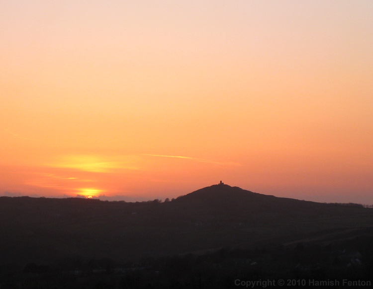
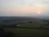
h_fenton visited on 8th Apr 2010 - their rating: Amb: 5 Access: 4 I was out on Brent Tor just before 7am as the sun rose from the clouds that shrouded Dartmoor to the east, the light gently warming the Devon landscape and the dewy grass glistening beneath my feet. Mist hung in some of the valleys. It was a wonderful sport to just stop and watch the world slowly waking up, the sound of dogs barking in a distant farmyard reached my lofty perch through seemingly very still air. I looked in the church which sits on the summit there was a stained glass window depicting St Michael at the east end with the sun directly behind making it glow.
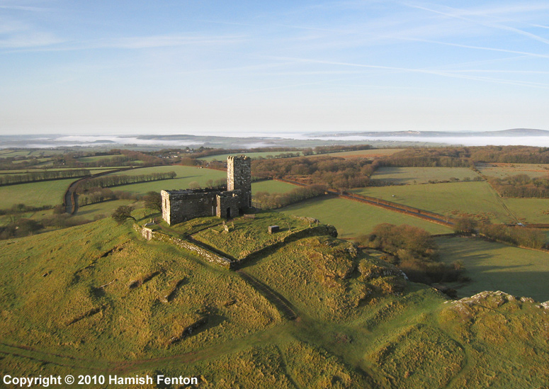
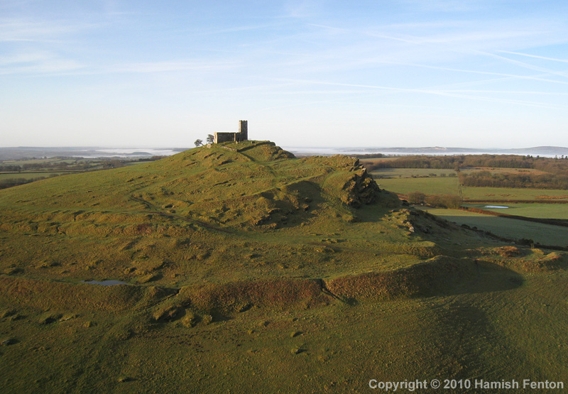
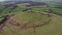
Back outside the church there was the merest murmur of some wind, I carefully set my kite up, adjusting it to catch the most wind possible. the fabric of the kite whispered that there was just enough wind so I moved out of the churchyard and launched the kite. it slowly rose into the air with only a very small pull on the line. I attached the camera to the kite line and while there was enough wind to lift the kite there was only enough to maintain the height of the camera. I ran a little way down the hill trying to get the camera to lift higher, it quickly returned to the ground. returning to the launch spot I relaunched the kite and flew it as close to the church as was feasible attached the camera, set the camera running. With a little faith I ran down the hill letting the kite line roll off the reel as I went, over the ramparts slipping down the outer sides then continuing down the field - now gently pulling the line, pulling the kite higher and the camera into the air and away from the hill. Slowly the kite and camera came back towards me, I caught he camera, then landed the kite. so impressed with some of the photos I returned to the church and put most of the money I had on me into the collection box.
I flew again on the south side of the church, the wind was still slack, running and walking was again needed to maintain the kite in the air.
After all the kite flying it, the tor was still a wonderful spot just sit or stand and contemplate and view the landscape, I whiled away a few hours here until the ambience was interrupted by other visitors and their dogs.
cazzyjane have visited here
Average ratings for this site from all visit loggers: Condition: 4 Ambience: 4.75 Access: 4
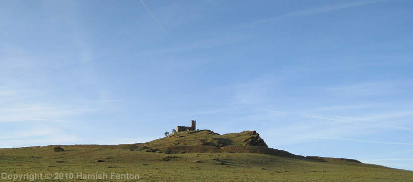
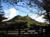
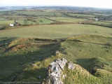
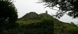
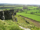
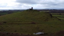
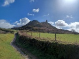
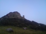
The west side of Brent Tor is steep and rocky with a few small cliffs. The hill was formed during the Lower Carboniferous period from submarine Balsatic lavas and is of great interest to geologists.
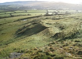
Close to the base of the hill is a rampart up to 5 metres high (outside measurement) that goes part of the way around the hill (North and North East sides), it has been suggested that the rampart was never completed but does represent a rampart belonging to an Iron Age Fort or enclosure. Recent survey work by Greeves (1996) and Newman (2003) has revealed further internal earthworks such as linear banks and also smaller features which Greeves has interpreted as the remains of buildings, which he speculates could be early Medieval - although it is fair to say that there is no dating evidence either historical or archaeological to support this.
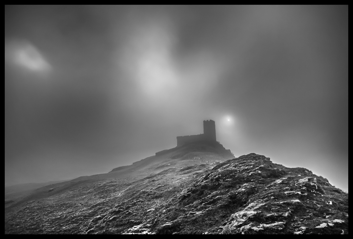
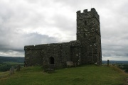
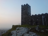
On the summit of Brent Tor is a small church, built around 1130, rebuilt in the 13th Century and the tower was either added or rebuilt in the 15th Century. A few legends try to tell the story of how the church was built on top of the hill. The legends mostly involve the Devil.
Access: to the north west of the hill at grid reference: SX 468 805 there is a public car park with toilets, a path crosses the road from the car park and then heads up the hill. The path on the lower part of the hill may be muddy at times, cattle and sheep are kept in the field. Care needs to be taken on the steep slopes of Brent Tor as they can be slippy in wet conditions.
Geology see: www.devon.gov.uk/geo-brent-tor.pdf
The main source used for the archaeological aspects of the above description was the Legendary Dartmoor website: www.legendarydartmoor.co.uk/brentor.htm (Accessed: 28 December 2010).
English Heritage: www.pastscape.org.uk/hob.aspx?hob_id=438139
Also see:
Greeves, T. 1999 Church, Parish and Boundary, The Dartmoor Magazine Vol. 57, Quay Publications, Brixham.
Greeves, T. 2003 Was Brentor a Dark Age Centre, The Dartmoor Magazine, Quay Publications, Brixham.
Newman, P. 2003 Brentor: An Earthwork Site on Western Dartmoor, English Heritage, Swindon
Update August 2019: This hill fort is featured on Prehistoric Dartmoor Walks (PDW) - see their entry for the Brent Tor Fort and is scheduled as Historic England List ID 1003199 (Earthworks on Brent Tor). The Devon & Dartmoor HER also includes information about the Tor and related monuments. See
You may be viewing yesterday's version of this page. To see the most up to date information please register for a free account.





These are just the first 25 photos of Brent Tor. If you log in with a free user account you will be able to see our entire collection.
Do not use the above information on other web sites or publications without permission of the contributor.
Click here to see more info for this site
Nearby sites
Key: Red: member's photo, Blue: 3rd party photo, Yellow: other image, Green: no photo - please go there and take one, Grey: site destroyed
Download sites to:
KML (Google Earth)
GPX (GPS waypoints)
CSV (Garmin/Navman)
CSV (Excel)
To unlock full downloads you need to sign up as a Contributory Member. Otherwise downloads are limited to 50 sites.
Turn off the page maps and other distractions
Nearby sites listing. In the following links * = Image available
1.5km NE 43° North Brentor Well* Holy Well or Sacred Spring (SX4813881440)
2.9km E 79° Gibbett Hill Ring Cairn (SX49958084)
5.0km ESE 121° Peter Tavy Churchyard Cross* Ancient Cross (SX51307770)
5.6km ENE 62° Ring of Bells* Ring Cairn (SX5214082873)
5.9km NNW 346° Lewtrenchard Holy Well* Holy Well or Sacred Spring (SX458861)
6.0km NE 40° Lydford Anglo Saxon Defences* Misc. Earthwork (SX51088487)
6.5km S 172° St John's Well (Tavistock)* Holy Well or Sacred Spring (SX478739)
6.7km ENE 59° White Hill South* Ring Cairn (SX5294283680)
6.8km ESE 105° Cudliptown Down Enclosed Settlement* Ancient Village or Settlement (SX536785)
6.8km E 101° Cudlipptown Down Cairn (SX5373278949)
6.9km SSE 160° Whitchurch Common Wayside Cross Ancient Cross (SX49297385)
7.2km ESE 105° White Tor Long Cairn* Cairn (SX5401478316)
7.3km ESE 124° Cox Tor Summit Cairns* Cairn (SX53067618)
7.3km ESE 102° White Tor (Peter Tavy)* Ancient Village or Settlement (SX5424078673)
7.3km ENE 59° White Hill North Cairn Field Ring Cairn (SX53528395)
7.3km SE 125° Cocks Tor Stone Row / Alignment (SX530760)
7.4km ENE 69° Nattor Down 5 Cairn (SX54098286)
7.5km ESE 104° South of White Tor Cairns* Barrow Cemetery (SX543784)
7.5km NNE 17° Burley Wood Hillfort Hillfort (SX49548754)
7.6km ESE 119° Cox Tor north east* Ancient Village or Settlement (SX536765)
7.6km ESE 113° Roos Tor north west* Ancient Village or Settlement (SX5403977254)
7.6km ENE 58° White Hill North East* Cairn (SX5371384190)
7.7km E 101° Cairns East of White Tor* Cairn (SX5459578695)
7.7km ESE 101° East of White for cairn 2* Cairn (SX5459278664)
7.7km E 81° Standon Hill Cairn Cairn (SX5473781373)
View more nearby sites and additional images


 We would like to know more about this location. Please feel free to add a brief description and any relevant information in your own language.
 Wir möchten mehr über diese Stätte erfahren. Bitte zögern Sie nicht, eine kurze Beschreibung und relevante Informationen in Deutsch hinzuzufügen.
 Nous aimerions en savoir encore un peu sur les lieux. S'il vous plaît n'hesitez pas à ajouter une courte description et tous les renseignements pertinents dans votre propre langue.
 Quisieramos informarnos un poco más de las lugares. No dude en añadir una breve descripción y otros datos relevantes en su propio idioma.