[< Gallery Home | Latest Images | Top 100 | Submit Picture >]
258331 Pictures

Gallery Home >> England >> Northumberland >> The Kettles (Wooler)

<< Previous Picture | Next Picture >>

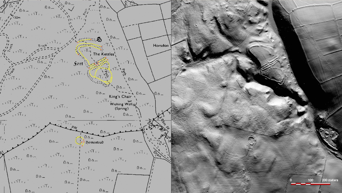
This an enhancement of lidar data captured by the Environment Agency in 2020, showing The Kettles and an enclosed 'homestead'. Essentially lidar is very high resolution terrain elevation data - 1 metre (x,y) and about 5 cm (z - elevation). This image is a simulation of solar shading from the north. An interpretation of features ius shown at left on the OS 1:10,000 map.
Submitted byZooks777
AddedJul 19 2021
Hits224
Votes0
Vote for this image in our photo competition
Start a Site visit log
I have visited

Description
This an enhancement of lidar data captured by the Environment Agency in 2020, showing The Kettles and an enclosed 'homestead'. Essentially lidar is very high resolution terrain elevation data - 1 metre (x,y) and about 5 cm (z - elevation). This image is a simulation of solar shading from the north. An interpretation of features ius shown at left on the OS 1:10,000 map.

No comments. Why don't you go ahead and post one!

To post comments first you must Register!

Megalithic Portal eGallery, images of megaliths and prehistoric sites worldwide, free to view.