[< Gallery Home | Latest Images | Top 100 | Submit Picture >]
259587 Pictures
|
<< Previous Picture | Next Picture >>

| Submitted by | Andy B |
| Added | Oct 04 2011 |
| Hits | 456 |
| Votes | 1 |
Description
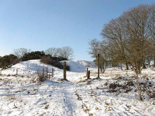
Bostal Road
Bostal is an old Sussex name for a track that climbs the scarp face of the South Downs. This one begins below in Poynings and climbs up the northern slope of the Dyke, following the southern embankment of the Iron Age fort before joining the Dyke approach road. It is a bridleway for all its length.
Copyright Simon Carey and licensed for reuse under the Creative Commons Licence.
No comments. Why don't you go ahead and post one!
To post comments first you must Register!
