<< Our Photo Pages >> Warham Camp - Hillfort in England in Norfolk
Submitted by Antonine on Sunday, 20 April 2025 Page Views: 67554
Iron Age and Later PrehistorySite Name: Warham CampCountry: England County: Norfolk Type: Hillfort
Nearest Town: Wells-next-the-Sea Nearest Village: Warham
Map Ref: TF94374089 Landranger Map Number: 132
Latitude: 52.930219N Longitude: 0.890416E
Condition:
| 5 | Perfect |
| 4 | Almost Perfect |
| 3 | Reasonable but with some damage |
| 2 | Ruined but still recognisable as an ancient site |
| 1 | Pretty much destroyed, possibly visible as crop marks |
| 0 | No data. |
| -1 | Completely destroyed |
| 5 | Superb |
| 4 | Good |
| 3 | Ordinary |
| 2 | Not Good |
| 1 | Awful |
| 0 | No data. |
| 5 | Can be driven to, probably with disabled access |
| 4 | Short walk on a footpath |
| 3 | Requiring a bit more of a walk |
| 2 | A long walk |
| 1 | In the middle of nowhere, a nightmare to find |
| 0 | No data. |
| 5 | co-ordinates taken by GPS or official recorded co-ordinates |
| 4 | co-ordinates scaled from a detailed map |
| 3 | co-ordinates scaled from a bad map |
| 2 | co-ordinates of the nearest village |
| 1 | co-ordinates of the nearest town |
| 0 | no data |
Internal Links:
External Links:
I have visited· I would like to visit
SolarMegalith would like to visit
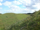
TheCaptain visited on 10th Jun 2024 - their rating: Cond: 5 Amb: 4 Access: 4 A recommended visit from the bar lady at the Binham pub, to occupy a loose hour. Its really impressive in its scale and completeness. Lots of orchids are flowering on the banks in the sunshine.
Arjessa visited on 19th May 2018 - their rating: Cond: 5 Access: 3 Lovely little village of Warham nearby. We parked the car just across from the Three Horseshoes Public House where we returned for lunch afterwards. The walk to the encampment requires about a half a mile stroll along the lane, then a further walk along public walkway. Such a huge hill-fort, took us a while to find where the entrance was! Fantastic to see.
Orcinus visited on 1st Jun 2000 - their rating: Cond: 4 Amb: 4 Access: 4
Catrinm dereklongman1 have visited here
Average ratings for this site from all visit loggers: Condition: 4.67 Ambience: 4 Access: 3.67

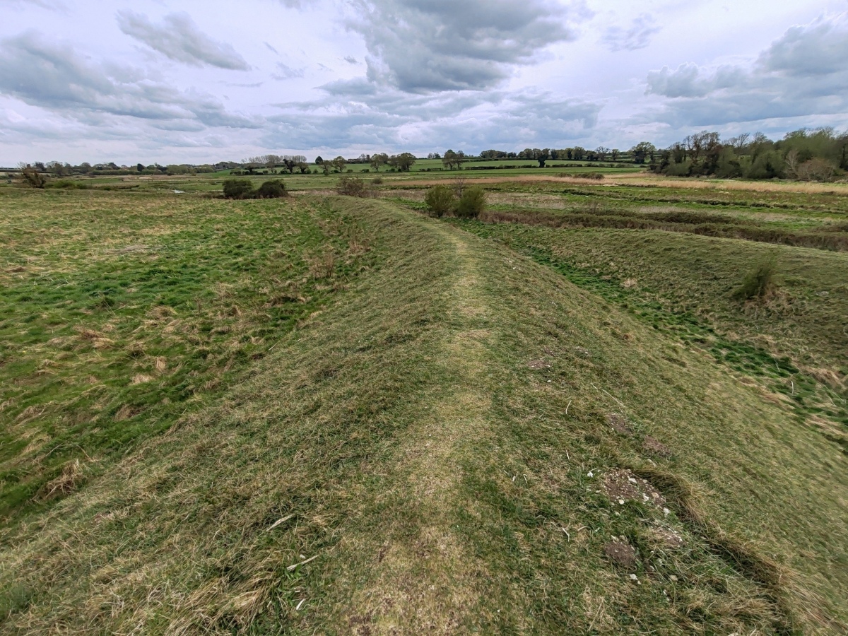
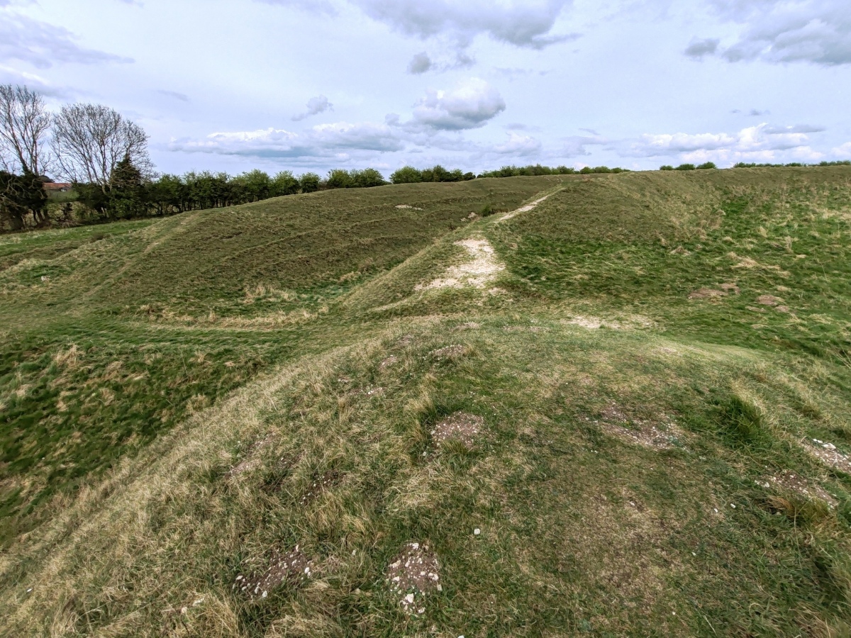
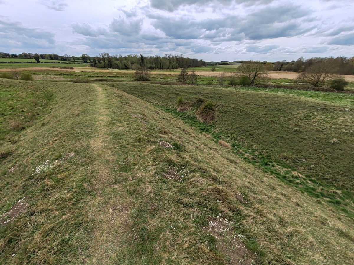
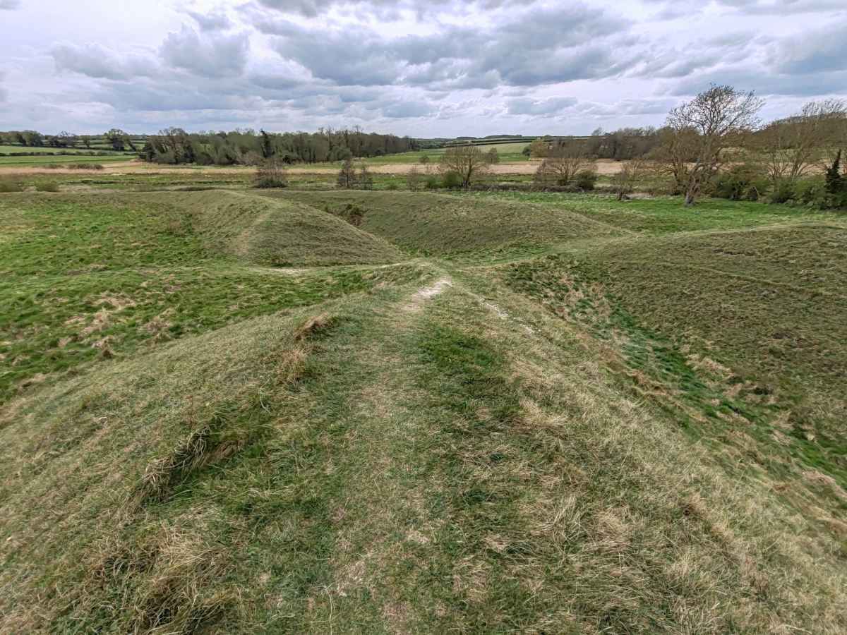
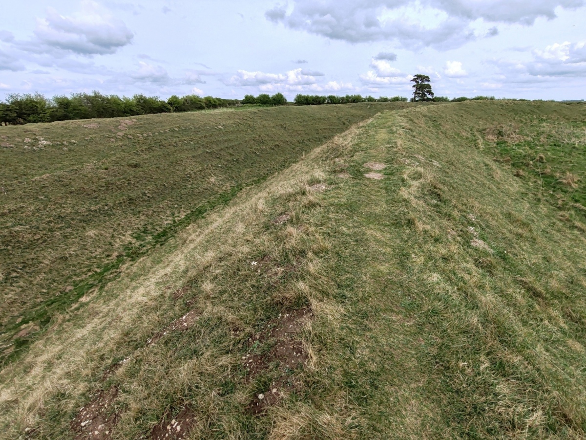
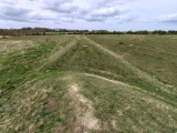
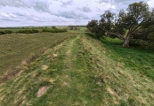
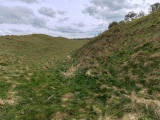
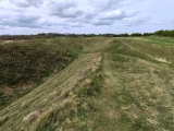
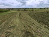
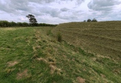
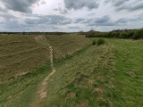
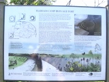
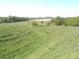
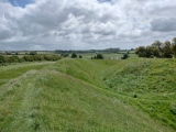
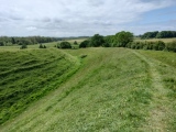
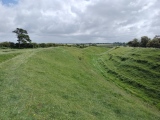
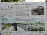
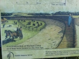
Warham Camp is between Warham All Saints and Wighton in Norfolk. It is not visible from the road. Take the road south out of Warham, over a narrow bridge and a few hundred yards later you come to a passing place with two gates. There is no immediately convenient parking, access is from a narrow lane by a grass track. The right hand gate is the track down to the camp. Described by James Dyer as 'The most magnificent hillfort in Norfolk'.
Page originally by Vicky with additions by Andy H.
Note: Free ebook: Archaeology for Wellbeing at Warham Camp follows the later prehistoric Norfolk Project wellbeing and artistic activities during excavations at Warham Camp in 2023, details in the comments
You may be viewing yesterday's version of this page. To see the most up to date information please register for a free account.
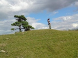
These are just the first 25 photos of Warham Camp. If you log in with a free user account you will be able to see our entire collection.
Do not use the above information on other web sites or publications without permission of the contributor.
Click here to see more info for this site
Nearby sites
Key: Red: member's photo, Blue: 3rd party photo, Yellow: other image, Green: no photo - please go there and take one, Grey: site destroyed
Download sites to:
KML (Google Earth)
GPX (GPS waypoints)
CSV (Garmin/Navman)
CSV (Excel)
To unlock full downloads you need to sign up as a Contributory Member. Otherwise downloads are limited to 50 sites.
Turn off the page maps and other distractions
Nearby sites listing. In the following links * = Image available
1.8km E 87° Fiddler's Hill (Norfolk)* Round Barrow(s) (TF96134105)
4.1km SSW 194° Our Lady of Walsingham Holy Well* Holy Well or Sacred Spring (TF9355136894)
4.2km SSW 193° Little Walsingham Holy Well* Holy Well or Sacred Spring (TF93603678)
7.9km WNW 301° Holkham Camp* Hillfort (TF87454468)
8.0km ENE 72° Blakeney Downs Barrows Round Barrow(s) (TG01864365)
9.3km WNW 284° Leath House Roman Barrow* Barrow Cemetery (TF852427)
11.1km WSW 242° South Creake* Hillfort (TF848352)
11.8km W 278° Burnham Market* Round Barrow(s) (TF826421)
12.0km E 84° The Hangs* Round Barrow(s) (TG06304270)
13.6km E 86° Salthouse Heath* Barrow Cemetery (TG07974241)
14.3km WNW 286° Burnham Deepdale* Early Christian Sculptured Stone (TF804443)
14.5km SW 228° Wicken Covert Barrow Round Barrow(s) (TF83973081)
14.9km SW 229° Coxford Heath Barrow Round Barrow(s) (TF83493070)
16.4km WNW 283° Branodunum Stone Fort or Dun (TF78214402)
17.7km S 190° Whissonsett wheel-head cross* Ancient Cross (TF91922334)
19.0km E 92° Howe’s Hill Oval Barrow* Round Barrow(s) (TG1340941007)
19.7km WSW 241° Bircham Common Barrows* Barrow Cemetery (TF775306)
19.8km S 169° North Elmham Chapel* Ancient Temple (TF9888121640)
20.0km E 90° Church Conduit* Holy Well or Sacred Spring (TG144418)
20.4km SW 221° West Rudham* Round Barrow(s) (TF81652495)
20.4km SW 223° West Rudham Cursus Cursus (TF810254)
20.4km SW 223° West Rudham North* Long Barrow (TF8104325337)
20.7km SW 223° West Rudham South* Long Barrow (TF8094125116)
21.8km W 277° Beacon Hill (Norfolk) Ancient Village or Settlement (TF72534255)
22.2km SSW 204° Litcham Heath* Round Barrow(s) (TF863202)
View more nearby sites and additional images


 We would like to know more about this location. Please feel free to add a brief description and any relevant information in your own language.
 Wir möchten mehr über diese Stätte erfahren. Bitte zögern Sie nicht, eine kurze Beschreibung und relevante Informationen in Deutsch hinzuzufügen.
 Nous aimerions en savoir encore un peu sur les lieux. S'il vous plaît n'hesitez pas à ajouter une courte description et tous les renseignements pertinents dans votre propre langue.
 Quisieramos informarnos un poco más de las lugares. No dude en añadir una breve descripción y otros datos relevantes en su propio idioma.