<< Our Photo Pages >> Kit's Coty. - Burial Chamber or Dolmen in England in Kent
Submitted by vicky on Friday, 27 April 2012 Page Views: 47184
Neolithic and Bronze AgeSite Name: Kit's Coty. Alternative Name: Kit's Coty House; Kits Coty HouseCountry: England County: Kent Type: Burial Chamber or Dolmen
Nearest Town: Rochester Nearest Village: Aylesford
Map Ref: TQ7448660856 Landranger Map Number: 178
Latitude: 51.320050N Longitude: 0.502612E
Condition:
| 5 | Perfect |
| 4 | Almost Perfect |
| 3 | Reasonable but with some damage |
| 2 | Ruined but still recognisable as an ancient site |
| 1 | Pretty much destroyed, possibly visible as crop marks |
| 0 | No data. |
| -1 | Completely destroyed |
| 5 | Superb |
| 4 | Good |
| 3 | Ordinary |
| 2 | Not Good |
| 1 | Awful |
| 0 | No data. |
| 5 | Can be driven to, probably with disabled access |
| 4 | Short walk on a footpath |
| 3 | Requiring a bit more of a walk |
| 2 | A long walk |
| 1 | In the middle of nowhere, a nightmare to find |
| 0 | No data. |
| 5 | co-ordinates taken by GPS or official recorded co-ordinates |
| 4 | co-ordinates scaled from a detailed map |
| 3 | co-ordinates scaled from a bad map |
| 2 | co-ordinates of the nearest village |
| 1 | co-ordinates of the nearest town |
| 0 | no data |
Internal Links:
External Links:
I have visited· I would like to visit
wildtalents would like to visit
GardenerA visited on 24th Dec 2023 - their rating: Amb: 3 Access: 4
NigelS visited on 19th Apr 2019 - their rating: Cond: 4 Amb: 5 Access: 3
Brian_Eyes visited on 1st Jan 2016 - their rating: Cond: 3 Amb: 5 Access: 4
markhewins visited on 21st Aug 2014 - their rating: Access: 4 Beaut. Very cute.
Majick123 visited on 1st Apr 2012 - their rating: Cond: 3 Amb: 4 Access: 4 Parking is a problem, but there is a Lay by about 300yds from the site, however access from there requires walking along the busy Rochester Road to Pilgrims way with no foot path. Once you are at the path (Signposted with Ancient Monument) the walk is up a steep path next to the field with the monument in it. The monument is now kept by English Heritage behind black iron railings, however this dose not take away from how impressive the site is. From this monument you can see where the Coldrum stones are and you can just immagine how it would have looked 3000 years ago when the tombs were complete and in all there former glory!! Th3y would have dominated the landscape!
SolarMegalith visited on 1st Jul 2008 - their rating: Cond: 4 Amb: 3 Access: 4
MarbleArch visited on 1st Jun 1994 Nearly 30 years ago was my one and only visit to this magnificent monument and I don't remember it being surrounded by those unsightly, though probably necessary, railings. Either they have been installed since or the memory chooses to remove them.
Twistytwirly visited - their rating: Cond: 3 Amb: 3 Access: 3
froggyabbie visited - their rating: Cond: 5 Amb: 5 Access: 3
NickyD Bladup ScottHK DrewParsons TheCaptain Kwacker have visited here
Average ratings for this site from all visit loggers: Condition: 3.67 Ambience: 4 Access: 3.63

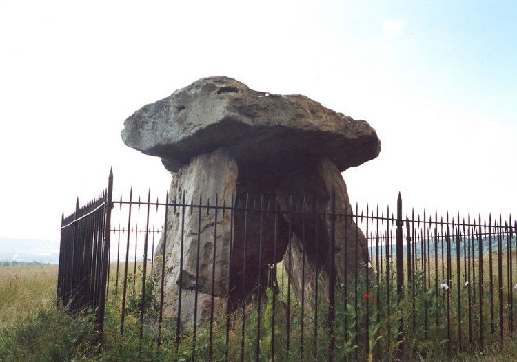
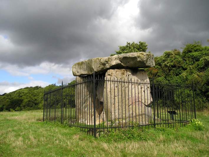
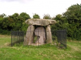
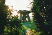
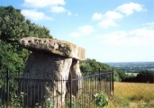
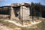
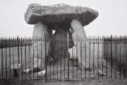
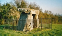
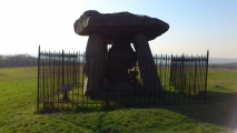
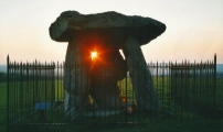
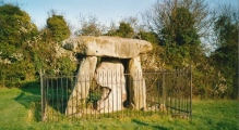
All that remains of Kits Coty are three large standing stones and a capstone making up part of the chamber of a long barrow. The mound is roughly 70 metres long and is still about 1 metre high. The main axis is slightly south of east.
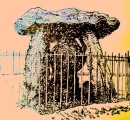
It is thought that the mound was about 15 metres wide and was contained within a peristalith. Early prints show a large stone marking the west end: this was called the General's Tombstone and was blown up in 1867, allegedly because it made ploughing difficult.
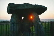
Kits Coty is still much visited today, and many people come to celebrate the summer and winter solstices.
The above information was extracted from the now defunct site "Kent in Kaos". This is one of the Medway Megaliths.
For more information see the scheduling information at Historic England List ID 1012939 and Pastscape Monument No. 416421. The Journal of Antiquities also includes an entry for Kit’s Coty, Walderslade, Kent, which includes directions for finding this site, a drawing of Kit's Coty Burial Chamber, and background information. The Journal adds: "Although the monument dates back more than 4,000 years to the Neolithic age, the name is derived from a Dark Age prince called Catigern, son of Vortigern who, according to legend, died in a battle against the Saxons, under Hengest and Horsa, at or near Aylesford in 455 AD. 400 metres to the south, beside the Aylesford road, can be found another ancient monument called Little Kit’s Coty or “the Countless Stones” where there are a number of recumbant stones, which once formed a second burial chamber".
Note: Morris dancing at Kits Coty, Bluebell Hill and the Coldrum stones at dawn on May 1st.
You may be viewing yesterday's version of this page. To see the most up to date information please register for a free account.




These are just the first 25 photos of Kit's Coty.. If you log in with a free user account you will be able to see our entire collection.
Do not use the above information on other web sites or publications without permission of the contributor.
Click here to see more info for this site
Nearby sites
Key: Red: member's photo, Blue: 3rd party photo, Yellow: other image, Green: no photo - please go there and take one, Grey: site destroyed
Download sites to:
KML (Google Earth)
GPX (GPS waypoints)
CSV (Garmin/Navman)
CSV (Excel)
To unlock full downloads you need to sign up as a Contributory Member. Otherwise downloads are limited to 50 sites.
Turn off the page maps and other distractions
Nearby sites listing. In the following links * = Image available
460m S 190° Little Kit's Coty* Burial Chamber or Dolmen (TQ74426040)
544m WSW 243° Coffin Stone* Standing Stone (Menhir) (TQ74016059)
605m WSW 257° Pilgrims Way 4 Ancient Trackway (TQ739607)
693m SSW 208° Tottington Stone* Standing Stone (Menhir) (TQ7418660231)
715m SW 230° Great Tottington Farm Natural Stone / Erratic / Other Natural Feature (TQ73956038)
742m NW 319° Pilgrim Spring* Holy Well or Sacred Spring (TQ73986140)
886m ESE 116° Smythe's Megalith Chambered Tomb (TQ753605)
896m SE 137° Lower White Horse Stone* Standing Stone (Menhir) (TQ75126022)
956m S 181° Cossington Spring* Holy Well or Sacred Spring (TQ745599)
973m SE 130° White Horse Stone Neolithic Longhouse Ancient Village or Settlement (TQ7525060250)
997m SSE 151° Aylesford Megalith Long Barrow (TQ750600)
1.0km SE 124° White Horse Stone* Chambered Tomb (TQ75356032)
1.2km NNW 339° Blue Bell Hill Sarsons Burial Chamber or Dolmen (TQ740620)
1.4km ESE 115° White Horse Spring* Holy Well or Sacred Spring (TQ758603)
1.5km WNW 293° Haly Garden (Burham) Holy Well or Sacred Spring (TQ731614)
1.8km ENE 60° Stones off Impton Lane* Natural Stone / Erratic / Other Natural Feature (TQ7601561793)
2.2km NE 50° Walderslade Wood Sarsons* Natural Stone / Erratic / Other Natural Feature (TQ761623)
3.2km WNW 300° Burham causewayed enclosure* Causewayed Enclosure (TQ71666238)
3.4km ENE 68° Lordswood Sarsen Stones (Buxton/Iona Close)* Natural Stone / Erratic / Other Natural Feature (TQ7762262215)
3.5km ENE 67° Lordswood Sarsen Stones* Natural Stone / Erratic / Other Natural Feature (TQ7771162358)
3.6km WNW 289° Battle of the Medway Stone* Modern Stone Circle etc (TQ710619)
4.1km ESE 101° Grange Farm Dene Hole Ancient Mine, Quarry or other Industry (TQ785602)
4.1km NNW 332° Wouldham Barrow Round Barrow(s) (TQ72456445)
4.3km ESE 120° Pilgrims Way 5 Ancient Trackway (TQ783588)
4.3km NE 48° Lordswood Barrow Round Barrow(s) (TQ776639)
View more nearby sites and additional images


 We would like to know more about this location. Please feel free to add a brief description and any relevant information in your own language.
 Wir möchten mehr über diese Stätte erfahren. Bitte zögern Sie nicht, eine kurze Beschreibung und relevante Informationen in Deutsch hinzuzufügen.
 Nous aimerions en savoir encore un peu sur les lieux. S'il vous plaît n'hesitez pas à ajouter une courte description et tous les renseignements pertinents dans votre propre langue.
 Quisieramos informarnos un poco más de las lugares. No dude en añadir una breve descripción y otros datos relevantes en su propio idioma.