<< Our Photo Pages >> Coldrum - Chambered Tomb in England in Kent
Submitted by DrewParsons on Tuesday, 05 December 2023 Page Views: 44195
Neolithic and Bronze AgeSite Name: Coldrum Alternative Name: Coldrum StonesCountry: England County: Kent Type: Chambered Tomb
Nearest Town: Rochester Nearest Village: Troseley
Map Ref: TQ65446072 Landranger Map Number: 177
Latitude: 51.321528N Longitude: 0.372855E
Condition:
| 5 | Perfect |
| 4 | Almost Perfect |
| 3 | Reasonable but with some damage |
| 2 | Ruined but still recognisable as an ancient site |
| 1 | Pretty much destroyed, possibly visible as crop marks |
| 0 | No data. |
| -1 | Completely destroyed |
| 5 | Superb |
| 4 | Good |
| 3 | Ordinary |
| 2 | Not Good |
| 1 | Awful |
| 0 | No data. |
| 5 | Can be driven to, probably with disabled access |
| 4 | Short walk on a footpath |
| 3 | Requiring a bit more of a walk |
| 2 | A long walk |
| 1 | In the middle of nowhere, a nightmare to find |
| 0 | No data. |
| 5 | co-ordinates taken by GPS or official recorded co-ordinates |
| 4 | co-ordinates scaled from a detailed map |
| 3 | co-ordinates scaled from a bad map |
| 2 | co-ordinates of the nearest village |
| 1 | co-ordinates of the nearest town |
| 0 | no data |
Internal Links:
External Links:
I have visited· I would like to visit
SumDoood whese001 would like to visit
beagle visited on 27th Jul 2023 - their rating: Cond: 3 Amb: 4 Access: 4 Lovely spot
kantonkats visited on 29th Nov 2022 - their rating: Cond: 3 Amb: 3 Access: 5
NigelS visited on 7th Jun 2020 - their rating: Cond: 2 Amb: 5 Access: 3
Skywalker visited on 22nd Jun 2019 - their rating: Cond: 3 Amb: 4 Access: 4 Participated in the Kent Gorsedd, summer solstice celebration. Site has an ambience and presence , especially when nobody else around
Brian_Eyes visited on 1st Feb 2017 - their rating: Cond: 3 Amb: 5 Access: 3
ocifant visited on 12th Oct 2014 - their rating: Cond: 3 Access: 3 Had the place to myself early on a Sunday morning. Sad to see the grass is still blackened from a fire after all these years. Why do people do it? If you must hold rituals, use a firebowl.
NickyD visited on 1st Mar 2014 - their rating: Cond: 3 Amb: 4 Access: 2
TigerFlea visited on 13th May 2012 - their rating: Cond: 3 Amb: 4 Access: 3
Majick123 visited on 1st Apr 2012 - their rating: Cond: 4 Amb: 5 Access: 3 There is some parking provided by the National Trust, but from there the walk is on an unmade path and through a field, so if you can avoid going on a wet day that would be best! Upon reaching the site, the mood is amazing with the wind rustling through the trees and the ribbons and bells tied to one of the trees. The National trust have provided steps and a path around the monument and also signs and information. The first time I walked up the steep stairs and saw the stones it took my breath away! I feel privileged to live so close to this site, and amazed that I did not know about the site until I was 32 years of age!
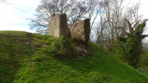
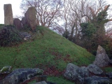
wildtalents visited on 1st Jun 2003 - their rating: Cond: 3 Amb: 4 Access: 3 An amazing site: a really steeply banked mound with the chambered tomb about two-thirds the way up - I've never seen anything quite like it. There are a number of decent sized kerb stones around the front part of the mound which a nearby sign describes as a stone circle. The mound kind of merges with the landscape at the back so you can walk around the gentler slope to the left and sit up top looking down upon the tomb.
coldrum visited - their rating: Cond: 3 Amb: 4 Access: 4
Andy B: would like to visit Featured in Episode Two of BBC's History of Ancient Britain with Neil Oliver
Twistytwirly visited - their rating: Cond: 3 Amb: 4 Access: 3
DrewParsons TheCaptain have visited here
Average ratings for this site from all visit loggers: Condition: 3 Ambience: 4.18 Access: 3.33

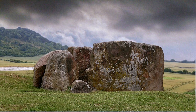
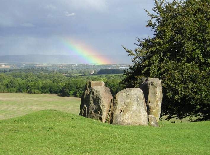
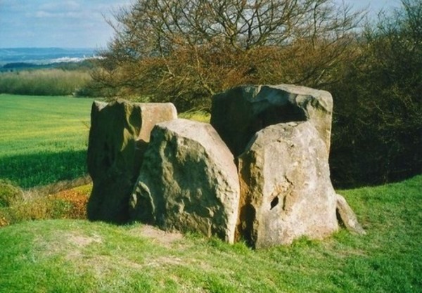
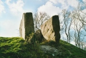
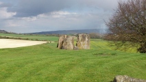
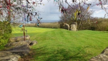
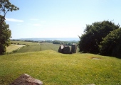
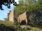
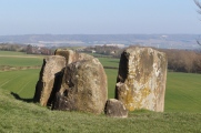
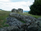
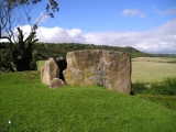
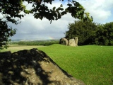
It is situated overlooking the Medway Valley and is orientated east-west with a rectangular burial chamber of four large sarsens at the east end. The eastern side has fallen down the slope, but the chamber remains and has been partially restored. The mound is surrounded by medium sized sarsen stones which form a peristalith and is about 20 metres long. At the turn of the century there was still a medial stone in the burial chamber.
The site has been excavated many times, one excavation producing the bones of 20+ individuals of varying ages and both sexes.
The barrow apparently takes its name from the nearby farmhouse "Coldrum Lodge" built in 1796. (The farmhouse is no longer there). No earlier forms of the name are recorded.
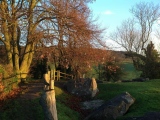
Nowadays Coldrums is still used as a place for meditation and quiet thought, and the solstices and equinoxes are celebrated here. The overhanging tree is bright with pretty ribbons, corndollies, and other little gifts.
(text taken from the defunct 'Kent in Kaos' web site)
Kent Archaeological Society have completed digitising their archive of back issues of the journal Archaeologia Cantiana. You can access the archive of 132 volumes, each one comprising several hundred pages of papers, reviews and articles from 1858 up to 2013 here. See the comment below for a good example of the contents - Coldrum Revisited and Reviewed by Paul Ashbee from 1998
Note: Recent multi isotope analysis of bones from early 20th Century excavations at Coldrum has revealed that as well as being very early Neolithic, the site was also re-used for burial in the early medieval period. More in the comments
You may be viewing yesterday's version of this page. To see the most up to date information please register for a free account.




These are just the first 25 photos of Coldrum. If you log in with a free user account you will be able to see our entire collection.
Do not use the above information on other web sites or publications without permission of the contributor.
Click here to see more info for this site
Nearby sites
Key: Red: member's photo, Blue: 3rd party photo, Yellow: other image, Green: no photo - please go there and take one, Grey: site destroyed
Download sites to:
KML (Google Earth)
GPX (GPS waypoints)
CSV (Garmin/Navman)
CSV (Excel)
To unlock full downloads you need to sign up as a Contributory Member. Otherwise downloads are limited to 50 sites.
Turn off the page maps and other distractions
Nearby sites listing. In the following links * = Image available
259m SSE 166° Addington Sarsens Natural Stone / Erratic / Other Natural Feature (TQ65516047)
651m ENE 77° Ryarsh Sarson Stones Natural Stone / Erratic / Other Natural Feature (TQ66076089)
1.5km NNW 341° White Horse Wood Barrow Round Barrow(s) (TQ649621)
1.6km S 188° Chestnuts* Long Barrow (TQ65265917)
1.6km S 186° Addington Long Barrow* Long Barrow (TQ65335910)
2.1km SW 231° Mount Mead* Round Barrow(s) (TQ63835933)
2.5km N 5° Cock Adam Shaw Natural Stone / Erratic / Other Natural Feature (TQ65576323)
3.3km NNE 26° Dode Church Well* Holy Well or Sacred Spring (TQ668637)
4.2km SSE 151° St Leonard's Well (West Malling)* Holy Well or Sacred Spring (TQ6763557095)
4.5km WSW 253° Gateway granites* Ancient Trackway (TQ61175924)
5.0km ESE 113° Larkfield Cairnfield (Maidstone) Cairn (TQ70155891)
5.6km N 351° St John The Baptist Church Sarson Stone Natural Stone / Erratic / Other Natural Feature (TQ644662)
5.7km E 80° Battle of the Medway Stone* Modern Stone Circle etc (TQ710619)
5.9km NE 48° Halling Barrow Round Barrow(s) (TQ69686480)
6.4km NE 46° Pilgrims Way 1 Ancient Trackway (TQ699653)
6.4km ENE 77° Burham causewayed enclosure* Causewayed Enclosure (TQ71666238)
7.5km S 171° Pizien Well Holy Well or Sacred Spring (TQ668533)
7.6km ENE 62° Pilgrims Way 3 Ancient Trackway (TQ720645)
7.7km E 87° Haly Garden (Burham) Holy Well or Sacred Spring (TQ731614)
7.8km NNE 14° Billy Stump's stone* Natural Stone / Erratic / Other Natural Feature (TQ671683)
7.9km NNE 12° Cobham Megalith Burial Chamber or Dolmen (TQ669685)
7.9km ENE 64° Wouldham Barrow Round Barrow(s) (TQ72456445)
8.0km NE 41° Cucola's Stone Marker Stone (TQ705669)
8.0km SW 234° Redwell springs Holy Well or Sacred Spring (TQ591558)
8.2km WSW 240° Oldbury Rock Shelters* Cave or Rock Shelter (TQ5848056439)
View more nearby sites and additional images


 We would like to know more about this location. Please feel free to add a brief description and any relevant information in your own language.
 Wir möchten mehr über diese Stätte erfahren. Bitte zögern Sie nicht, eine kurze Beschreibung und relevante Informationen in Deutsch hinzuzufügen.
 Nous aimerions en savoir encore un peu sur les lieux. S'il vous plaît n'hesitez pas à ajouter une courte description et tous les renseignements pertinents dans votre propre langue.
 Quisieramos informarnos un poco más de las lugares. No dude en añadir una breve descripción y otros datos relevantes en su propio idioma.