<< Our Photo Pages >> Flag Fen Visitors Centre - Museum in England in Cambridgeshire
Submitted by Andy B on Wednesday, 16 February 2022 Page Views: 53535
MuseumsSite Name: Flag Fen Visitors Centre Alternative Name: Flag Fen Archaeology ParkCountry: England
NOTE: This site is 0.2 km away from the location you searched for.
County: Cambridgeshire Type: Museum
Nearest Town: Peterborough
Map Ref: TL227989 Landranger Map Number: 142
Latitude: 52.574087N Longitude: 0.190842W
Condition:
| 5 | Perfect |
| 4 | Almost Perfect |
| 3 | Reasonable but with some damage |
| 2 | Ruined but still recognisable as an ancient site |
| 1 | Pretty much destroyed, possibly visible as crop marks |
| 0 | No data. |
| -1 | Completely destroyed |
| 5 | Superb |
| 4 | Good |
| 3 | Ordinary |
| 2 | Not Good |
| 1 | Awful |
| 0 | No data. |
| 5 | Can be driven to, probably with disabled access |
| 4 | Short walk on a footpath |
| 3 | Requiring a bit more of a walk |
| 2 | A long walk |
| 1 | In the middle of nowhere, a nightmare to find |
| 0 | No data. |
| 5 | co-ordinates taken by GPS or official recorded co-ordinates |
| 4 | co-ordinates scaled from a detailed map |
| 3 | co-ordinates scaled from a bad map |
| 2 | co-ordinates of the nearest village |
| 1 | co-ordinates of the nearest town |
| 0 | no data |
Internal Links:
External Links:
I have visited· I would like to visit
DrewParsons church-grim would like to visit
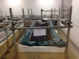
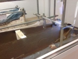
wildtalents visited on 21st Apr 2023 - their rating: Cond: 3 Amb: 3 Access: 4 It's a little bit disappointing to be honest, though I liked the replica huts and the actual causeway remains, constantly kept wet to try and slow down the rot. Although the painted walls are a bit crudely rendered they do a good job of showing how the preserved wooden stakes would have intersected with the remainder of the site. So sad that there's so little to show for it, but I'm glad I visited and picked up quite a nice quartz geode in the shop (and a signed Franny Prior book).
Marko visited on 14th May 2022 - their rating: Cond: 2 Amb: 3 Access: 5
pawel visited on 1st Jul 2018 - their rating: Cond: 2 Amb: 4 Access: 5
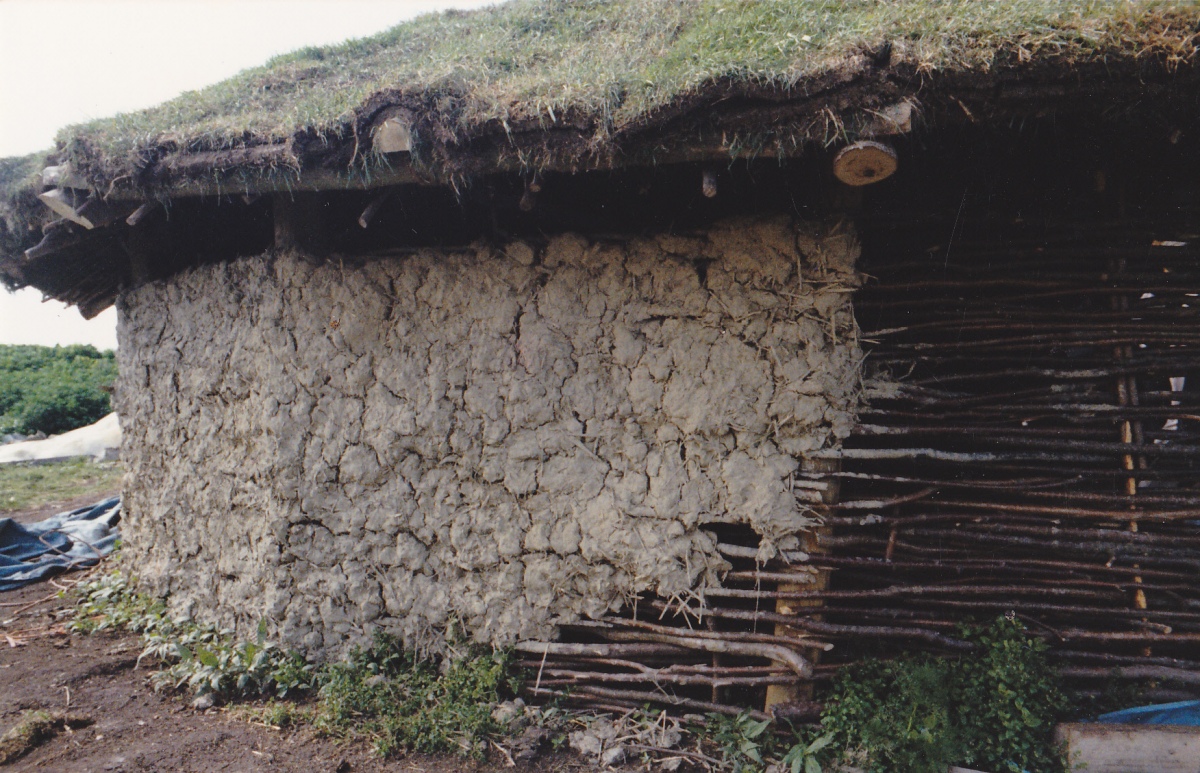
Andy B visited on 15th Jan 2005 Reconstructions of Bronze Age houses shown in Episode Four of BBC's History of Ancient Britain
Orcinus visited on 1st Jan 1989 - their rating: Amb: 3
NickyD have visited here
Average ratings for this site from all visit loggers: Condition: 2.33 Ambience: 3.25 Access: 4.67
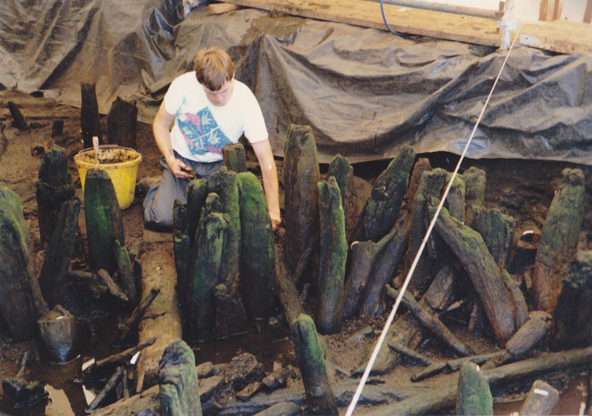
Between the posts of the causeway, timbers had been built up horizontally in ancient times, providing a "bridge" or dry surface for transportation across the wet lowland upon which the timber structures were built, connecting a higher level land area on its east with a higher level area on its west.
Now includes a fascinating visitor centre which is essential visiting if you are in the area.
Address: The Droveway, Northey Road, Peterborough, PE6 7QJ
Phone: 01733 864468
Opening Hours:Feb 6th to October the 31st for general public access although some workshops and events occur in Nov and Dec) . Closed on Mondays unless it is a Bank Holiday.
Admission: Charge
Visit their web site.
Archive of their old web site which has a nice animated map on it.
Note: Flag Fen Visitors Centre and Peterborough Museum narrowly escaped closure this year. Get out and visit our precious museums and galleries, spend some money in the cafe and shop, they need our support.
You may be viewing yesterday's version of this page. To see the most up to date information please register for a free account.




Do not use the above information on other web sites or publications without permission of the contributor.
Click here to see more info for this site
Nearby sites
Key: Red: member's photo, Blue: 3rd party photo, Yellow: other image, Green: no photo - please go there and take one, Grey: site destroyed
Download sites to:
KML (Google Earth)
GPX (GPS waypoints)
CSV (Garmin/Navman)
CSV (Excel)
To unlock full downloads you need to sign up as a Contributory Member. Otherwise downloads are limited to 50 sites.
Turn off the page maps and other distractions
Nearby sites listing. In the following links * = Image available
1.6km SE 144° Must Farm* Ancient Village or Settlement (TL237976)
2.9km N 11° Oliver Cromwell's Hill (Eye) Cairn (TF232018)
3.3km W 268° Hedda Stone* Early Christian Sculptured Stone (TL194987)
3.4km WSW 240° Fletton Cross* Ancient Cross (TL198971)
3.7km W 265° Peterborough Stone* Standing Stone (Menhir) (TL190985)
3.8km W 265° Peterborough Museum* Museum (TL189985)
5.9km NE 37° Pode Hole Farm Round Barrow(s) (TF262037)
5.9km W 264° St. Cloud's Well (Longthorpe)* Holy Well or Sacred Spring (TL16789815)
7.2km SW 229° Stone Circle, James' Pond* Modern Stone Circle etc (TL17309405)
8.7km W 268° Robin Hood and Little John* Standing Stones (TL1395098389)
9.1km NNW 338° Borough Fen* Hillfort (TF19080727)
11.5km W 265° Water Newton Mill Bowl Barrow* Round Barrow(s) (TL11269770)
12.0km NW 325° Northborough Causewayed Enclosure Causewayed Enclosure (TF155085)
12.2km NNE 13° Crowland Henge* Henge (TF25061086)
12.4km WNW 304° St Botolph (Helpston) Ancient Cross (TF12200552)
12.6km NW 315° Etton Causewayed Enclosure* Causewayed Enclosure (TF135075)
12.7km NW 314° Maxey Cursus Cursus (TF133074)
13.3km W 278° Upton Causewayed Enclosure Causewayed Enclosure (TF095005)
13.4km NW 313° Maxey Henge Henge (TF12600772)
13.4km NW 312° Maxey Pit Circle A Timber Circle (TF125077)
13.5km NW 313° Maxey Pit Circle A Timber Circle (TF125078)
14.4km NW 312° Maxey Cursus Cursus (TF118083)
14.4km NW 312° Maxey Cursus Cursus (TF11800830)
14.9km WNW 303° Bainton Cursus Cursus (TF099066)
15.2km NNW 341° Deeping St Nicholas Round Barrow(s) (TF174132)
View more nearby sites and additional images


 We would like to know more about this location. Please feel free to add a brief description and any relevant information in your own language.
 Wir möchten mehr über diese Stätte erfahren. Bitte zögern Sie nicht, eine kurze Beschreibung und relevante Informationen in Deutsch hinzuzufügen.
 Nous aimerions en savoir encore un peu sur les lieux. S'il vous plaît n'hesitez pas à ajouter une courte description et tous les renseignements pertinents dans votre propre langue.
 Quisieramos informarnos un poco más de las lugares. No dude en añadir una breve descripción y otros datos relevantes en su propio idioma.