<< Our Photo Pages >> Dane's Dyke - Ancient Village or Settlement in England in Yorkshire (East)
Submitted by DrOlaf on Monday, 15 May 2017 Page Views: 16783
Iron Age and Later PrehistorySite Name: Dane's DykeCountry: England
NOTE: This site is 2.1 km away from the location you searched for.
County: Yorkshire (East) Type: Ancient Village or Settlement
Nearest Town: Bridlington Nearest Village: Flamborough
Map Ref: TA21317115
Latitude: 54.121908N Longitude: 0.14536W
Condition:
| 5 | Perfect |
| 4 | Almost Perfect |
| 3 | Reasonable but with some damage |
| 2 | Ruined but still recognisable as an ancient site |
| 1 | Pretty much destroyed, possibly visible as crop marks |
| 0 | No data. |
| -1 | Completely destroyed |
| 5 | Superb |
| 4 | Good |
| 3 | Ordinary |
| 2 | Not Good |
| 1 | Awful |
| 0 | No data. |
| 5 | Can be driven to, probably with disabled access |
| 4 | Short walk on a footpath |
| 3 | Requiring a bit more of a walk |
| 2 | A long walk |
| 1 | In the middle of nowhere, a nightmare to find |
| 0 | No data. |
| 5 | co-ordinates taken by GPS or official recorded co-ordinates |
| 4 | co-ordinates scaled from a detailed map |
| 3 | co-ordinates scaled from a bad map |
| 2 | co-ordinates of the nearest village |
| 1 | co-ordinates of the nearest town |
| 0 | no data |
Internal Links:
External Links:
I have visited· I would like to visit
lauraaurora visited on 22nd Mar 2022 - their rating: Cond: 3 Amb: 5 Access: 4
SumDoood visited on 2nd Mar 2017 - their rating: Cond: 3 Amb: 4 Access: 5 Well worth a look. The structure is 4.5kms long and very complete.
drolaf have visited here
Average ratings for this site from all visit loggers: Condition: 3 Ambience: 4.5 Access: 4.5
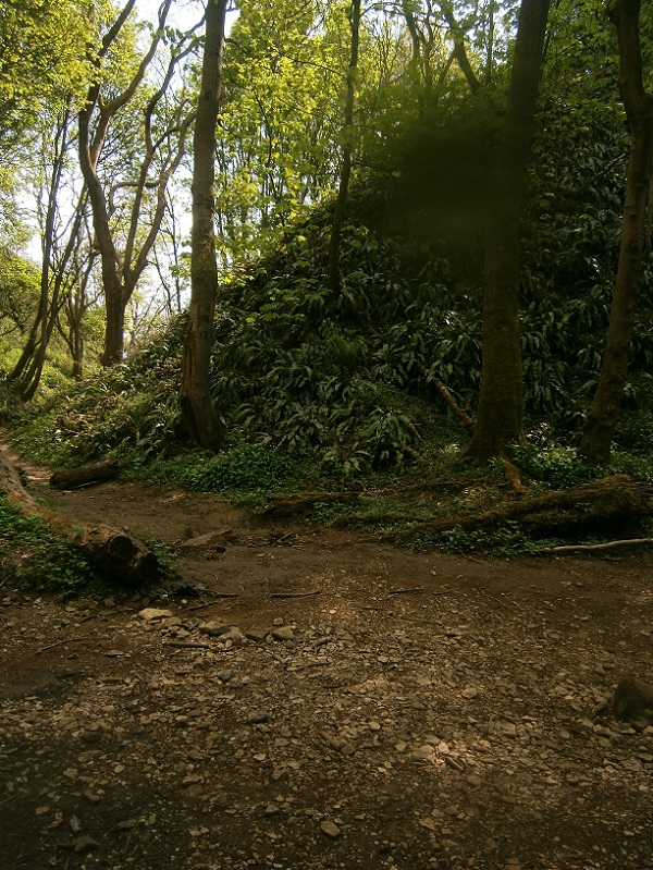
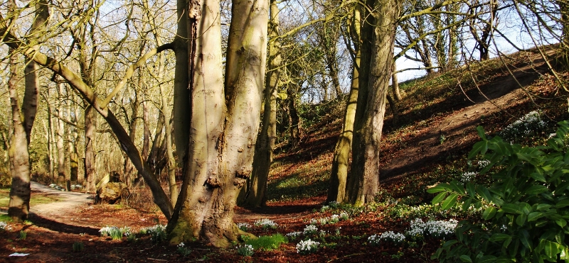
The V shaped cross-section of the main ditch makes this a very significant barrier to passage, as much as the high banks.
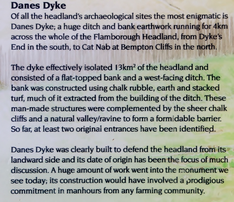
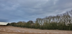
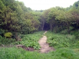
The banks and ditches vary through its length, sometimes single bank, up to three banks, height up to 12m and similar ditches. The Northern end is human made, a single high bank around 3m high and a steep ditch around 2m deep. The south end is a deep ravine formed by a seasonal river in chalk, and artificially enhanced. There is a high bank to the east of the beck dyke with deep ditch between.
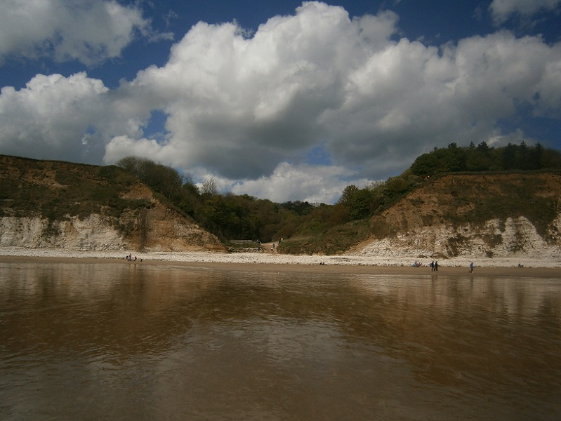
The south end chalk cliff beach is full of chalk fossils. Water runs straight off and out of the chalk cliff and also out of the higher beach sand, so there is a plenteous fresh water source.
Visiting is easy as there is a carpark (£2.90 all day). It is not too crowded by tourists even on a Sunday, and there are nice grass overflow fields. A mixture of families and fossil hunters. Most people don’t go far from the small cafe and toilets.
This is an amazing place to get a feel for what people built over 3000 years ago. As Richard Bradley said, actually the agricultural earthworks of Bronze Age Britain were as much an engineering endeavour as the monuments of the Neolithic.
Page originally by Vicky Morgan
You may be viewing yesterday's version of this page. To see the most up to date information please register for a free account.

Do not use the above information on other web sites or publications without permission of the contributor.
Click here to see more info for this site
Nearby sites
Key: Red: member's photo, Blue: 3rd party photo, Yellow: other image, Green: no photo - please go there and take one, Grey: site destroyed
Download sites to:
KML (Google Earth)
GPX (GPS waypoints)
CSV (Garmin/Navman)
CSV (Excel)
To unlock full downloads you need to sign up as a Contributory Member. Otherwise downloads are limited to 50 sites.
Turn off the page maps and other distractions
Nearby sites listing. In the following links * = Image available
1.3km S 182° Gell Spring* Holy Well or Sacred Spring (TA213698)
2.8km WNW 295° Bempton Stones* Marker Stone (TA18737226)
8.5km W 273° Keld Spring* Holy Well or Sacred Spring (TA128714)
8.9km WNW 299° Knox Well* Holy Well or Sacred Spring (TA134752)
9.4km WSW 251° Caythorpe Misc. Earthwork (TA125678)
10.2km WSW 256° Greenland Fort Hillfort (TA115684)
11.1km W 275° Rudston D Cursus Cursus (TA102719)
11.3km WSW 257° Rudston A Cursus Cursus (TA103684)
11.5km WSW 248° Southside Mount* Round Barrow(s)
11.5km WSW 256° Rudston C Cursus Cursus (TA102680)
11.6km W 269° Maidens Grave* Henge (TA09677063)
12.0km WSW 255° Rudston Monolith* Standing Stone (Menhir) (TA0980367743)
12.0km WSW 255° Rudston D Cursus Cursus (TA097678)
12.4km WSW 254° Rudston B Cursus Cursus (TA094675)
12.6km WSW 246° Rudston Cult Centre* Ancient Village or Settlement (TA099658)
12.6km WSW 246° Rudston A Cursus* Cursus (TA099657)
12.6km WSW 254° Rudston Cursus Group Cursus (TA092674)
12.8km WSW 258° Rudston C Cursus Cursus (TA088682)
12.9km NW 323° Spittals, Filey Brigg* Rock Outcrop (TA133813)
13.0km WSW 246° Rudston Beacon Round Barrow* Round Barrow(s) (TA0945365617)
13.2km NW 316° Filey Roman Signal Station* Ancient Village or Settlement (TA1187080412)
13.5km NW 322° Carr Naze (Filey) Misc. Earthwork (TA1275581605)
13.6km SSW 206° All Saints (Barmston)* Sculptured Stone (TA156588)
13.8km NW 318° Sailors' Well* Holy Well or Sacred Spring (TA117811)
13.8km WSW 254° Rudston B Cursus Cursus (TA081669)
View more nearby sites and additional images


 We would like to know more about this location. Please feel free to add a brief description and any relevant information in your own language.
 Wir möchten mehr über diese Stätte erfahren. Bitte zögern Sie nicht, eine kurze Beschreibung und relevante Informationen in Deutsch hinzuzufügen.
 Nous aimerions en savoir encore un peu sur les lieux. S'il vous plaît n'hesitez pas à ajouter une courte description et tous les renseignements pertinents dans votre propre langue.
 Quisieramos informarnos un poco más de las lugares. No dude en añadir una breve descripción y otros datos relevantes en su propio idioma.