<< Our Photo Pages >> Ramsdale - Standing Stones in England in Yorkshire (North)
Submitted by kelpie on Friday, 14 December 2018 Page Views: 14995
Neolithic and Bronze AgeSite Name: RamsdaleCountry: England County: Yorkshire (North) Type: Standing Stones
Nearest Town: Whitby Nearest Village: Robin Hood's Bay
Map Ref: NZ9206003773 Landranger Map Number: 94
Latitude: 54.421072N Longitude: 0.582713W
Condition:
| 5 | Perfect |
| 4 | Almost Perfect |
| 3 | Reasonable but with some damage |
| 2 | Ruined but still recognisable as an ancient site |
| 1 | Pretty much destroyed, possibly visible as crop marks |
| 0 | No data. |
| -1 | Completely destroyed |
| 5 | Superb |
| 4 | Good |
| 3 | Ordinary |
| 2 | Not Good |
| 1 | Awful |
| 0 | No data. |
| 5 | Can be driven to, probably with disabled access |
| 4 | Short walk on a footpath |
| 3 | Requiring a bit more of a walk |
| 2 | A long walk |
| 1 | In the middle of nowhere, a nightmare to find |
| 0 | No data. |
| 5 | co-ordinates taken by GPS or official recorded co-ordinates |
| 4 | co-ordinates scaled from a detailed map |
| 3 | co-ordinates scaled from a bad map |
| 2 | co-ordinates of the nearest village |
| 1 | co-ordinates of the nearest town |
| 0 | no data |
Internal Links:
External Links:
I have visited· I would like to visit
SumDoood would like to visit
Anne T visited on 15th Aug 2014 - their rating: Cond: 3 Amb: 4 Access: 3 Having escaped the rain and wind in our part of Northumberland, we headed for the east coast, where it was sunny and warm (although windy). However, it was a real relief to escape the sheer numbers of people in Whitby and head for the relative peace of the moors. Heading out of town on the A171, we followed the directions on the Portal site for the Ramsdale Stone Circle, which were spot on, thanks! Driving down the A171, we spotted the footpath we needed about 400 yards north of the junction of the A171 with the B1416, so turned round at the B1416 junction and parked on the grass verge at the edge of the entrance gateway to the track/footpath leading to Ramsdale House/Ramsdale Holiday Cottages.
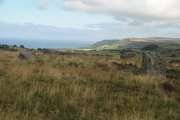
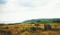
We then followed the metalled track down towards Robin Hoods’ Bay; once over the brow of the hill, the views across to Robin Hood’s Bay were spectacular - we could see the waves breaking on the shore of the bay below.
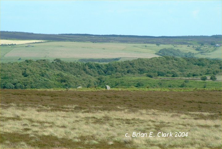
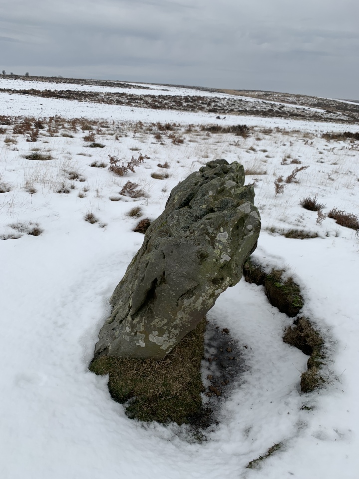
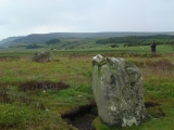
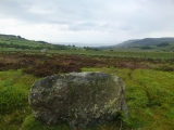
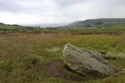
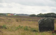
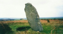
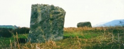
Avoiding being mowed down by the four-wheel drive vehicles which came up and down the track at regular intervals, we missed the track off to the right mentioned in the directions on the Portal (but spotted it on the way back, as it dog-leg’s across the metalled track, rather than going straight across), and ended up following another track down to the gate in the next field boundary. It was then easy to turn and follow the sheep tracks back up the small hill to where the stones where located. The Ramsdale Stones appeared quietly, but suddenly, out of the heather. What a place to build a monument.
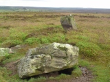
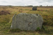
It was odd that there were only three stones, and we wondered (like many others) if there had been a fourth. We wandered around looking for stones under the grass, but only found a number of small, loose stones.
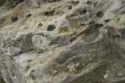
There were clear cup marks on the western most stone, and some possible ones on the northern stone.
The A171, which wasn’t far away, was very busy with Friday afternoon traffic, which spoiled the ambience a little, but the site itself is a lovely place to be. It is only a short walk from the main road, and worth stopping to visit, should you be passing.
kelpie have visited here
Access: Off the A171 to Whitby, just after B1416 junction a gate off to the right signposted Ramsdale leads through a cattle grid to a track across the moor. Half a kilometer on, just over the brow of the hill the track widens out where a small path crosses it. Turn right down the path and continue for 400m. Branch off across the moorland to the right another few hundred meters, and up to a raised area near a tumulus.
You may be viewing yesterday's version of this page. To see the most up to date information please register for a free account.






These are just the first 25 photos of Ramsdale. If you log in with a free user account you will be able to see our entire collection.
Do not use the above information on other web sites or publications without permission of the contributor.
Click here to see more info for this site
Nearby sites
Key: Red: member's photo, Blue: 3rd party photo, Yellow: other image, Green: no photo - please go there and take one, Grey: site destroyed
Download sites to:
KML (Google Earth)
GPX (GPS waypoints)
CSV (Garmin/Navman)
CSV (Excel)
To unlock full downloads you need to sign up as a Contributory Member. Otherwise downloads are limited to 50 sites.
Turn off the page maps and other distractions
Nearby sites listing. In the following links * = Image available
615m NNW 339° Postgate Cross (Graystone Hills)* Ancient Cross (NZ9182504342)
853m SSE 148° Kirkmoor Beck Farm (Fylingthorpe) Stone Circle (NZ92530306)
2.0km WSW 255° Shooting House Rigg BS1* Marker Stone (NZ9016503210)
2.3km WSW 244° John Cross (Shooting House Rigg)* Ancient Cross (NZ9000802704)
2.6km SW 232° Old Wife's Neck* Standing Stones (NZ90060214)
3.5km NNE 29° Boiling Well (Yorkshire)* Holy Well or Sacred Spring (NZ93680689)
3.7km N 3° Low Hawsker Cross* Ancient Cross (NZ922075)
3.9km SE 132° Howdale Moor Barrows* Round Barrow(s) (NZ9500801187)
3.9km ESE 116° Brow Moor RB5* Round Barrow(s) (NZ9563302119)
4.0km SSE 149° Burn Howe Dale RB1* Round Barrow(s) (NZ9415800384)
4.0km ESE 116° Brow Moor RB4* Round Barrow(s) (NZ9572802103)
4.1km SE 140° Stony Marl Ring Cairn 1* Ring Cairn (NZ9472600700)
4.2km ESE 115° Brow Moor RB3* Round Barrow(s) (NZ9593602045)
4.3km SE 133° Grey Horse Stone (Stony Marl Moor)* Standing Stone (Menhir) (NZ9525200936)
4.3km SSE 149° Jugger Howes* Round Barrow(s) (NZ9436800173)
4.4km ESE 115° Brow Moor RB2* Round Barrow(s) (NZ9604301989)
4.4km ESE 114° Brow Moor SS1* Standing Stone (Menhir) (NZ9615702069)
4.4km SE 126° The Map Stone (Fylingdales Moor) Rock Art (NZ957012)
4.5km ESE 114° Brow Moor HC1* Ancient Village or Settlement (NZ9618802066)
4.5km ESE 113° Brow Moor Walkers Cairn* Cairn (NZ9624402084)
4.5km ESE 116° Brow Moor - Rock 2* Rock Art (NZ9615701874)
4.5km ESE 114° Brow Moor - Rock 1.* Rock Art (NZ9622602023)
4.6km ESE 115° Robin Hood's Butts (Stoupe Brow)* Round Barrow(s) (NZ96250193)
4.6km ESE 116° Brow Moor CC1* Cairn (NZ9623101859)
4.6km ESE 115° Brow Moor - Rock 4* Rock Art (NZ9629001919)
View more nearby sites and additional images


 We would like to know more about this location. Please feel free to add a brief description and any relevant information in your own language.
 Wir möchten mehr über diese Stätte erfahren. Bitte zögern Sie nicht, eine kurze Beschreibung und relevante Informationen in Deutsch hinzuzufügen.
 Nous aimerions en savoir encore un peu sur les lieux. S'il vous plaît n'hesitez pas à ajouter une courte description et tous les renseignements pertinents dans votre propre langue.
 Quisieramos informarnos un poco más de las lugares. No dude en añadir una breve descripción y otros datos relevantes en su propio idioma.