<< Our Photo Pages >> Duggleby Howe - Round Barrow(s) in England in Yorkshire (North)
Submitted by PaulH on Wednesday, 18 June 2003 Page Views: 15783
Neolithic and Bronze AgeSite Name: Duggleby HoweCountry: England County: Yorkshire (North) Type: Round Barrow(s)
Nearest Village: Duggleby
Map Ref: SE88046688 Landranger Map Number: 101
Latitude: 54.090307N Longitude: 0.655474W
Condition:
| 5 | Perfect |
| 4 | Almost Perfect |
| 3 | Reasonable but with some damage |
| 2 | Ruined but still recognisable as an ancient site |
| 1 | Pretty much destroyed, possibly visible as crop marks |
| 0 | No data. |
| -1 | Completely destroyed |
| 5 | Superb |
| 4 | Good |
| 3 | Ordinary |
| 2 | Not Good |
| 1 | Awful |
| 0 | No data. |
| 5 | Can be driven to, probably with disabled access |
| 4 | Short walk on a footpath |
| 3 | Requiring a bit more of a walk |
| 2 | A long walk |
| 1 | In the middle of nowhere, a nightmare to find |
| 0 | No data. |
| 5 | co-ordinates taken by GPS or official recorded co-ordinates |
| 4 | co-ordinates scaled from a detailed map |
| 3 | co-ordinates scaled from a bad map |
| 2 | co-ordinates of the nearest village |
| 1 | co-ordinates of the nearest town |
| 0 | no data |
Internal Links:
External Links:
I have visited· I would like to visit
Chappers60 visited on 7th Jul 2024 - their rating: Cond: 3 Amb: 3 Access: 4
lauraaurora visited on 8th Apr 2023 - their rating: Cond: 3 Amb: 3 Access: 3
SumDoood visited on 7th Apr 2017 - their rating: Cond: 3 Amb: 3 Access: 4 Take your imagination with you.
TheWhiteRider visited on 20th Jun 2012 - their rating: Cond: 3 Amb: 4 Access: 4
lscollinson visited on 13th Mar 2010 - their rating: Cond: 3 Amb: 3 Access: 4 This place would have been the Silbury hill of the north in its day.
kelpie have visited here
Average ratings for this site from all visit loggers: Condition: 3 Ambience: 3.2 Access: 3.8

Located at SE 881669
Immediately east of the B1253, just beyond the southern edge of Duggleby village.
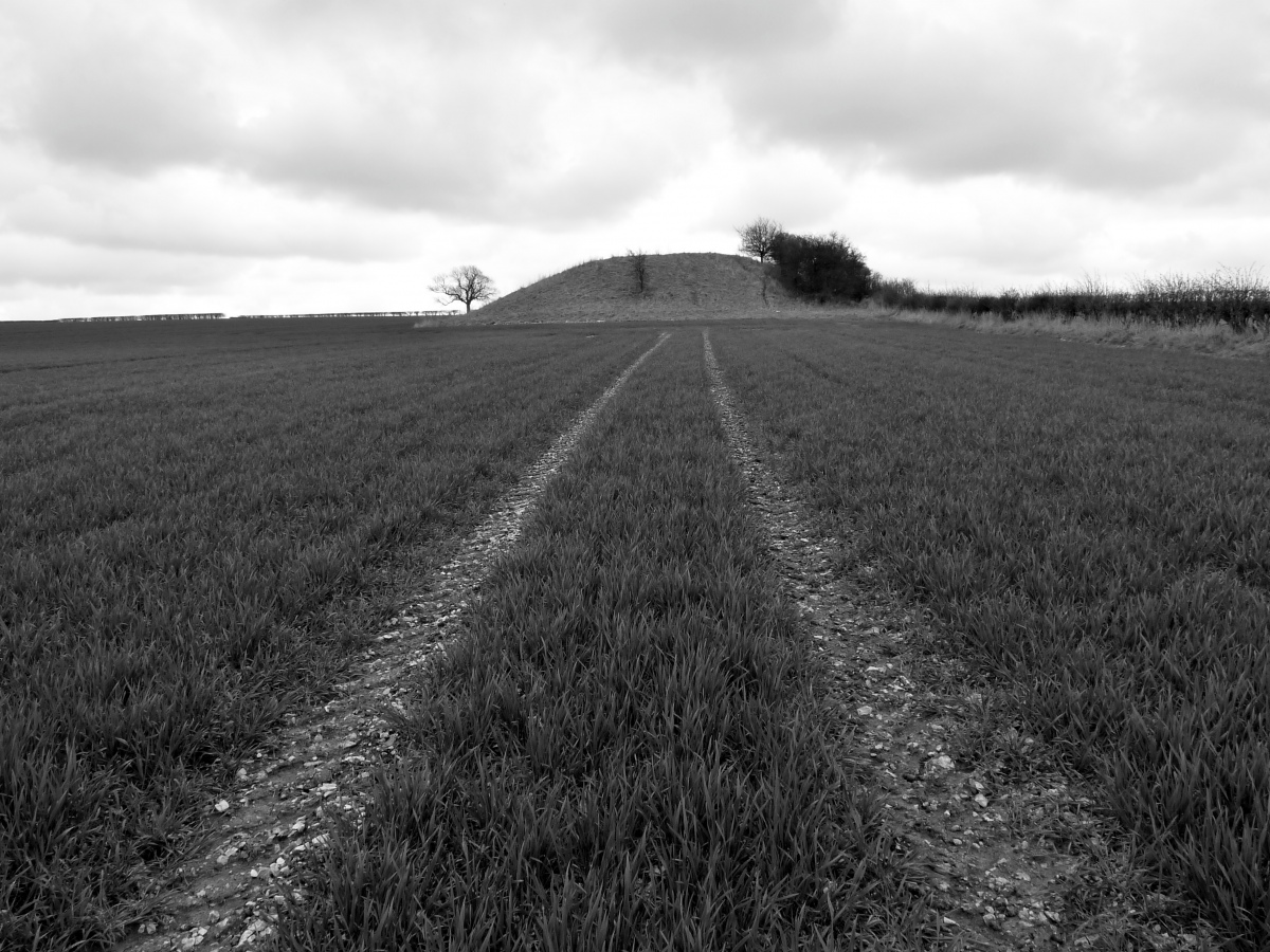
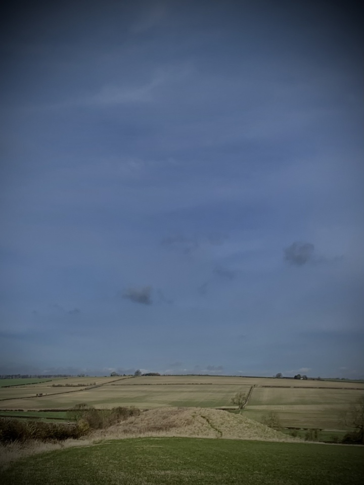
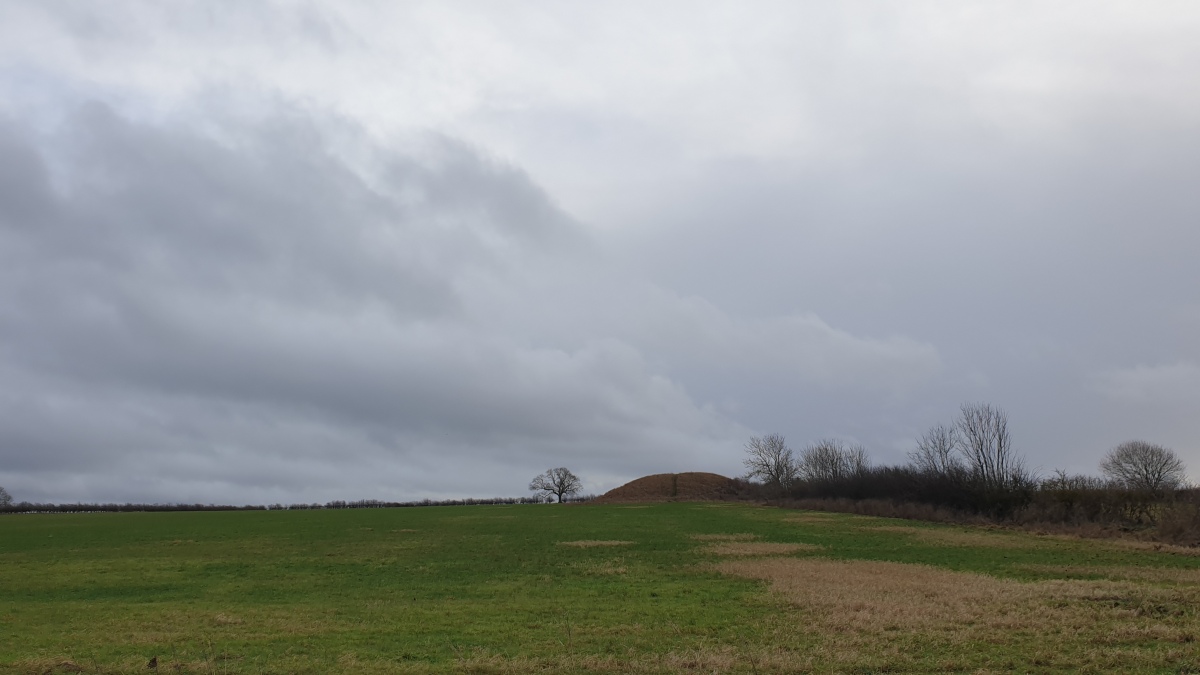
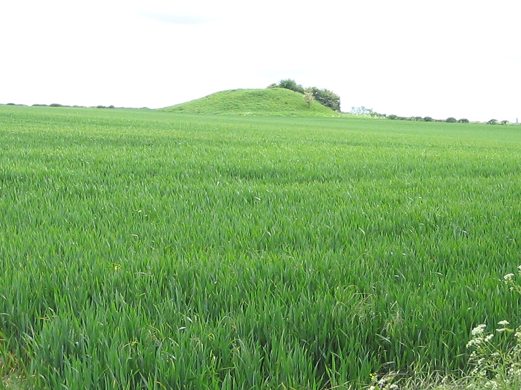
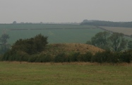
This Neolithic round barrow is one of the largest in Britain, 36m across by 6m high. When excavated in 1890 it was found to consist of a chalk mound covered by a layer of clay and an outer chalk capping. As with other structures constructed from chalk, such as Silbury Hill and Avebury henge, it must have contrasted strongly with the surrounding landscape when new, and have been visible from great distances.
It contained a deep grave pit with 10 adult and child skeletons. Associated with these burials were bone pins, a flint knife, a flint axe, an antler mace head and a Grimston-ware bowl.
Above the burials were the remains of 53 cremations, though more are likely to be revealed if further excavation was attempted.
Duggleby Howe stands at the centre of a circular enclosure identified from crop marks. The enclosure has a diameter of 370 meters, and consists of a wide inner ditch crossed by causeways and a narrow outer ditch. It is similar in size and date to the larger Wessex henges. Presumably it may have been used in the same way as the henges, whatever that may have been !
You may be viewing yesterday's version of this page. To see the most up to date information please register for a free account.


Do not use the above information on other web sites or publications without permission of the contributor.
Click here to see more info for this site
Nearby sites
Key: Red: member's photo, Blue: 3rd party photo, Yellow: other image, Green: no photo - please go there and take one, Grey: site destroyed
Download sites to:
KML (Google Earth)
GPX (GPS waypoints)
CSV (Garmin/Navman)
CSV (Excel)
To unlock full downloads you need to sign up as a Contributory Member. Otherwise downloads are limited to 50 sites.
Turn off the page maps and other distractions
Nearby sites listing. In the following links * = Image available
141m W 279° Duggleby Cursus Cursus (SE879669)
1.2km E 85° Duggleby Cursus Cursus (SE892670)
3.1km S 182° High Street Barrow (Towthorpe) Cairn (SE88006373)
3.7km SSW 197° Fairy Stones* Natural Stone / Erratic / Other Natural Feature (SE8700363317)
4.0km S 183° Towthorpe Plantation Barrow Cemetery Barrow Cemetery (SE879629)
5.4km SW 234° Wharram Percy Barrows Barrow Cemetery (SE837636)
6.0km SSE 168° Fimber Cursus Cursus (SE894610)
6.4km SSE 157° Fimber Cursus* Cursus (SE907610)
7.2km NNE 28° West Heslerton Wold Dyke Misc. Earthwork (SE913733)
7.5km E 99° Willie Howe (Cowlam) Round Barrow(s) (SE95516586)
7.6km N 9° Knapton Wold Dyke Misc. Earthwork (SE8908274415)
8.0km WSW 244° Aldro Rath* Barrow Cemetery (SE80856325)
8.1km E 95° Kemp Howe (Yorkshire) Long Barrow (SE96166628)
8.2km NNE 13° Staple Howe Ancient Village or Settlement (SE898749)
8.3km E 84° Helperthorpe Long Barrow Long Barrow (SE963679)
9.3km SW 230° Hanging Grimstone Barrow Cemetery (SE810608)
9.3km WSW 237° Acklam Wold Cemetery* Barrow Cemetery (SE8027061693)
9.4km S 179° Fridaythorpe Earthworks* Misc. Earthwork (SE88425753)
9.6km W 269° Hedon Howe Long Barrow (SE7843166510)
9.9km W 279° Whitegrounds Barrow Cairn (SE78256824)
10.1km NE 36° Heslerton long barrow Long Barrow (SE93827523)
10.2km SW 222° Kirby Underdale Cursus Cursus (SE81355922)
11.5km SSW 212° Callis Wold Barrow Cemetery* Barrow Cemetery (SE8217857003)
13.2km NE 38° St Hilda's Church (Sherburn)* Sculptured Stone (SE9593777433)
13.4km SE 134° Garton Slack 80 Round Barrow(s) (SE97815773)
View more nearby sites and additional images


 We would like to know more about this location. Please feel free to add a brief description and any relevant information in your own language.
 Wir möchten mehr über diese Stätte erfahren. Bitte zögern Sie nicht, eine kurze Beschreibung und relevante Informationen in Deutsch hinzuzufügen.
 Nous aimerions en savoir encore un peu sur les lieux. S'il vous plaît n'hesitez pas à ajouter une courte description et tous les renseignements pertinents dans votre propre langue.
 Quisieramos informarnos un poco más de las lugares. No dude en añadir una breve descripción y otros datos relevantes en su propio idioma.