<< Our Photo Pages >> Foster Howes - Round Barrow(s) in England in Yorkshire (North)
Submitted by johndhunter on Friday, 24 June 2022 Page Views: 633
Neolithic and Bronze AgeSite Name: Foster HowesCountry: England
NOTE: This site is 0.2 km away from the location you searched for.
County: Yorkshire (North) Type: Round Barrow(s)
Nearest Town: Whitby Nearest Village: Goathland
Map Ref: NZ8744800991
Latitude: 54.396889N Longitude: 0.654587W
Condition:
| 5 | Perfect |
| 4 | Almost Perfect |
| 3 | Reasonable but with some damage |
| 2 | Ruined but still recognisable as an ancient site |
| 1 | Pretty much destroyed, possibly visible as crop marks |
| 0 | No data. |
| -1 | Completely destroyed |
| 5 | Superb |
| 4 | Good |
| 3 | Ordinary |
| 2 | Not Good |
| 1 | Awful |
| 0 | No data. |
| 5 | Can be driven to, probably with disabled access |
| 4 | Short walk on a footpath |
| 3 | Requiring a bit more of a walk |
| 2 | A long walk |
| 1 | In the middle of nowhere, a nightmare to find |
| 0 | No data. |
| 5 | co-ordinates taken by GPS or official recorded co-ordinates |
| 4 | co-ordinates scaled from a detailed map |
| 3 | co-ordinates scaled from a bad map |
| 2 | co-ordinates of the nearest village |
| 1 | co-ordinates of the nearest town |
| 0 | no data |
Internal Links:
External Links:
I have visited· I would like to visit
PeterJMayhew visited on 25th Aug 2022 - their rating: Amb: 4 Access: 3 Foster Howes is a good-looking group of barrows which can be visited as part of a tour of the many local pre-historic sites in the region.

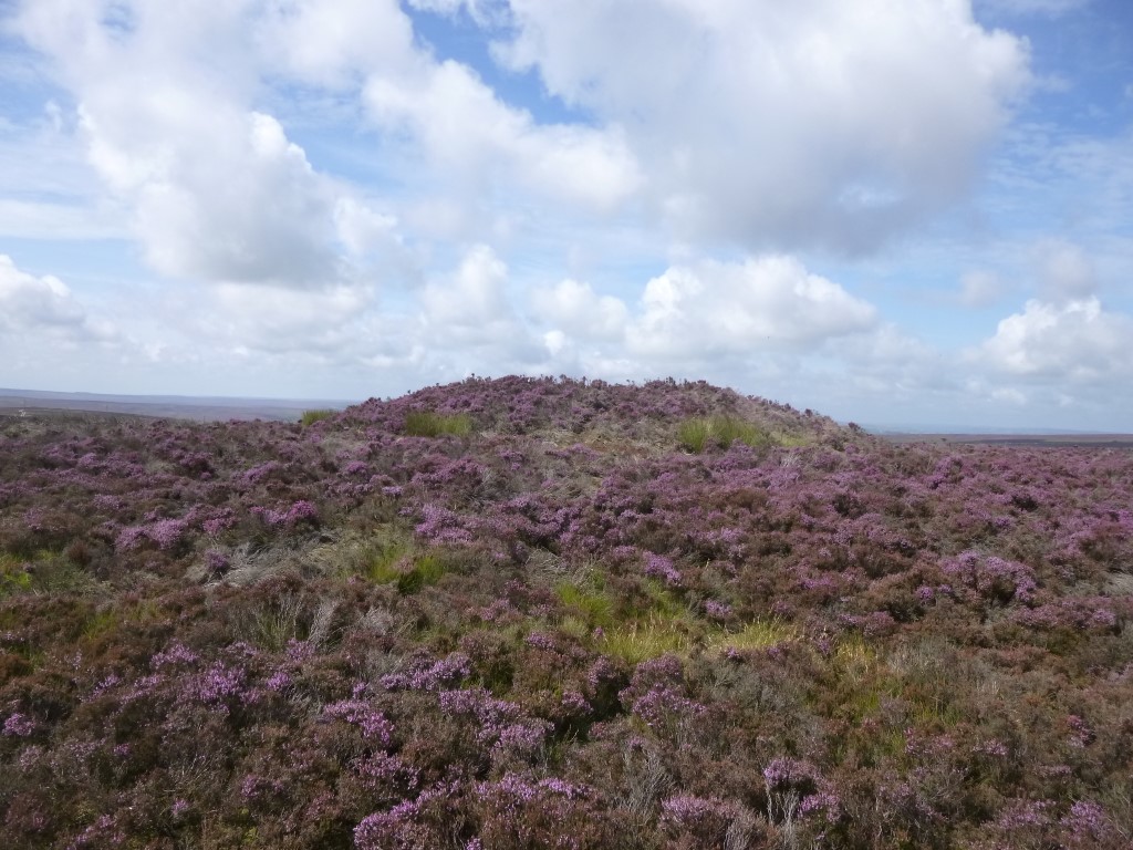
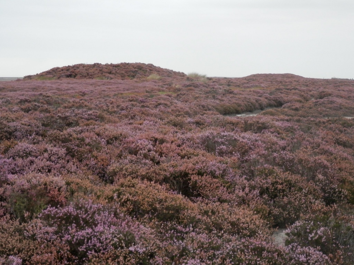
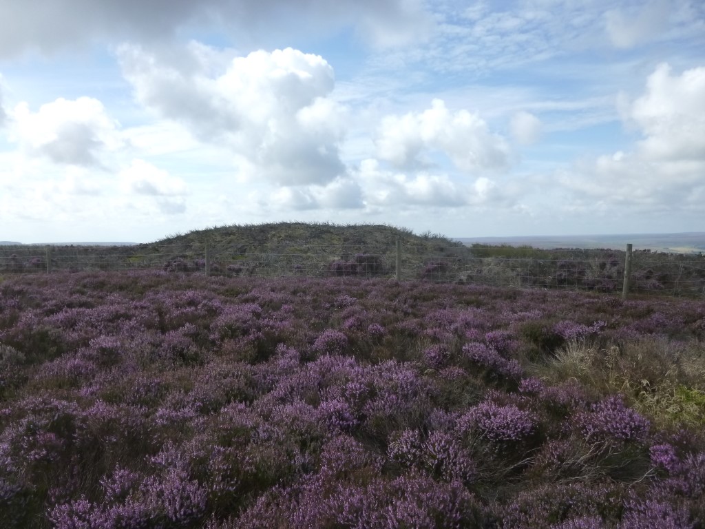
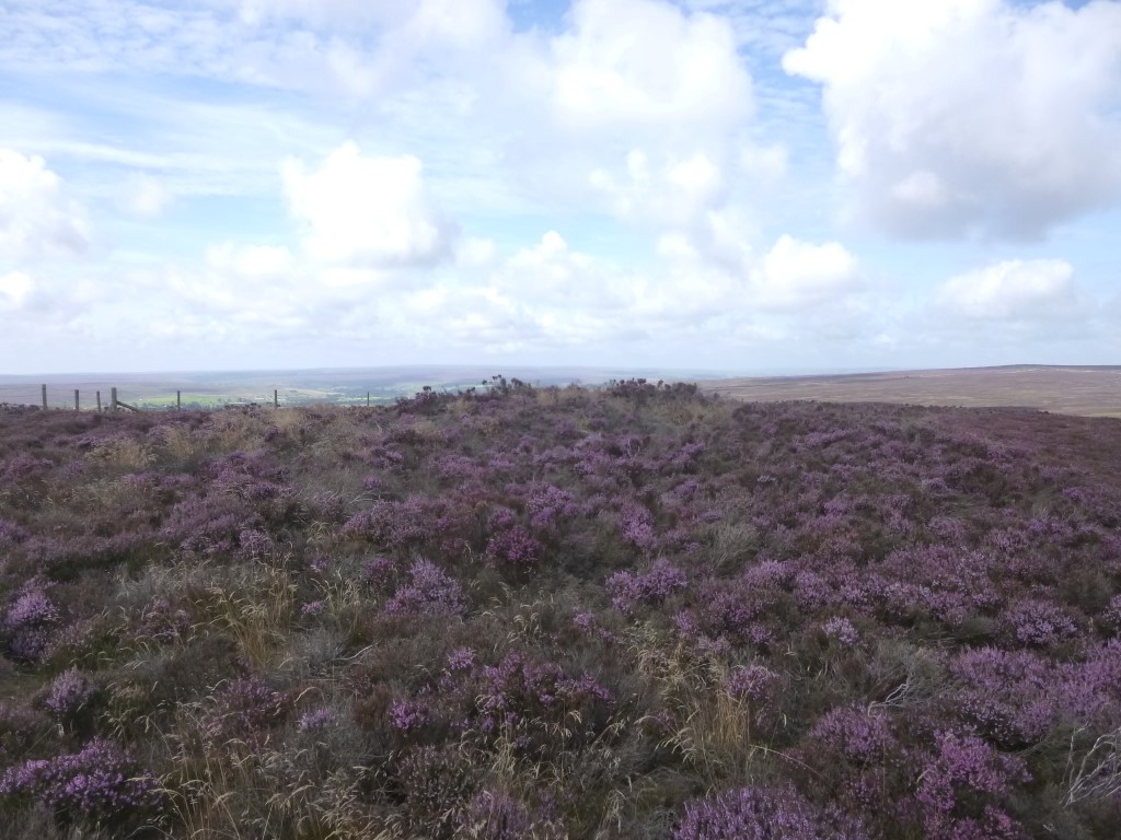
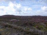
A group of three bronze age bowl barrows in an approximate north south alignment on Sneaton High Moor, all of which have hollows in their centre indicating signs of excavation by antiquarians. Both the central and southern barrows are predominant and stand out clearly from a distance. These barrows appear to be part of a chain that run north westerly to south easterly from FLAT HOWE on Sleights Moor to LOW WOOF HOWE on Allerston High Moor.
Northern barrow at NZ 87437 01020 is the smallest of the barrows and is not marked on the present day OS map, whilst the central and southern barrows are. The barrow is Historic England LIST ENTRY 1009853 which tells us that it is made of earth and stones, 12 m in diameter and stands 0.75m high
Central barrow at NZ 87448 00991 – This is Historic England LIST ENTRY 1009854 which tells us that it is 20m in diameter and 1.75m high, also that there is a recumbent boundary stone within the central hollow on top of the mound.
Southern barrow at NZ 87468 00899 - This is Historic England LIST ENTRY 1009855 which tells us that it is 20m in diameter and 2m high. Also there is a boundary stone inserted within the hollow.
‘HERR’ also has information on Foster Howes at MONUMENT 29322
Note: Both the central and southern barrows are prominent land marks and at one time various important trods and tracks (moor roads) radiated from this locality. Sewell* calls it a hilltop ‘Clapham Junction’. They also at one time marked the separation between the Abbey (Whitby) lands to the north and east and the King’s land to the south and west. Sewell also tells us that Foster Howes appear to have been named after two prominent officials belonging to the King’s forest, who are spoken of as the ‘The Park Foster’ and the ‘Green Foster’. These two officials worked immediately under the Forester – at – Fee who in mediaeval times was an officer directly appointed by the King, to look after his land and the animals within.
*Sewell J.T. 1923 – Mediaeval Roads, page 16.
You may be viewing yesterday's version of this page. To see the most up to date information please register for a free account.
Do not use the above information on other web sites or publications without permission of the contributor.
Click here to see more info for this site
Nearby sites
Key: Red: member's photo, Blue: 3rd party photo, Yellow: other image, Green: no photo - please go there and take one, Grey: site destroyed
Download sites to:
KML (Google Earth)
GPX (GPS waypoints)
CSV (Garmin/Navman)
CSV (Excel)
To unlock full downloads you need to sign up as a Contributory Member. Otherwise downloads are limited to 50 sites.
Turn off the page maps and other distractions
Nearby sites listing. In the following links * = Image available
672m NE 39° York Cross (Sneaton High Moor)* Ancient Cross (NZ8785901524)
884m SSE 160° Ann's Cross* Ancient Cross (NZ8777400168)
1.1km NNW 329° Robbed Howe* Round Barrow(s) (NZ8685001958)
2.0km NW 315° Flass Brow Round Barrow* Round Barrow(s) (NZ860024)
2.1km NW 325° Flass Brow Marker Stones* Marker Stone (NZ8620802708)
2.2km SSE 147° Louven Howe* Round Barrow(s) (SE8866699192)
2.6km NNW 349° Greenland's Howe (Sleights Moor)* Cist (NZ8688103552)
2.7km SSE 149° Lilla Cross* Ancient Cross (SE8892398687)
2.8km ENE 67° Old Wife's Neck* Standing Stones (NZ90060214)
2.9km NW 310° Sil Howe* Round Barrow(s) (NZ8519002830)
3.1km ENE 57° John Cross (Shooting House Rigg)* Ancient Cross (NZ9000802704)
3.2km NW 321° Breckon Howe (Sleights Moor)* Round Barrow(s) (NZ8537603406)
3.2km S 183° Lilla Rigg (Fylingdales)* Marker Stone (SE8735197763)
3.3km NNW 328° Pen Howe (Sleights Moor)* Round Barrow(s) (NZ8563903722)
3.5km NE 52° Shooting House Rigg BS1* Marker Stone (NZ9016503210)
4.1km NNW 333° Flat Howe (Sleights Moor)* Round Barrow(s) (NZ85510461)
4.3km NW 306° Stony Rigg RB1 (Goathland Moor)* Round Barrow(s) (NZ8395703441)
4.4km NNW 327° High Bridestones (Yorks)* Stone Circle (NZ8499704629)
4.6km SSE 157° High Woof Howe* Round Barrow(s) (SE8928096820)
4.6km SSE 156° Round Barrow 145m East of Woof Howe* Round Barrow(s) (SE8942396803)
4.6km SSE 155° Round Barrow 200m East of Woof Howe* Round Barrow(s) (SE8947496806)
4.6km WNW 295° Allan Tofts 9* Rock Art (NZ8316902842)
4.7km NW 323° Low Bridestones (S) (Yorks)* Stone Row / Alignment (NZ84530472)
4.8km WNW 292° Allan Tofts 7* Rock Art (NZ8294502747)
4.8km NW 324° Low Bridestones (N) (Yorks)* Standing Stones (NZ84540486)
View more nearby sites and additional images


 We would like to know more about this location. Please feel free to add a brief description and any relevant information in your own language.
 Wir möchten mehr über diese Stätte erfahren. Bitte zögern Sie nicht, eine kurze Beschreibung und relevante Informationen in Deutsch hinzuzufügen.
 Nous aimerions en savoir encore un peu sur les lieux. S'il vous plaît n'hesitez pas à ajouter une courte description et tous les renseignements pertinents dans votre propre langue.
 Quisieramos informarnos un poco más de las lugares. No dude en añadir una breve descripción y otros datos relevantes en su propio idioma.