<< Our Photo Pages >> Thornborough N - Henge in England in Yorkshire (North)
Submitted by Mark_Williamson on Tuesday, 17 September 2024 Page Views: 17255
Neolithic and Bronze AgeSite Name: Thornborough N Alternative Name: Thornborough North, Camp WoodCountry: England County: Yorkshire (North) Type: Henge
Nearest Town: Masham Nearest Village: West Tanfield
Map Ref: SE28058005 Landranger Map Number: 99
Latitude: 54.215419N Longitude: 1.571366W
Condition:
| 5 | Perfect |
| 4 | Almost Perfect |
| 3 | Reasonable but with some damage |
| 2 | Ruined but still recognisable as an ancient site |
| 1 | Pretty much destroyed, possibly visible as crop marks |
| 0 | No data. |
| -1 | Completely destroyed |
| 5 | Superb |
| 4 | Good |
| 3 | Ordinary |
| 2 | Not Good |
| 1 | Awful |
| 0 | No data. |
| 5 | Can be driven to, probably with disabled access |
| 4 | Short walk on a footpath |
| 3 | Requiring a bit more of a walk |
| 2 | A long walk |
| 1 | In the middle of nowhere, a nightmare to find |
| 0 | No data. |
| 5 | co-ordinates taken by GPS or official recorded co-ordinates |
| 4 | co-ordinates scaled from a detailed map |
| 3 | co-ordinates scaled from a bad map |
| 2 | co-ordinates of the nearest village |
| 1 | co-ordinates of the nearest town |
| 0 | no data |
Internal Links:
External Links:
I have visited· I would like to visit
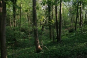
TheCaptain visited on 27th Sep 2022 - their rating: Cond: 5 Amb: 4 Access: 4 Back to the car for the small drive round to the woodland at the western side of the northern henge, and there was room to park, and then follow one of several paths into the woodland. This northern henge is much more like it, very well preserved, both the banks and internal ditch. The atmosphere in this woodland is much more pleasant than the open fields of the other two. Time to look for a pub and a pint.
kthdsn visited on 13th Jun 2016 - their rating: Cond: 4 Amb: 4 Access: 3
drolaf visited on 17th Sep 2015 - their rating: Cond: 3 Amb: 4 Access: 3
Anne T visited on 14th Jul 2014 - their rating: Cond: 3 Amb: 4 Access: 4 After visiting Thorborough Central (and having tried to see where Thornborough South was), we went back to the Northern Henge. Having driven past the first time and failed to find somewhere to park, this time we spotted where other people had parked, complete with a gap in the trees to nip through.
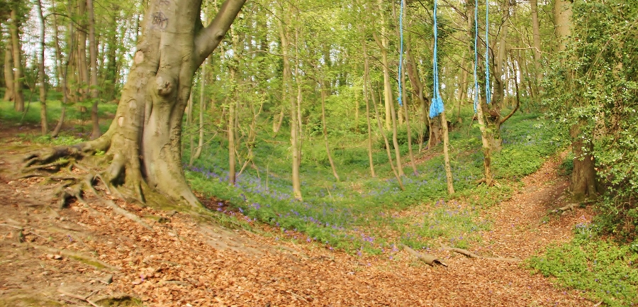
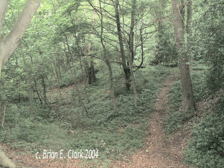
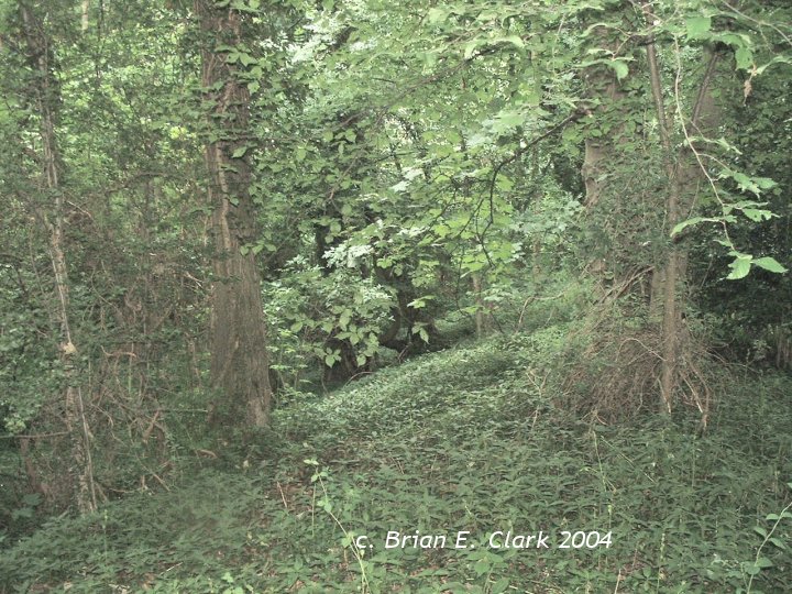
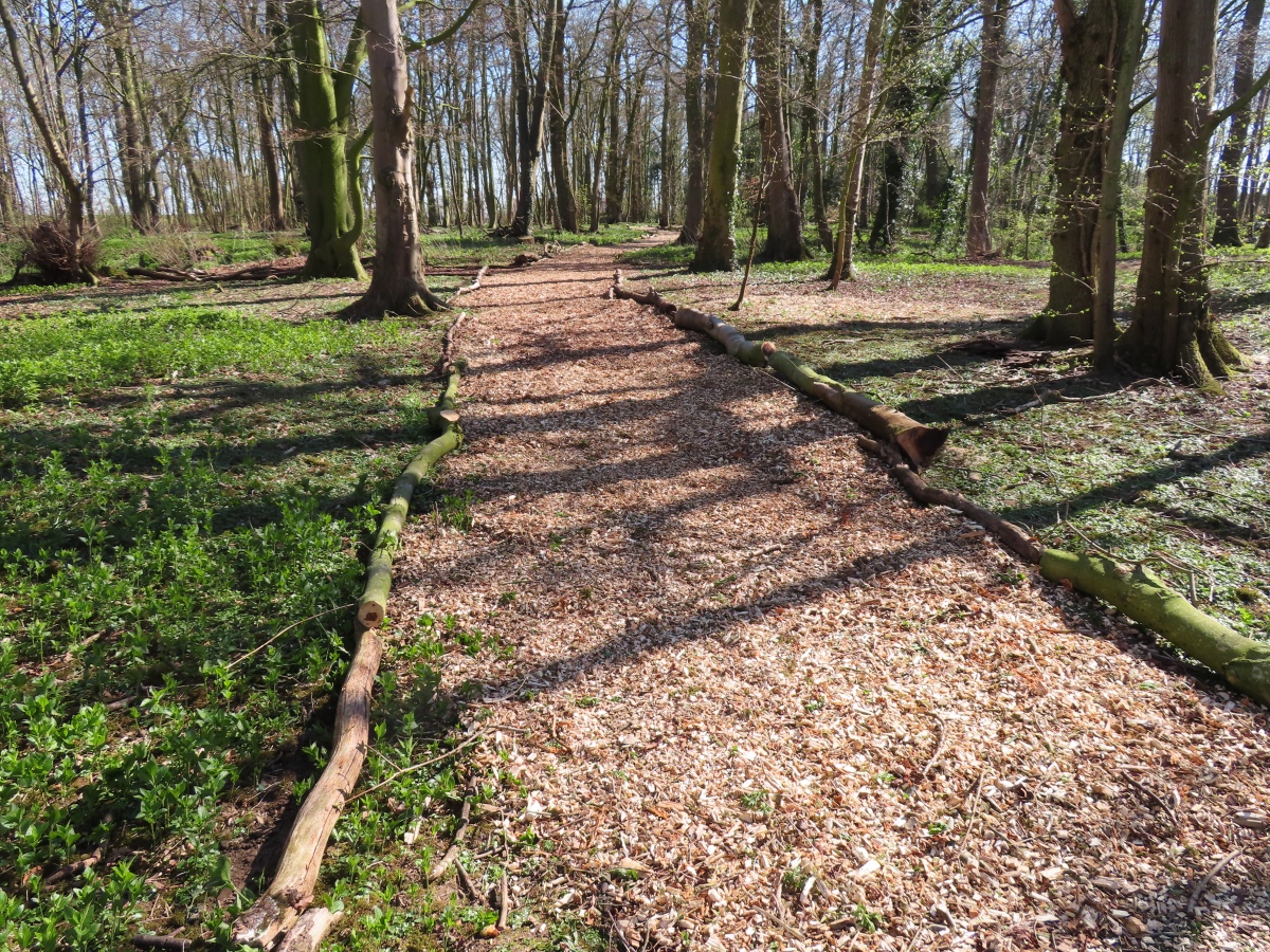
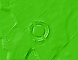
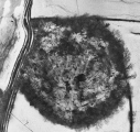
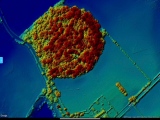
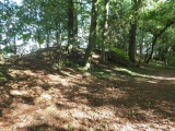
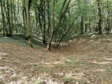
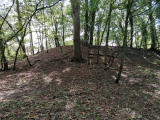
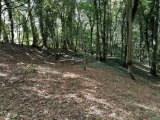
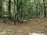
The henge is completely covered in trees, although the outer banks, berm and inner ditch are visible, although not conducive to good photography. There is a footpath which leads all the way round the berm.
We managed to get to the southern entrance of the henge and looked out to central henge. I've submitted a photograph of the view from one henge to another on the 'Thornborough Central' page.
With the sun coming through the trees and no-one else around, this was a very atmospheric spot.
Richard13 visited on 1st Jan 2005 - their rating: Cond: 4 Amb: 3 Access: 4
Average ratings for this site from all visit loggers: Condition: 3.8 Ambience: 3.8 Access: 3.6
There's a good description of the Ure-Swale plateau in Julian Cope's Modern Antiquarian, which I can heartily recommend.
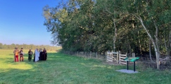
Andy B adds: The northern of Thornborough Henges, the one in woodland, was put up for sale in June 2023, guide price £200,000 and was bought by English Heritage for what we understand is somewhat less than that using some grant money they fundraised. Unlike the two southern henges, the northern henge was privately owned and public access was not permitted but that has now changed and there is an information board and improved paths.
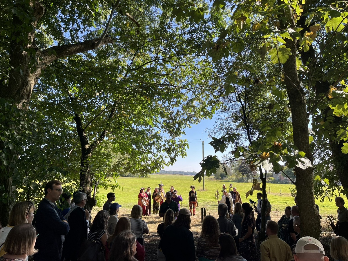
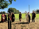
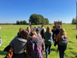
Note: Historic England has now acquired the northern Thornborough henge, managed by English Heritage, who have added an information board and public access for the first time. Today there was an official celebration led by local pagans that I [Andy B] had been hoping to attend - sadly it clashed with something I had to be around for at home. The photo here is by Duncan Wilson from Historic England, more on our three Thornborough pages
You may be viewing yesterday's version of this page. To see the most up to date information please register for a free account.






These are just the first 25 photos of Thornborough N. If you log in with a free user account you will be able to see our entire collection.
Do not use the above information on other web sites or publications without permission of the contributor.
Click here to see more info for this site
Nearby sites
Key: Red: member's photo, Blue: 3rd party photo, Yellow: other image, Green: no photo - please go there and take one, Grey: site destroyed
Download sites to:
KML (Google Earth)
GPX (GPS waypoints)
CSV (Garmin/Navman)
CSV (Excel)
To unlock full downloads you need to sign up as a Contributory Member. Otherwise downloads are limited to 50 sites.
Turn off the page maps and other distractions
Nearby sites listing. In the following links * = Image available
755m SE 143° Thornborough Central* Henge (SE28517945)
959m ESE 118° Thornborough Cursus Cursus (SE289796)
961m S 171° Thornborough Cursus Cursus (SE282791)
1.5km SE 144° Thornborough S* Henge (SE28947884)
1.8km SW 224° St Nicholas (West Tanfield)* Ancient Cross (SE2679978746)
2.3km NNW 329° St Michael's Church (Well)* Ancient Cross (SE2682982053)
2.4km NW 315° St Michael's Well (Well)* Holy Well or Sacred Spring (SE26338175)
3.6km SW 216° Ings Well (Mickley)* Holy Well or Sacred Spring (SE2593377125)
3.8km ENE 69° Lady Well (Kirklington)* Holy Well or Sacred Spring (SE31628142)
4.7km SSE 167° Castle Dikes Hillfort (SE291755)
5.0km SW 231° Dropping Well* Holy Well or Sacred Spring (SE242769)
5.3km ESE 123° St Mary (Wath)* Ancient Cross (SE32517715)
5.4km W 277° St Mary (Masham)* Ancient Cross (SE2266080651)
5.8km E 86° Quernhow (Ainderby Quernhow) Cairn (SE33818045)
6.3km E 82° Sinderby* Henge (SE34288100)
6.6km W 267° Berry Well* Holy Well or Sacred Spring (SE2140479628)
6.7km WSW 242° Lime Tree Modern Stone Circle* Modern Stone Circle etc (SE2212876922)
6.7km WSW 242° Lime Tree Roundhouse* Modern Stone Circle etc (SE2216776849)
6.7km SE 141° Nunwick Henge* Henge (SE3229274837)
6.7km SW 235° Billey Keld* Holy Well or Sacred Spring (SE2251376193)
7.1km NW 318° St Mary (Thornton Watlass)* Ancient Cross (SE2324585265)
7.1km WSW 249° Himalayan Gardens & Sculpture Park* Modern Stone Circle etc (SE2139577417)
7.4km ENE 61° Money Hill (Pickhill)* Artificial Mound (SE3451583693)
7.6km ENE 61° All Saints (Pickhill)* Ancient Cross (SE3471583751)
8.3km W 279° Fearby Cross (Masham) Ancient Cross (SE1984081273)
View more nearby sites and additional images


 We would like to know more about this location. Please feel free to add a brief description and any relevant information in your own language.
 Wir möchten mehr über diese Stätte erfahren. Bitte zögern Sie nicht, eine kurze Beschreibung und relevante Informationen in Deutsch hinzuzufügen.
 Nous aimerions en savoir encore un peu sur les lieux. S'il vous plaît n'hesitez pas à ajouter une courte description et tous les renseignements pertinents dans votre propre langue.
 Quisieramos informarnos un poco más de las lugares. No dude en añadir una breve descripción y otros datos relevantes en su propio idioma.