<< Our Photo Pages >> Brimham Rocks - Rock Outcrop in England in Yorkshire (North)
Submitted by sunny100 on Tuesday, 10 August 2004 Page Views: 17048
Natural PlacesSite Name: Brimham Rocks Alternative Name: Brimham CragsCountry: England County: Yorkshire (North) Type: Rock Outcrop
Map Ref: SE210649
Latitude: 54.079598N Longitude: 1.680521W
Condition:
| 5 | Perfect |
| 4 | Almost Perfect |
| 3 | Reasonable but with some damage |
| 2 | Ruined but still recognisable as an ancient site |
| 1 | Pretty much destroyed, possibly visible as crop marks |
| 0 | No data. |
| -1 | Completely destroyed |
| 5 | Superb |
| 4 | Good |
| 3 | Ordinary |
| 2 | Not Good |
| 1 | Awful |
| 0 | No data. |
| 5 | Can be driven to, probably with disabled access |
| 4 | Short walk on a footpath |
| 3 | Requiring a bit more of a walk |
| 2 | A long walk |
| 1 | In the middle of nowhere, a nightmare to find |
| 0 | No data. |
| 5 | co-ordinates taken by GPS or official recorded co-ordinates |
| 4 | co-ordinates scaled from a detailed map |
| 3 | co-ordinates scaled from a bad map |
| 2 | co-ordinates of the nearest village |
| 1 | co-ordinates of the nearest town |
| 0 | no data |
Be the first person to rate this site - see the 'Contribute!' box in the right hand menu.
Internal Links:
External Links:
I have visited· I would like to visit
SolarMegalith would like to visit
wildtalents visited on 22nd Apr 2023 - their rating: Cond: 5 Amb: 5 Access: 3 Rather a grey damp day, hence the site was a bit slippy. Genuinely fun though, and I enjoyed the coy sign near the top of the site which points out all the landmarks you can see on the horizon BUT NOT the bloody awful RAF Menwith Hill NSA complex which we must all apparently pretend does not exist.
I enjoyed the local crows too, very accustomed to begging scraps from tourists but in a gentlemanly sort of a way.They park theyselves nearby, sneak a look at you every now and then, then politely look away in a "I'm just chillin' mate" kinda way. The second you chcuk them a bit of sausage roll though all decorum is abandoned and the victor speeds off to the nearest outcrop to munch smugly. Will definitely go back.
kthdsn visited on 1st Aug 2012 - their rating: Cond: 5 Amb: 5 Access: 4
SteveC visited on 17th Jul 2005 - their rating: Amb: 4 Access: 4
RedKite1985 visited on 1st Jan 1999 - their rating: Cond: 4 Amb: 4 Access: 4
Bladup mark_a hevveh have visited here
Average ratings for this site from all visit loggers: Condition: 4.67 Ambience: 4.5 Access: 3.75
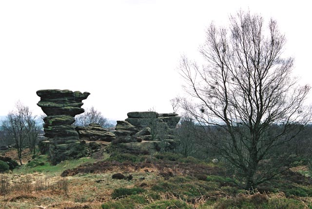
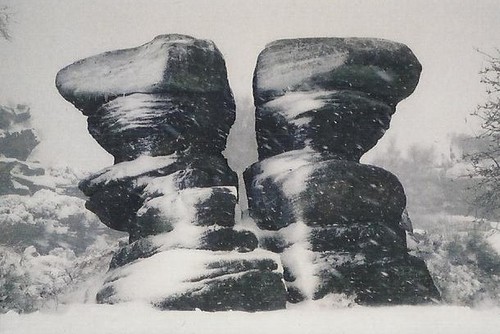
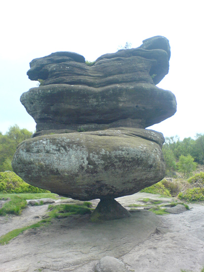
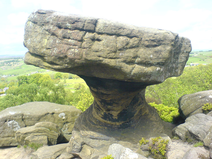
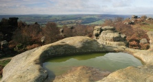
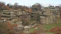
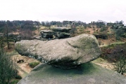
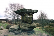
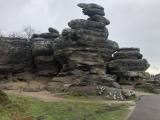
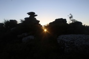
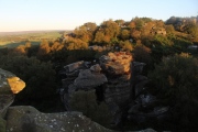
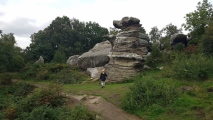
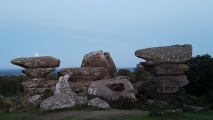
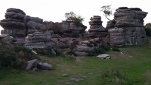
These millstone grit rock formations have been caused by glaciation and weather related erosion over thousands of years. Some of them are enormous. There are cup-marks/rock art on a few of the stones.
Update April 2017: Further information can be found on The Northern Antiquarian - see their page for Brimham Rocks, Hartwith, North Yorkshire, which contains directions to reach this site, photographs, drawings and a brief archaeology and history. Also see the Journal of Antiquities' entry for Brimham Rocks, Summerbridge, North Yorkshire, which includes a description, photographs and a list of sources for more information.
The National Trust has walking guides around these crags. See 'Get walking at Brimham Rocks' to download a numbr of walks in pdf format.
You may be viewing yesterday's version of this page. To see the most up to date information please register for a free account.
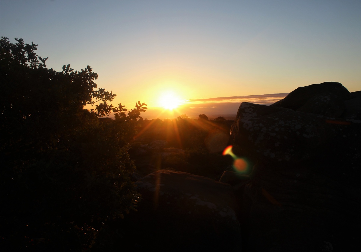




These are just the first 25 photos of Brimham Rocks. If you log in with a free user account you will be able to see our entire collection.
Do not use the above information on other web sites or publications without permission of the contributor.
Click here to see more info for this site
Nearby sites
Key: Red: member's photo, Blue: 3rd party photo, Yellow: other image, Green: no photo - please go there and take one, Grey: site destroyed
Download sites to:
KML (Google Earth)
GPX (GPS waypoints)
CSV (Garmin/Navman)
CSV (Excel)
To unlock full downloads you need to sign up as a Contributory Member. Otherwise downloads are limited to 50 sites.
Turn off the page maps and other distractions
Nearby sites listing. In the following links * = Image available
470m WNW 291° Brimham Rocks Circle Stone Circle (SE20566507)
613m W 259° Brimham Rocks Rock Art Rock Art (SE2039764782)
707m S 172° Graffa Plain (Hartwith) Cairn (SE211642)
2.2km S 174° Hartwith Moor* Standing Stone (Menhir) (SE2123362737)
3.3km NE 41° Wine Wife Well* Holy Well or Sacred Spring (SE23216742)
3.5km SW 222° Bryan's Wood 01 Rock Art (SE1866362280)
3.6km SW 223° Eastwoods Farm 01 (Heyshaw) Rock Art (SE1855662240)
3.6km SW 223° Fertility Stone (CR-638)* Rock Art (SE1855262228)
3.6km SW 222° Eastwoods Farm 02 (Heyshaw) Rock Art (SE1857262168)
3.8km SW 221° Eastwoods Farm Cup (Heyshaw)* Rock Art (SE1852062010)
3.8km SW 221° Eastwoods Cross Base (Summerbridge) Rock Art (SE1850662013)
3.9km SW 218° Morphing Stone (Dacre)* Rock Art (SE1855961795)
4.0km SW 219° Eastwoods Rough 3 (Dacre) Rock Art (SE18506177)
4.0km SW 217° Tadpole Stone (Eastwoods Rough)* Rock Art (SE1860161644)
4.8km WSW 254° Guisecliff Wood (629)* Rock Art (SE1641563565)
4.9km NNW 340° Pateley Moor* Standing Stone (Menhir) (SE193695)
4.9km ESE 121° Cowgate Manor Barn (Shaw Mills) Rock Art (SE2525562397)
5.0km WSW 251° Hayshaw Moor North (Dacre) Cairn (SE1621863253)
5.1km WSW 256° Guisecliff Wood (626)* Rock Art (SE1607863641)
5.9km SSW 212° Dacre Top* Ancient Village or Settlement (SE179599)
6.6km N 355° Cast Hills* Ancient Village or Settlement (SE20377147)
6.8km SE 124° Deb Well* Holy Well or Sacred Spring (SE266611)
7.2km NNW 346° Hell Holme Bank (Dallowgill) Rock Art (SE1917071909)
7.5km ENE 63° Robin Hood's Well ( Yorkshire)* Holy Well or Sacred Spring (SE2767868295)
7.6km ESE 103° Cayton Gill carving* Modern Stone Circle etc (SE284632)
View more nearby sites and additional images


 We would like to know more about this location. Please feel free to add a brief description and any relevant information in your own language.
 Wir möchten mehr über diese Stätte erfahren. Bitte zögern Sie nicht, eine kurze Beschreibung und relevante Informationen in Deutsch hinzuzufügen.
 Nous aimerions en savoir encore un peu sur les lieux. S'il vous plaît n'hesitez pas à ajouter une courte description et tous les renseignements pertinents dans votre propre langue.
 Quisieramos informarnos un poco más de las lugares. No dude en añadir una breve descripción y otros datos relevantes en su propio idioma.