<< Our Photo Pages >> Figsbury Rings - Hillfort in England in Wiltshire
Submitted by Bladup on Sunday, 14 April 2024 Page Views: 16295
Iron Age and Later PrehistorySite Name: Figsbury Rings Alternative Name: Chlorus' CampCountry: England County: Wiltshire Type: Hillfort
Nearest Town: Salisbury
Map Ref: SU18833382 Landranger Map Number: 184
Latitude: 51.103375N Longitude: 1.732438W
Condition:
| 5 | Perfect |
| 4 | Almost Perfect |
| 3 | Reasonable but with some damage |
| 2 | Ruined but still recognisable as an ancient site |
| 1 | Pretty much destroyed, possibly visible as crop marks |
| 0 | No data. |
| -1 | Completely destroyed |
| 5 | Superb |
| 4 | Good |
| 3 | Ordinary |
| 2 | Not Good |
| 1 | Awful |
| 0 | No data. |
| 5 | Can be driven to, probably with disabled access |
| 4 | Short walk on a footpath |
| 3 | Requiring a bit more of a walk |
| 2 | A long walk |
| 1 | In the middle of nowhere, a nightmare to find |
| 0 | No data. |
| 5 | co-ordinates taken by GPS or official recorded co-ordinates |
| 4 | co-ordinates scaled from a detailed map |
| 3 | co-ordinates scaled from a bad map |
| 2 | co-ordinates of the nearest village |
| 1 | co-ordinates of the nearest town |
| 0 | no data |
Internal Links:
External Links:
I have visited· I would like to visit
rvbaker2003 visited on 3rd May 2025 - their rating: Cond: 4 Amb: 3 Access: 4
FrothNinja visited on 1st Oct 2016 - their rating: Cond: 2 Amb: 4 Access: 4
graemefield visited on 6th Aug 2012 - their rating: Cond: 4 Amb: 4 Access: 5
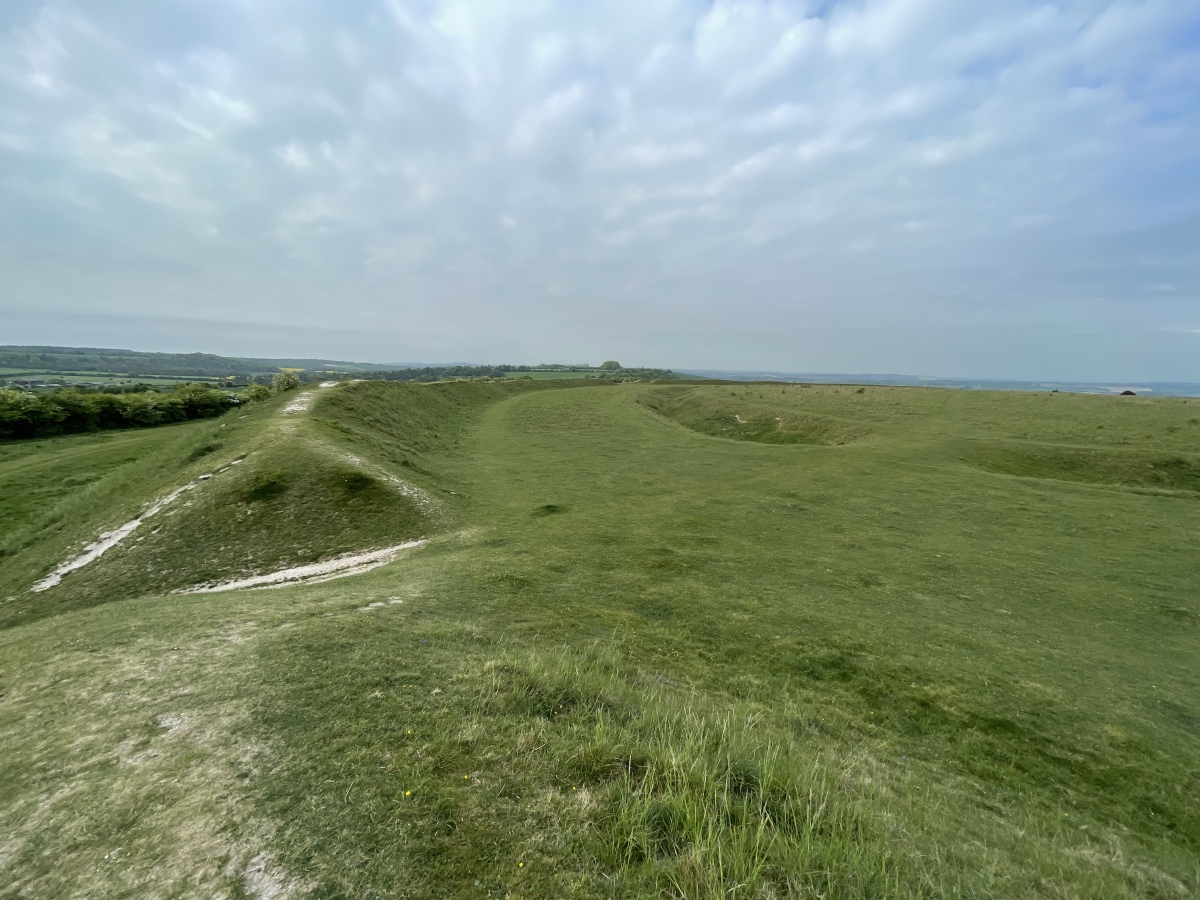
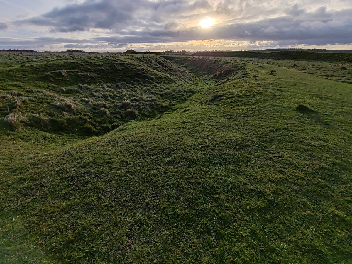
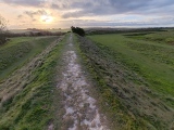
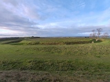
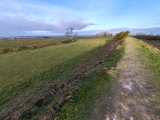
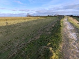
wildtalents visited on 1st Jul 1999 - their rating: Cond: 3 Amb: 4 Access: 5 You can drive, slowly, up to a car park very near the rings. It's a popular dog-walker site so if you meet someone on the way to or from the site it can get a bit fraught. The outer ring has henge-like banks though quite some distance from the ditches if I recall correctly. There's a wide flat causeway and then another ring roughly concentric with the outer one. A double causeway leads to a central platform. Almost like an amphitheatre in some ways. There are great views of the Salisbury district.
coin visited - their rating: Cond: 4 Amb: 4 Access: 4
attlebax AngieLake JimChampion have visited here
Average ratings for this site from all visit loggers: Condition: 3.4 Ambience: 3.8 Access: 4.4

Access Well-signposted from the A30, to the east of Salisbury. Drive up the narrow bumpy track to a generous car park. The track is unsuitable for coaches, and long vehicles might have trouble with the sharp right-turn into the car park at the top of the track.
Text by Thorgrim.
You may be viewing yesterday's version of this page. To see the most up to date information please register for a free account.








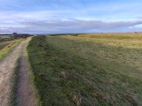



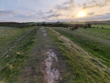
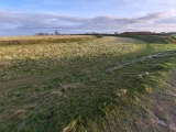
These are just the first 25 photos of Figsbury Rings. If you log in with a free user account you will be able to see our entire collection.
Do not use the above information on other web sites or publications without permission of the contributor.
Click here to see more info for this site
Nearby sites
Key: Red: member's photo, Blue: 3rd party photo, Yellow: other image, Green: no photo - please go there and take one, Grey: site destroyed
Download sites to:
KML (Google Earth)
GPX (GPS waypoints)
CSV (Garmin/Navman)
CSV (Excel)
To unlock full downloads you need to sign up as a Contributory Member. Otherwise downloads are limited to 50 sites.
Turn off the page maps and other distractions
Nearby sites listing. In the following links * = Image available
1.4km SSE 166° Fussell's Lodge* Long Barrow (SU19183247)
1.5km E 91° Thorny Down Enclosure Ancient Village or Settlement (SU203338)
1.5km N 352° Horse Barrow Round Barrow(s) (SU18623533)
1.9km ENE 59° Battery Hill Long Barrow Long Barrow (SU20493481)
2.0km ENE 60° Battery Hill Bowl Barrow Round Barrow(s) (SU20573485)
3.0km W 275° Hand Barrows* Barrow Cemetery (SU1588034050)
3.4km S 177° Grim's Ditch 2 (Wiltshire) Misc. Earthwork (SU19023039)
3.4km NW 322° Downbarn West Enclosure* Ancient Village or Settlement (SU16713654)
3.6km SSE 148° Clarendon Park Bowl Barrows Barrow Cemetery (SU20733079)
5.2km WSW 257° Old Sarum* Hillfort (SU13783266)
5.9km W 266° North Hill Down* Barrow Cemetery (SU12953343)
6.4km NW 315° Ogbury Camp* Hillfort (SU143383)
6.5km SW 227° Salisbury and South Wiltshire Museum* Museum (SU141294)
6.5km WNW 303° Little Down Barrow Group* Barrow Cemetery (SU13333738)
6.9km SW 215° Rowbarrow Salisbury* Misc. Earthwork (SU14902820)
6.9km NW 325° Amesbury Down Triple Bell Barrow Round Barrow(s) (SU14833944)
7.4km NW 311° Wilsford Cum Lake Bowl Barrow* Round Barrow(s) (SU13213866)
7.7km NE 53° Martin's Clump Long Barrow Long Barrow (SU25053845)
7.8km NW 325° Amesbury Down Bowl Barrows Barrow Cemetery (SU14314020)
8.1km NE 52° Martin's Clump Flint Mine Ancient Mine, Quarry or other Industry (SU252388)
8.1km NE 51° Martin's Clump Bowl Barrow Round Barrow(s) (SU25133896)
8.2km N 356° Earls Farm Down Barrows* Barrow Cemetery (SU1822441951)
8.3km WNW 290° Woodford Round Barrow(s) (SU10983670)
8.4km NNW 335° Amesbury History Centre* Museum (SU1526841462)
8.6km N 355° Bulford Crossroads Barrows* Round Barrow(s) (SU1800542396)
View more nearby sites and additional images


 We would like to know more about this location. Please feel free to add a brief description and any relevant information in your own language.
 Wir möchten mehr über diese Stätte erfahren. Bitte zögern Sie nicht, eine kurze Beschreibung und relevante Informationen in Deutsch hinzuzufügen.
 Nous aimerions en savoir encore un peu sur les lieux. S'il vous plaît n'hesitez pas à ajouter une courte description et tous les renseignements pertinents dans votre propre langue.
 Quisieramos informarnos un poco más de las lugares. No dude en añadir una breve descripción y otros datos relevantes en su propio idioma.