<< Our Photo Pages >> Bamburgh Castle - Sculptured Stone in England in Northumberland
Submitted by Anne T on Wednesday, 10 October 2018 Page Views: 3038
Multi-periodSite Name: Bamburgh CastleCountry: England County: Northumberland Type: Sculptured Stone
Nearest Town: Berwick upon Tweed / Alnwick Nearest Village: Bamburgh
Map Ref: NU1837335053
Latitude: 55.608739N Longitude: 1.709917W
Condition:
| 5 | Perfect |
| 4 | Almost Perfect |
| 3 | Reasonable but with some damage |
| 2 | Ruined but still recognisable as an ancient site |
| 1 | Pretty much destroyed, possibly visible as crop marks |
| 0 | No data. |
| -1 | Completely destroyed |
| 5 | Superb |
| 4 | Good |
| 3 | Ordinary |
| 2 | Not Good |
| 1 | Awful |
| 0 | No data. |
| 5 | Can be driven to, probably with disabled access |
| 4 | Short walk on a footpath |
| 3 | Requiring a bit more of a walk |
| 2 | A long walk |
| 1 | In the middle of nowhere, a nightmare to find |
| 0 | No data. |
| 5 | co-ordinates taken by GPS or official recorded co-ordinates |
| 4 | co-ordinates scaled from a detailed map |
| 3 | co-ordinates scaled from a bad map |
| 2 | co-ordinates of the nearest village |
| 1 | co-ordinates of the nearest town |
| 0 | no data |
Internal Links:
External Links:
I have visited· I would like to visit
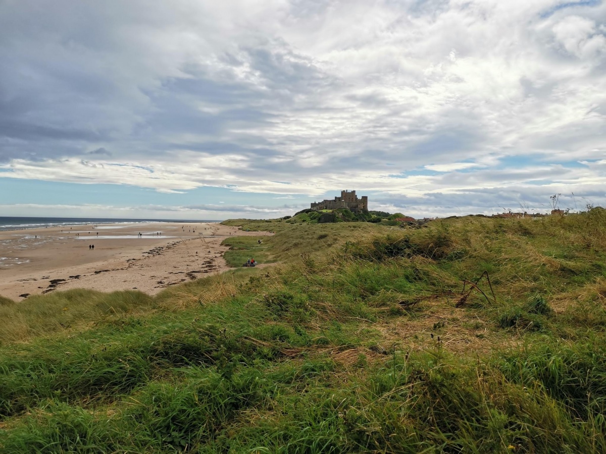
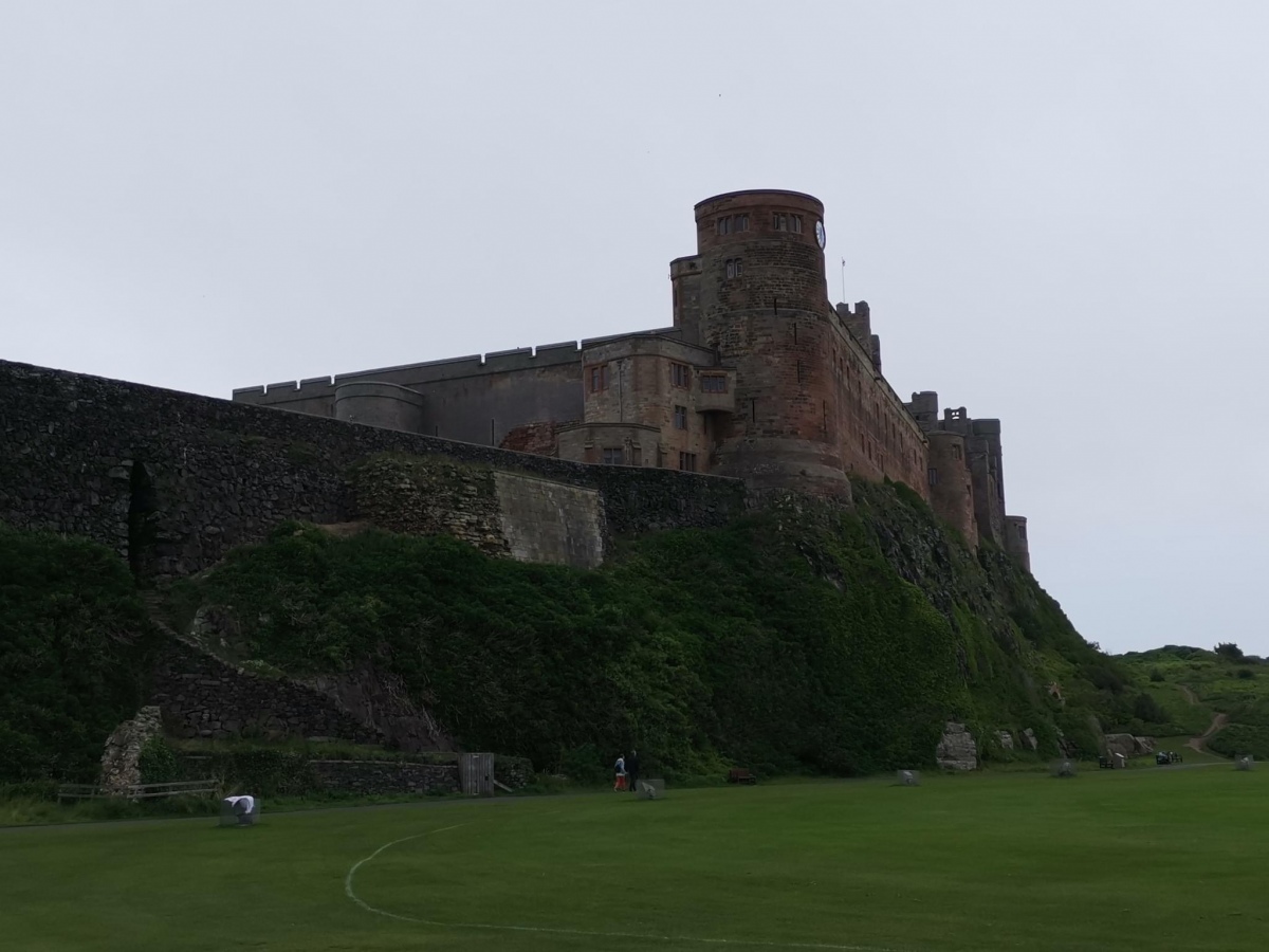
Anne T visited on 9th Oct 2018 - their rating: Cond: 3 Amb: 4 Access: 3 Wells and Anglo Saxon Stones at Bamburgh Castle: Note: there is disabled parking next to the State Rooms, but there are many stairs in and around the castle. It’s been a long time since we last came here, and the visit today happened because I’d been sent a 1947 Antiquarian paper about the holy wells of Northumberland. There was also one piece of AS stone in the archaeological museum; listed on the Corpus, which we had still to see.
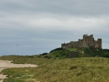
It was sunny but windy, high up above the sea. It was expensive to get in, but actually was worth the money, as we spent hours here, both wandering around inside and outside.
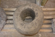
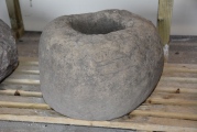
We found another stone with Celtic Heads in the small Stones Museum, along with a 9th century mortar stone which had been reused to hold a post.
The carved Anglo Saxon stone was in the new Archaeological Museum and Activity area, and there is a recreation of the chair/throne the chair may have looked like outside the keep. This was a favourite for photographs for visitors, so we looked at when it got quieter at the end of the castle opening hours.
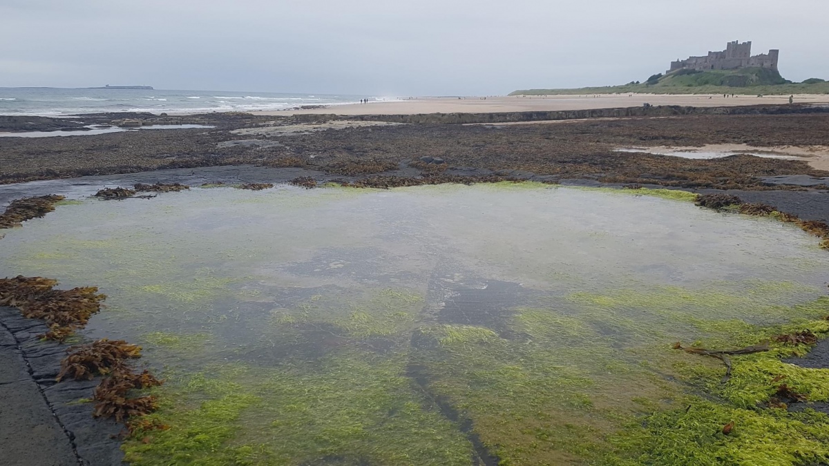
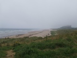
Before our visit, I had contacted the castle to try and ascertain the location of three wells inside the castle. There is one well in bottom of keep; the other on the outside wall of the castle at its north western end (no longer visible, but the site can be seen, although covered in sand). The third well we thought we’d found, as we walked up the old Victorian footpath to the castle from the beach, but we were mistaken as we’d had the 1860 OS map orientated wrongly!
Once we’d been round the castle near the ticket office (found when walking back to the car park from the old Victorian footpath from the beach to the castle).
RedKite1985 saw from a distance on 16th Sep 2018 - their rating: Cond: 4 Amb: 5 Access: 4
morgainelefay visited - their rating: Cond: 5 Amb: 4 Access: 5
Average ratings for this site from all visit loggers: Condition: 4 Ambience: 4.33 Access: 4
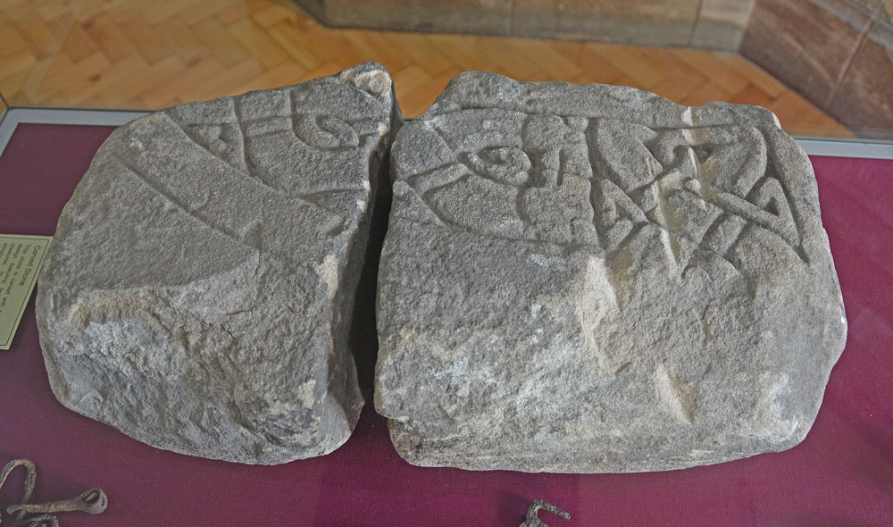
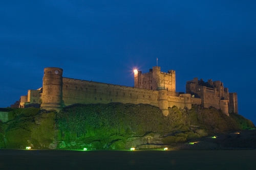
Bamburgh Castle is recorded as Historic England List ID 1280155 and Pastscape Monument No. 7536.
Inside the castle are a number of interesting, historical features, including a stone with two Celtic sculptured heads; part of a carved Anglo Saxon chair arm, the site of a possible Saxon crypt; a well dug in Anglo Saxon times; possibly two other wells and a display of Anglo Saxon artefacts found in the grounds of the castle.
The carved chair arm has been dated to the last quarter of the eighth/first quarter of the ninth century, and is displayed in the new Archaeological Museum and Activities room near the exit of the State Rooms.
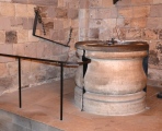
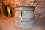
The well dug in Anglo Saxon times can be found at the bottom of the keep. Now with a Victorian well head, notes kindly provided by the Collections and Conservation Manager say: "The well in the Castle was created in the 600’s and described by Simeon of Durham in 774 “Bebba is a most strongly fortified city, not very large, being the size of 2 0r 3 fields, having one entrance hollowed out of rock and raised in steps after a marvellous fashion. On the top of the hill is a church of extremely beautiful workmanship…to the west on the highest point of the city is a spring of water, sweet to the taste and most pure…that has been excavated with astonishing labour”. The well is 44 metres deep and 2 metres in diameter. We don’t know how the well was built but our archaeology team have thought it may have been made with fires on top of the dolorite, heating to a great temperature and then pouring cold water onto it causing the rock to split. Sandstone is underneath the dolorite layer. The sides of the well are smooth and about a quarter of the way down there is an arched tunnel approximately 5 feet in height which is reached by iron rungs set into the stone work. Running at a South Westerly angle it travels to shrubbery outside the castle near the existing pump house and must have been made as an emergency exit. The exit is now blocked. During this time there were at least two other wells within the Castle walls. Medieval records show that a corner tower near St Oswald’s Gate was called The Tower of Elmund’s Well. We don’t know who Elmund was. Walls were built in this area, possibly to defend the well. There was also Waltheof’s well near the site of the present Clock Tower."
An information board in the Archaeological Museum says that the western end of the ruined chapel is thought to contain an Anglo Saxon crypt, similar to the one at Hexham Abbey, but is awaiting excavation.
Please note that whilst there is disabled parking next to the State Rooms, there are many sets of stairs in and around the castle, so there is limited access for those who are less mobile.
You may be viewing yesterday's version of this page. To see the most up to date information please register for a free account.






Do not use the above information on other web sites or publications without permission of the contributor.
Click here to see more info for this site
Nearby sites
Key: Red: member's photo, Blue: 3rd party photo, Yellow: other image, Green: no photo - please go there and take one, Grey: site destroyed
Download sites to:
KML (Google Earth)
GPX (GPS waypoints)
CSV (Garmin/Navman)
CSV (Excel)
To unlock full downloads you need to sign up as a Contributory Member. Otherwise downloads are limited to 50 sites.
Turn off the page maps and other distractions
Nearby sites listing. In the following links * = Image available
367m WSW 248° St Aidan's Well (Bamburgh)* Holy Well or Sacred Spring (NU1803234914)
442m SW 227° Leper's Well (Bamburgh)* Holy Well or Sacred Spring (NU18053475)
486m SSE 148° Bamburgh Barrow 2* Round Barrow(s) (NU18633464)
536m W 261° St Aidan's Church (Bamburgh)* Early Christian Sculptured Stone (NU1784334964)
568m S 176° Bamburgh Barrow 1* Round Barrow(s) (NU1841634486)
3.4km WSW 250° Spindlestone Hill Fort* Hillfort (NU152339)
3.5km ENE 75° St. Cuthbert's Well (Farne Islands)* Holy Well or Sacred Spring (NU21783599)
4.3km SE 143° North Sunderland (Seahouses) Rock Art (NU2100031600)
4.4km SE 134° North Sunderland Cists* Cist (NU21603202)
5.6km SSW 213° St Hilda's Church (Lucker)* Ancient Cross (NU15303033)
5.7km SSW 204° Bradford Kaims Ancient Mine, Quarry or other Industry (NU16022980)
6.9km SE 138° Beadnell Caravan Park Rock Art (NU2300029900)
7.3km W 265° Belshill Quarry 1 & 2 Rock Art (NU1110034400)
8.1km SE 139° Benthall Round Cairn* Cairn (NU2371528908)
8.2km SSE 157° Long Nanny* Standing Stone (Menhir) (NU21632748)
8.4km SE 139° St Ebba's Chapel* Ancient Cross (NU2396428707)
8.8km NW 319° Lindisfarne Priory* Museum (NU12614172)
9.0km NW 322° Holy Island a & b Rock Art (NU1276042050)
9.0km SW 214° Isabella's Mount Camp Hillfort (NU13372757)
9.0km SSE 161° Tughall Chapel* Ancient Cross (NU2132026540)
9.4km S 189° Ellingham a & d Rock Art (NU1691025790)
9.4km S 189° Ellingham b & c Rock Art (NU1686025750)
9.6km S 186° St Maurice's Well (Ellingham)* Holy Well or Sacred Spring (NU17452553)
10.1km W 262° Early Knowe Stone Circle (NU083336)
10.4km SW 215° Lucker Moor 4 Rock Art (NU1245126497)
View more nearby sites and additional images


 We would like to know more about this location. Please feel free to add a brief description and any relevant information in your own language.
 Wir möchten mehr über diese Stätte erfahren. Bitte zögern Sie nicht, eine kurze Beschreibung und relevante Informationen in Deutsch hinzuzufügen.
 Nous aimerions en savoir encore un peu sur les lieux. S'il vous plaît n'hesitez pas à ajouter une courte description et tous les renseignements pertinents dans votre propre langue.
 Quisieramos informarnos un poco más de las lugares. No dude en añadir una breve descripción y otros datos relevantes en su propio idioma.