<< Our Photo Pages >> Durrington Walls - Henge in England in Wiltshire
Submitted by Andy B on Thursday, 23 January 2025 Page Views: 46177
Neolithic and Bronze AgeSite Name: Durrington WallsCountry: England County: Wiltshire Type: Henge
Nearest Town: Amesbury Nearest Village: Durrington
Map Ref: SU15014375 Landranger Map Number: 184
Latitude: 51.192777N Longitude: 1.786586W
Condition:
| 5 | Perfect |
| 4 | Almost Perfect |
| 3 | Reasonable but with some damage |
| 2 | Ruined but still recognisable as an ancient site |
| 1 | Pretty much destroyed, possibly visible as crop marks |
| 0 | No data. |
| -1 | Completely destroyed |
| 5 | Superb |
| 4 | Good |
| 3 | Ordinary |
| 2 | Not Good |
| 1 | Awful |
| 0 | No data. |
| 5 | Can be driven to, probably with disabled access |
| 4 | Short walk on a footpath |
| 3 | Requiring a bit more of a walk |
| 2 | A long walk |
| 1 | In the middle of nowhere, a nightmare to find |
| 0 | No data. |
| 5 | co-ordinates taken by GPS or official recorded co-ordinates |
| 4 | co-ordinates scaled from a detailed map |
| 3 | co-ordinates scaled from a bad map |
| 2 | co-ordinates of the nearest village |
| 1 | co-ordinates of the nearest town |
| 0 | no data |
Internal Links:
External Links:
I have visited· I would like to visit
AndySole would like to visit
rvbaker2003 visited on 25th Jan 2025 - their rating: Cond: 2 Amb: 3 Access: 4
Chappers60 visited on 7th Aug 2018 - their rating: Cond: 2 Amb: 3 Access: 5
Jansold visited on 24th May 2016 - their rating: Cond: 1 Amb: 3 Access: 4
XIII saw from a distance on 13th Aug 2015 - their rating: Cond: 2 Amb: 3 Access: 3
Richard13 visited on 1st Jan 2014 - their rating: Cond: 2 Amb: 3 Access: 5
Estrela visited on 5th Sep 2013 Looking up more details of Durrington Walls I found a reference to it being largely on National Trust land with free access. Wish it had been labelled thus!
johnstone visited on 29th Jun 2010 - their rating: Cond: 2 Amb: 3 Access: 5
Ogham visited on 1st Aug 2009 - their rating: Cond: 2 Amb: 3 Access: 4
SteveC visited on 25th Oct 2008 - their rating: Cond: 1 Amb: 2 Access: 5
graemefield visited on 1st Jan 1995 - their rating: Cond: 3 Amb: 3 Access: 3
Andy B: would like to visit Evidence of feasting from pig bones, see Episode Three of BBC's History of Ancient Britain
NorthernerInLondon visited - their rating: Cond: 3 Amb: 3 Access: 4
coin visited - their rating: Cond: 3 Amb: 3 Access: 5
elad13 DrewParsons Bladup ForestDaughter AngieLake TimPrevett NickyD mdensham have visited here
Average ratings for this site from all visit loggers: Condition: 2.09 Ambience: 2.91 Access: 4.27
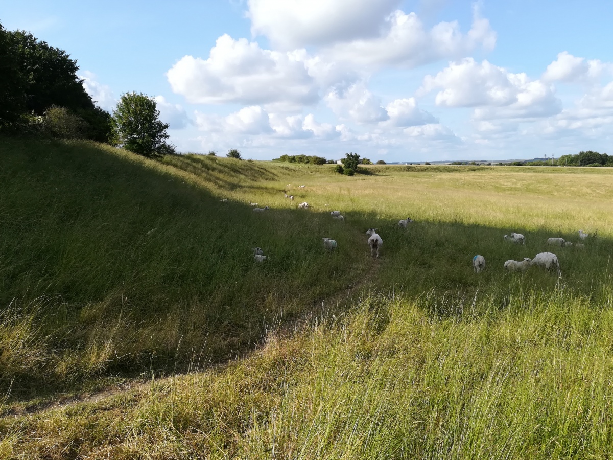
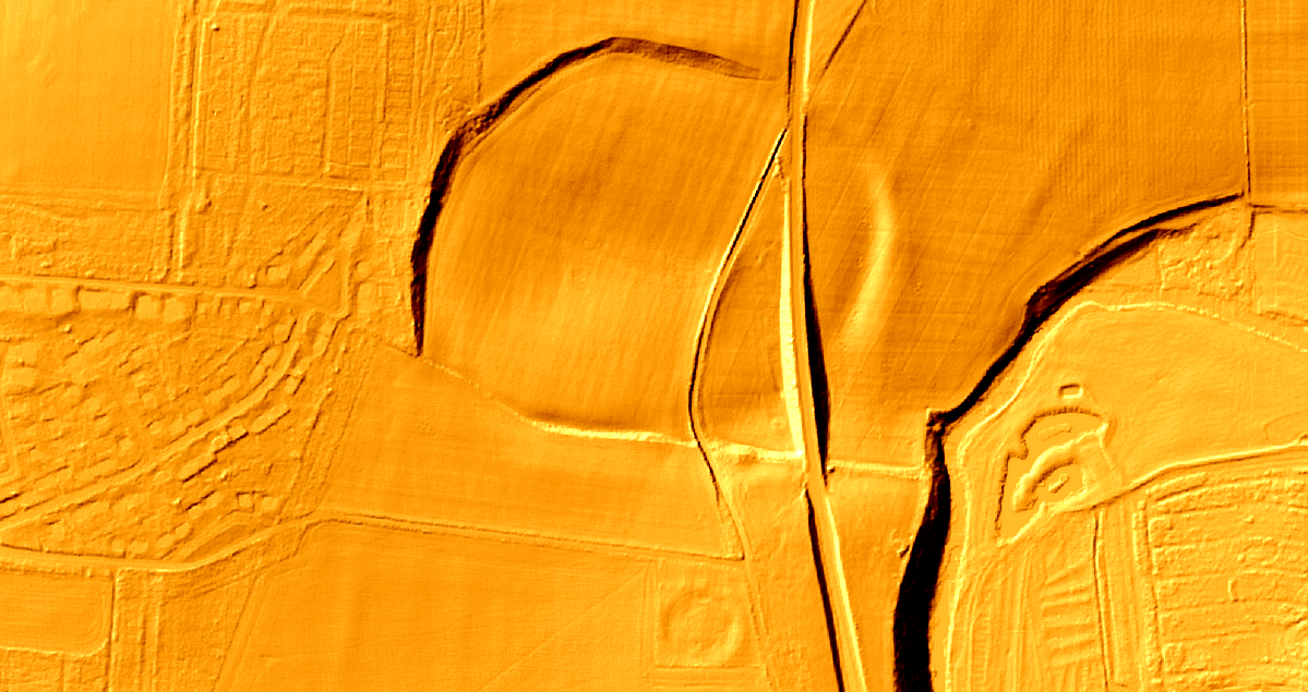
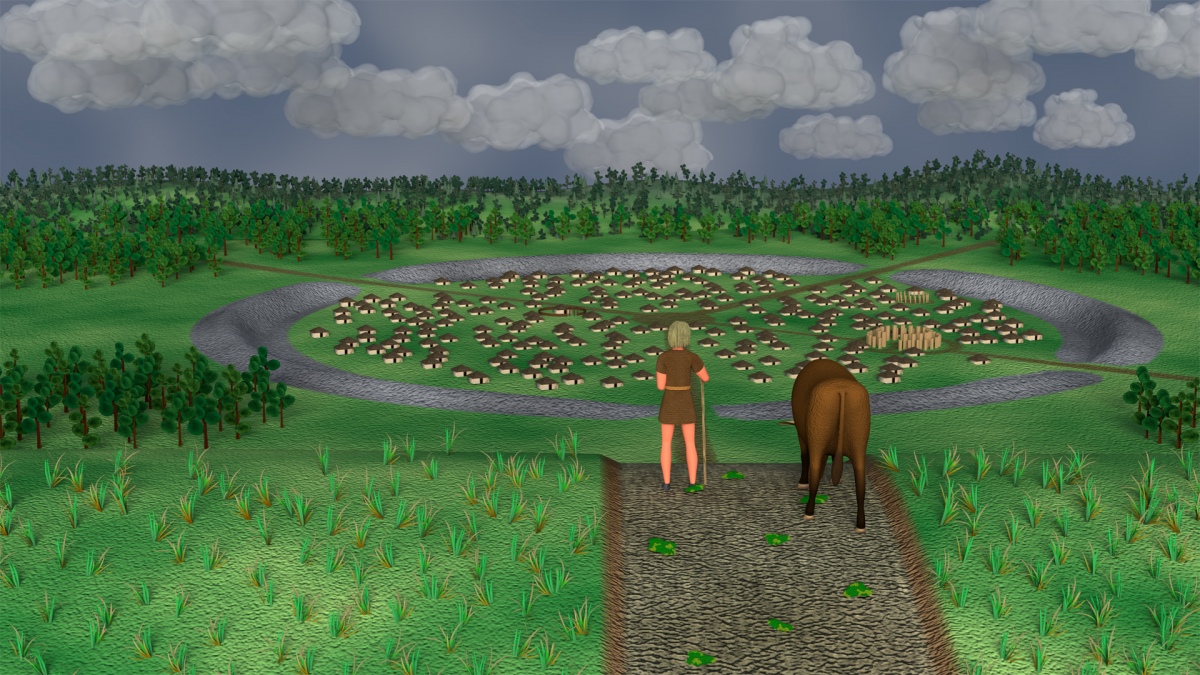
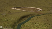
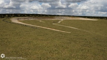
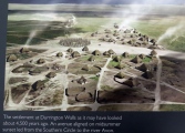
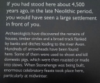
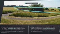
There were two entrances, one at the north-west and the other at the south-east just 60m from the River Avon. Excavations revealed traces of two timber circles similar to Woodhenge and now interpreted as buildings. Surely not defensive, was it residential or religious?
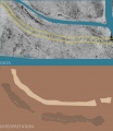
The A345 from Amesbury to Netheravon runs through the site. Park at Woodhenge. Discovery of a prehistoric ceremonial road sheds new light on the Wiltshire henges, including Stonehenge, see comment.
Page originally by Vicky Morgan
Previous news about Durrington:
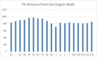
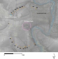
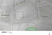
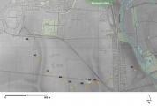
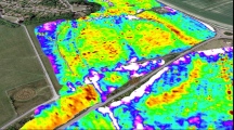
A series of massive geophysical anomalies, located south of the Durrington Walls henge monument have been identified during a fluxgate gradiometer survey undertaken by the Stonehenge Hidden Landscapes Project. The diameter of the circuit of pits exceeds 2km, so potentially the biggest prehistoric monument in Europe. There seems to be evidence of mathematics being used to lay out the site, and a summer solstice alignment
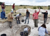
Excavation shows the reported 'buried sarsens' are actually large pits which seem to have been for large posts - possibly from up to 300 mature trees. So more questions - where did these come from and how were they extracted so carefully by vertical lifting? See the latest comments on our page.
Researchers collected jaw and tooth samples from the remains of 131 Neolithic pigs; isotopes that hint at the animals' origins. See the latest comments on our page for much more.
See the comments on our page for a recent Society of Antiquaries talk by Professor Vincent Gaffney on The Stonehenge Hidden Landscapes Project and the Durrington Walls Pits Circle
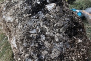
Note: Analysis of ancient poo shows the inhabitants of Durrington ate raw or undercooked freshwater fish and animal liver, lungs or intestines, more in the comments on this page
You may be viewing yesterday's version of this page. To see the most up to date information please register for a free account.


These are just the first 25 photos of Durrington Walls. If you log in with a free user account you will be able to see our entire collection.
Do not use the above information on other web sites or publications without permission of the contributor.
Click here to see more info for this site
Nearby sites
Key: Red: member's photo, Blue: 3rd party photo, Yellow: other image, Green: no photo - please go there and take one, Grey: site destroyed
Download sites to:
KML (Google Earth)
GPX (GPS waypoints)
CSV (Garmin/Navman)
CSV (Excel)
To unlock full downloads you need to sign up as a Contributory Member. Otherwise downloads are limited to 50 sites.
Turn off the page maps and other distractions
Nearby sites listing. In the following links * = Image available
177m SE 128° Durrington Walls South Circle* Timber Circle (SU1515043641)
372m S 174° Woodhenge (Wiltshire)* Henge (SU15054338)
459m S 169° Durrington 68 Timber Circle (SU151433)
526m SW 221° Cuckoo Stone (Wiltshire)* Standing Stone (Menhir) (SU1466443353)
1.1km NW 305° Larkhill Causewayed Enclosure* Causewayed Enclosure (SU14084440)
1.4km WSW 247° Amesbury Cursus (E)* Cursus (SU137432)
1.5km ESE 118° Watergate Long Barrow* Long Barrow (SU1635643051)
1.7km SW 236° Old King Barrows* Barrow Cemetery (SU13604280)
1.7km S 185° Blick Mead* Ancient Village or Settlement (SU1487242013)
2.0km SW 222° The King Barrows Ridge* Barrow Cemetery (SU137423)
2.0km SSE 156° Ratfyn Barrow* Round Barrow(s) (SU15834194)
2.0km SSW 206° Amesbury 38 Bowl Barrow* Round Barrow(s) (SU14114192)
2.1km SSW 192° Vespasian's Camp* Hillfort (SU14594173)
2.2km SW 226° New King Barrows* Barrow Cemetery (SU13454222)
2.3km S 174° Amesbury History Centre* Museum (SU1526841462)
2.4km E 95° Bulford Reconstructed Henges* Henge (SU1737243560)
2.4km ESE 104° Bulford Stone* Standing Stone (Menhir) (SU17364318)
2.5km SSW 199° Bluestonehenge* Stone Circle (SU14204137)
2.5km SW 227° Amesbury 39 Bowl Barrow* Round Barrow(s) (SU13154204)
2.6km WSW 244° The Avenue* Ancient Trackway (SU12694262)
2.6km WNW 284° Long Barrow alongside The Packway, Larkhill* Long Barrow (SU12474438)
2.7km SW 217° Coneybury Henge* Henge (SU134416)
2.7km NW 306° Knighton Down Long Barrow (SU12784535)
2.7km WSW 255° Great Cursus W Barrow* Round Barrow(s) (SU1235143043)
2.8km SSW 212° King Barrow (Amesbury)* Barrow Cemetery (SU13554137)
View more nearby sites and additional images


 We would like to know more about this location. Please feel free to add a brief description and any relevant information in your own language.
 Wir möchten mehr über diese Stätte erfahren. Bitte zögern Sie nicht, eine kurze Beschreibung und relevante Informationen in Deutsch hinzuzufügen.
 Nous aimerions en savoir encore un peu sur les lieux. S'il vous plaît n'hesitez pas à ajouter une courte description et tous les renseignements pertinents dans votre propre langue.
 Quisieramos informarnos un poco más de las lugares. No dude en añadir una breve descripción y otros datos relevantes en su propio idioma.