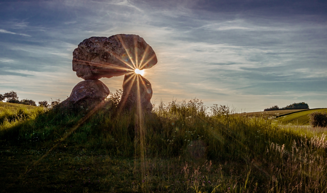
<< Our Photo Pages >> Devils Den - Burial Chamber or Dolmen in England in Wiltshire
Submitted by thecaptain on Tuesday, 27 February 2024 Page Views: 40157
Neolithic and Bronze AgeSite Name: Devils Den Alternative Name: The Devil's DenCountry: England County: Wiltshire Type: Burial Chamber or Dolmen
Nearest Town: Marlborough Nearest Village: Fyfield
Map Ref: SU1521169654 Landranger Map Number: 173
Latitude: 51.425693N Longitude: 1.782613W
Condition:
| 5 | Perfect |
| 4 | Almost Perfect |
| 3 | Reasonable but with some damage |
| 2 | Ruined but still recognisable as an ancient site |
| 1 | Pretty much destroyed, possibly visible as crop marks |
| 0 | No data. |
| -1 | Completely destroyed |
| 5 | Superb |
| 4 | Good |
| 3 | Ordinary |
| 2 | Not Good |
| 1 | Awful |
| 0 | No data. |
| 5 | Can be driven to, probably with disabled access |
| 4 | Short walk on a footpath |
| 3 | Requiring a bit more of a walk |
| 2 | A long walk |
| 1 | In the middle of nowhere, a nightmare to find |
| 0 | No data. |
| 5 | co-ordinates taken by GPS or official recorded co-ordinates |
| 4 | co-ordinates scaled from a detailed map |
| 3 | co-ordinates scaled from a bad map |
| 2 | co-ordinates of the nearest village |
| 1 | co-ordinates of the nearest town |
| 0 | no data |
Internal Links:
External Links:
I have visited· I would like to visit
tlcearth 43559959 PAB Traumrealistin KieKa cappy Couplands irodori-00 would like to visit
Twiff13 visited on 26th Aug 2023 - their rating: Cond: 4 Amb: 4 Access: 3 We parked at the top of the area, by the gallops (race track oval) and had a great view of the downs and the valley; it was a beautiful afternoon for walking. I walk on sticks (crutches left in the car) and the ground was good to walk on, a bit bumpy in places, but expected for late Summer pasture. The land is well maintained amd sometimes livestock in the fields so please keep your dogs on a lead. We followed the path on the OS map down a steep incline and then to a bottom field which looked like a small circle of large stones with a Hawthorn in the centre. Going through the gate, we walked through an overgrown pathway in the next field, fenced off and kept wild into the field where the dolmen is, here the path was properly mown short through the long grass. We could see large stones in the field leading up to Devil's Den which I thought could have been a small avenue of stone but later found out that this was a passage grave (see description on this site), so probably the remains of that? It's an impressive site, in a wonderful location, a great spot to sit and take in the surrounding views and appreciate the huge stones. Late Summer means long grasses so the smaller stones surrounding the dolmen could not be seen - thankful for the gallery on here!. By now, my knees were very painful so we decided to walk the track back to the road - this would be accessible by an all-terrain mobility vehicle, definitely not wheelchair accessible. Nevertheless, I managed to walk it without any drama. A really good visit.
Hordernm visited on 14th Apr 2023 - their rating: Cond: 4 Amb: 4 Access: 3
SimonBlackmore visited on 9th Apr 2023 - their rating: Cond: 3 Amb: 4 Access: 4
SimonBlackmore visited on 9th Apr 2023 - their rating: Cond: 3 Amb: 4 Access: 4
NDM visited on 4th Mar 2023 - their rating: Cond: 4 Amb: 5 Access: 2
philw visited on 19th Jul 2020 - their rating: Cond: 3 Amb: 5 Access: 2
KimIannucci visited on 29th Jul 2015 - their rating: Cond: 3 Amb: 4 Access: 3
mochyndeaer visited on 2nd Apr 2013 - their rating: Cond: 3 Amb: 5 Access: 4
SolarMegalith visited on 12th Mar 2011 - their rating: Cond: 4 Amb: 5 Access: 4
custer visited on 16th Jan 2011 - their rating: Cond: 3 Amb: 4 Access: 3 Short walk from the car park. Ideal point to further explore Fyfield Down and the fields of Sarsens. Nicely fenced off area, allowing access up to the stones. Great place.
johnstone visited on 1st Jul 2010 - their rating: Cond: 3 Amb: 4 Access: 4
TheCaptain visited on 16th Sep 2007 - their rating: Cond: 3 Amb: 3 Access: 4 As I was driving westwards along the A4 Sunday afternoon, I decided to stop in at the Devils Den for a look round, having not been there for many years - the stony delights a bit further west usually taking my attention. Knowing it is difficult to park on the A4 in order to walk up the track from Clatford Bottom, I decided to take the little road to the north, I believe towards Manstone farm, where there is a fairly large car park near to the racing stables. From there it is a pleasant walk along the ridge before dropping down into the valley where the Devils Den resides, with some nice views over the site as a whole to be had on the way (it always strikes me what a strange place this is for such a monument, low down in the valley like it is).
Unfortunately, when down on the overgrown trackway along the sarsen scattered valley bottom, there was no way into the field of the dolmen, with fences, nettles and much scrub preventing access to its field. Even getting to a point quite close by is not recommended in shorts - quite a painful experience ! I can only assume that the landowners are perhaps letting a fairly large strip of land become completely overgrown in order to deter people from clambering over the fences to go for a closer look.
TheCaptain visited on 25th Jul 2002 - their rating: Cond: 3 Amb: 3 Access: 4
graemefield visited on 8th Aug 1992 - their rating: Cond: 3 Amb: 4 Access: 3
NickyD visited - their rating: Cond: 3 Amb: 5 Access: 2
Phillwhite visited - their rating: Cond: 2 Amb: 4 Access: 3
NDM visited - their rating: Cond: 4 Amb: 4 Access: 3
Humbucker Andy B Bladup mdensham have visited here
Average ratings for this site from all visit loggers: Condition: 3.24 Ambience: 4.18 Access: 3.24
For more information see Pastscape Monument No. 220591 and Historic England List ID 1012321.
The Northern Antiquarian also has a page for this site - see their entry for the Devil’s Den, Clatford, Wiltshire. TNA include directions for reaching the site, old drawings of the stones, a photograph and a brief archaeology & history.
TNA have a separate page for the cup marks on top of the capstone - see Devil’s Den Cups, Clatford, Wiltshire, which says the 2inch across, 0.5inch deep cup marks have not been included in any Wiltshire archaeological survey, together with photographs.
The Journal of Antiquities also includes a page for The Devil’s Den, Marlborough, Wiltshire, which includes photographs, a description, local tradition and a list of reference sources for more information.
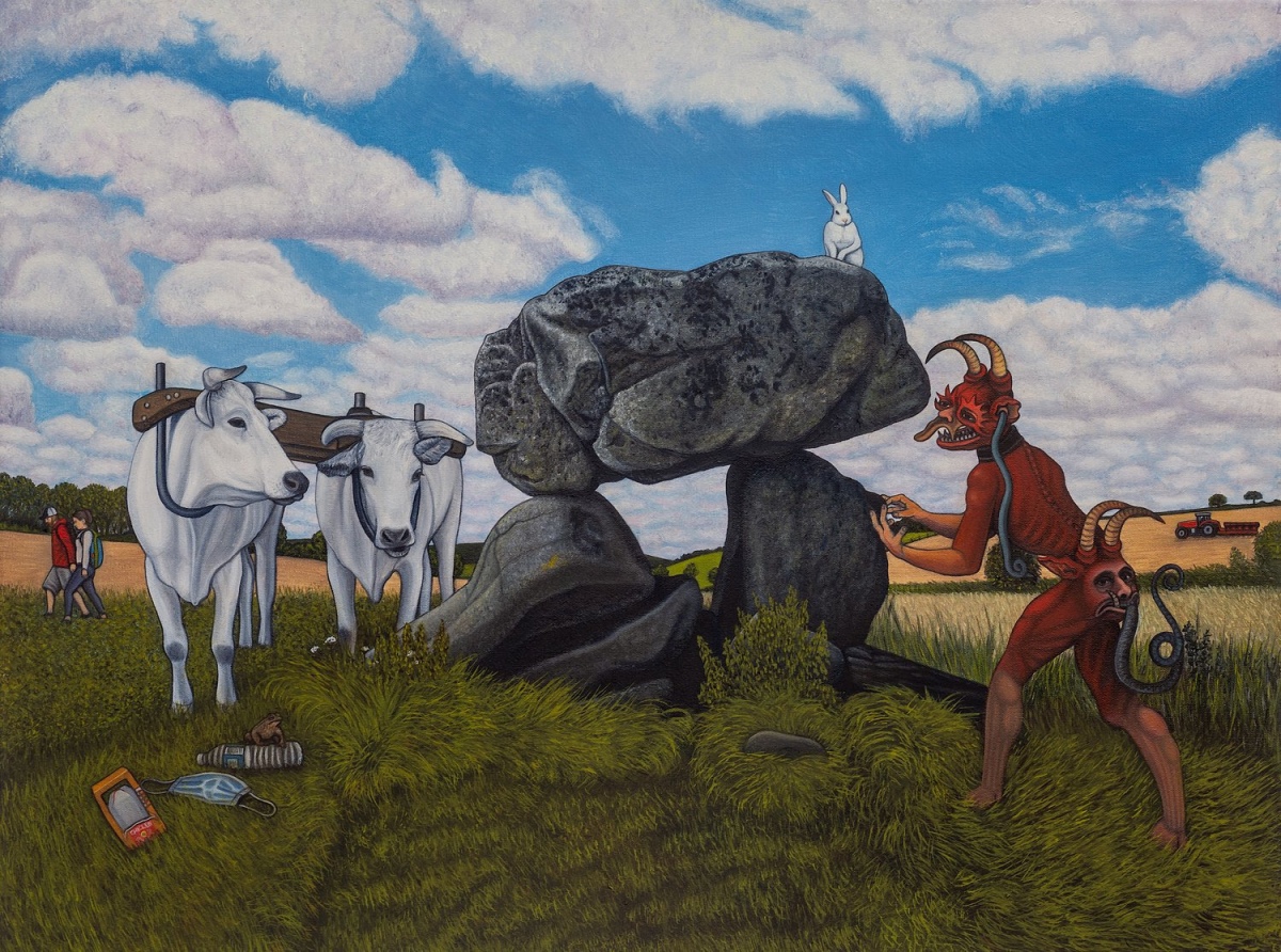
Note: Ben Edge's painting of the Devil's Den has inspired a new opera by Isabella Gellis, which will be performed by the Shadwell Opera this June 15th 2024 at the Nevill Holt festival in Leicestershire
You may be viewing yesterday's version of this page. To see the most up to date information please register for a free account.










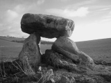
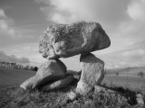
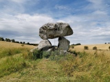

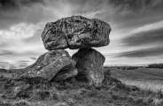
These are just the first 25 photos of Devils Den. If you log in with a free user account you will be able to see our entire collection.
Do not use the above information on other web sites or publications without permission of the contributor.
Click here to see more info for this site
Nearby sites
Key: Red: member's photo, Blue: 3rd party photo, Yellow: other image, Green: no photo - please go there and take one, Grey: site destroyed
Download sites to:
KML (Google Earth)
GPX (GPS waypoints)
CSV (Garmin/Navman)
CSV (Excel)
To unlock full downloads you need to sign up as a Contributory Member. Otherwise downloads are limited to 50 sites.
Turn off the page maps and other distractions
Nearby sites listing. In the following links * = Image available
1.1km SE 127° Broad Stones (Clatford) Stone Circle (SU16096900)
1.4km ESE 113° Manton Round Barrow* Round Barrow(s) (SU165691)
1.5km SE 143° Broadstones* Stone Circle (SU161685)
1.5km SW 226° Piggle Dene* Natural Stone / Erratic / Other Natural Feature (SU14126858)
1.7km NW 323° Fyfield Down* Ancient Village or Settlement (SU142710)
1.7km N 360° Manton Long Barrow* Long Barrow (SU152714)
1.7km WNW 300° Mother's Jam* Natural Stone / Erratic / Other Natural Feature (SU13697052)
1.8km NNW 333° Long Tom (Avebury)* Standing Stone (Menhir) (SU1438371290)
1.9km NNE 21° Manton Circle* Modern Stone Circle etc (SU1587971446)
2.0km WNW 299° The Toad Stone* Natural Stone / Erratic / Other Natural Feature (SU135706)
2.0km W 277° Pickledean Stone Circle (SU13196988)
2.3km W 266° Down Barn* Standing Stones (SU12966949)
2.3km WNW 292° Overton Downs Tumuli* Round Barrow(s) (SU13057051)
2.5km E 85° Seorfon Long Barrow (SU177699)
2.5km SSW 201° Lockeridge Grey Wethers* Natural Stone / Erratic / Other Natural Feature (SU143673)
2.5km SW 216° West Overton Bowl Barrow Round Barrow(s) (SU13736758)
2.6km NNW 327° Totterdown Wood dew pond holed stone* Sculptured Stone (SU13807179)
2.6km NW 317° Fyfield Down (Avebury)* Rock Art (SU13437152)
2.9km E 80° Marlborough Common Barrows* Barrow Cemetery (SU1806770169)
2.9km WNW 298° Overton Down Barrow* Round Barrow(s) (SU12607104)
3.0km NW 308° Holed Stone (West Overton)* Ancient Village or Settlement (SU12857151)
3.0km NW 308° The Polisher (Fyfield Down)* Polissoir (SU12837150)
3.2km WNW 302° Monkton Down Bowl Barrow Round Barrow(s) (SU12487134)
3.3km WNW 297° Overton Down* Barrow Cemetery (SU12307113)
3.3km ESE 108° Merlin's Mount* Artificial Mound (SU18366865)
View more nearby sites and additional images



 We would like to know more about this location. Please feel free to add a brief description and any relevant information in your own language.
 Wir möchten mehr über diese Stätte erfahren. Bitte zögern Sie nicht, eine kurze Beschreibung und relevante Informationen in Deutsch hinzuzufügen.
 Nous aimerions en savoir encore un peu sur les lieux. S'il vous plaît n'hesitez pas à ajouter une courte description et tous les renseignements pertinents dans votre propre langue.
 Quisieramos informarnos un poco más de las lugares. No dude en añadir una breve descripción y otros datos relevantes en su propio idioma.