<< Our Photo Pages >> Bluestonehenge - Stone Circle in England in Wiltshire
Submitted by Andy B on Monday, 28 December 2009 Page Views: 37991
Neolithic and Bronze AgeSite Name: Bluestonehenge Alternative Name: Bluehenge, RiverhengeCountry: England County: Wiltshire Type: Stone Circle
Nearest Town: Amesbury
Map Ref: SU14204137
Latitude: 51.171397N Longitude: 1.79827W
Condition:
| 5 | Perfect |
| 4 | Almost Perfect |
| 3 | Reasonable but with some damage |
| 2 | Ruined but still recognisable as an ancient site |
| 1 | Pretty much destroyed, possibly visible as crop marks |
| 0 | No data. |
| -1 | Completely destroyed |
| 5 | Superb |
| 4 | Good |
| 3 | Ordinary |
| 2 | Not Good |
| 1 | Awful |
| 0 | No data. |
| 5 | Can be driven to, probably with disabled access |
| 4 | Short walk on a footpath |
| 3 | Requiring a bit more of a walk |
| 2 | A long walk |
| 1 | In the middle of nowhere, a nightmare to find |
| 0 | No data. |
| 5 | co-ordinates taken by GPS or official recorded co-ordinates |
| 4 | co-ordinates scaled from a detailed map |
| 3 | co-ordinates scaled from a bad map |
| 2 | co-ordinates of the nearest village |
| 1 | co-ordinates of the nearest town |
| 0 | no data |
Internal Links:
External Links:
I have visited· I would like to visit
Estrela visited on 6th Sep 2013 If the Googlemap image is correct then we were on the wrong side of the Avon, but if the small site map here is right we correctly identified the site on the road leading to Lake and Woodford just out of Stonehenge Road, where this henge was sited. It has variously been called West Amesbury henge, River henge and Bluestone henge or Bluehenge.
There is speculation that some of the bluestones were situated here (possibly about 27 of them) before being removed to Stonehenge later. The avenue led to (or was extended to) reach this henge which was very close to the river (Salisbury Avon) which would have been the main thoroughfare in the Neolithic and Bronze Age.
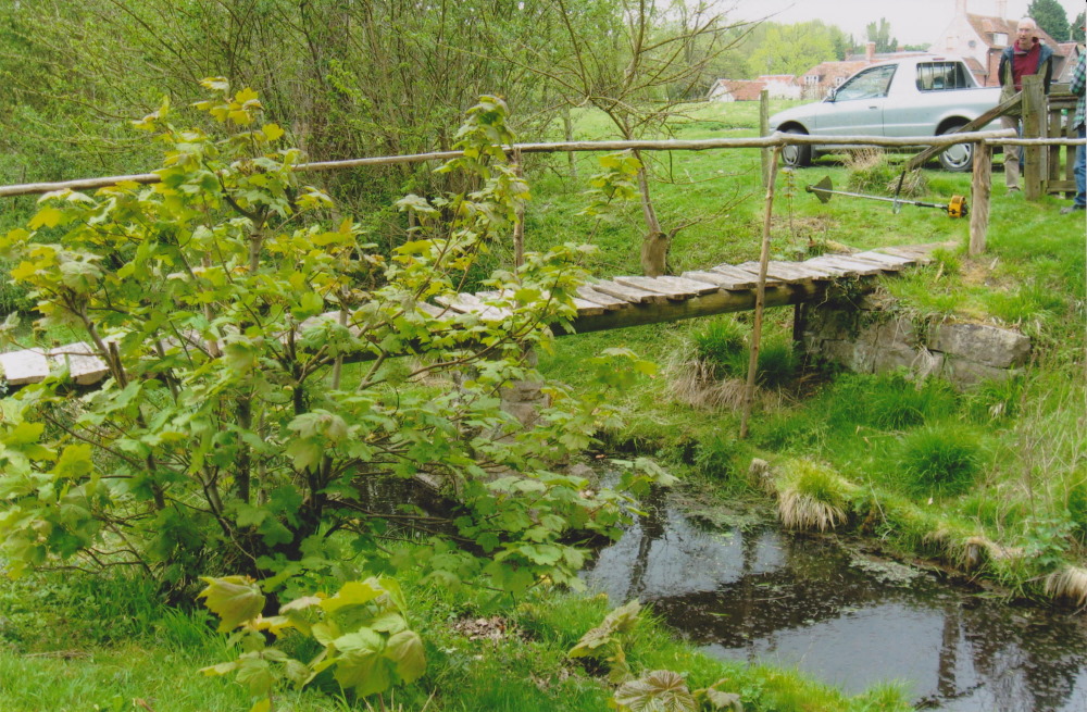
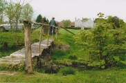
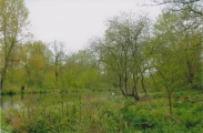
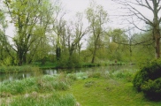
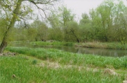
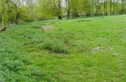
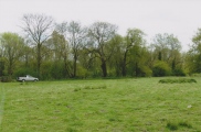
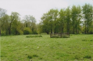
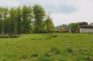
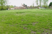
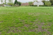
There is little to see or identify today.
Andy B have visited here
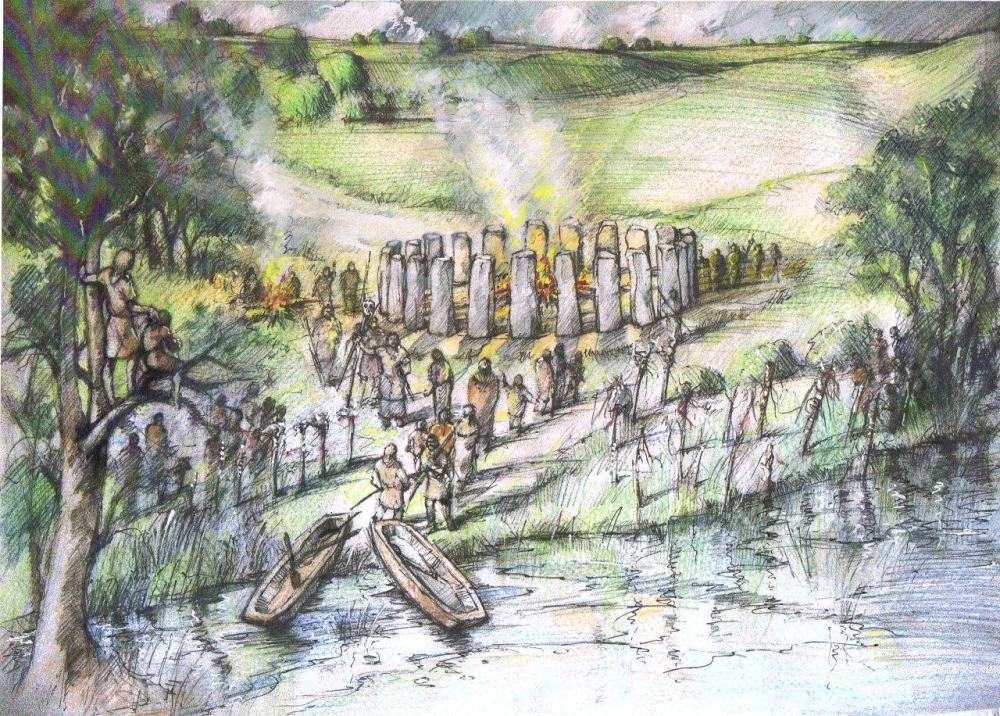
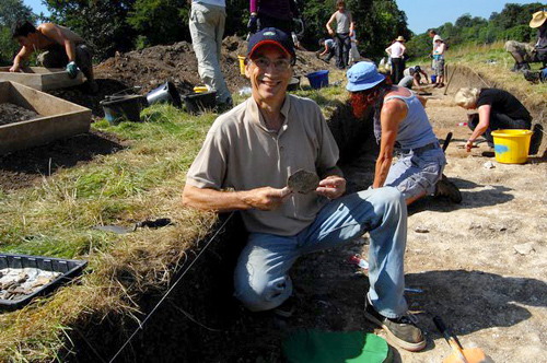
News on this exciting discovery was apparently leaked by a journalist, which upset some people involved in the project. It will be fully published as part of the Stonehenge Riverside Project in Feb 2010.
Quote from the Daily Mail: Archaeologists have discovered Stonehenge's little sister - just a mile from the famous monument. The prehistoric circle, unearthed in secret over the summer, is one of the most important prehistoric finds in decades.
Researchers have called it 'Bluehenge' after the colour of the 27 giant Welsh stones it once incorporated - but are now missing. (It's not really a henge though as it doesn't have a bank and ditch) The find is already challenging conventional wisdom about how Stonehenge was built - and what it was used for. Bluehenge was put up 5,000 years ago - around the same time as work began on Stonehenge - and appears to have been a miniature version of it.
The two circles stood together for hundreds of years before Bluehenge was dismantled. Researchers believe its stones were used to enlarge Stonehenge during one of a number of redevelopments.
Professor Tim Darvill, Stonehenge expert at Bournemouth University, said: 'This adds to the richness of the story of Stonehenge. We thought we knew it all, but over the last few years we have discovered that something as familiar as Stonehenge is still a challenge to explore and understand. It wouldn't surprise me if there weren't more circles.'
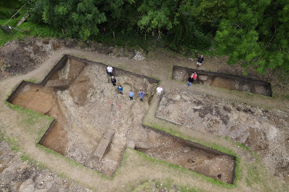
All that remains of the 60ft wide Bluehenge are the holes of 27 giant stones set on a ramped mount. Chips of blue stone found in the holes appear to be identical to the blue stones used in Stonehenge.
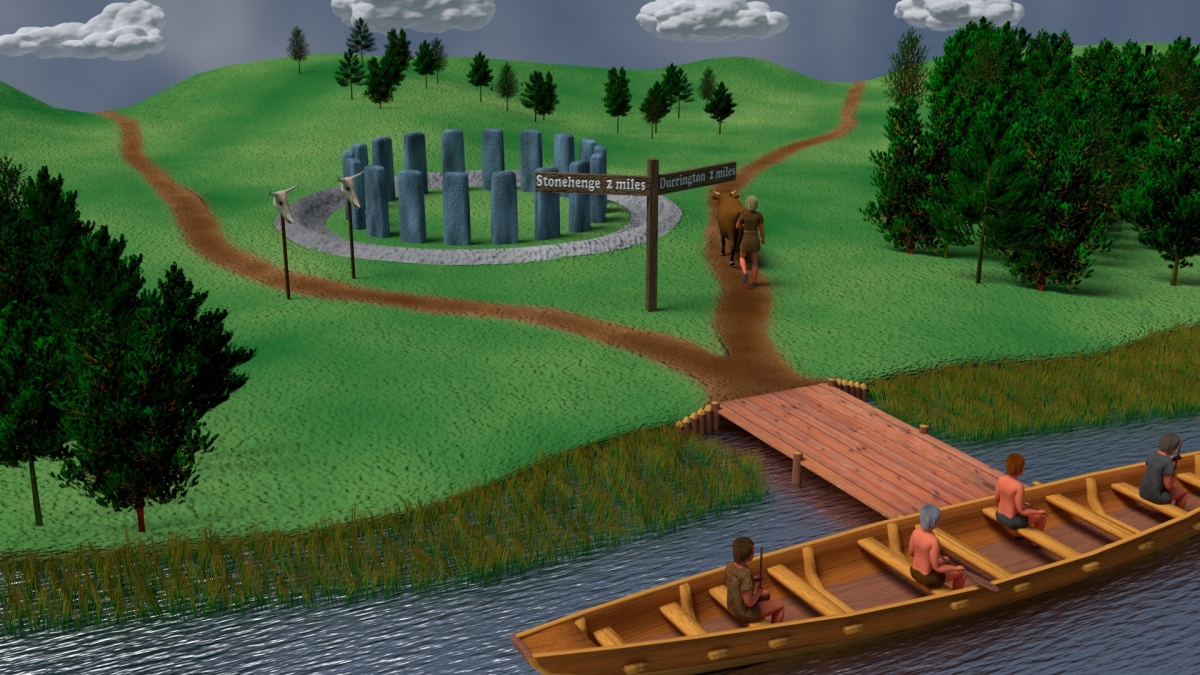
Read more in the Daily Mail, and have a laugh at their illustration
IMPORTANT NOTE: Location is an estimate based on the aerial photo in the Daily Mail, and my memory from the recent TV programme about the Stonehenge Riverside Project, which showed where it's thought the avenue linked up with the river Avon
Note: Exploring the connection between Stonehenge and Madagascar's modern-day megaliths - an interview with Madagascan archaeologist, Ramilisonina. See latest comment.
You may be viewing yesterday's version of this page. To see the most up to date information please register for a free account.






These are just the first 25 photos of Bluestonehenge. If you log in with a free user account you will be able to see our entire collection.
Do not use the above information on other web sites or publications without permission of the contributor.
Click here to see more info for this site
Nearby sites
Key: Red: member's photo, Blue: 3rd party photo, Yellow: other image, Green: no photo - please go there and take one, Grey: site destroyed
Download sites to:
KML (Google Earth)
GPX (GPS waypoints)
CSV (Garmin/Navman)
CSV (Excel)
To unlock full downloads you need to sign up as a Contributory Member. Otherwise downloads are limited to 50 sites.
Turn off the page maps and other distractions
Nearby sites listing. In the following links * = Image available
530m NE 47° Vespasian's Camp* Hillfort (SU14594173)
557m N 351° Amesbury 38 Bowl Barrow* Round Barrow(s) (SU14114192)
648m W 270° King Barrow (Amesbury)* Barrow Cemetery (SU13554137)
830m WNW 286° Coneybury Henge* Henge (SU134416)
929m NE 46° Blick Mead* Ancient Village or Settlement (SU1487242013)
1.1km NNW 332° The King Barrows Ridge* Barrow Cemetery (SU137423)
1.1km E 85° Amesbury History Centre* Museum (SU1526841462)
1.1km NW 319° New King Barrows* Barrow Cemetery (SU13454222)
1.2km S 175° Amesbury Down Bowl Barrows Barrow Cemetery (SU14314020)
1.2km WNW 303° Amesbury 39 Bowl Barrow* Round Barrow(s) (SU13154204)
1.5km NNW 337° Old King Barrows* Barrow Cemetery (SU13604280)
1.7km ENE 71° Ratfyn Barrow* Round Barrow(s) (SU15834194)
1.9km NNW 345° Amesbury Cursus (E)* Cursus (SU137432)
1.9km WNW 294° Stonehenge Bowl Barrow* Round Barrow(s) (SU12424217)
2.0km NW 310° The Avenue* Ancient Trackway (SU12694262)
2.0km SSE 162° Amesbury Down Triple Bell Barrow Round Barrow(s) (SU14833944)
2.0km NNE 13° Cuckoo Stone (Wiltshire)* Standing Stone (Menhir) (SU1466443353)
2.1km WNW 295° Heel Stone* Standing Stone (Menhir) (SU1229142244)
2.1km WNW 293° Stonehenge.* Stone Circle (SU1224742194)
2.1km NNE 25° Durrington 68 Timber Circle (SU151433)
2.2km NNE 23° Woodhenge (Wiltshire)* Henge (SU15054338)
2.4km W 266° Normanton Down* Barrow Cemetery (SU118412)
2.4km WNW 295° Stonehenge Car Park Postholes* Timber Circle (SU120424)
2.5km NNE 23° Durrington Walls South Circle* Timber Circle (SU1515043641)
2.5km NW 312° Great Cursus W Barrow* Round Barrow(s) (SU1235143043)
View more nearby sites and additional images


 We would like to know more about this location. Please feel free to add a brief description and any relevant information in your own language.
 Wir möchten mehr über diese Stätte erfahren. Bitte zögern Sie nicht, eine kurze Beschreibung und relevante Informationen in Deutsch hinzuzufügen.
 Nous aimerions en savoir encore un peu sur les lieux. S'il vous plaît n'hesitez pas à ajouter une courte description et tous les renseignements pertinents dans votre propre langue.
 Quisieramos informarnos un poco más de las lugares. No dude en añadir una breve descripción y otros datos relevantes en su propio idioma.