<< Our Photo Pages >> Bincknoll Castle - Hillfort in England in Wiltshire
Submitted by Andy B on Friday, 15 September 2006 Page Views: 15399
Iron Age and Later PrehistorySite Name: Bincknoll CastleCountry: England County: Wiltshire Type: Hillfort
Nearest Village: Broad Hinton
Map Ref: SU10747933
Latitude: 51.512796N Longitude: 1.846627W
Condition:
| 5 | Perfect |
| 4 | Almost Perfect |
| 3 | Reasonable but with some damage |
| 2 | Ruined but still recognisable as an ancient site |
| 1 | Pretty much destroyed, possibly visible as crop marks |
| 0 | No data. |
| -1 | Completely destroyed |
| 5 | Superb |
| 4 | Good |
| 3 | Ordinary |
| 2 | Not Good |
| 1 | Awful |
| 0 | No data. |
| 5 | Can be driven to, probably with disabled access |
| 4 | Short walk on a footpath |
| 3 | Requiring a bit more of a walk |
| 2 | A long walk |
| 1 | In the middle of nowhere, a nightmare to find |
| 0 | No data. |
| 5 | co-ordinates taken by GPS or official recorded co-ordinates |
| 4 | co-ordinates scaled from a detailed map |
| 3 | co-ordinates scaled from a bad map |
| 2 | co-ordinates of the nearest village |
| 1 | co-ordinates of the nearest town |
| 0 | no data |
Be the first person to rate this site - see the 'Contribute!' box in the right hand menu.
Internal Links:
External Links:
I have visited· I would like to visit
Hordernm visited on 26th Jul 2021 - their rating: Cond: 2 Amb: 4 Access: 1 Not easy to get to. We parked in a lay-by in Broad Town with a plan to visit the white horse and the castle. Public footpath off Chapel lane overgrown and impassible. Alternative route up Horn lane OK. Came back via the White Horse trail which has good views of the horse. Not well signed or defined in parts and is also partially overgrown with nettles and brambles. However that’s probably the best way in and out. Take a big stick.
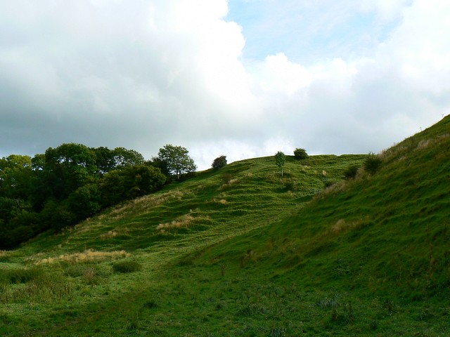
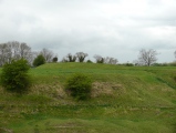
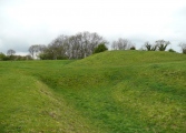
Site itself is great. Atmospheric location with lovely views. No structures or stonework visible but you can imagine the (pre-chalk pits) layout pretty well. Worth the struggle!
No shade at the top (but trees below). Some steep banks and drops. Cows live here.
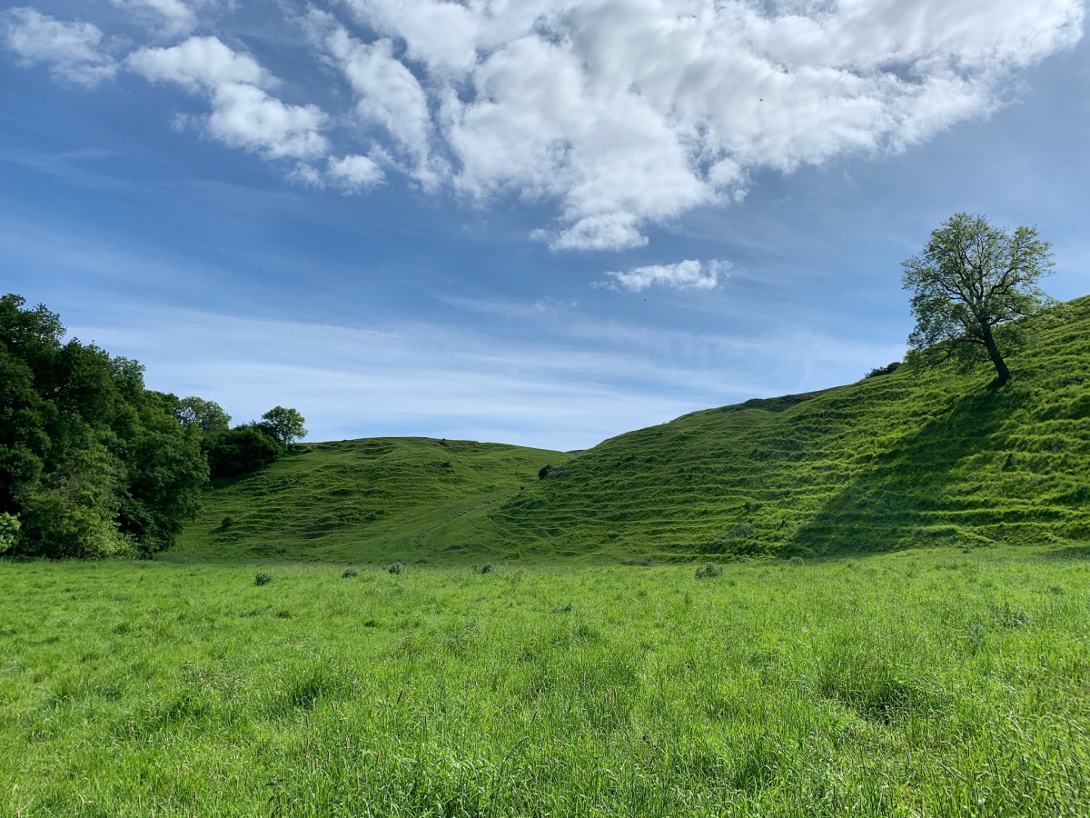
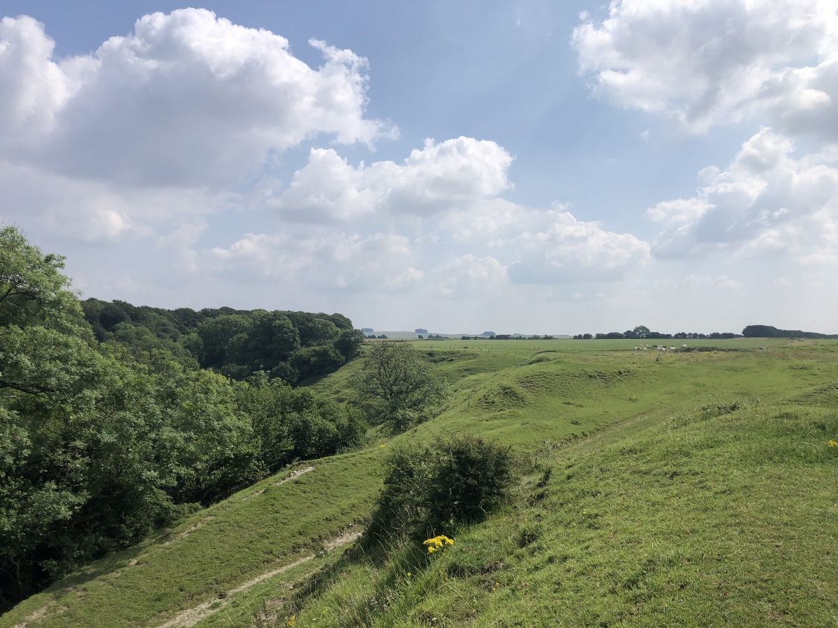
GemmaJ visited on 26th May 2020 - their rating: Cond: 3 Amb: 5 Access: 3 A wonderful site to visit, its quiet with spectacular views of Basset Down. From the summit there is access onto the White Horse Trail and the Ridgeway is visible with its distinctive tree clumps. There are many interesting features atop the summit including what looks to be a motte and bailey.
Andy B have visited here
Average ratings for this site from all visit loggers: Condition: 2.5 Ambience: 4.5 Access: 2
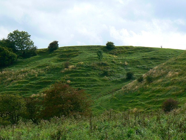
The Norman in question was probably Gilbert of Breteuil, who after the conquest acquired a block of manors centred on Broad Hinton, and built a castle here to guard and oversee them.
The earthworks of the now deserted hamlet of Bincknoll which grew up outside the castle may be discerned in Bincknoll Dip, sloping away to the north. But here the parish boundary was altered in 1884, and much of the clayland beneath the scarp, including Bincknoll Farm, Cotmarsh and part of Broad Town, which was formerly part of Broad Hinton, has been lost to other parishes.
More: Wiltshire CC
You may be viewing yesterday's version of this page. To see the most up to date information please register for a free account.



Do not use the above information on other web sites or publications without permission of the contributor.
Click here to see more info for this site
Nearby sites
Key: Red: member's photo, Blue: 3rd party photo, Yellow: other image, Green: no photo - please go there and take one, Grey: site destroyed
Download sites to:
KML (Google Earth)
GPX (GPS waypoints)
CSV (Garmin/Navman)
CSV (Excel)
To unlock full downloads you need to sign up as a Contributory Member. Otherwise downloads are limited to 50 sites.
Turn off the page maps and other distractions
Nearby sites listing. In the following links * = Image available
3.2km ENE 73° Wroughton Churchyard Cross Ancient Cross (SU1377380243)
3.8km SSE 165° Fiddler's Hill (Wiltshire)* Standing Stone (Menhir) (SU117757)
4.1km SSW 199° Winterbourne Bassett* Stone Circle (SU094755)
4.7km SSE 150° Hackpen Hill Standing Stone* Standing Stone (Menhir) (SU13067526)
4.9km SE 127° Barbury Castle Barrows* Barrow Cemetery (SU14687634)
5.2km SE 126° Barbury Castle* Hillfort (SU14927628)
5.6km SSE 146° Preshute Down Enclosure Ancient Village or Settlement (SU13857470)
5.7km ESE 118° Burderop Barrows Round Barrow(s) (SU15777665)
5.9km ESE 121° Memorial stone to Richard Jefferies and Alfred Williams* Modern Stone Circle etc (SU15847626)
6.0km ENE 67° Fir Clump, Burderop Wood Stone Circle (SU16298164)
6.0km ESE 119° Burderop Down* Ancient Village or Settlement (SU16077645)
6.6km ESE 116° Burderop Down Disc Barrow* Round Barrow(s) (SU16737642)
6.7km S 170° Monkton Down N* Barrow Cemetery (SU11937274)
6.7km W 270° Tockenham Spring* Holy Well or Sacred Spring (SU040793)
6.8km ENE 62° Broome Circle Stone Circle (SU16748251)
6.8km SSE 162° Old Chapel.* Long Barrow (SU12907290)
7.0km SSE 156° Rough Hill barrow cemetery Barrow Cemetery (SU1359172953)
7.1km S 172° Monkton Down* Barrow Cemetery (SU1176472347)
7.1km S 173° Monkton Down Long Barrow* Long Barrow (SU1163272303)
7.4km ESE 114° Draycot Foliat Bowl Barrow* Round Barrow(s) (SU17487634)
7.4km S 187° Winterbourne Monkton* Chambered Tomb (SU09797197)
7.6km SSE 165° Ridgeway* Ancient Trackway (SU127720)
8.0km ENE 68° Coate circle* Stone Circle (SU18168239)
8.1km S 175° Avebury Down Stone Circle* Stone Circle (SU11437127)
8.1km SSE 165° Holed Stone (West Overton)* Ancient Village or Settlement (SU12857151)
View more nearby sites and additional images


 We would like to know more about this location. Please feel free to add a brief description and any relevant information in your own language.
 Wir möchten mehr über diese Stätte erfahren. Bitte zögern Sie nicht, eine kurze Beschreibung und relevante Informationen in Deutsch hinzuzufügen.
 Nous aimerions en savoir encore un peu sur les lieux. S'il vous plaît n'hesitez pas à ajouter une courte description et tous les renseignements pertinents dans votre propre langue.
 Quisieramos informarnos un poco más de las lugares. No dude en añadir una breve descripción y otros datos relevantes en su propio idioma.