<< Our Photo Pages >> Belas Knap - Long Barrow in England in Gloucestershire
Submitted by vicky on Tuesday, 07 October 2003 Page Views: 26970
Neolithic and Bronze AgeSite Name: Belas Knap Alternative Name: Sudeley ICountry: England County: Gloucestershire Type: Long Barrow
Nearest Town: Cheltenham Nearest Village: Winchcombe
Map Ref: SP02092545 Landranger Map Number: 163
Latitude: 51.927563N Longitude: 1.971014W
Condition:
| 5 | Perfect |
| 4 | Almost Perfect |
| 3 | Reasonable but with some damage |
| 2 | Ruined but still recognisable as an ancient site |
| 1 | Pretty much destroyed, possibly visible as crop marks |
| 0 | No data. |
| -1 | Completely destroyed |
| 5 | Superb |
| 4 | Good |
| 3 | Ordinary |
| 2 | Not Good |
| 1 | Awful |
| 0 | No data. |
| 5 | Can be driven to, probably with disabled access |
| 4 | Short walk on a footpath |
| 3 | Requiring a bit more of a walk |
| 2 | A long walk |
| 1 | In the middle of nowhere, a nightmare to find |
| 0 | No data. |
| 5 | co-ordinates taken by GPS or official recorded co-ordinates |
| 4 | co-ordinates scaled from a detailed map |
| 3 | co-ordinates scaled from a bad map |
| 2 | co-ordinates of the nearest village |
| 1 | co-ordinates of the nearest town |
| 0 | no data |
Internal Links:
External Links:
I have visited· I would like to visit
SumDoood elad13 would like to visit
Couplands visited on 1st Jan 2025 - their rating: Cond: 4 Amb: 3 Access: 3
bishop_pam visited on 17th Jul 2024 - their rating: Cond: 5 Amb: 5 Access: 3
lboutside visited on 12th Jul 2024 - their rating: Cond: 4 Amb: 4 Access: 4
poho visited on 4th Dec 2022 - their rating: Cond: 4 Amb: 4 Access: 4 Late afteroon in December, just starting to get dark. A grey sky, and misty grey air making the distance fade and blur. The wind from the east, and a real or imagined smell of snow coming with it. It's fair to say this was quite an atmospheric time to visit! I passed through towards the end of a loop around the local area. It's a lovely valley, and I found a couple of very old trees too. All in all a very pleasing way to spend a winter afternoon.
lichen visited on 20th Dec 2021 - their rating: Amb: 5 Access: 4
TheCaptain visited on 10th Aug 2021 - their rating: Cond: 5 Amb: 4 Access: 3 A long Cotswold Way loop walk from Winchcombe, up to Belas Knap then over to Cleeve Hill via Postlip. A pint at the golf club, then up to the trig point and back to Winchcombe down the Isbourne valley.
FranPears visited on 31st May 2021 - their rating: Cond: 5 Amb: 5 Access: 3
ruthmj visited on 6th Jun 2020 - their rating: Cond: 5 Amb: 4 Access: 4 It’s a hot day when we climb the steep path from the road through a woodland of tall, spindly trees. Lockdown has been loosened and lots of people are out; we keep stepping aside to make room on the Cotswold Way. As you trace the spine of the wooded ridge the hummock rises suddenly from the earth like a wave. Today, it’s hardly a place of quiet contemplation: a scraggly-haired young man with his camping mat and rucksack asks us to take a photo, squatting in the false entrance where he’s balanced a strange purple sun-shaped disc.
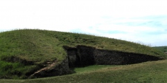
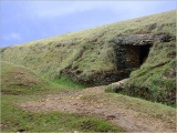
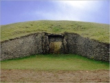
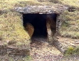
The impressive frontage engulfs you with two large ‘horns’, constructed from dry-stone-walling, of which the lower parts are original. Peering closely at these stones through the lichens and crumbling moss you can see how meticulously they were laid together, unmoved since those hands placed them six thousand years before.
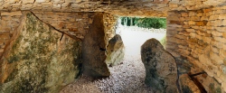
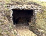
I bash my head on the lintels of the low-lying burial chambers as I peer inside. These are mostly reconstructed from the 1920s and 30s, but they accurately mirror the craftsmanship of the original: meticulously lined and walled in stone.
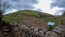
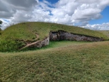
We retire to a vantage point across the field for lunch: the streamlined teardrop shape rises up like a surfacing whale from the ground. This was a monument made to be seen from afar. Some Romano-British pottery was found inside; for those who stashed it, the monument was already unimaginably ancient.
Full post about my visit on my newsletter here:
https://englandssecretlandscapes.substack.com/p/a-false-door-for-spirits-to-pass
odprich visited on 12th Sep 2019 - their rating: Cond: 5 Amb: 4 Access: 4
Catrinm visited on 29th Dec 2018 - their rating: Cond: 3 Amb: 4 Access: 3
MercuryMars visited on 24th Nov 2018 - their rating: Cond: 5 Amb: 5 Access: 2
drolaf visited on 1st Jun 2017 - their rating: Cond: 4 Amb: 5 Access: 3 a mile walk from Cleeve common car park
SimonBlackmore visited on 25th Mar 2017 - their rating: Cond: 4 Amb: 5 Access: 4
NickyD visited on 25th Mar 2016 - their rating: Cond: 5 Amb: 4 Access: 2
ajmp3003 visited on 1st Aug 2015 - their rating: Cond: 4 Amb: 4 Access: 3
jeffrep visited on 25th May 2011 - their rating: Cond: 4 Amb: 4 Access: 3
TheWhiteRider visited on 22nd Jun 2010 - their rating: Cond: 5 Amb: 5 Access: 3
SteveC visited on 26th May 2010 - their rating: Cond: 4 Amb: 4 Access: 4
woodini254 visited on 4th Oct 2009 - their rating: Cond: 5 Amb: 5 Access: 4 This a superb Long Barrow which is accessable via footpath leading off from the main road uphill. Well worth visiting.
Richard13 visited on 1st Aug 2009 - their rating: Cond: 4 Amb: 5 Access: 3
graemefield visited on 1st Jan 2007 - their rating: Cond: 4 Amb: 5 Access: 2
TheCaptain visited on 2nd Apr 2006 A visit to Belas Knap after a day with megalithic portal people starting at Rollright
TheCaptain visited on 6th Jul 1986 A visit to Belas Knap following a visit to the fledgling Glos Warwicks Railway
jeniferj visited - their rating: Cond: 5 Amb: 4 Access: 2
NDM Humbucker neolithique02 coin DrewParsons TimPrevett h_fenton hamish mdensham have visited here
Average ratings for this site from all visit loggers: Condition: 4.43 Ambience: 4.41 Access: 3.18
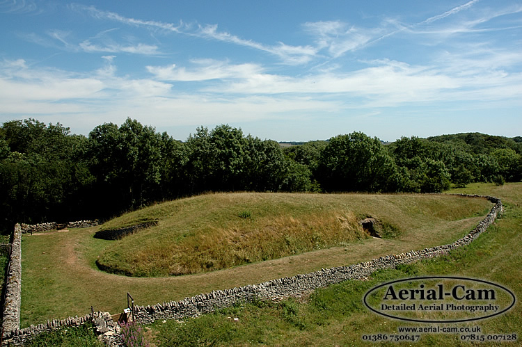
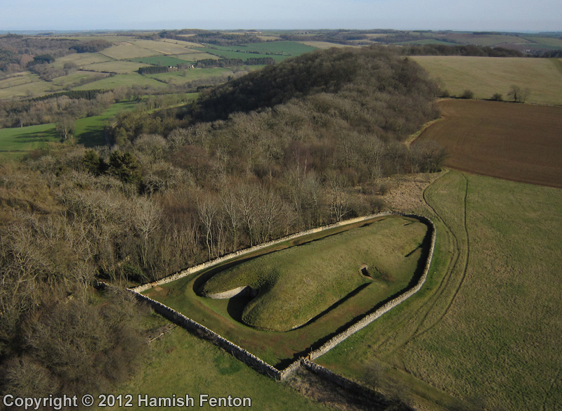
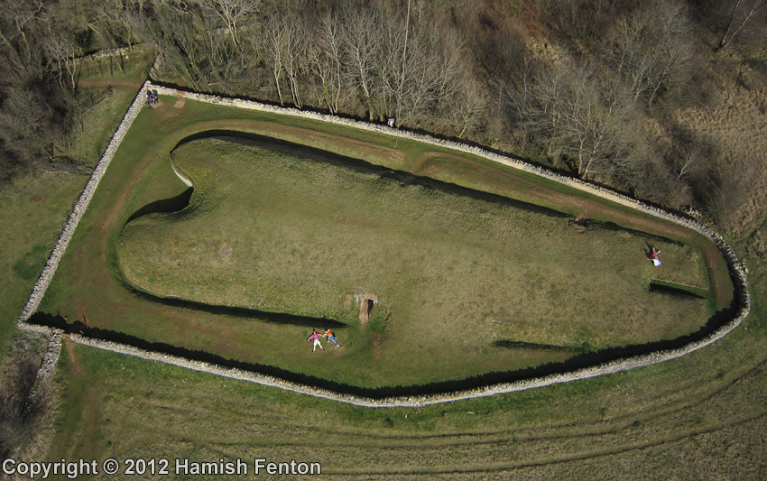
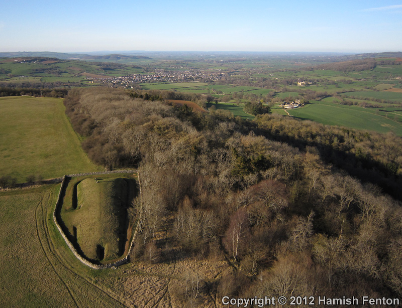
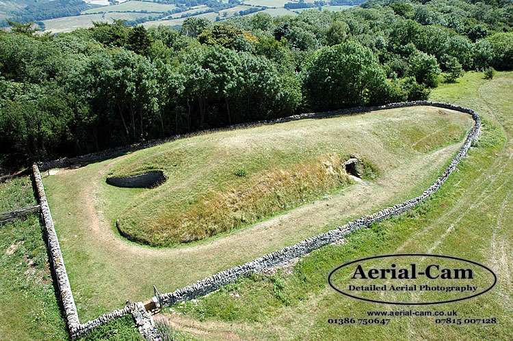
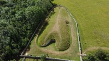
The barrow is 52m long 18m wide (at its maximum) and up to 4m high running in a north/south alignment.
It has a false entrance between curved horns at the northern end, three side chambers and a long stone cist at the south end.
You may be viewing yesterday's version of this page. To see the most up to date information please register for a free account.









These are just the first 25 photos of Belas Knap. If you log in with a free user account you will be able to see our entire collection.
Do not use the above information on other web sites or publications without permission of the contributor.
Click here to see more info for this site
Nearby sites
Key: Red: member's photo, Blue: 3rd party photo, Yellow: other image, Green: no photo - please go there and take one, Grey: site destroyed
Download sites to:
KML (Google Earth)
GPX (GPS waypoints)
CSV (Garmin/Navman)
CSV (Excel)
To unlock full downloads you need to sign up as a Contributory Member. Otherwise downloads are limited to 50 sites.
Turn off the page maps and other distractions
Nearby sites listing. In the following links * = Image available
2.8km ESE 113° Roel Camp* Hillfort (SP04682434)
3.3km NE 44° St. Kenelm's Well* Holy Well or Sacred Spring (SP0435827795)
3.6km W 270° Cleeve Hill (Gloucestershire)* Hillfort (SO98492546)
3.6km WNW 283° Cleeve Hill Cross Dyke* Misc. Earthwork (SO98562625)
3.8km WNW 288° The Ring (Gloucestershire)* Ancient Village or Settlement (SO98472659)
3.9km NW 305° Cleeve Hill Barrows Round Barrow(s) (SO98872767)
4.3km WSW 240° Prestbury (Glos) Chambered Tomb (SO984233)
4.4km NW 311° Nottingham Hill Carving (Gotherington)* Rock Art (SO98752835)
4.7km NW 309° Nottingham Hill* Hillfort (SO984284)
5.1km ENE 78° Guiting Wood Bowl Barrow* Round Barrow(s) (SP0710826545)
5.1km NE 54° Farmcote gatepost* Standing Stone (Menhir) (SP0624828468)
5.4km NW 317° Odo and Dodo* Standing Stones (SO98402935)
5.5km ESE 104° Roel Farm Bowl Barrow* Round Barrow(s) (SP0740324085)
5.8km NE 38° Hailes Wood Earthworks Misc. Earthwork (SP05663009)
6.0km SE 127° Slade Barn Chambered Cairn (SP069219)
6.2km NE 44° Beckbury Camp* Hillfort (SP06392988)
6.4km N 3° The Warren Hillfort (SP024318)
6.4km E 99° Greenfield Hill Barn Round Barrow* Round Barrow(s) (SP0844224465)
6.7km SSW 199° North Dowdeswell* Hillfort (SO99851910)
6.9km NE 47° Campden Lane gatepost* Marker Stone (SP07153009)
6.9km NNW 343° Alderton Cursus Cursus (SP00023199)
7.1km SSW 194° South Dowdeswell Hillfort (SP0040018600)
7.3km NE 47° Stanway Bowl Barrows* Round Barrow(s) (SP07413044)
7.5km WSW 252° The Wish Stone* Marker Stone (SO950231)
7.5km SSW 203° Lineover* Chambered Tomb (SO99231856)
View more nearby sites and additional images


 We would like to know more about this location. Please feel free to add a brief description and any relevant information in your own language.
 Wir möchten mehr über diese Stätte erfahren. Bitte zögern Sie nicht, eine kurze Beschreibung und relevante Informationen in Deutsch hinzuzufügen.
 Nous aimerions en savoir encore un peu sur les lieux. S'il vous plaît n'hesitez pas à ajouter une courte description et tous les renseignements pertinents dans votre propre langue.
 Quisieramos informarnos un poco más de las lugares. No dude en añadir una breve descripción y otros datos relevantes en su propio idioma.