<< Our Photo Pages >> Nottingham Hill - Hillfort in England in Gloucestershire
Submitted by 4clydesdale7 on Monday, 14 October 2002 Page Views: 22688
Iron Age and Later PrehistorySite Name: Nottingham Hill Alternative Name: Nottingham CampCountry: England County: Gloucestershire Type: Hillfort
Nearest Town: Bishop's Cleeve Nearest Village: Woodman Cote
Map Ref: SO984284 Landranger Map Number: 150
Latitude: 51.954086N Longitude: 2.024691W
Condition:
| 5 | Perfect |
| 4 | Almost Perfect |
| 3 | Reasonable but with some damage |
| 2 | Ruined but still recognisable as an ancient site |
| 1 | Pretty much destroyed, possibly visible as crop marks |
| 0 | No data. |
| -1 | Completely destroyed |
| 5 | Superb |
| 4 | Good |
| 3 | Ordinary |
| 2 | Not Good |
| 1 | Awful |
| 0 | No data. |
| 5 | Can be driven to, probably with disabled access |
| 4 | Short walk on a footpath |
| 3 | Requiring a bit more of a walk |
| 2 | A long walk |
| 1 | In the middle of nowhere, a nightmare to find |
| 0 | No data. |
| 5 | co-ordinates taken by GPS or official recorded co-ordinates |
| 4 | co-ordinates scaled from a detailed map |
| 3 | co-ordinates scaled from a bad map |
| 2 | co-ordinates of the nearest village |
| 1 | co-ordinates of the nearest town |
| 0 | no data |
Internal Links:
External Links:
I have visited· I would like to visit
4clydesdale7 visited on 27th Nov 2011 - their rating: Cond: 3 Amb: 4 Access: 4 The history of this site is fascinating - all sorts of artefacts have been discovered
h_fenton have visited here

Whether that theory is allowed to continue is a moot point - none of the group has provided much hard evidence of occupation - all are said to exhibit present day crop marks - all were said (by the Victorians) to have several barrows within their confines - but it is the old problem - where in such an extensive area do you start digging? -
Nottingham Hill is very easy to get to and will reward those who take their time to 'soak in the atmosphere' - I promise you, you will come away with more questions than answers
The Camp is about 5 miles north of Cheltenham and 1.5 miles northwest of Winchcombe and is best approached from the southeast where a short back road from the Cheltenham/Winchcombe Road takes you to within a stone's throw of the earthworks
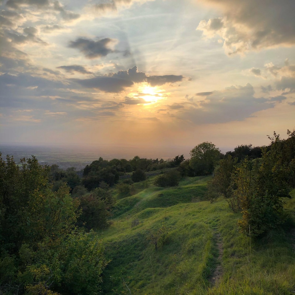
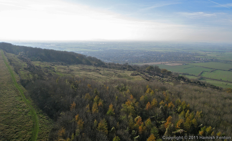
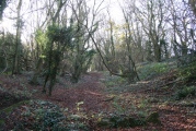
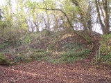
Technically the camp is an Iron Age Promontory Hillfort with a very steep crescent shaped natural scarp to the southwest (via north) to the east and gives the visitor a magnificent view to the Malvern and Bredon Hills over the Severn Valley the Avon and Evesham Vales - it is not level being lower in the SE than it is in the NW - it is bisected by an ancient trackway which joins further S an old salt track called the White Way - the SE is protected by two banks and two ditches which are interrupted by the track - I suspect that 100m to the SE of this entrance there are possibly more (protective) earthworks -
Despite what English Heritage state there are signs within of a possible series of barrows including large stones (too large for stone-walling) and about 1.5 km north, of course, can be found Odo and Dodo which are reputed to have been found on the site in the 1850s
The Camp was named both Cocca Byrig and Cocca Burh (Cock's Camp) in the Saxon Charters - there is a moated area near Gotherington, below the scarp, called Cockbury and one theory suggests that the Camp may be Tocca's Camp which the experts have failed to find -
The Camp is mentioned in Rudders History of Gloucestershire (1779); G.Witts Archaeological Handbook of Glos (1883) - Camp No 75; E J Burrow Ancient Entrenchments and Camps of Glos (1919) A H A Hogg British Hillforts (1979) and as ever pastscape Monument 117615
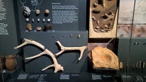
Some items that have been found include (as well as Odo and Dodo) Cup & Ring Marked Stones (1982) and a Bronze Age hoard (of mainly swords) (1972) - details of the excavations may be found in the Transactions of the Bristol & Glos Archeological Society (and are very interesting reading)
All in all a thought provoking site
You may be viewing yesterday's version of this page. To see the most up to date information please register for a free account.







Do not use the above information on other web sites or publications without permission of the contributor.
Click here to see more info for this site
Nearby sites
Key: Red: member's photo, Blue: 3rd party photo, Yellow: other image, Green: no photo - please go there and take one, Grey: site destroyed
Download sites to:
KML (Google Earth)
GPX (GPS waypoints)
CSV (Garmin/Navman)
CSV (Excel)
To unlock full downloads you need to sign up as a Contributory Member. Otherwise downloads are limited to 50 sites.
Turn off the page maps and other distractions
Nearby sites listing. In the following links * = Image available
353m E 98° Nottingham Hill Carving (Gotherington)* Rock Art (SO98752835)
867m SSE 147° Cleeve Hill Barrows Round Barrow(s) (SO98872767)
950m N 360° Odo and Dodo* Standing Stones (SO98402935)
1.8km S 178° The Ring (Gloucestershire)* Ancient Village or Settlement (SO98472659)
2.2km S 176° Cleeve Hill Cross Dyke* Misc. Earthwork (SO98562625)
2.9km S 178° Cleeve Hill (Gloucestershire)* Hillfort (SO98492546)
3.2km NNW 339° The Knolls* Ancient Village or Settlement (SO97253135)
3.9km NNE 24° Alderton Cursus Cursus (SP00023199)
4.7km SE 129° Belas Knap* Long Barrow (SP02092545)
5.1km S 180° Prestbury (Glos) Chambered Tomb (SO984233)
5.2km NE 50° The Warren Hillfort (SP024318)
5.8km NNW 339° The Tibblestone* Standing Stone (Menhir) (SO96333384)
6.0km E 96° St. Kenelm's Well* Holy Well or Sacred Spring (SP0435827795)
6.3km SSW 213° The Wish Stone* Marker Stone (SO950231)
6.8km SSW 211° Cheltenham Centre Stone* Marker Stone (SO9488422583)
7.0km SSW 212° Cheltenham Museum* Museum (SO947225)
7.4km ENE 77° Hailes Wood Earthworks Misc. Earthwork (SP05663009)
7.5km ESE 123° Roel Camp* Hillfort (SP04682434)
7.8km E 89° Farmcote gatepost* Standing Stone (Menhir) (SP0624828468)
8.1km E 79° Beckbury Camp* Hillfort (SP06392988)
8.9km ESE 102° Guiting Wood Bowl Barrow* Round Barrow(s) (SP0710826545)
8.9km E 79° Campden Lane gatepost* Marker Stone (SP07153009)
9.2km ENE 77° Stanway Bowl Barrows* Round Barrow(s) (SP07413044)
9.4km S 171° North Dowdeswell* Hillfort (SO99851910)
9.9km S 175° Lineover* Chambered Tomb (SO99231856)
View more nearby sites and additional images


 We would like to know more about this location. Please feel free to add a brief description and any relevant information in your own language.
 Wir möchten mehr über diese Stätte erfahren. Bitte zögern Sie nicht, eine kurze Beschreibung und relevante Informationen in Deutsch hinzuzufügen.
 Nous aimerions en savoir encore un peu sur les lieux. S'il vous plaît n'hesitez pas à ajouter une courte description et tous les renseignements pertinents dans votre propre langue.
 Quisieramos informarnos un poco más de las lugares. No dude en añadir una breve descripción y otros datos relevantes en su propio idioma.