<< Our Photo Pages >> Duddo Five Stones - Stone Circle in England in Northumberland
Submitted by kelpie on Wednesday, 24 September 2014 Page Views: 40085
Neolithic and Bronze AgeSite Name: Duddo Five Stones Alternative Name: Duddo Four Stones; The Singing Stones; ERA-4; Beckensall 6; SAM ND13; N2344Country: England County: Northumberland Type: Stone Circle
Nearest Town: Wooler Nearest Village: Duddo
Map Ref: NT9305743705 Landranger Map Number: 74
Latitude: 55.686770N Longitude: 2.111993W
Condition:
| 5 | Perfect |
| 4 | Almost Perfect |
| 3 | Reasonable but with some damage |
| 2 | Ruined but still recognisable as an ancient site |
| 1 | Pretty much destroyed, possibly visible as crop marks |
| 0 | No data. |
| -1 | Completely destroyed |
| 5 | Superb |
| 4 | Good |
| 3 | Ordinary |
| 2 | Not Good |
| 1 | Awful |
| 0 | No data. |
| 5 | Can be driven to, probably with disabled access |
| 4 | Short walk on a footpath |
| 3 | Requiring a bit more of a walk |
| 2 | A long walk |
| 1 | In the middle of nowhere, a nightmare to find |
| 0 | No data. |
| 5 | co-ordinates taken by GPS or official recorded co-ordinates |
| 4 | co-ordinates scaled from a detailed map |
| 3 | co-ordinates scaled from a bad map |
| 2 | co-ordinates of the nearest village |
| 1 | co-ordinates of the nearest town |
| 0 | no data |
Internal Links:
External Links:
I have visited· I would like to visit
43559959 Andy B quantumpoet HollyG Monocular71 Pressure would like to visit
wildtalents visited on 16th Mar 2025 - their rating: Cond: 3 Amb: 5 Access: 4 Visited with Ian M. We took a circular walk approach, with a smattering of lost, which gave a great sense of getting to feel the site as it gradually came into view. Took the direct route back to the lay-by.
brianlavelle visited on 18th Oct 2023 - their rating: Cond: 4 Amb: 5 Access: 3
Kimmy visited on 1st Jan 2021 Visited this loads of times, bit of a walk from the roadside but the circle changes in the seasons dramatically ! Really nice views when you get there !
Anne T visited on 29th May 2019 - their rating: Cond: 3 Amb: 5 Access: 4 Duddo Five Stones, Northumberland: We had three tries at reaching this stone circle, until we discovered the actual, relatively new 'permissive path'. Our first attempt was using the footpath to the north of the stones, but the footpath had been ploughed out and we had to retrace our steps. Then we used the marked footpath which ran from NT 93907 42659, through the Duddo Farm cottages onto open land full of wild flowers, to NT 93495 43489, where we could see the stones atop a small rise in the field. Andrew walked further on to see if there was a footpath from the north/north east, but nothing, so we decided to follow the tractor tracks through the wheat field, to NT 93084 43470, where we spotted a line of marked canes and a proper path through the crop to the stones – this was the last part of the permissive footpath, which we followed up to the stones.
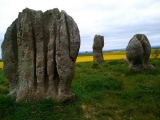
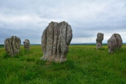
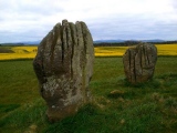
Stan Beckensall is certainly right in saying this is a spectacular site – the views all around are amazing, and far-reaching. The stones are very attractive, with their very fluted profiles.
There is an interpretation board (put up by DEFRA, facing away from the stone circle, at NT 92968 43718.
I took my time photographing the stones from different angles, and each individual stone. I did manage to catch the four cup marks on the eastern most stone, but how ERA/NADRAF spotted these amongst the natural features, I’m not sure!
We followed the permissive footpath all the way back down to the road, to the west of the village, running from NT 93221 42619 all the way to the stones. There were a number of cars parked here (there wasn’t when we drove past the first time), together with a small sign saying ‘stone circle’ (which I’d missed) and also a sign explaining about the permissive footpath).
bishop_pam visited on 18th Aug 2017 - their rating: Cond: 5 Amb: 4 Access: 3
drolaf visited on 9th Jul 2016 - their rating: Cond: 2 Amb: 4 Access: 3 about a mile from road layby
peetdi visited on 1st Oct 2014 - their rating: Cond: 5 Amb: 4 Access: 4
Modern-Neolithic visited on 20th Apr 2013 - their rating: Cond: 4 Amb: 5 Access: 3
SolarMegalith visited on 29th Sep 2008 - their rating: Cond: 4 Amb: 5 Access: 4
Richard13 visited on 1st Aug 2005 - their rating: Cond: 3 Amb: 5 Access: 3
megalithicmatt visited on 8th Apr 2005 - their rating: Cond: 3 Amb: 4 Access: 3 Very rushed visit. Don't remember much.
Xnorthumbrian visited on 1st Jan 1980 Prior to current farm occupants. When you had to be local & request permission to visit the site! It's much up graded since then & will visit the next time I'm in the area.
ericgrindle visited - their rating: Cond: 4 Amb: 4 Access: 3 The Stones are very impressive. They are situated on a hill with great views all round. The stones are well weathered with lots of character.
Eric
coin visited - their rating: Cond: 4 Amb: 4 Access: 4
michiep Bladup TimPrevett kelpie have visited here
Average ratings for this site from all visit loggers: Condition: 3.67 Ambience: 4.5 Access: 3.42
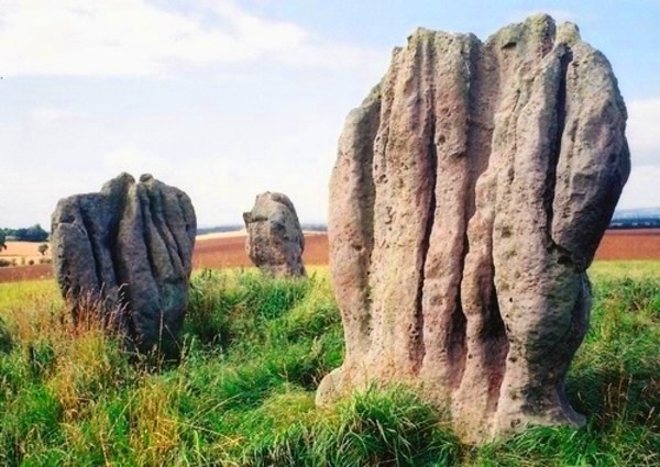
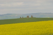
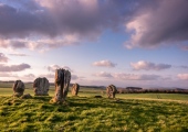
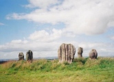
Burl says the the direction the stones face in the circle is wrong and that some of them rock under little pressure. They make a fine spectacle standing on the skyline of the hill and it is easy to see why the place was chosen.
For more information see Pastscape Monument No. 4119 and Historic England List Entry 1006622.
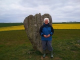
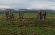
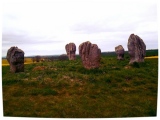
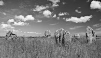
The Historic England entry tells us: "The monument, also known as Duddo Five Stones, includes a stone circle of Neolithic/Bronze Age date, situated on top of a large knoll overlooking the River Tweed to the west. The monument includes five standing stones forming a rough circle approximately 10.5m in diameter. The stones are weathered sandstone and vary in height from 1.5m to 2.3m with the largest stone being 1.8 wide and 0.5m in depth. The circle is open to the west where one stone is considered to be missing. Parts of the site were excavated in the 19th century, and this work indicated that there were originally six stones. The ENE stone was re-erected after 1903, prior to this the site was known as Duddo Four Stones. Partial excavation in 1890 located a central pit containing 'much charcoal and bone.'"
The rock art on one of the standing stones is also recorded as ERA-4 The Duddo Stones, which tells us there a natural cups, large and deep, on one of the stones, but the most easterly stone has an oblique line of artificial cups. The ERA entry includes photographs, a panoramic photograph, a plan of the stone and its motifs, plus photogrammetry and a QTVR model.
The Journal of Antiquities also includes an entry for the Duddo Five Stones, Northumbria, which includes photographs, background information, directions for finding these stones, and local folklore. The Journal adds other alternative names for this stone circle include "The Women" and "The Seven Turnip Pickers".
Access to the Duddo Stones is 'Access by Right of Way'.
Note: From 1st October 2014, a new permissive path to the stone circle was established. This runs from NT 93220 42586 northwards to the stones. For more details about the permission to use this path and closure times, see the comment section below.
You may be viewing yesterday's version of this page. To see the most up to date information please register for a free account.
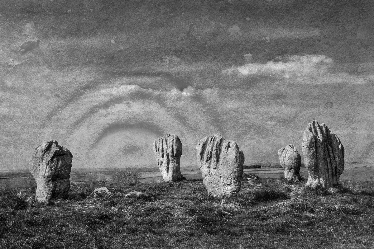
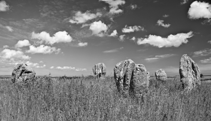
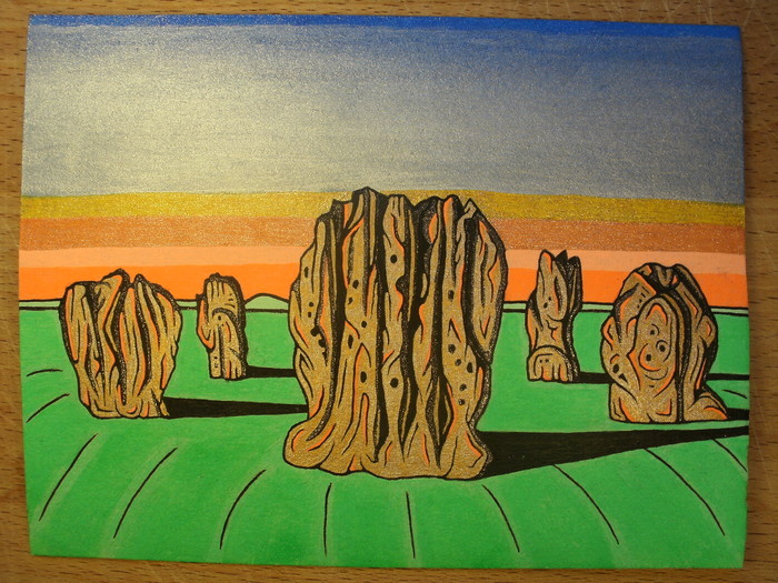






These are just the first 25 photos of Duddo Five Stones. If you log in with a free user account you will be able to see our entire collection.
Do not use the above information on other web sites or publications without permission of the contributor.
Click here to see more info for this site
Nearby sites
Key: Red: member's photo, Blue: 3rd party photo, Yellow: other image, Green: no photo - please go there and take one, Grey: site destroyed
Download sites to:
KML (Google Earth)
GPX (GPS waypoints)
CSV (Garmin/Navman)
CSV (Excel)
To unlock full downloads you need to sign up as a Contributory Member. Otherwise downloads are limited to 50 sites.
Turn off the page maps and other distractions
Nearby sites listing. In the following links * = Image available
4.0km S 184° St Mary's Well (New Etal)* Holy Well or Sacred Spring (NT92763976)
4.0km ESE 111° Lickar Moor Rock Art (NT9680042300)
4.1km S 188° Etal Fort Hillfort (NT925396)
4.2km W 267° Twizel Standing Stone* Standing Stone (Menhir) (NT88804349)
4.4km S 187° Broom Ridge Round Barrow(s) (NT925393)
4.8km NW 319° Norham Cross* Ancient Cross (NT8992447329)
5.0km NW 318° St Cuthbert's Church (Norham)* Ancient Cross (NT8968447411)
5.1km ESE 124° Watch Law Farm Rock Art (NT9733040850)
5.2km NW 304° Nun's Well (Upsettlington)* Holy Well or Sacred Spring (NT8870446652)
5.2km WNW 303° St Mary's Well (Upsettlington)* Holy Well or Sacred Spring (NT8865846592)
5.3km WNW 301° Monk's Well (Upsettlington)* Holy Well or Sacred Spring (NT8849646471)
6.2km N 11° Milfield Cursus Cursus (NT942498)
6.5km S 172° Ford Westfield a & b Rock Art (NT9390037300)
6.7km SSE 150° Blackchesters* Hillfort (NT96383793)
7.0km SW 221° The King's Stone (Coldstream)* Standing Stone (Menhir) (NT88423845)
7.5km NNE 27° Ord A, B & C Rock Art (NT9645050350)
7.6km SSE 151° Broomridge 4 Rock Art (NT9678237048)
7.7km SSE 149° Broom Ridge Barrow* Round Barrow(s) (NT970371)
7.7km SSE 150° Broomridge 3* Rock Art (NT9687637023)
7.7km SSE 149° Broomridge 2* Rock Art (NT9704237046)
7.8km SSE 147° Broomridge 1* Rock Art (NT9729837110)
7.9km SSW 206° Branxton Hill Settlement Hillfort (NT896366)
8.1km SE 145° Goatscrag a Rock Art (NT9766437040)
8.1km SE 145° Goatscrag Rock Shelter* Cave or Rock Shelter (NT9771237019)
8.2km S 180° Milfield North* Henge (NT930355)
View more nearby sites and additional images


 We would like to know more about this location. Please feel free to add a brief description and any relevant information in your own language.
 Wir möchten mehr über diese Stätte erfahren. Bitte zögern Sie nicht, eine kurze Beschreibung und relevante Informationen in Deutsch hinzuzufügen.
 Nous aimerions en savoir encore un peu sur les lieux. S'il vous plaît n'hesitez pas à ajouter une courte description et tous les renseignements pertinents dans votre propre langue.
 Quisieramos informarnos un poco más de las lugares. No dude en añadir una breve descripción y otros datos relevantes en su propio idioma.