<< Our Photo Pages >> Mare and Foal - Standing Stones in England in Northumberland
Submitted by spoors599 on Thursday, 25 July 2002 Page Views: 15125
Neolithic and Bronze AgeSite Name: Mare and FoalCountry: England County: Northumberland Type: Standing Stones
Nearest Town: Hexham Nearest Village: Haltwhistle
Map Ref: NY72536633 Landranger Map Number: 86
Latitude: 54.990793N Longitude: 2.430853W
Condition:
| 5 | Perfect |
| 4 | Almost Perfect |
| 3 | Reasonable but with some damage |
| 2 | Ruined but still recognisable as an ancient site |
| 1 | Pretty much destroyed, possibly visible as crop marks |
| 0 | No data. |
| -1 | Completely destroyed |
| 5 | Superb |
| 4 | Good |
| 3 | Ordinary |
| 2 | Not Good |
| 1 | Awful |
| 0 | No data. |
| 5 | Can be driven to, probably with disabled access |
| 4 | Short walk on a footpath |
| 3 | Requiring a bit more of a walk |
| 2 | A long walk |
| 1 | In the middle of nowhere, a nightmare to find |
| 0 | No data. |
| 5 | co-ordinates taken by GPS or official recorded co-ordinates |
| 4 | co-ordinates scaled from a detailed map |
| 3 | co-ordinates scaled from a bad map |
| 2 | co-ordinates of the nearest village |
| 1 | co-ordinates of the nearest town |
| 0 | no data |
Internal Links:
External Links:
I have visited· I would like to visit
bishop_pam visited on 29th Aug 2017 - their rating: Cond: 4 Amb: 4 Access: 3
SolarMegalith visited on 20th Jun 2016 - their rating: Cond: 2 Amb: 4 Access: 4
Anne T visited on 18th Jun 2016 - their rating: Cond: 3 Amb: 4 Access: 4 Mare & Foal (2nd visit). We had been up at nearby Edges Green for a geology field day (afternoon) as part of the Tynedale North of the Wall Archaeology Group and had the pleasure of taking one of the members of the group (well known to the Portal, but I don't want to give his name here as I've not asked his permission) up to this small but brilliantly placed stone circle. Parking by the side of the minor road off the Military Road, we went through the gate in the field this time (as opposed to clambering over the wooden fence by the road). The ground was really tussocky and walking was difficult for the first 100 yards or so, having to balance on each one to take a step. Andrew and our guest marched off as if it was level ground, and I felt envious! Whilst there isn't a footpath up to this site, it looked as if other people had also recently walked this way.
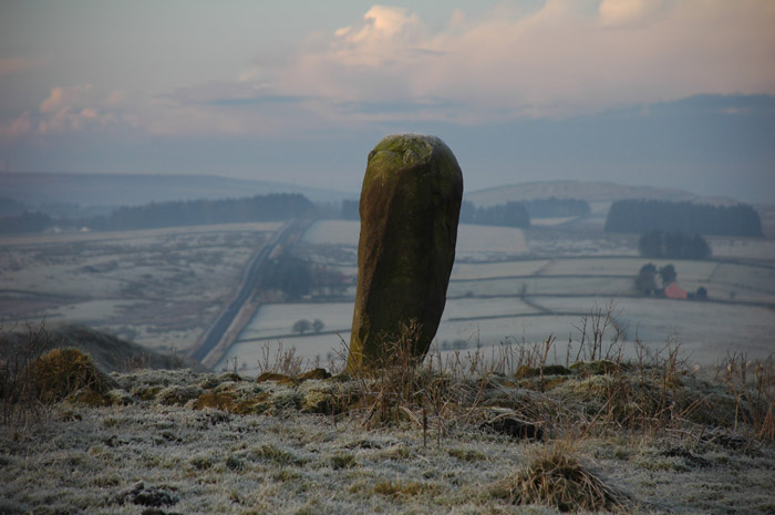
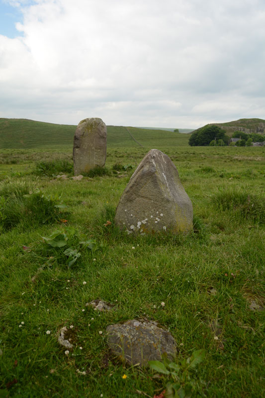
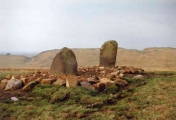
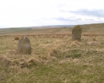
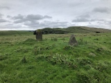
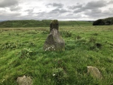
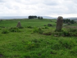
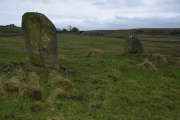
Coming up to the Mare and Foal from the north-west the stones clearly sat on a raised bank. In the early evening light, it looked very inviting. Closer up, we could see the area around it had been heavily quarried in a number of areas and it looked as if the stones might have been re-erected judging by the packing around them. Standing just south of the smaller stone, looking north up to Cawfields Gap and the Hadrian's Wall ridge, there is a third, smaller stone buried deep in the grass.
Anne T visited on 24th Jan 2016 - their rating: Cond: 3 Amb: 4 Access: 5 Mare & Foal Stone Circle, just west of Twice Brewed, Hadrian's Wall: After many months of not being able to get 'out and about', even though the day dawned dull, damp and dreary, it was great to be able to get out into the open countryside again. Strangely, we've driven past this little stone circle on many occasions as we've driven up and down the Military Road (the B6318), but I thought it was just north of Hadrian's Wall. How wrong can you be?
We'd been up into the Edges Green area to try and locate the course of the Roman Aqueduct which wends its way around the contours around here, but it's very difficult to pick out. Anyway, Roman's never did float my boat.
I've wanted to visit this stone circle for ages. We parked at the side of the road leading up toward Shield On The Wall farm. There is no actual footpath here, but it's possible to hop over the wooden fencing where the stone wall adjacent to the B6318 meets the wire fencing which runs northwards up the slope. There were no animals in the field, and the farmer was herding his sheep in the field opposite. I waved and he showed no signs of warning us off.
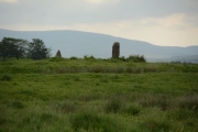
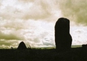
From the road looking west, it looks as if the stones sit on a low curved mound. The larger stone had a 'bruise' on one side, which in the photographs looked like a cup and ring, but actually seems to be where part of the stone has been broken away.
nicoladidsbury TheWhiteRider NickyD have visited here
Average ratings for this site from all visit loggers: Condition: 3 Ambience: 4 Access: 4
The 1769 Armstrong map of Northumberland marks 3 stones in situ. It has been suggested that the stones formed part of a ?four ? poster?. Loose boulders were packed around the base of the stones to prevent damage by cattle in 1992. The boulders are ?modern? in date and not part of a larger prehistoric feature.
You may be viewing yesterday's version of this page. To see the most up to date information please register for a free account.







These are just the first 25 photos of Mare and Foal. If you log in with a free user account you will be able to see our entire collection.
Do not use the above information on other web sites or publications without permission of the contributor.
Click here to see more info for this site
Nearby sites
Key: Red: member's photo, Blue: 3rd party photo, Yellow: other image, Green: no photo - please go there and take one, Grey: site destroyed
Download sites to:
KML (Google Earth)
GPX (GPS waypoints)
CSV (Garmin/Navman)
CSV (Excel)
To unlock full downloads you need to sign up as a Contributory Member. Otherwise downloads are limited to 50 sites.
Turn off the page maps and other distractions
Nearby sites listing. In the following links * = Image available
932m WNW 291° Cawfield Roman Fort Stone Fort or Dun (NY71666667)
2.2km NNW 345° Ventner's Hall Cairn (2)* Cairn (NY7198068434)
2.2km WNW 282° Aescia Roman Fort* Stone Fort or Dun (NY7036566800)
2.2km NNW 338° Ventner's Hall Cairn (1)* Cairn (NY71696841)
2.3km W 274° Aesica Vallum Round Barrow* Round Barrow(s) (NY70196650)
2.8km ENE 78° The Sill* Museum (NY7527566896)
3.1km E 91° Smith's Shield Milestone* Marker Stone (NY7561766242)
3.8km ENE 68° Hadrian's Wall - Milecastle 39* Stone Fort or Dun (NY76066773)
4.4km W 275° Hadrian's Wall (Turret 44b)* Misc. Earthwork (NY6813866704)
4.5km W 274° King Arthur's Well (Walltown Gap)* Holy Well or Sacred Spring (NY68066664)
4.5km E 89° Vindolanda Roman Fort* Stone Fort or Dun (NY7705266352)
4.6km NNE 33° Chatley Crags Ring Cairn (NY75077012)
4.7km ENE 70° Hadrian's Wall* Misc. Earthwork (NY770679)
4.8km SSW 210° Broomhouse (Haltwhistle)* Ancient Village or Settlement (NY70126222)
5.3km E 88° Long Stone (Barcombe Hill)* Ancient Cross (NY77896646)
5.8km E 85° Barcombe Hill Settlement* Ancient Village or Settlement (NY78306682)
5.9km ENE 57° Greenlee Lough A* Rock Art (NY7751669468)
6.2km NE 56° Ridley Common Enclosure* Ancient Village or Settlement (NY77676979)
6.2km NE 56° Ridley Common* Stone Circle (NY77756977)
6.4km ENE 68° Hadrian's Wall - Milecastle 37* Stone Fort or Dun (NY78506869)
6.6km NE 56° Greenlee Lough B* Rock Art (NY7806069988)
6.8km ESE 111° St Cuthbert's Church, Beltingham* Early Christian Sculptured Stone (NY789639)
6.9km ENE 69° Housesteads Roman Fort* Stone Fort or Dun (NY78986880)
7.1km ENE 75° Housesteads Mound* Misc. Earthwork (NY79386815)
7.1km ENE 73° Housesteads Tumulus* Artificial Mound (NY7938268330)
View more nearby sites and additional images


 We would like to know more about this location. Please feel free to add a brief description and any relevant information in your own language.
 Wir möchten mehr über diese Stätte erfahren. Bitte zögern Sie nicht, eine kurze Beschreibung und relevante Informationen in Deutsch hinzuzufügen.
 Nous aimerions en savoir encore un peu sur les lieux. S'il vous plaît n'hesitez pas à ajouter une courte description et tous les renseignements pertinents dans votre propre langue.
 Quisieramos informarnos un poco más de las lugares. No dude en añadir una breve descripción y otros datos relevantes en su propio idioma.