<< Our Photo Pages >> Nine Stones (Dorset) - Stone Circle in England in Dorset
Submitted by Andy B on Tuesday, 02 July 2024 Page Views: 56782
Neolithic and Bronze AgeSite Name: Nine Stones (Dorset) Alternative Name: Winterbourne AbbasCountry: England County: Dorset Type: Stone Circle
Nearest Town: Dorchester Nearest Village: Winterbourne Abbas
Map Ref: SY61089043 Landranger Map Number: 194
Latitude: 50.712190N Longitude: 2.552602W
Condition:
| 5 | Perfect |
| 4 | Almost Perfect |
| 3 | Reasonable but with some damage |
| 2 | Ruined but still recognisable as an ancient site |
| 1 | Pretty much destroyed, possibly visible as crop marks |
| 0 | No data. |
| -1 | Completely destroyed |
| 5 | Superb |
| 4 | Good |
| 3 | Ordinary |
| 2 | Not Good |
| 1 | Awful |
| 0 | No data. |
| 5 | Can be driven to, probably with disabled access |
| 4 | Short walk on a footpath |
| 3 | Requiring a bit more of a walk |
| 2 | A long walk |
| 1 | In the middle of nowhere, a nightmare to find |
| 0 | No data. |
| 5 | co-ordinates taken by GPS or official recorded co-ordinates |
| 4 | co-ordinates scaled from a detailed map |
| 3 | co-ordinates scaled from a bad map |
| 2 | co-ordinates of the nearest village |
| 1 | co-ordinates of the nearest town |
| 0 | no data |
Internal Links:
External Links:
I have visited· I would like to visit
AsgardW0lf would like to visit
RedKite1985 saw from a distance on 23rd Apr 2023 - their rating: Cond: 3 Amb: 2 Access: 3
philw visited on 30th Nov 2020 - their rating: Cond: 4 Amb: 3 Access: 3 the access through the field next to the 'little chef' which is looong gone and is now a car dealership is currently not possible due to National Power building something, so I had to walk along the road, past the site, then double back through the small bit of woodland. Easy enough, but there is no pavement on the road and it's very busy, so be careful.
Catrinm visited on 18th Mar 2019 - their rating: Cond: 3 Amb: 3 Access: 5
Ahdzib visited on 1st Jul 2013
graemefield visited on 5th Feb 2013 - their rating: Cond: 4 Amb: 4 Access: 4
woodini254 visited on 10th Oct 1994 - their rating: Cond: 4 Amb: 5 Access: 5
BolshieBoris visited on 1st Sep 1986 - their rating: Cond: 4 Amb: 4 Access: 4
NickyD visited - their rating: Cond: 4 Amb: 2 Access: 3
Bladup maddy TimPrevett hamish paulcall AngieLake davidmorgan JimChampion have visited here
Average ratings for this site from all visit loggers: Condition: 3.71 Ambience: 3.29 Access: 3.86
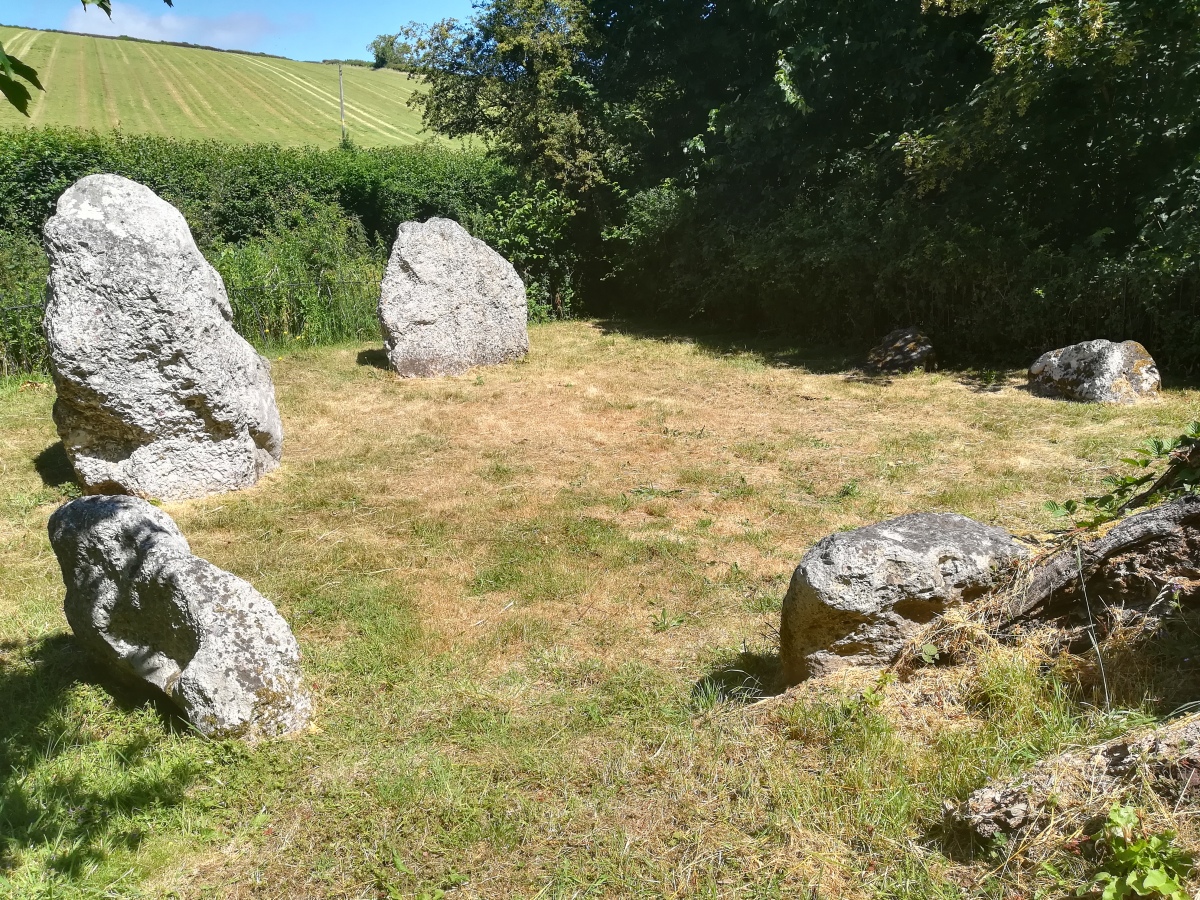
Burl suggests stones of differing sizes like this represent sexual symbolism, and are of SW Scottish influence. The most recent time I visited was a few weeks after the summer solstice, and someone had left two small clay objects like elongated dice on one of the stones. The objects had symbols cut into them.
Access: The circle now has a public footpath from the village of Winterbourne Abbas, though the field. The gate into the circle has been put back where the path meets the Circle. It's now a very pleasant walk indeed.
Alternatively there is a small parking area on the left hand side of the car dealership forecourt near the entrance gate with an English Heritage sign telling you how far it is to the circle (450m), If someone is parked there the next street along (towards the village) would have plenty of space and be fine to park in. There is also the wonderful X51 bus which goes past the circle and stops not far from it in the village. (With thanks to Bladup for the access update)
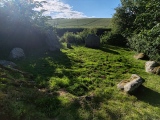
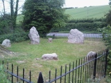
Note: Some recent photos - how different this looks to when we first started collecting them 25 years ago
You may be viewing yesterday's version of this page. To see the most up to date information please register for a free account.
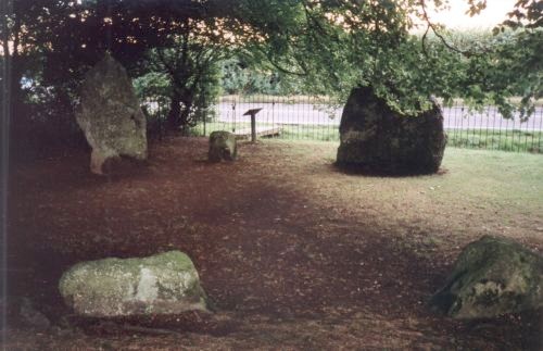
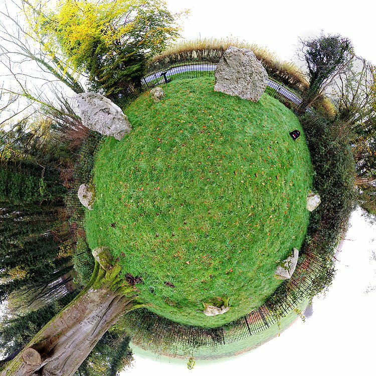


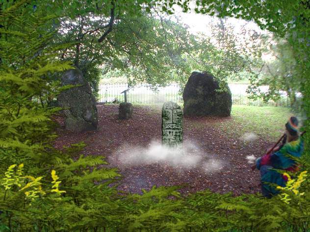






These are just the first 25 photos of Nine Stones (Dorset). If you log in with a free user account you will be able to see our entire collection.
Do not use the above information on other web sites or publications without permission of the contributor.
Click here to see more info for this site
Nearby sites
Key: Red: member's photo, Blue: 3rd party photo, Yellow: other image, Green: no photo - please go there and take one, Grey: site destroyed
Download sites to:
KML (Google Earth)
GPX (GPS waypoints)
CSV (Garmin/Navman)
CSV (Excel)
To unlock full downloads you need to sign up as a Contributory Member. Otherwise downloads are limited to 50 sites.
Turn off the page maps and other distractions
Nearby sites listing. In the following links * = Image available
797m SSE 156° Winterbourne Steepleton* Burial Chamber or Dolmen (SY614897)
803m WSW 237° Longlands barrow cemetery* Barrow Cemetery (SY604900)
1.0km SSW 207° Big Wood* Barrow Cemetery (SY606895)
1.5km W 268° Broad Stone (Dorset)* Stone Circle (SY59539040)
2.2km SSW 197° Winterbourne Steepleton 1* Long Barrow (SY6042788361)
2.2km W 277° Poor Lot Barrows* Barrow Cemetery (SY589907)
2.4km W 264° Pitcombe Down* Barrow Cemetery (SY587902)
2.6km SSW 195° Black Down Barrows (Dorset)* Barrow Cemetery (SY604879)
2.6km NE 38° Frampton Long Barrow Long Barrow (SY627925)
2.8km WNW 283° Hangman's Rocks Stone Circle (SY58389109)
2.8km S 185° Black Down (Dorset)* Modern Stone Circle etc (SY60818767)
2.8km SSE 167° Smitten Corner* Barrow Cemetery (SY617877)
2.8km S 175° Hardy Monument Barrows* Barrow Cemetery (SY61308760)
2.9km SSW 208° Valley of Stones quarry* Ancient Mine, Quarry or other Industry (SY59708788)
3.0km SSW 206° Valley of Stones polisher* Polissoir (SY59758778)
3.1km W 269° Kingston Russell 2* Long Barrow (SY580904)
3.1km W 271° Kingston Russell 1* Long Barrow (SY580905)
3.1km W 271° Kingston Russell Stone 3* Standing Stone (Menhir) (SY580905)
3.1km SSW 213° Crow Hill Enclosure* Ancient Village or Settlement (SY59368786)
3.2km NE 54° Bradford Peverell 1 Long Barrow (SY637923)
3.3km WNW 283° Long Bredy B Cursus Cursus (SY579912)
3.3km WNW 285° Kingston Russell Stone 1 Standing Stone (Menhir) (SY579913)
3.3km S 184° Portesham Stone Row* Stone Row / Alignment (SY608871)
3.4km SSW 204° Valley of Stones circle* Stone Circle (SY59668738)
3.4km S 186° Jeffrey & Joan (Portesham) Standing Stones (SY60708701)
View more nearby sites and additional images


 We would like to know more about this location. Please feel free to add a brief description and any relevant information in your own language.
 Wir möchten mehr über diese Stätte erfahren. Bitte zögern Sie nicht, eine kurze Beschreibung und relevante Informationen in Deutsch hinzuzufügen.
 Nous aimerions en savoir encore un peu sur les lieux. S'il vous plaît n'hesitez pas à ajouter une courte description et tous les renseignements pertinents dans votre propre langue.
 Quisieramos informarnos un poco más de las lugares. No dude en añadir una breve descripción y otros datos relevantes en su propio idioma.