<< Our Photo Pages >> Stanton Drew - Stone Circle in England in Somerset
Submitted by TheCaptain on Monday, 24 July 2023 Page Views: 11678
Neolithic and Bronze AgeSite Name: Stanton Drew Alternative Name: The WeddingsCountry: England County: Somerset Type: Stone Circle
Nearest Town: Bristol Nearest Village: Stanton Drew
Map Ref: ST60006330
Latitude: 51.367344N Longitude: 2.575969W
Condition:
| 5 | Perfect |
| 4 | Almost Perfect |
| 3 | Reasonable but with some damage |
| 2 | Ruined but still recognisable as an ancient site |
| 1 | Pretty much destroyed, possibly visible as crop marks |
| 0 | No data. |
| -1 | Completely destroyed |
| 5 | Superb |
| 4 | Good |
| 3 | Ordinary |
| 2 | Not Good |
| 1 | Awful |
| 0 | No data. |
| 5 | Can be driven to, probably with disabled access |
| 4 | Short walk on a footpath |
| 3 | Requiring a bit more of a walk |
| 2 | A long walk |
| 1 | In the middle of nowhere, a nightmare to find |
| 0 | No data. |
| 5 | co-ordinates taken by GPS or official recorded co-ordinates |
| 4 | co-ordinates scaled from a detailed map |
| 3 | co-ordinates scaled from a bad map |
| 2 | co-ordinates of the nearest village |
| 1 | co-ordinates of the nearest town |
| 0 | no data |
Internal Links:
External Links:
I have visited· I would like to visit
Brian_Eyes robinjolley would like to visit
Hayden visited on 4th May 2021 - their rating: Cond: 4 Amb: 3 Access: 4
Hayden visited on 4th May 2021 - their rating: Cond: 4 Amb: 3 Access: 4
SandyG visited on 2nd Mar 2016 - their rating: Cond: 3 Amb: 5 Access: 4
wildtalents visited on 10th Jul 2015 - their rating: Cond: 3 Amb: 4 Access: 3 I really hadn't appreciated how vast the main circle is and this can be a tricky site to make sense of. A few stones here and there suggestive of an avenue, smaller circles off over yonder, lots of prone or semi-prone boulders, weird clusters of stones that might have been a dolmen, or even a deliberate rectangular setting like the one at Casterigg. (Not forgetting the cove stones over by the pub.) Stanton Drew has to be seen to be believed and I think I will look out for a guided tour, if there is such a thing, to grasp the real context. I can't quite put my finger on it but the individual boulders are very distinctive with their grey-red hue.
markj99 visited on 29th Aug 2014 - their rating: Cond: 3 Amb: 5 Access: 4 At first sight I thought Stanton Drew circles were a jumble of stones, however after a 15 minute walk around the site the circles and avenues appeared before my eyes.
Richard13 visited on 1st Aug 2012 - their rating: Cond: 3 Amb: 4 Access: 5
TheCaptain Ahdzib mark_a mdensham hevveh have visited here
Average ratings for this site from all visit loggers: Condition: 3.33 Ambience: 4 Access: 4
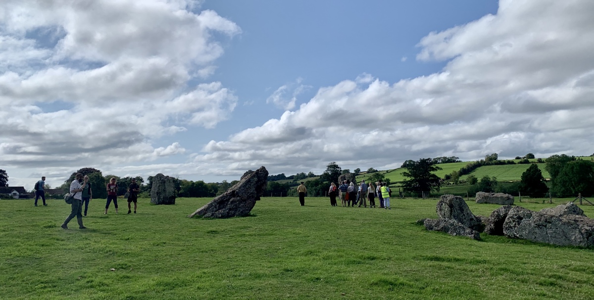
The name Stanton is derived from the Angle-Saxon "stan' (stone) 'tun' (farm), the Drew bit linking it with Druid. The site has not been excavated, but it is believed to be the same age as the Avebury circles. In the news in 1998 was the discovery of concentric post-hole rings inside the main circle. These showed up on a geophysical survey carried out by English Heritage with new, more sensitive magnetic instruments. They indicate that once there was a massive timber henge or building here.
The site has two legends common to many stone circles; a 'revellers turned to stone' story and the supposed impossibility of counting the stones.
Access: Stanton Drew is 9km south of Bristol, off the B3130. Travelling south into the village, fork left at the centre of the village. There should be a small signpost here. Turn left after 50m and follow the road through some houses to Court Farm. There is a small admission fee.
Note: Photos from our visit to the Stukeley 300 celebrations on Sunday 23rd July - 300 years to the day that William Stukeley visited Stanton Drew.
You may be viewing yesterday's version of this page. To see the most up to date information please register for a free account.
More pictures in our eGallery: Stanton Drew


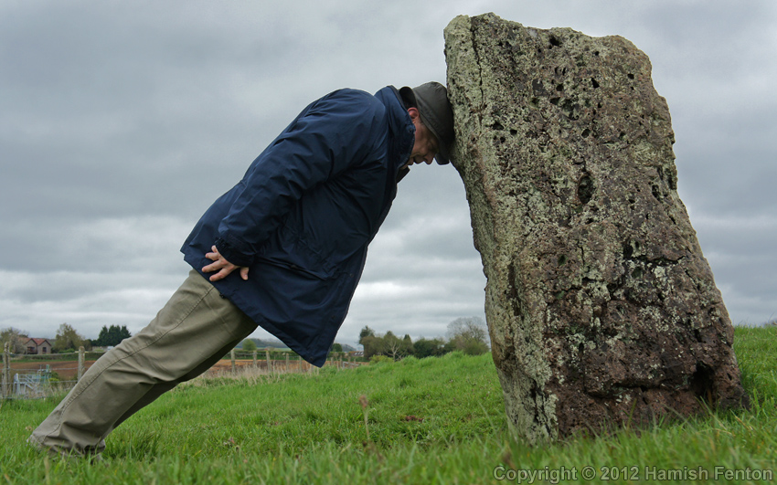




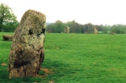
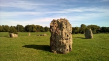
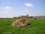


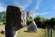
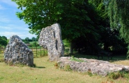

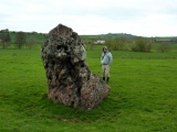


These are just the first 25 photos of Stanton Drew. If you log in with a free user account you will be able to see our entire collection.
Do not use the above information on other web sites or publications without permission of the contributor.
Click here to see more info for this site
Nearby sites
Key: Red: member's photo, Blue: 3rd party photo, Yellow: other image, Green: no photo - please go there and take one, Grey: site destroyed
Download sites to:
KML (Google Earth)
GPX (GPS waypoints)
CSV (Garmin/Navman)
CSV (Excel)
To unlock full downloads you need to sign up as a Contributory Member. Otherwise downloads are limited to 50 sites.
Turn off the page maps and other distractions
Nearby sites listing. In the following links * = Image available
22m SSW 206° Stanton Drew Great Circle* Stone Circle (ST59996328)
71m E 81° Stanton Drew - Avenue* Multiple Stone Rows / Avenue (ST60076331)
98m ENE 66° Stanton Drew NE Circle* Stone Circle (ST60096334)
126m ENE 71° Stanton Drew NE Avenue* Multiple Stone Rows / Avenue (ST60126334)
234m SSW 199° Stanton Drew SSW* Stone Circle (ST59926308)
320m SW 231° Stanton Drew - The Cove* Standing Stones (ST59756310)
528m NNE 18° Hautville's Quoit* Chambered Tomb (ST60176380)
1.0km W 273° Lower Tyning Standing Stones (ST58986337)
1.8km N 11° Norton Malreward Cross Base* Ancient Cross (ST6035265042)
2.3km W 267° Chew Magna Church Cross Ancient Cross (ST5767363199)
2.7km N 360° Maes Knoll* Hillfort (ST600660)
4.0km NW 322° Dundry Long Barrow* Long Barrow (ST57606645)
4.3km W 260° Pagans Hill* Ancient Temple (ST55766261)
4.3km WSW 246° Chew Stoke* Stone Circle (ST560616)
5.2km SSW 200° Burledge Hillfort* Hillfort (ST582584)
5.8km W 275° Leigh Down* Stone Circle (ST542639)
7.2km E 87° Stantonbury Camp* Hillfort (ST67256366)
7.9km WNW 286° Felton Village Bowl Barrow* Round Barrow(s) (ST52386550)
8.0km W 281° Felton Hill Bowl Barrow T30A* Round Barrow(s) (ST52126490)
8.1km WSW 259° Fairy Toot* Long Barrow (ST52056178)
8.2km W 280° Felton Bowl Barrows T28 & T29* Round Barrow(s) (ST51966480)
8.2km W 280° Felton Common Suck Stone* Natural Stone / Erratic / Other Natural Feature (ST5187164800)
8.4km W 266° Butcombe Barrow* Round Barrow(s) (ST51646273)
8.5km W 280° Felton Hill Long Barrow T26* Chambered Tomb (ST51626491)
8.6km NW 308° Fairy Well (Barrow Gurney) Holy Well or Sacred Spring (ST532686)
View more nearby sites and additional images


 We would like to know more about this location. Please feel free to add a brief description and any relevant information in your own language.
 Wir möchten mehr über diese Stätte erfahren. Bitte zögern Sie nicht, eine kurze Beschreibung und relevante Informationen in Deutsch hinzuzufügen.
 Nous aimerions en savoir encore un peu sur les lieux. S'il vous plaît n'hesitez pas à ajouter une courte description et tous les renseignements pertinents dans votre propre langue.
 Quisieramos informarnos un poco más de las lugares. No dude en añadir una breve descripción y otros datos relevantes en su propio idioma.