<< Our Photo Pages >> Stanton Drew SSW - Stone Circle in England in Somerset
Submitted by TheCaptain on Tuesday, 17 September 2019 Page Views: 11117
Neolithic and Bronze AgeSite Name: Stanton Drew SSWCountry: England County: Somerset Type: Stone Circle
Nearest Town: Bristol Nearest Village: Stanton Drew
Map Ref: ST59926308 Landranger Map Number: 172
Latitude: 51.365360N Longitude: 2.577093W
Condition:
| 5 | Perfect |
| 4 | Almost Perfect |
| 3 | Reasonable but with some damage |
| 2 | Ruined but still recognisable as an ancient site |
| 1 | Pretty much destroyed, possibly visible as crop marks |
| 0 | No data. |
| -1 | Completely destroyed |
| 5 | Superb |
| 4 | Good |
| 3 | Ordinary |
| 2 | Not Good |
| 1 | Awful |
| 0 | No data. |
| 5 | Can be driven to, probably with disabled access |
| 4 | Short walk on a footpath |
| 3 | Requiring a bit more of a walk |
| 2 | A long walk |
| 1 | In the middle of nowhere, a nightmare to find |
| 0 | No data. |
| 5 | co-ordinates taken by GPS or official recorded co-ordinates |
| 4 | co-ordinates scaled from a detailed map |
| 3 | co-ordinates scaled from a bad map |
| 2 | co-ordinates of the nearest village |
| 1 | co-ordinates of the nearest town |
| 0 | no data |
Internal Links:
External Links:
I have visited· I would like to visit
myf would like to visit
Phillwhite visited on 18th Sep 2021 - their rating: Cond: 3 Amb: 4 Access: 4
RichFox visited on 25th Aug 2020 - their rating: Cond: 4 Amb: 5 Access: 4 Visited Stanton Drew for the first time in August, to my shame because I've been living only 40 mins away for some time now. A remarkable place. It inspired me to start drawing again! The circle is huge, and the cove adds to the odd, pleasingly unsettling atmosphere of it all. Very easy to access and modestly advertised, I would say it is as magnificent as Avebury or Stonehenge but simply overlooked. Well worth a visit, and I shall be returning soon!
Tiamthe visited on 6th Aug 2019 - their rating: Cond: 4 Amb: 5 Access: 4
NickyD visited on 1st Aug 2015 - their rating: Cond: 3 Amb: 4 Access: 4
markj99 visited on 29th Aug 2014 - their rating: Cond: 2 Amb: 3 Access: 3 The SSW Circle is badly neglected in comparison with its larger neighbours. Admittedly, there is also much less to see.
Jansold visited on 17th May 2013 - their rating: Cond: 3 Amb: 4 Access: 4
SolarMegalith visited on 28th Apr 2012 - their rating: Cond: 3 Amb: 4 Access: 4 Visited during the Megalithic Portal Meeting on 28th of April 2012.
4clydesdale7 visited on 28th Apr 2012 - their rating: Cond: 4 Amb: 4 Access: 4 Impressive - part of the MP day out
Ogham visited on 9th Jul 2010 - their rating: Cond: 2 Amb: 4 Access: 4
BolshieBoris visited on 1st Sep 2008 - their rating: Cond: 3 Amb: 3 Access: 4
woodini254 visited on 27th Dec 1993 - their rating: Cond: 4 Amb: 5 Access: 4
jlfern2 visited - their rating: Cond: 4 Amb: 5 Access: 5
Ramblesnbrambles Humbucker Andy B TheCaptain davidmorgan TimPrevett mdensham hevveh have visited here
Average ratings for this site from all visit loggers: Condition: 3.25 Ambience: 4.17 Access: 4

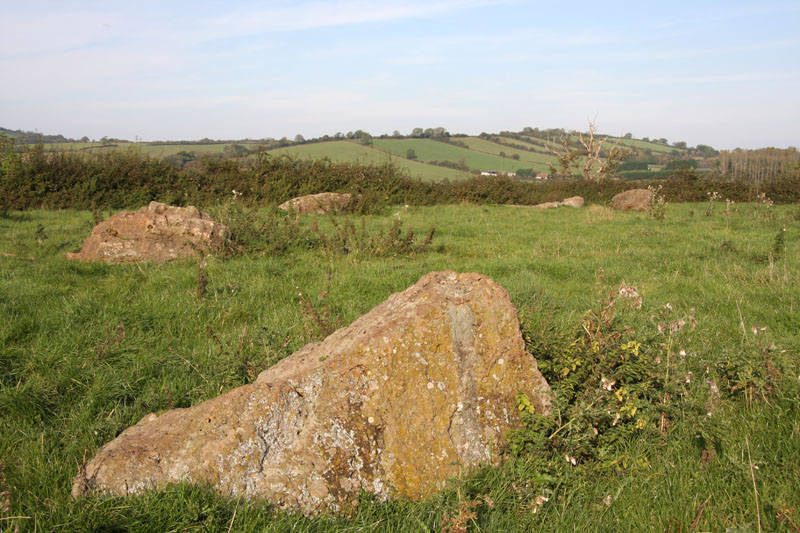
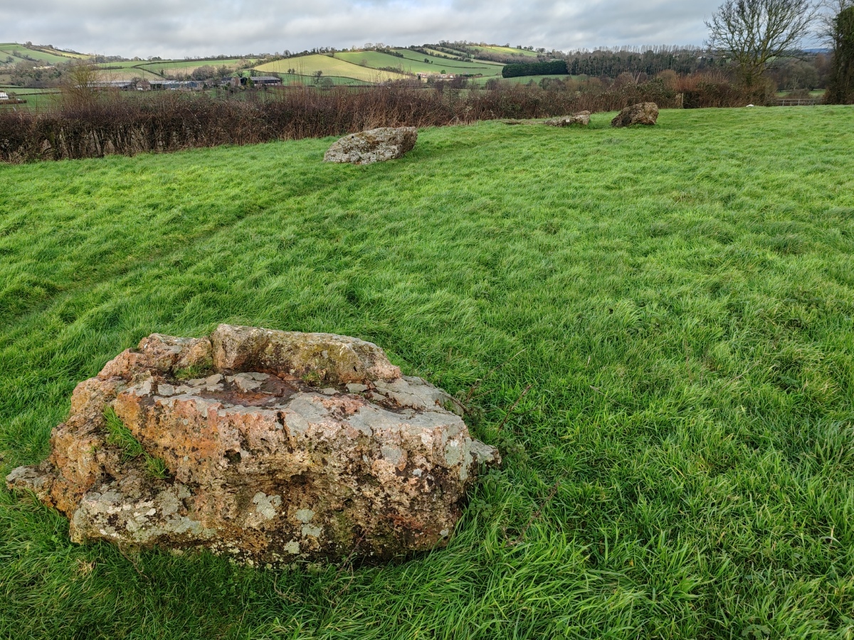
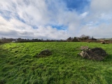
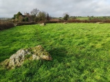
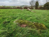
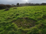
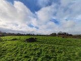
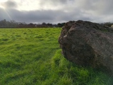
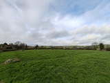
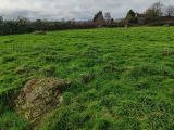
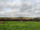
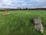
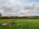
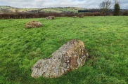
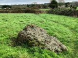
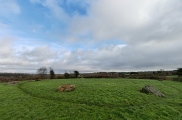
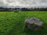
The ring is badly ruined, none of the stones are standing in their original upright positions. From the centre of NE ring to the 7-foot stones of SSW ring, the southern moon sets.
In 2011, Terence Meaden and Pete Glastonbury found fresh 'excavations' by a badger from under stone 10 of the SSW circle. Two scrapers and some bones were found exposed. These were given to English Heritage who were about to start examining them.
Page originally by Tom Bullock.
You may be viewing yesterday's version of this page. To see the most up to date information please register for a free account.




These are just the first 25 photos of Stanton Drew SSW. If you log in with a free user account you will be able to see our entire collection.
Do not use the above information on other web sites or publications without permission of the contributor.
Click here to see more info for this site
Nearby sites
Key: Red: member's photo, Blue: 3rd party photo, Yellow: other image, Green: no photo - please go there and take one, Grey: site destroyed
Download sites to:
KML (Google Earth)
GPX (GPS waypoints)
CSV (Garmin/Navman)
CSV (Excel)
To unlock full downloads you need to sign up as a Contributory Member. Otherwise downloads are limited to 50 sites.
Turn off the page maps and other distractions
Nearby sites listing. In the following links * = Image available
171m W 276° Stanton Drew - The Cove* Standing Stones (ST59756310)
212m NNE 19° Stanton Drew Great Circle* Stone Circle (ST59996328)
234m NNE 19° Stanton Drew* Stone Circle (ST60006330)
274m NNE 33° Stanton Drew - Avenue* Multiple Stone Rows / Avenue (ST60076331)
310m NNE 33° Stanton Drew NE Circle* Stone Circle (ST60096334)
328m NE 37° Stanton Drew NE Avenue* Multiple Stone Rows / Avenue (ST60126334)
762m NNE 19° Hautville's Quoit* Chambered Tomb (ST60176380)
981m WNW 287° Lower Tyning Standing Stones (ST58986337)
2.0km NNE 12° Norton Malreward Cross Base* Ancient Cross (ST6035265042)
2.2km W 273° Chew Magna Church Cross Ancient Cross (ST5767363199)
2.9km N 1° Maes Knoll* Hillfort (ST600660)
4.1km NW 325° Dundry Long Barrow* Long Barrow (ST57606645)
4.2km W 263° Pagans Hill* Ancient Temple (ST55766261)
4.2km WSW 249° Chew Stoke* Stone Circle (ST560616)
5.0km SSW 200° Burledge Hillfort* Hillfort (ST582584)
5.8km W 278° Leigh Down* Stone Circle (ST542639)
7.3km E 85° Stantonbury Camp* Hillfort (ST67256366)
7.9km WNW 287° Felton Village Bowl Barrow* Round Barrow(s) (ST52386550)
8.0km W 260° Fairy Toot* Long Barrow (ST52056178)
8.0km WNW 283° Felton Hill Bowl Barrow T30A* Round Barrow(s) (ST52126490)
8.1km WNW 282° Felton Bowl Barrows T28 & T29* Round Barrow(s) (ST51966480)
8.2km WNW 282° Felton Common Suck Stone* Natural Stone / Erratic / Other Natural Feature (ST5187164800)
8.3km W 267° Butcombe Barrow* Round Barrow(s) (ST51646273)
8.5km WNW 282° Felton Hill Long Barrow T26* Chambered Tomb (ST51626491)
8.5km SW 227° Barrow Well (Compton Martin) Holy Well or Sacred Spring (ST537573)
View more nearby sites and additional images


 We would like to know more about this location. Please feel free to add a brief description and any relevant information in your own language.
 Wir möchten mehr über diese Stätte erfahren. Bitte zögern Sie nicht, eine kurze Beschreibung und relevante Informationen in Deutsch hinzuzufügen.
 Nous aimerions en savoir encore un peu sur les lieux. S'il vous plaît n'hesitez pas à ajouter une courte description et tous les renseignements pertinents dans votre propre langue.
 Quisieramos informarnos un poco más de las lugares. No dude en añadir una breve descripción y otros datos relevantes en su propio idioma.