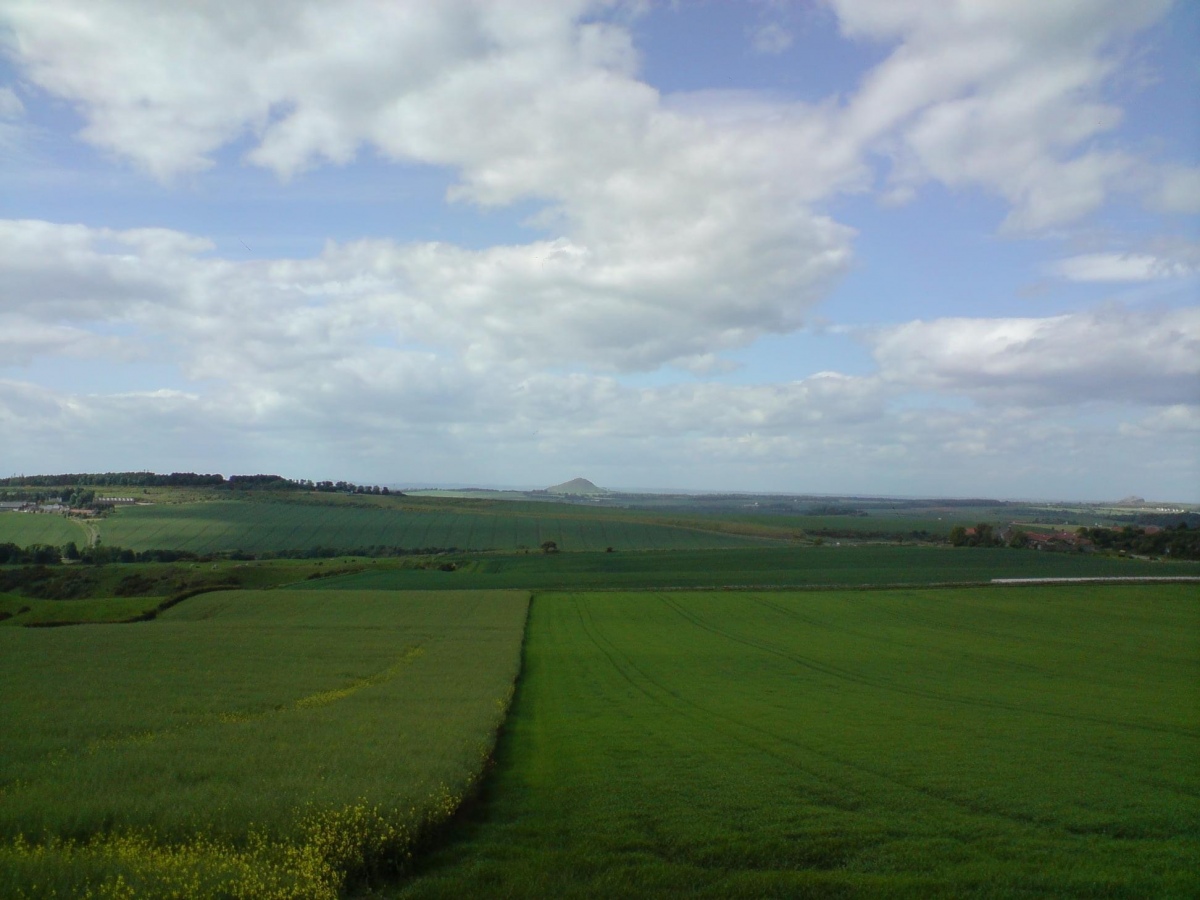
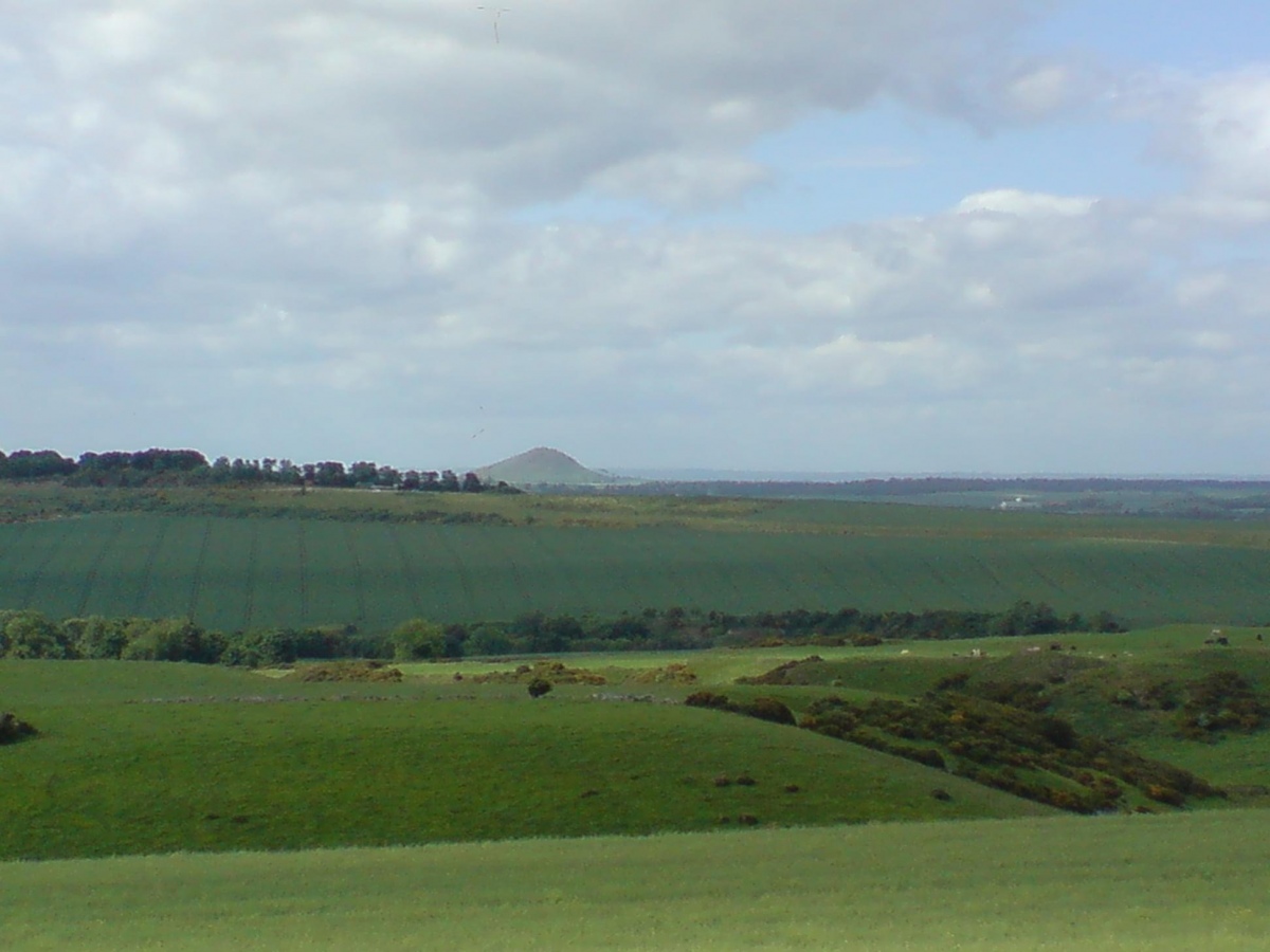
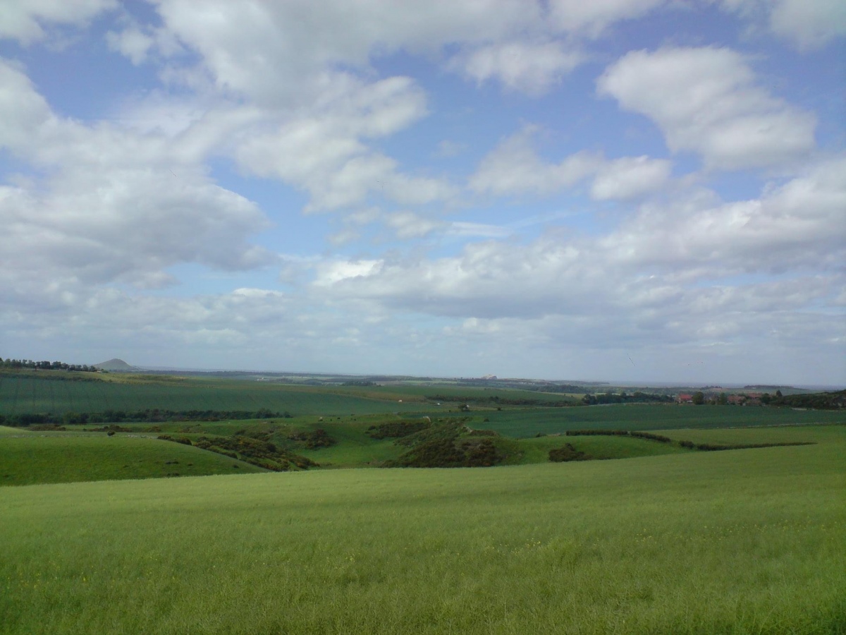
<< Our Photo Pages >> North Berwick Law - Ancient Village or Settlement in Scotland in East Lothian
Submitted by cosmic on Monday, 21 July 2008 Page Views: 9957
Multi-periodSite Name: North Berwick LawCountry: Scotland
NOTE: This site is 0.3 km away from the location you searched for.
County: East Lothian Type: Ancient Village or Settlement
Nearest Town: North Berwick
Map Ref: NT555839
Latitude: 56.045890N Longitude: 2.715923W
Condition:
| 5 | Perfect |
| 4 | Almost Perfect |
| 3 | Reasonable but with some damage |
| 2 | Ruined but still recognisable as an ancient site |
| 1 | Pretty much destroyed, possibly visible as crop marks |
| 0 | No data. |
| -1 | Completely destroyed |
| 5 | Superb |
| 4 | Good |
| 3 | Ordinary |
| 2 | Not Good |
| 1 | Awful |
| 0 | No data. |
| 5 | Can be driven to, probably with disabled access |
| 4 | Short walk on a footpath |
| 3 | Requiring a bit more of a walk |
| 2 | A long walk |
| 1 | In the middle of nowhere, a nightmare to find |
| 0 | No data. |
| 5 | co-ordinates taken by GPS or official recorded co-ordinates |
| 4 | co-ordinates scaled from a detailed map |
| 3 | co-ordinates scaled from a bad map |
| 2 | co-ordinates of the nearest village |
| 1 | co-ordinates of the nearest town |
| 0 | no data |
Internal Links:
External Links:
I have visited· I would like to visit
schwagmyre has visited here
According to Canmore there are five groups of hut circles on the South slopes of North Berwick Law, totalling some twenty odd individual sites.
Janet and I stumbled across this one descending the hill but cannot give its exact location and obviously the Canmore Grid reference only gives a general location.
Note: more details can be found on Canmore ID 56674, although this only gives the 6 digit grid reference above. An extract from their entry reads: "On the S slopes of North Berwick Law are many rock-faced terraces, some of which appear walled, others scooped to form huts or enclosures. On the SW shoulder are two adjoining, stone-walled rectangular enclosures measuring 33ft by 25ft and 22ft by 15ft. Further up the hill are three roughly circular stone-walled enclosures varying from 18ft in diameter to 33ft. On the same level, to the W, is a roughly quadrilateral area 18ft to 20ft across, enclosed by a setting of seven stones, with an entrance in the E wall ... Spread over the lower southern slopes of North Berwick Law are five groups of hut circles and enclosures, totalling twenty-one individual structures. A few are oval, but most are circular, varying from 8.0m to 13.0m in diameter; all are scooped. There are indications of cultivation in the form of wasted banks forming strip fields towards the E end of the settlement."
The Canmore record also gives details of desk evaluations and a 2012 excavation.
You may be viewing yesterday's version of this page. To see the most up to date information please register for a free account.


Do not use the above information on other web sites or publications without permission of the contributor.
Click here to see more info for this site
Nearby sites
Key: Red: member's photo, Blue: 3rd party photo, Yellow: other image, Green: no photo - please go there and take one, Grey: site destroyed
Download sites to:
KML (Google Earth)
GPX (GPS waypoints)
CSV (Garmin/Navman)
CSV (Excel)
To unlock full downloads you need to sign up as a Contributory Member. Otherwise downloads are limited to 50 sites.
Turn off the page maps and other distractions
Nearby sites listing. In the following links * = Image available
1.3km N 356° St. Andrew's Well Holy Well or Sacred Spring (NT55438520)
3.7km E 80° St. Baldred's Well (Auldhame)* Holy Well or Sacred Spring (NT59168450)
4.1km W 270° Piper's Stone (Dirleton) Standing Stone (Menhir) (NT51438392)
4.9km ESE 118° Our Lady's Well (Whitekirk) Holy Well or Sacred Spring (NT598816)
5.2km SW 216° Boar Stone (Drem)* Ancient Cross (NT52427975)
5.6km WNW 291° Eldbotle Wood (Dirleton) Cairn (NT50258593)
6.9km SSE 150° Prestonkirk Cursus Cursus (NT58927790)
7.0km SSE 147° Prestonkirk Cursus Cursus (NT59257798)
7.2km SSE 147° St Baldred's Well* Holy Well or Sacred Spring (NT59317780)
7.2km SE 144° Prestonkirk Cursus Cursus (NT59657799)
7.3km SE 142° Prestonkirk Cursus Cursus (NT60007809)
7.4km SW 219° The Chesters* Hillfort (NT50767826)
7.5km SSE 159° Pencraig Brae* Standing Stone (Menhir) (NT58087681)
8.2km WSW 254° Brand's Well* Holy Well or Sacred Spring (NT47588171)
8.2km W 263° King's Chair (Gullane Hill) Natural Stone / Erratic / Other Natural Feature (NT47308299)
8.5km SSW 205° Kaeheughs Hillfort (NT51837627)
8.8km SE 135° Kirklandhill* Standing Stone (Menhir) (NT61687760)
9.5km WSW 247° Aberlady Bay Standing Stone (Menhir) (NT46768022)
9.5km SSE 164° Traprain Law* Hillfort (NT5805674696)
9.6km SSE 162° Maiden Stone (East Lothian)* Standing Stone (Menhir) (NT5830774748)
10.0km SSE 166° Loth Stone* Standing Stone (Menhir) (NT5782374146)
10.5km SSE 167° Standingstone (East Lothian)* Standing Stone (Menhir) (NT57737363)
10.7km SSW 200° Custom Stone (Haddington) Marker Stone (NT51697388)
11.7km SE 144° Rood Well* Holy Well or Sacred Spring (NT6237674417)
14.3km SE 127° Witches' Stone (Spott)* Holy Well or Sacred Spring (NT66917520)
View more nearby sites and additional images


 We would like to know more about this location. Please feel free to add a brief description and any relevant information in your own language.
 Wir möchten mehr über diese Stätte erfahren. Bitte zögern Sie nicht, eine kurze Beschreibung und relevante Informationen in Deutsch hinzuzufügen.
 Nous aimerions en savoir encore un peu sur les lieux. S'il vous plaît n'hesitez pas à ajouter une courte description et tous les renseignements pertinents dans votre propre langue.
 Quisieramos informarnos un poco más de las lugares. No dude en añadir una breve descripción y otros datos relevantes en su propio idioma.