<< Our Photo Pages >> Eggardon Hill - Hillfort in England in Dorset
Submitted by TimPrevett on Friday, 15 March 2024 Page Views: 32415
Iron Age and Later PrehistorySite Name: Eggardon Hill Alternative Name: EggardunCountry: England County: Dorset Type: Hillfort
Nearest Town: Bridport Nearest Village: Powerstock
Map Ref: SY54129472 Landranger Map Number: 194
Latitude: 50.750257N Longitude: 2.651709W
Condition:
| 5 | Perfect |
| 4 | Almost Perfect |
| 3 | Reasonable but with some damage |
| 2 | Ruined but still recognisable as an ancient site |
| 1 | Pretty much destroyed, possibly visible as crop marks |
| 0 | No data. |
| -1 | Completely destroyed |
| 5 | Superb |
| 4 | Good |
| 3 | Ordinary |
| 2 | Not Good |
| 1 | Awful |
| 0 | No data. |
| 5 | Can be driven to, probably with disabled access |
| 4 | Short walk on a footpath |
| 3 | Requiring a bit more of a walk |
| 2 | A long walk |
| 1 | In the middle of nowhere, a nightmare to find |
| 0 | No data. |
| 5 | co-ordinates taken by GPS or official recorded co-ordinates |
| 4 | co-ordinates scaled from a detailed map |
| 3 | co-ordinates scaled from a bad map |
| 2 | co-ordinates of the nearest village |
| 1 | co-ordinates of the nearest town |
| 0 | no data |
Internal Links:
External Links:
I have visited· I would like to visit
ForestDaughter Andy B SumDoood would like to visit
ajd001 visited on 1st Jan 2016 - their rating: Cond: 4 Amb: 5 Access: 4 Views of around 60 miles to Start Point in south Devon.
RedKite1985 visited on 1st Jan 1998 - their rating: Cond: 4 Amb: 4 Access: 4
TimPrevett have visited here
Average ratings for this site from all visit loggers: Condition: 4 Ambience: 4.5 Access: 4
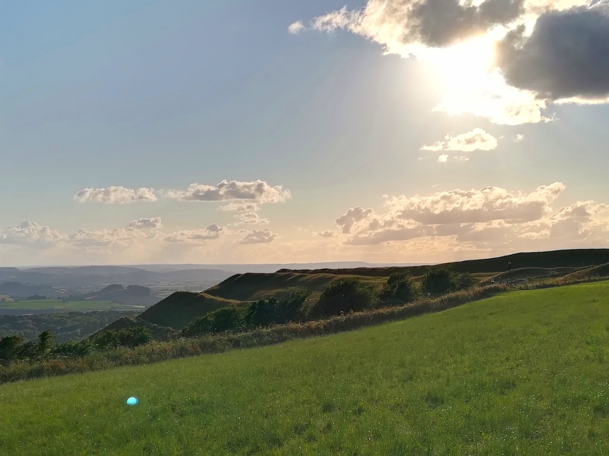
It requires very little to appreciate it, and its position. As a comparison, it needs even less effort than the Dorset Maiden Castle or the Old Oswestry Hillfort in Shropshire - both of which are easy ascents.
Car parking is best on the much wider section of the road next to the north east corner of the fort, and then using the footpath a little way to the east that runs south-west - north-east.
The southern half of the fort is owned by the National Trust, and the northern half is private, but is bisected by a path running east-west.
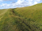
There are two Bronze Age barrows within the Iron Age fort, as well as more modern remains. Field boundaries, and a huge octagonal feature run across the interior, but are well disguised by taller grass, thistles and nettles in summer. The octagonal feature has been described as an arboretum, or coppice, and was also used to give navigational assistance to sea farers.
Two original entrances to the fort are on the south east, and north west sides. These are not inturned like many hillforts, but cut through the ramparts at a steep diagonal angle to offer greater defence.
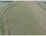
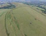
On the southern ramparts of the fort, there is evidence that the fort suffered a substantial landslide of the ramparts here during its Iron Age life. This is shown by disturbed ramparts being reworked into line with the other ramparts, and can be seen from the aerial photographs (links above).
One wonders how the eastern defences worked effectively, as it is by far the most vulnerable side, lacking the natural steepness the other sides have.
It is worth having a couple layers of clothes available when paying a visit; we went on a warm August day, and still there was a fresh breeze up there; one can only imagine how penetrating it must get at other times of the year. It is also possible for a thick fog to quickly appear here.
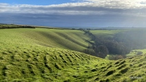
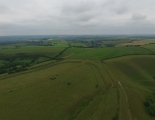
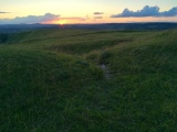
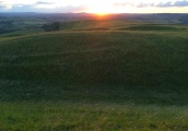
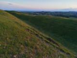
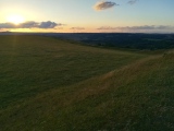
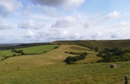
A very impressive location, with a near 360 degrees panorama, and is worth a visit for the views alone.
You may be viewing yesterday's version of this page. To see the most up to date information please register for a free account.


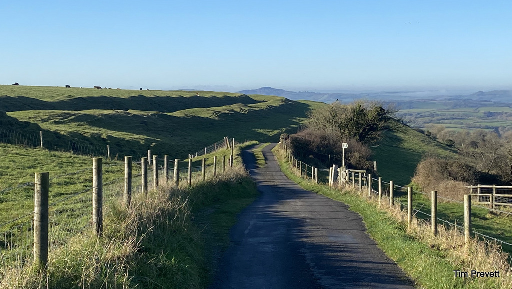






These are just the first 25 photos of Eggardon Hill. If you log in with a free user account you will be able to see our entire collection.
Do not use the above information on other web sites or publications without permission of the contributor.
Click here to see more info for this site
Nearby sites
Key: Red: member's photo, Blue: 3rd party photo, Yellow: other image, Green: no photo - please go there and take one, Grey: site destroyed
Download sites to:
KML (Google Earth)
GPX (GPS waypoints)
CSV (Garmin/Navman)
CSV (Excel)
To unlock full downloads you need to sign up as a Contributory Member. Otherwise downloads are limited to 50 sites.
Turn off the page maps and other distractions
Nearby sites listing. In the following links * = Image available
571m ESE 102° Eggardon earthwork* Henge (SY54689460)
1.7km SE 124° Two Gates (Dorset)* Burial Chamber or Dolmen (SY5548593770)
2.8km ESE 116° West Compton Bowl Barrow Round Barrow(s) (SY56619347)
2.9km SSW 202° Chilcombe Hill* Hillfort (SY530920)
3.3km SSE 153° Litton Cheney* Timber Circle (SY5562591741)
3.4km SSW 202° Chilcombe Hill Barrows* Round Barrow(s) (SY528916)
3.5km ESE 110° West Compton Fort Hillfort (SY574935)
3.7km NNE 31° Toller Porcorum* Standing Stones (SY561979)
4.3km SW 232° Shipton Hill* Hillfort (SY507921)
4.4km SE 140° Martin's Down Round Barrows* Round Barrow(s) (SY569913)
4.5km SE 135° Kingston Russell Standing Stone* Standing Stone (Menhir) (SY57259149)
4.7km SE 139° Long Bredy Bank Barrow* Long Barrow (SY57179115)
4.8km SE 138° Long Bredy Barrow Cemetery* Barrow Cemetery (SY5726491115)
4.8km SE 136° Martin's Down Bell Barrows* Round Barrow(s) (SY57419124)
4.8km SE 136° Long Bredy A Cursus* Cursus (SY57419124)
5.0km SE 140° Long Bredy 2* Long Barrow (SY573909)
5.1km SE 132° Kingston Russell Stone 1 Standing Stone (Menhir) (SY579913)
5.2km SE 133° Long Bredy B Cursus Cursus (SY579912)
5.6km SE 130° Hangman's Rocks Stone Circle (SY58389109)
5.7km SE 137° Kingston Russell 1* Long Barrow (SY580905)
5.7km SE 137° Kingston Russell Stone 3* Standing Stone (Menhir) (SY580905)
5.8km SE 138° Kingston Russell 2* Long Barrow (SY580904)
6.1km NNE 14° Wraxall Cromlech Burial Chamber or Dolmen (ST557006)
6.2km SE 130° Poor Lot Barrows* Barrow Cemetery (SY589907)
6.4km SE 134° Pitcombe Down* Barrow Cemetery (SY587902)
View more nearby sites and additional images


 We would like to know more about this location. Please feel free to add a brief description and any relevant information in your own language.
 Wir möchten mehr über diese Stätte erfahren. Bitte zögern Sie nicht, eine kurze Beschreibung und relevante Informationen in Deutsch hinzuzufügen.
 Nous aimerions en savoir encore un peu sur les lieux. S'il vous plaît n'hesitez pas à ajouter une courte description et tous les renseignements pertinents dans votre propre langue.
 Quisieramos informarnos un poco más de las lugares. No dude en añadir una breve descripción y otros datos relevantes en su propio idioma.