<< Our Photo Pages >> Priddy Circles - Henge in England in Somerset
Submitted by JJ on Friday, 17 June 2011 Page Views: 33433
Site WatchSite Name: Priddy Circles Alternative Name: Priddy Henges; The Castles; The RingsCountry: England County: Somerset Type: Henge
Nearest Town: Wells Nearest Village: Priddy
Map Ref: ST54005280 Landranger Map Number: 182
Latitude: 51.272482N Longitude: 2.660792W
Condition:
| 5 | Perfect |
| 4 | Almost Perfect |
| 3 | Reasonable but with some damage |
| 2 | Ruined but still recognisable as an ancient site |
| 1 | Pretty much destroyed, possibly visible as crop marks |
| 0 | No data. |
| -1 | Completely destroyed |
| 5 | Superb |
| 4 | Good |
| 3 | Ordinary |
| 2 | Not Good |
| 1 | Awful |
| 0 | No data. |
| 5 | Can be driven to, probably with disabled access |
| 4 | Short walk on a footpath |
| 3 | Requiring a bit more of a walk |
| 2 | A long walk |
| 1 | In the middle of nowhere, a nightmare to find |
| 0 | No data. |
| 5 | co-ordinates taken by GPS or official recorded co-ordinates |
| 4 | co-ordinates scaled from a detailed map |
| 3 | co-ordinates scaled from a bad map |
| 2 | co-ordinates of the nearest village |
| 1 | co-ordinates of the nearest town |
| 0 | no data |
Internal Links:
External Links:
I have visited· I would like to visit
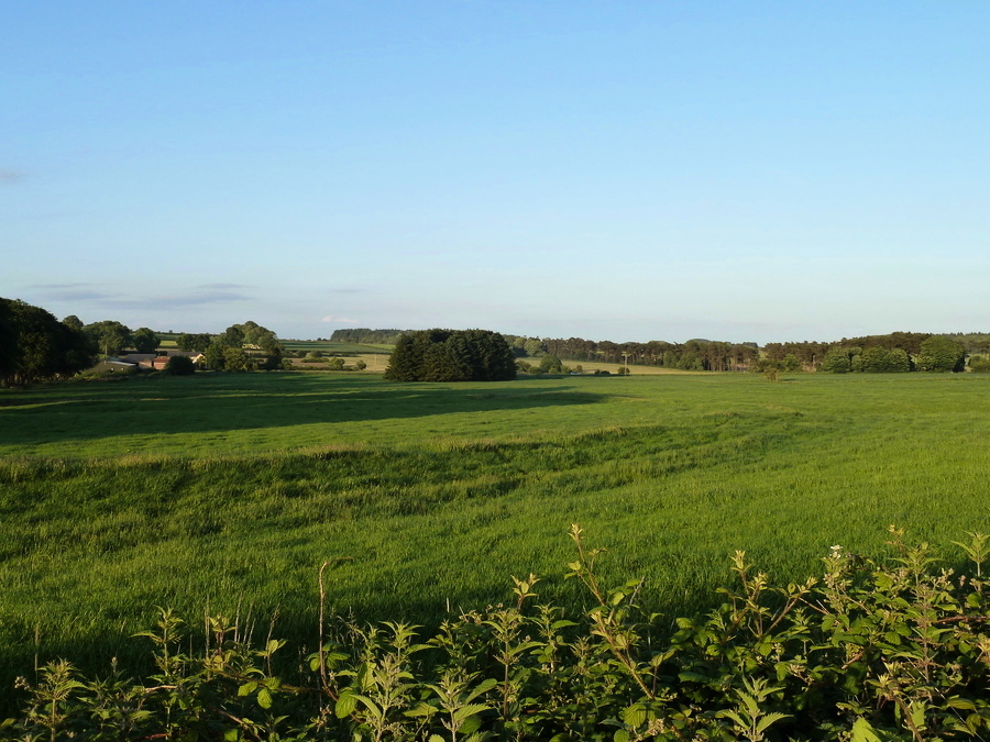
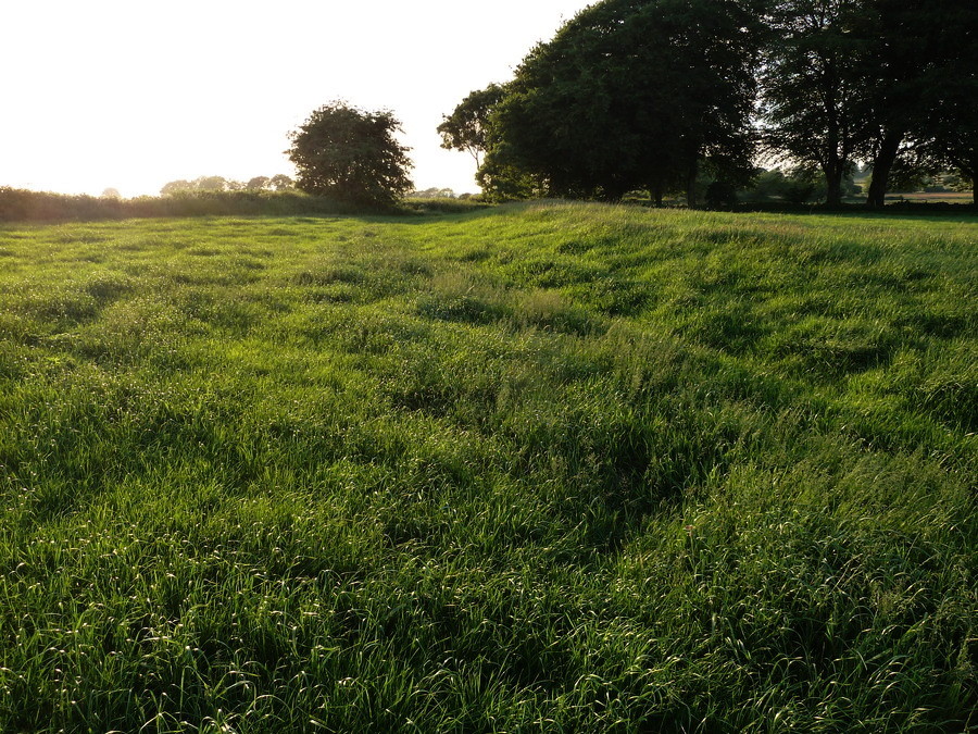
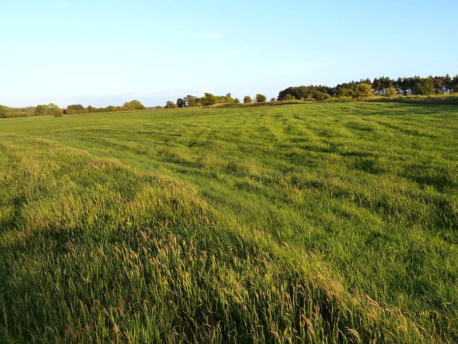
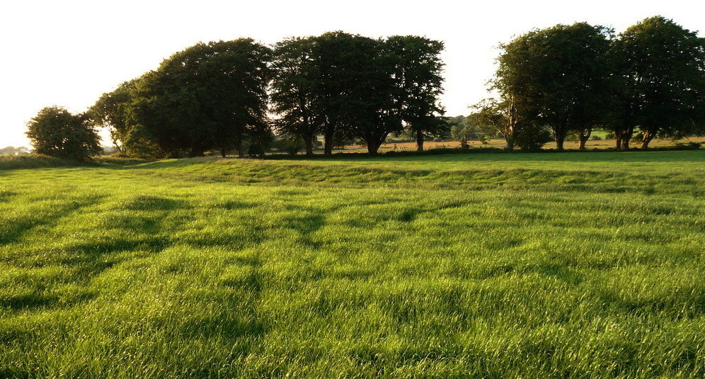
Tik visited on 19th Jan 2011 - their rating: Cond: 2 Amb: 4 Access: 1 Absolutely beautiful at sunset, can still tell bank and ditch features but clearly it has been worn down and eroded- gaps in the circles could be interpreted as entrances but contributing factors are weathering over time and animal grazing...
Andy B Mose have visited here
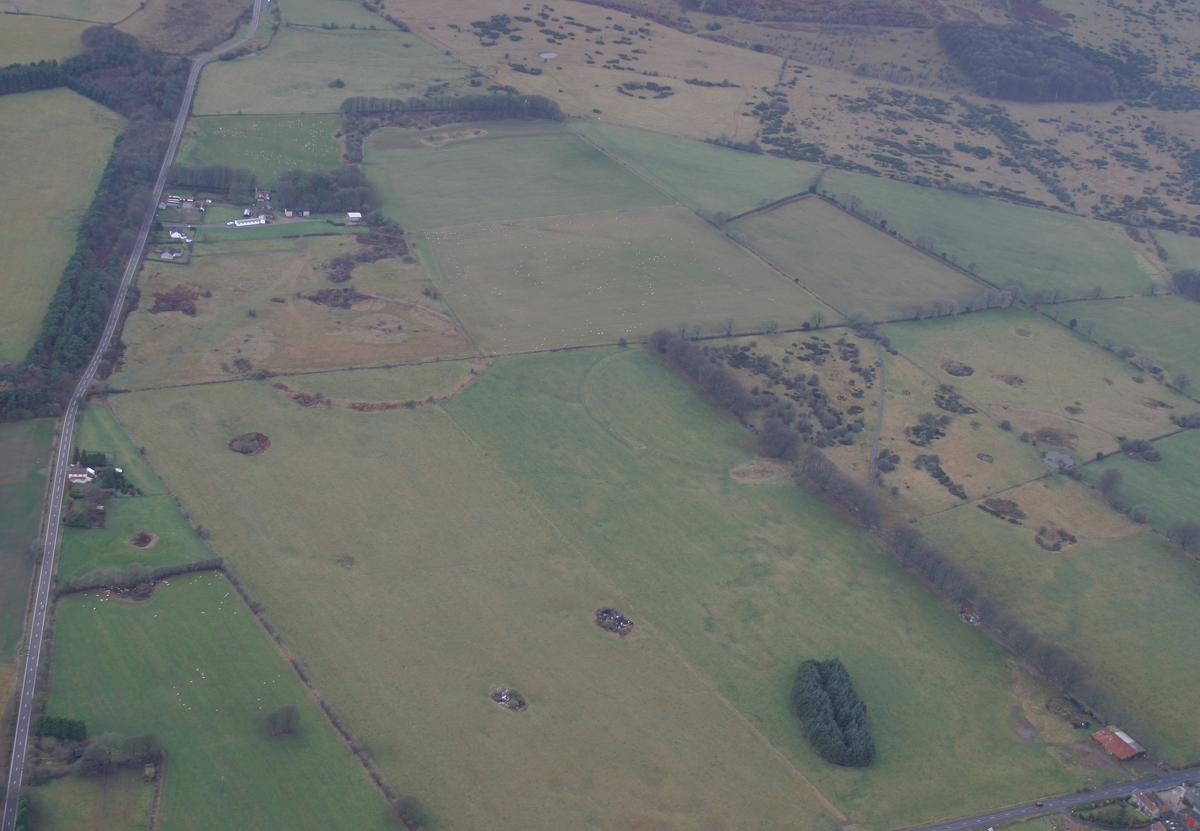
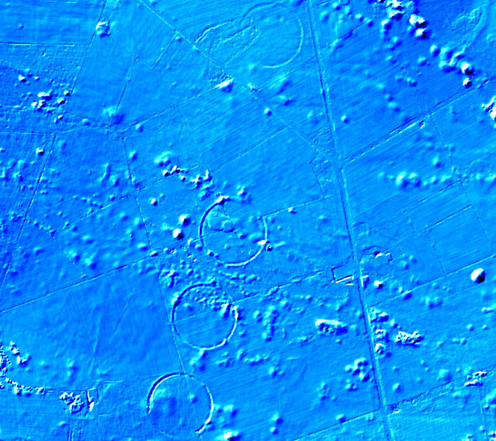
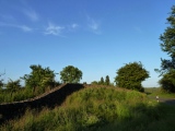
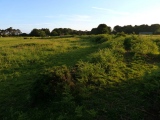
The total arrangement is spread over roughly 1.2km. The B3135 cuts through the circles and follows the course of the Roman road which runs between Charterhouse and Old Sarum.
Excavations carried out between 1956 and 1959 by members of the University of Bristol Spelaeological Society showed that the banks had stone cores with post and stake holes on either side. Geophysical surveys in 1995 and a magnetometer survey in 2006 explored the make up of the circles.
They are probably Neolithic ritual or ceremonial monuments similar to a henge. The external rather than internal ditches makes them unique in Britain.
Although no dating evidence has been found, they appear to be contemporary with Stonehenge. The circles are the most important surviving Neolithic sites in Somerset.
The Northern Antiquarian (TNA) also features a page for this site - see their entry for Priddy Henges, Priddy, Somerset, which includes a plan of the henges, an aerial photograph and an old drawing of the central henge.
They are also recorded as Pastscape Monument No. 197579.
Note: Fears one of Priddy circles has been obliterated, see latest comment
You may be viewing yesterday's version of this page. To see the most up to date information please register for a free account.
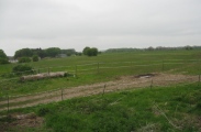
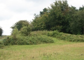
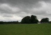
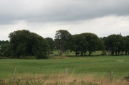
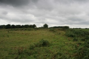


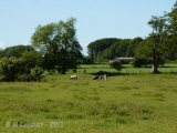
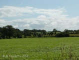
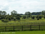


These are just the first 25 photos of Priddy Circles. If you log in with a free user account you will be able to see our entire collection.
Do not use the above information on other web sites or publications without permission of the contributor.
Click here to see more info for this site
Nearby sites
Key: Red: member's photo, Blue: 3rd party photo, Yellow: other image, Green: no photo - please go there and take one, Grey: site destroyed
Download sites to:
KML (Google Earth)
GPX (GPS waypoints)
CSV (Garmin/Navman)
CSV (Excel)
To unlock full downloads you need to sign up as a Contributory Member. Otherwise downloads are limited to 50 sites.
Turn off the page maps and other distractions
Nearby sites listing. In the following links * = Image available
14m SE 135° Priddy Circles C* Henge (ST54015279)
238m NNE 22° Priddy Circles N* Henge (ST54095302)
257m SSW 193° Priddy Circles S* Henge (ST53945255)
576m ESE 115° Castle Farm Long Barrow* Long Barrow (ST54525255)
756m S 187° Ashen Hill Barrows* Barrow Cemetery (ST53905205)
779m NNE 15° Priddy Circles Unfinished N* Henge (ST54215355)
1.3km S 183° Priddy Nine Barrows* Barrow Cemetery (ST53925149)
1.4km NNW 349° Pool Farm Cist* Rock Art (ST53745415)
2.0km SW 224° Priddy Church Barrows* Barrow Cemetery (ST526514)
2.1km SSE 165° Fair Lady Well* Holy Well or Sacred Spring (ST54515079)
2.1km NNW 334° Wright's Piece barrows (N)* Barrow Cemetery (ST531547)
2.1km NW 322° Wright's Piece barrows (S)* Barrow Cemetery (ST527545)
2.3km S 185° Eastwater Tumuli Round Barrow(s) (ST5377250539)
2.7km WSW 245° Townsend Farm Barrow Cemetery* Barrow Cemetery (ST5152851658)
3.0km NW 324° Whites Town Farm Tumulus* Round Barrow(s) (ST5223355265)
3.1km W 264° Cheddar Head Stone Circle (ST509525)
3.2km SW 233° Priddy long barrow* Long Barrow (ST5141550915)
3.2km WSW 249° Bristol Plain Farm Barrow Cemetery* Barrow Cemetery (ST5097951665)
3.3km SE 144° Hunter's Lodge Inn Barrow* Round Barrow(s) (ST559501)
3.5km NNW 340° Fernhill Farm* Modern Stone Circle etc (ST52865606)
3.5km SSE 147° Drove Cottage Henge* Henge (ST559498)
4.0km SW 232° Westbury-Sub-Mendip Cave or Rock Shelter (ST50855036)
4.4km NW 312° Nordrach Tumulus* Round Barrow(s) (ST5078755765)
4.5km N 356° Barrow Well (Compton Martin) Holy Well or Sacred Spring (ST537573)
4.6km SSW 208° Deerleap Stones* Standing Stones (ST51804876)
View more nearby sites and additional images


 We would like to know more about this location. Please feel free to add a brief description and any relevant information in your own language.
 Wir möchten mehr über diese Stätte erfahren. Bitte zögern Sie nicht, eine kurze Beschreibung und relevante Informationen in Deutsch hinzuzufügen.
 Nous aimerions en savoir encore un peu sur les lieux. S'il vous plaît n'hesitez pas à ajouter une courte description et tous les renseignements pertinents dans votre propre langue.
 Quisieramos informarnos un poco más de las lugares. No dude en añadir una breve descripción y otros datos relevantes en su propio idioma.